Search Results for: upper yarra track

Upper Yarra Track Section Eleven: Ada Tree to Big Pat’s Creek:

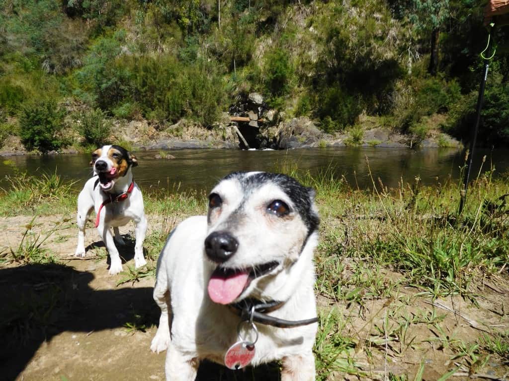
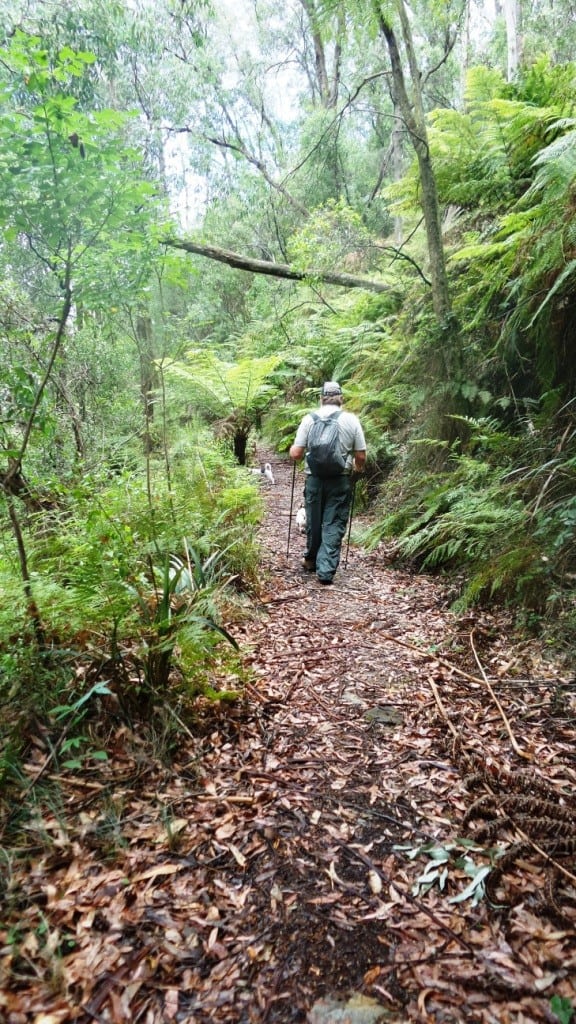
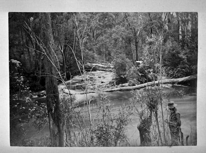
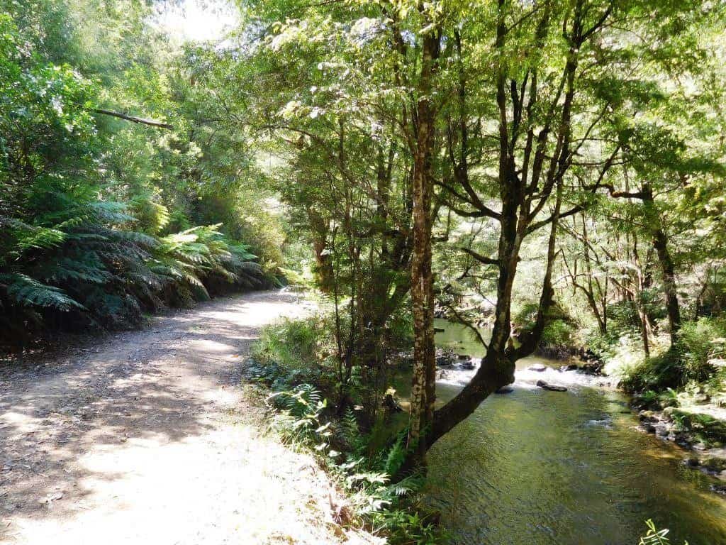
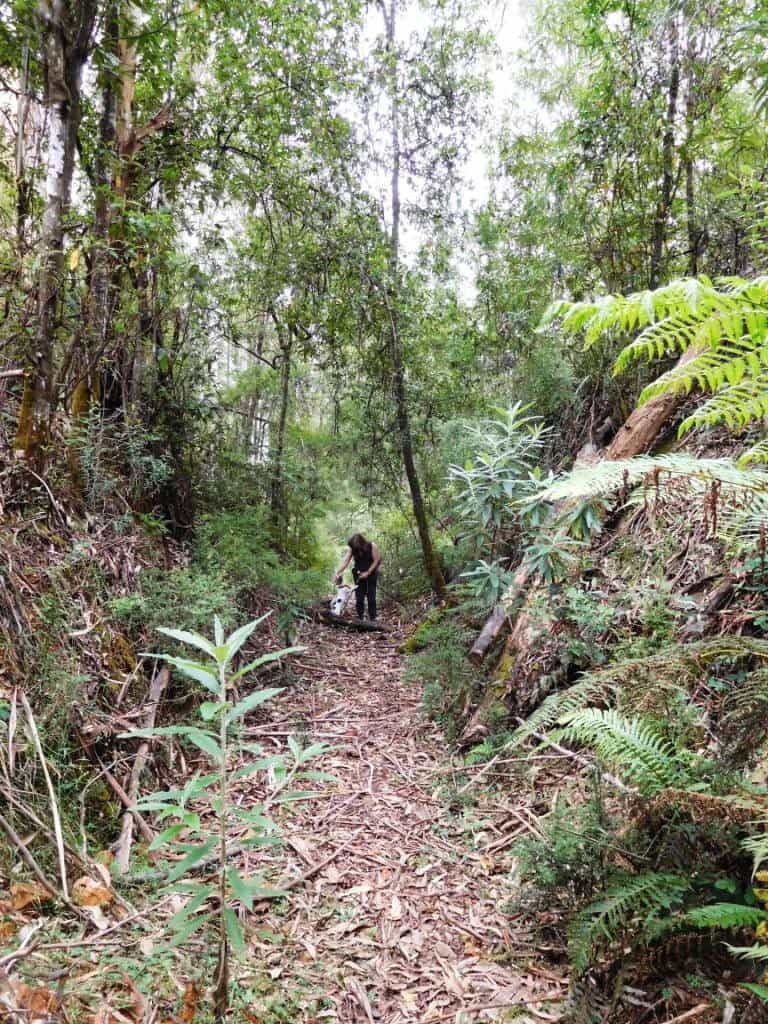
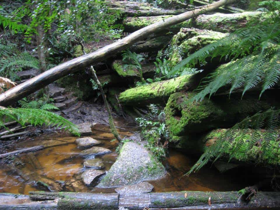
As you can see the track is well made, delightful  and easy to follow from the Ada Tree all the way to Warburton, with numerous signposts. If you have a couple of days to spare, this is a pleasant jaunt. You can turn it into a loop: http://www.theultralighthiker.com/ada-tree-loop-walk-4-days/ Gerard White and his partner Bridgette completed […]

Upper Yarra Track Section Eleven: Ada Tree to Big Pat’s Creek: Read More »

Upper Yarra Track Section Eight: St Gwinear Track Junction to Whitelaw’s Hut:

The route along the tops is a delightful mix of alpine heath and snow gums. Every couple of kms you will find a small stream (sometimes to the side of the track) with fresh water. For example there is water near the St Gwinear turnoff, just after Mt St Phillack, at Mustering Flat and in

Upper Yarra Track Section Eight: St Gwinear Track Junction to Whitelaw’s Hut: Read More »

Upper Yarra Track Sidetrip: Horseshoe Tunnel/Coopers Creek

Only a bit over a km from Platina Station on the walk from Erica to Walhalla you can take this lovely walk down to the historic Horseshoe Tunnel. The tunnel was created over a century ago to divert the river so the dry river bed could be sluiced for gold. The sidetrip takes about 1.5

Upper Yarra Track Sidetrip: Horseshoe Tunnel/Coopers Creek Read More »

Upper Yarra Track: Section Five: Erica to Walhalla:

This is a delightful easy section following historic tramways linking two of the most beautiful small towns in the world. It perambulates gently through majestic mountain ash and tree fern gullies with splendid views of the awesome Thomson River. It offers numerous opportunities to sightsee, sidetrack or camp. 12 km – @ 4 hours. NB:

Upper Yarra Track: Section Five: Erica to Walhalla: Read More »

Upper Yarra Track: Early Visits to Yarra Falls:

  The Argus Melbourne Wednesday 21 December 1904: UPPER YARRA FALLS, A.J.Campbell Junction of Yarra and Falls Creek (1905) Interesting but rarelv visited scenes are to be found at the upper sources of the Yarra between Mount Baw Baw and the main Dividing Range The locality has never been completely surveyed and many of the

Upper Yarra Track: Early Visits to Yarra Falls: Read More »

Upper Yarra Track 1912 Victorian Railways Brochure:

Picturesque Victoria and How to Get There: http://handle.slv.vic.gov.au/10381/299535 Click on: ‘The Warburton-Walhalla Trip via Yarra Falls and Mount Baw Baw’: PS: It is in Pdf. I have tried and tried to convert this to Word so I can post it whole, but I have failed…There is an absolutely beautiful [c 1900] photo by A.J. Campbell

Upper Yarra Track 1912 Victorian Railways Brochure: Read More »

Upper Yarra Track Winter Route: Downey to Newlands

Last Monday we spent ‘beating around the bush’ near Downey (Tanjil Bren area). Downey is another one of those ‘lost’ towns of the Victorian mountains. Pretty much all that remains is this huge sawdust heap in the forest: how many woodland giants went to make it up I wonder? Mostly the trees milled here were

Upper Yarra Track Winter Route: Downey to Newlands Read More »

Upper Yarra Track Winter Route: Western Tyers to Tanjil Bren:

After you have camped the night, cooked and eaten your trout &/or crayfish, walk West along the Tyers. The Western Tyers Road follows the course of the old timber tramline which carried the forest’s products via Caringal to Collins Siding (Erica) and onwards to a wider market where they were used to construct houses and

Upper Yarra Track Winter Route: Western Tyers to Tanjil Bren: Read More »

Upper Yarra Track: Winter Route: Western Tyers: Morgans Mill & Skinners Camp:

From Caringal you can journey to Western Tyers via Morgans Mill Rd (open forest) or Buckle Spur, cool wet forest tree ferns and mountain ash. Probably 2-3 hours either way. There used to be a walking track along the river which followed the old railway line all the way to Growlers, but it has grown

Upper Yarra Track: Winter Route: Western Tyers: Morgans Mill & Skinners Camp: Read More »

Upper Yarra Track: Winter Route: Caringal Scout Camp: Tyers Junction

You might reach here by walking down the rail trail from Collins Siding (10 km – 2-3 hours), where the cottages are on the main Erica-Moe Rd at the Caringal turnoff. The trail runs along behind the cottage on the West side starting to the North of them. Or, you might come down the East

Upper Yarra Track: Winter Route: Caringal Scout Camp: Tyers Junction Read More »