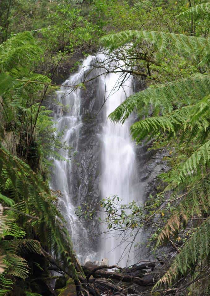
The Upper Yarra Walking Track

War on Campers

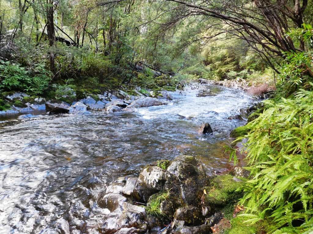
As we returned from our foray to the Upper Yarra Track on Xmas Day we cut down through a long sub-continental-shaped ‘tongue’ of forest which hangs down East of Noojee pointing towards Trafalgar along the Upper Latrobe River (Note to self to investigate canoeing that particular stretch of river). We passed through/by the ‘Hawthorn Bridge […]

War on Campers Read More »

Upper Yarra Track: Some History

Upper Yarra Track: Some History: http://parkweb.vic.gov.au/…/pdf_file/0017/313181/22_2158.pdf Upper Yarra Track: A Rare Treat: in digital form a facsimile of Annie Hoffa’s 1929 book, ‘The Real Thing, Adventures in the Australian Bush’ detailing her 1928 solo walk from Walhalla to Warburton. Sadly, Dr Yoffa was murdered by a madman (whose name weirdly enough was also Jones –

Upper Yarra Track: Some History Read More »

Upper Yarra & Australian Alps Walking Tracks

  Upper Yarra Walking Track: Update 1: I reckon the best approach to this track for most people would be to catch a train to Moe, then a taxi to Erica. MTE have a charter service: http://www.mountaintopexperience.com/ If there are four hikers this should not cost more than @ $30 ea. Walk along the old

Upper Yarra & Australian Alps Walking Tracks Read More »

Upper Yarra & Australian Alps Walking Tracks

  The Upper Yarra Walking Track (82 km) which extends from Warburton to Walhalla is Australia’s oldest walking track (1907). It has been neglected for a long time. There are no Government brochures or websites dedicated to it. There is a track description in the Siseman Book ‘The Australian Alps Walking Track’ (1988) which is

Upper Yarra & Australian Alps Walking Tracks Read More »

Upper Yarra Walking Track (Day 3)

Day 3 of our reconnaissance of the Upper Yarra walking track: We cannot believe that such an outstandingly beautiful area lies so close to home and, even more amazingly, so close to Melbourne. In the 3 days we saw only 3 other vehicles, none of which was recreational. We sorted out the available streams for

Upper Yarra Walking Track (Day 3) Read More »

GPS Phone Apps & 25K Vicmaps

These 25K Vicmaps are GREAT and value @ $8 ea: http://services.land.vic.gov.au/maps/content/topo30wizard They can be viewed with full georeferenceing functionality (ie GPS, etc) with this great App on your phone, tablet etc: http://www.avenza.com/pdf-maps You need never get lost and can safely plan your next adventure, eg to walk the ‘Upper Yarra Trail’ from Warburton to Walhalla

GPS Phone Apps & 25K Vicmaps Read More »