Mountain Areas of Victoria

Over the Baw Baws to Walhalla 1922

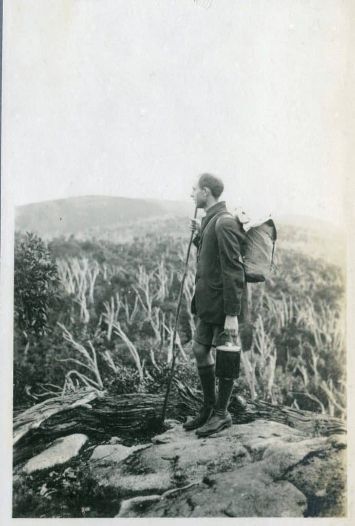
These (more than 70) fascinating photos of a memorable historic trip on the Upper Yarra Track illuminate a journey by John Jensen in 1922. The photos are held by the Melbourne Walking Club and are available here: The photos were sent to me once again by Thomas Osburg of Yarra Ranges Bush Camp. I have […]

Over the Baw Baws to Walhalla 1922 Read More »

Wilderness Siligloo

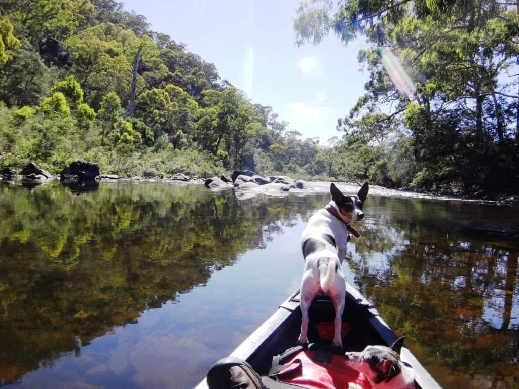
Nearly 6″ of rain had fallen in the Wonnangatta River catchment recently. The river was still ‘up’ so I reckoned this would be my last opportunity this summer to canoe this section of this wonderful river. Yes, you can hitch a ride in. NB: You can check the river heights here and assess how many

Wilderness Siligloo Read More »

Kokoda Track Memorial Walk:

This delightful track is located right on the Melbourne fringe near Upper Ferntree Gully Railway Station. For people of my era it is a ‘walk into history’ as so many of our close relatives (fathers, uncles, etc) were involved in this heroic struggle, either in New Guinea (or WW2 in general) in one way or

Kokoda Track Memorial Walk: Read More »

An Excursion to the Upper Yarra Falls:

This was a three part article in the  Leader Melbourne, Vic, Saturday 15, 22 & 29 November 1884, The Contributor: ‘By G’ kindly provided by Thomas Osburg of Yarra Ranges Bush Camp. Much of it is incredible, to say the least. The author has explained the value of solitude and the preservation of wilderness so

An Excursion to the Upper Yarra Falls: Read More »

The Remote Wonnangatta, Day Two

Posted Monday night on Facebook: ‘Listen to the birdsong: 6:30am Monday morning in one of the most remote spots in Victoria, Wonnangatta River Alpine Nat Park. From Melbourne it would take you 7 1/2 hours by car (1 1/2 of them 4WD) and either a solid day’s hiking or 4 hours in a pack raft

The Remote Wonnangatta, Day Two Read More »

A Wonnangatta Spring, Day Three:

From Neates Track down to the Kingwell Bridge takes about 2 1/2 hours paddling. If you put in at the riverside camp just above Neates track it would take three hours. This would be a pleasant excursion if you were camped there. Mostly this section travels through farmland but as with much of the river,

A Wonnangatta Spring, Day Three: Read More »

A Wonnangatta Spring, Day Two:

Very little rain was forecast for the three days – and very little fell. We were however treated during the night to that beautiful brooding, ominous rolling booming of thunderstorms clawing their way across the faces of the mountains, and to the mysterious comings and goings of the cervine denizens to their wallow not twenty

A Wonnangatta Spring, Day Two: Read More »

A Wonnangatta Spring, Day One:

Finding just the right conjunction of time, three days of delightful spring weather and enough water to make the river canoeable is harder now than it was before the bushfires years ago when the river height was over 1.8 metres on the Waterford gauge all summer. Now it rarely is. Last winter was quite dry

A Wonnangatta Spring, Day One: Read More »

Wonnangatta-Moroka Trip Cut Short

Originally posted 2/08/2011: ‘Back early from three days’ hunting/hiking in Wonnangatta-Moroka NP due to sore toes (Have to do more research into boots) and accidentally taking the three-quarter length Neoair mat which was a bit harsh on my bad back. However saw lots of deer, some of whom visited me during the night.’ (This is

Wonnangatta-Moroka Trip Cut Short Read More »

Yarra Ranges 1866

A friend recently sent me a copy of this splendid 1866 map of the County of Buln Buln, to the East of Melbourne. What a historic treasure it is! you can clearly see the route of what would later be ‘The Upper Yarra Track’ on it. This is what makes this fabulous walking track ‘Australia’s

Yarra Ranges 1866 Read More »