Mountain Areas of Victoria

Upper Yarra Track Map:

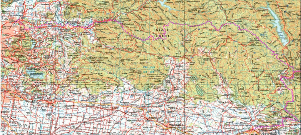
Here is a map showing the whole of the (Extended) Upper Yarra Track from Lilydale all the way to Moe, approximately 250 km and 8-10 days: Australia’s oldest and best long distance hiking track. It could be a better map, but it is better than no map. I have used the 1:250,000 Australian Topo map […]

Upper Yarra Track Map: Read More »

Upper Yarra Walking Track

My friend Gerard White walked the Upper Yarra Track last week – from Waburton to Walhalla. With his kind permission here is his account of the trip: Day 1: Big Pats Creek to New Federal Mill (21km) (4 people) Last week (Sunday) I set off from Warburton headed for Walhalla on the Upper Yarra Track.

Upper Yarra Walking Track Read More »

Wirilda Reflection

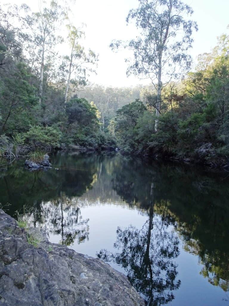
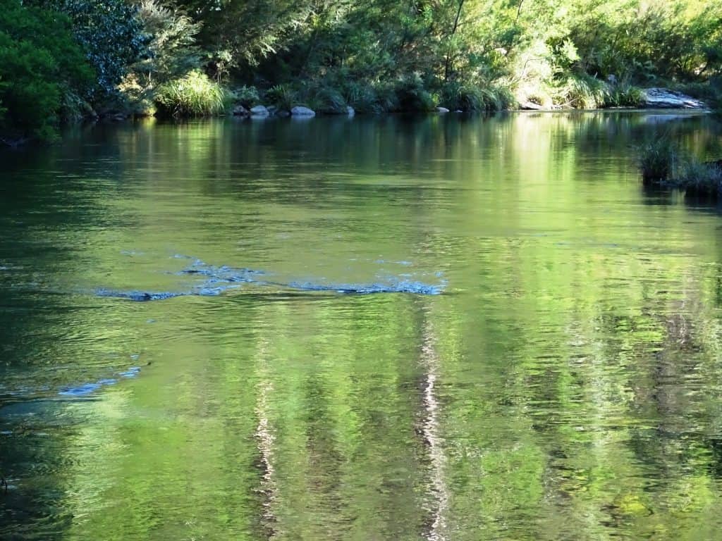
We knocked off early on Anzac Day to have a stroll along the Wirilda Track from the W3 ‘road’ downstream. (I am still recovering, slowly). You can put a canoe in here and with some difficulty paddle down to the old Morwell pumping station at Wirilda Park. The river used to be clearer (and may

Wirilda Reflection Read More »

Wonnangatta: Waterford to Angusvale Day One:

This is a truly wonderful section of the river. One of Australia’s greatest treasures and one of our last wild rivers! It took us fourteen hours (paddling and portaging) to make it from Meyers Flat (15 minutes below Waterford by canoe – but easier to put in) to the first take-out point at Angusvale. The

Wonnangatta: Waterford to Angusvale Day One: Read More »

All Flesh is Grass:

How many deer are out there in the bush? The study below looks at an area in the Upper Yarra (Dam) catchment (you may not – legally – hunt) where the author has performed transects and other measurements to estimate 200 sambar deer per square kilometer in this small area of good feed. That’s two

All Flesh is Grass: Read More »

Some Days are Sapphires:

Yesterday was. Our 45th wedding anniversary – so naturally we went for a walk! Mt St Gwinear to Mt St Phillack return makes an enjoyable 12 km on a very hot day down here in the valley (34C). Up there (in the clouds) it would have been at most 21C but with a cool wind

Some Days are Sapphires: Read More »

Canoe Wonnangatta: Kingwill Bridge to Meyers Flat

We returned to this beautiful section of the river again this year for a three day trip. Last year we canoed it in two which did not really give us enough time to savour it. With just a 2WD vehicle you can canoe down from Eaglevale to Kingwill in 3 days, another 3 days to

Canoe Wonnangatta: Kingwill Bridge to Meyers Flat Read More »