Gippsland

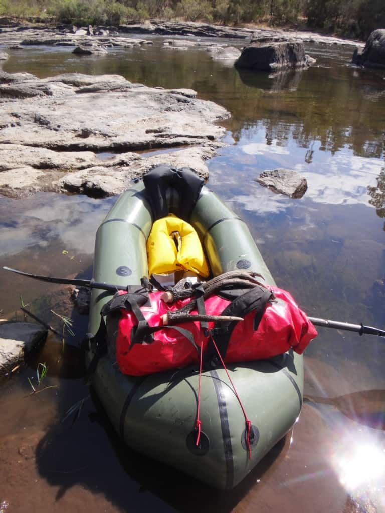
Marvelous Mitchell Day 2

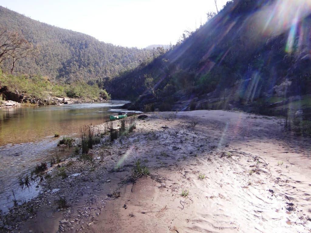
I spent a wonderfully restful night under the huge walnut tree lulled to sleep by the noise of the river rolling past – and surrounded by deer! The walnuts are a great magnet to them. They clearly check them daily to see whether a leaf or a nut has been discarded for their delectation. I […]

Marvelous Mitchell Day 2 Read More »

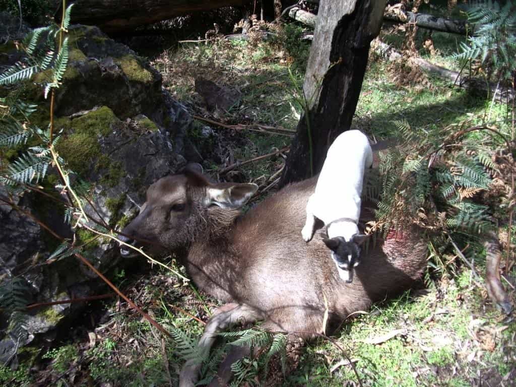
Sambar Deer Stalking #101:

I have hunted sambar deer for over 50 years in the Gippsland mountains (and elsewhere other deer). Mostly I did it because it was fun and an excuse for a day out in the bush which I love. I still prefer lamb, and having been a sheep farmer for just as long, I always had

Sambar Deer Stalking #101: Read More »

Geoscience Australia’s Free 1:250,000 Topo Maps

A complete topographical map of Australia is available free in 1:250,000 scale. This is quite adequate to find your way and prevent your getting lost. You can download the maps, copy them to a storage file on your phone and then open them with PDF Maps Or Avenza – if you want to be restricted

Geoscience Australia’s Free 1:250,000 Topo Maps Read More »

A Magical Day

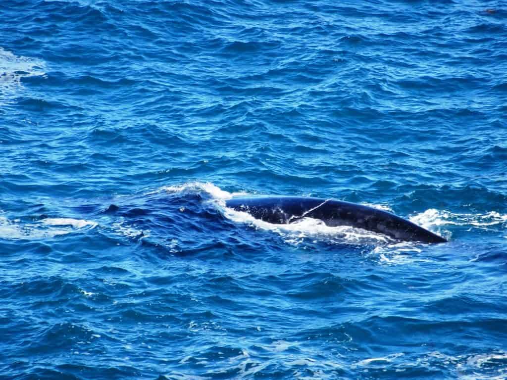
(Della) ‘yesterday revisiting Tongue Point and Fairy Cove at Wilson’s Promontory with friends. The beautiful spring weather, the good company and the 8 km walk were all very pleasant indeed, and we were warmly welcomed by the appearance of some winged luncheon guests at Fairy Cove (not actual fairies) as well as a killer whale

A Magical Day Read More »

Harbingers of Spring at Jeeralang Junction

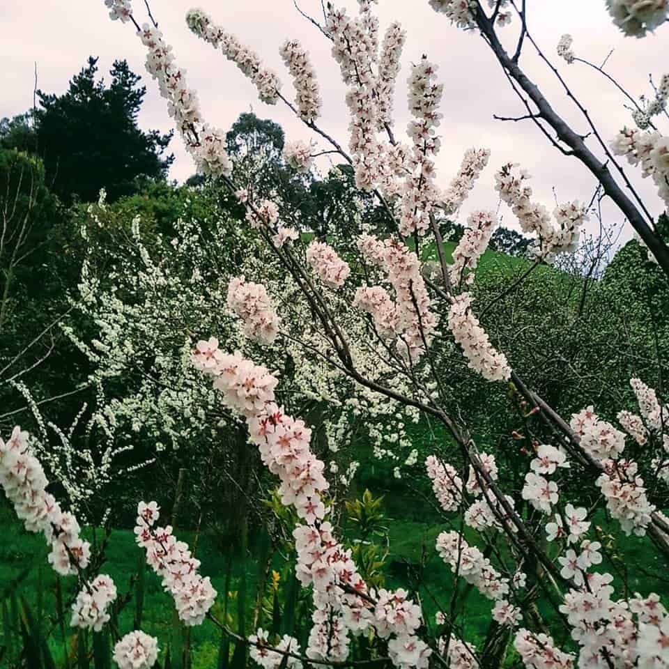
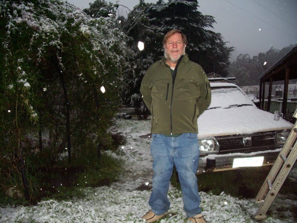
‘Snapped late yesterday as the cold front approached!’ (Della) In other developments the Ring-Tailed Possum I thought a victim to Brer Fox has moved his house from the plum tree (too wet) to a Macadamia behind it: A little later: (Della again) Snapped these at the end of today’s impressive rainfall: Spring is well underway

Harbingers of Spring at Jeeralang Junction Read More »

Upper Yarra Track Map:

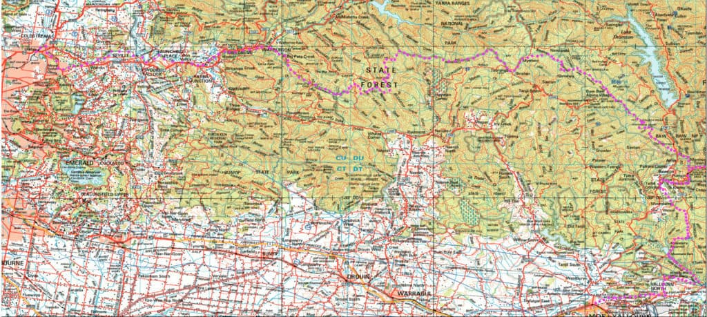
Here is a map showing the whole of the (Extended) Upper Yarra Track from Lilydale all the way to Moe, approximately 250 km and 8-10 days: Australia’s oldest and best long distance hiking track. It could be a better map, but it is better than no map. I have used the 1:250,000 Australian Topo map

Upper Yarra Track Map: Read More »