A hiking trail which ‘circumnavigates Gippsland. This is an idea I have been turning over in my mind for some time. Much of it is already in place, but someone (me?) needs to ‘join the dots’, work out connection, water and resupply points, camping spots, track instructions, times and a map. It will take some time – and may be revised a number of times.

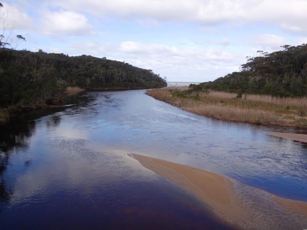
Thurra River Mouth
Gippsland is unquestionable the most beautiful area in Australia (perhaps in the world) and deserves a wider’audience’. This trail will create it. There is an immense amount of work to be done, so it will take me some time (I have not yet finished work on the Upper Yarra Track yet (http://finnsheep.com/THE%20UPPER%20YARRA%20WALKING%20TRACK.htm) – but keep coming back. I will add details over time.
The Alpine Walking Track (Kosciosko to Mt Whitelaw) and Upper Yarra Track (Mt Whitelaw to lilydale) constitute one long leg of the trail. Other ‘bits’ in place include the Bundian Way (Bega to Kosciosko), the Wilderness Coast Walk (Bemm River to Eden), the Bruthen to Orbost Rail Trail, the Traralgon to Maffra Rail trail, The Grand Strzelecki Track, The Great Southern and Tarra Rail Trail (eg Fish Creek to Yarram), the Old Port Walking Track (Port Albert), various hiking circuits in Wilsons Prom (eg Tidal River to Sealers Cove, Sealers Cove to Five Mile Beach? Five Mile Beach to Johnny Souey to Tin Mine Cove, etc), existing beach walks (eg Waratah Bay, Cape Liptrap to Bear Gully, Point Smyth Reserve (Venus Bay) to Cape Liptrap, Screw Creek Walk (Inverloch), Inverloch to Cape Paterson, the Bass Coast Walk (Phillip Island to Wonthaggi), etc.
Clearly the walk will be over 1,000 km long and will take 2-3 months. There will be many resupply points and many (public transport) connection points, so that shorter sections of the track can obviously be undertaken. There will be many places you can find paid accommodation, restaurants etc as well as camping spots. It will take some time to work this all out but you will survive and enjoy even if you just begin tomorrow and carry on following your nose (and a map of Victoria)!
Here are some posts to start you on your way (from Phillip Island):
https://www.theultralighthiker.com/2017/03/12/the-great-gippsland-circuit/
http://www.theultralighthiker.com/rail-trails/
http://www.theultralighthiker.com/george-bass-coastal-walk-2/
http://www.theultralighthiker.com/a-walk-on-the-wild-side/
https://www.theultralighthiker.com/2022/06/13/f-break/
http://www.theultralighthiker.com/venus-bay-no-4-beach-gippsland-victoria/
http://www.theultralighthiker.com/andersons-inlet/
http://www.theultralighthiker.com/liptrap-to-the-five-mile/
http://www.theultralighthiker.com/the-five-mile/
http://www.theultralighthiker.com/liptrap/
https://www.theultralighthiker.com/2018/11/05/liptrap-to-the-five-mile/
http://www.theultralighthiker.com/waratah-bay/
https://www.theultralighthiker.com/2019/02/12/sand-and-sea-training/
http://www.theultralighthiker.com/killer-bees/
http://www.theultralighthiker.com/the-isthmus/
http://www.theultralighthiker.com/on-the-tip-of-the-tongue-2/
http://www.theultralighthiker.com/to-the-lighthouse/
http://www.theultralighthiker.com/glamping-wilsons-prom/
https://www.theultralighthiker.com/2019/10/08/corner-inlet/
http://www.theultralighthiker.com/nooramunga/
http://www.theultralighthiker.com/there-is-simply-nothing-like-an-old-port-walking-trail/
http://www.theultralighthiker.com/sale-common/
http://www.theultralighthiker.com/blond-bay-lake-tyers/
http://www.theultralighthiker.com/blond-bay-roseneath-reserve-hollands-landing/
http://www.theultralighthiker.com/beautiful-east-gippsland/
See Also:

