What a lovely section of track! The high country has so much beauty, so many surprises. Phillack Saddle is a wonderful spot to camp on lawns tended by nature’s gardeners amid the alpine heath. There is beautiful clear water just off the saddle and a lovely stream (below) at Freemans Flat. It will be about 7.5 hours to our car at the Block 10 Road – if we make it!
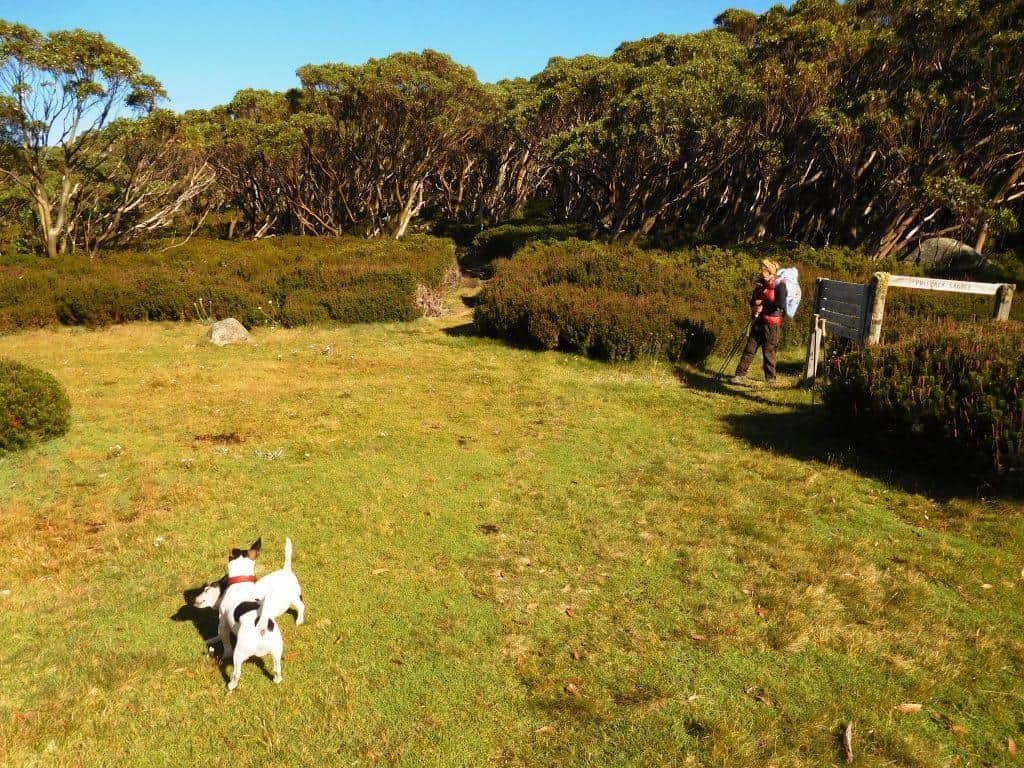
Phillack Saddle
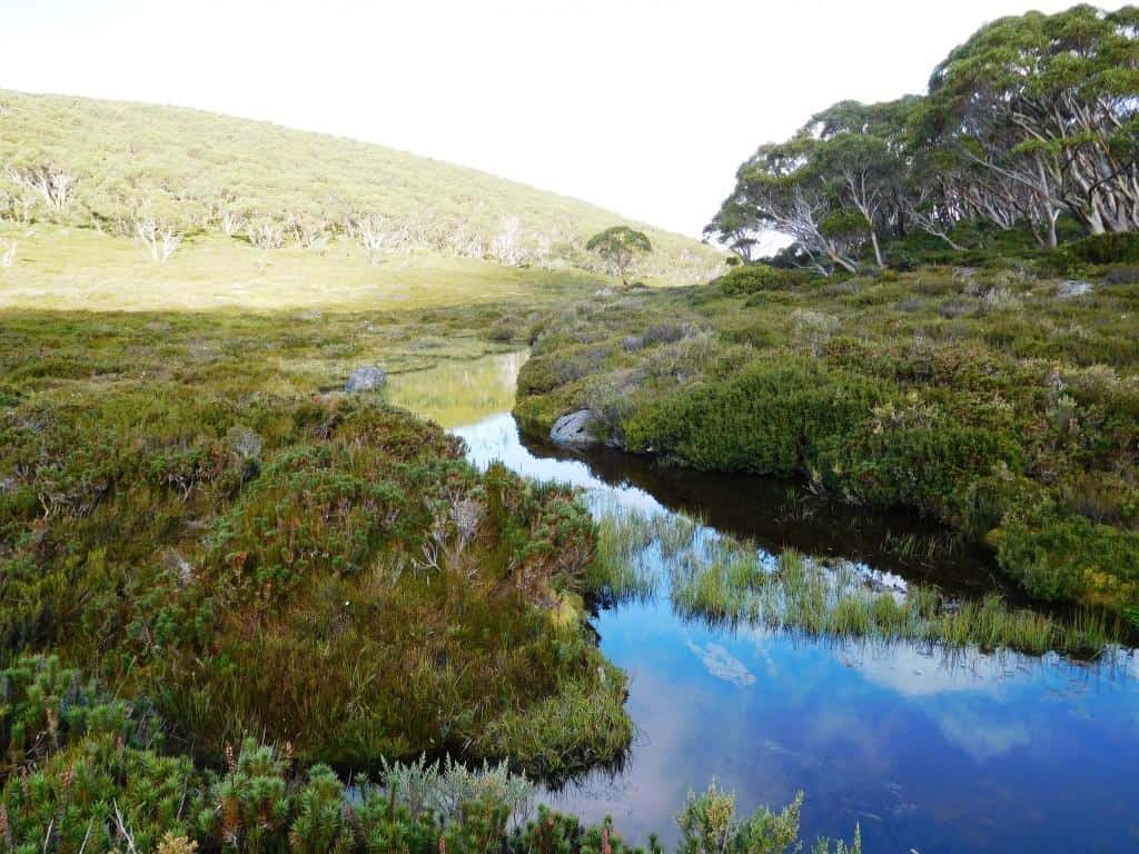
Freemans Flat
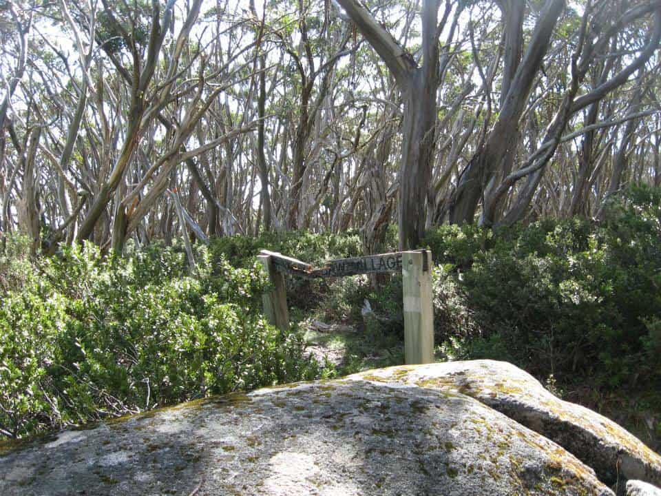
100 yards after Phillack Saddle you come to the new track across to Baw Baw
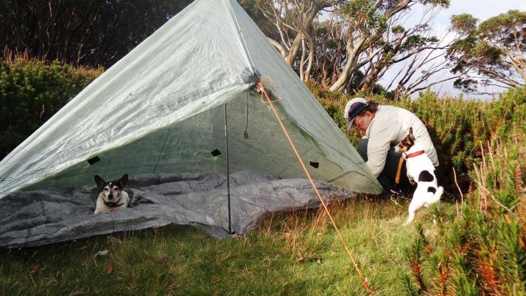
Spot helped put up the Zpacks Solo Plus tent whilst Tiny rested.
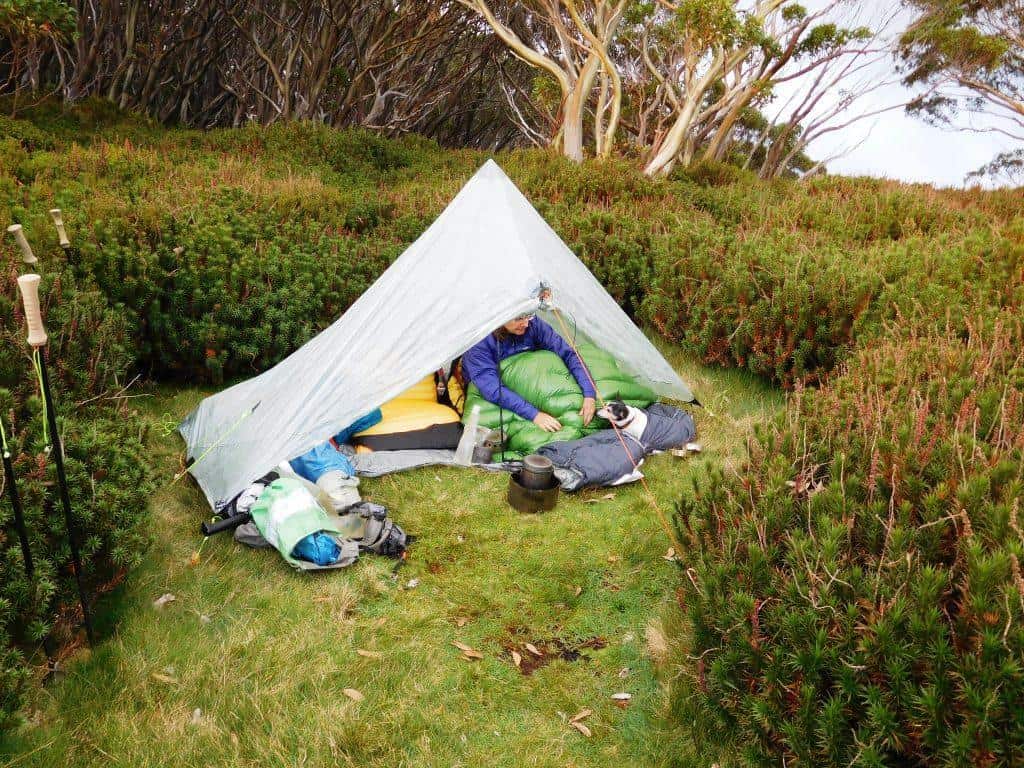
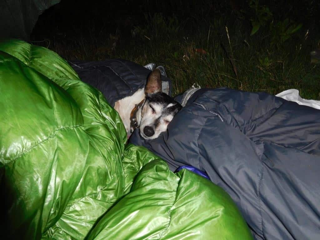
Della and Tiny went to bed early. They are old girls!
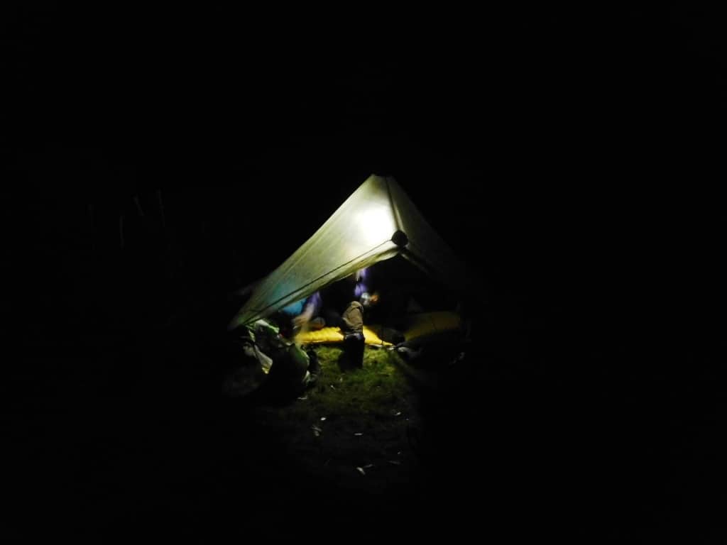
The new Maratac torch makes a great lantern: http://www.theultralighthiker.com/mini-super-torch-a-weeks-light-weighs-50-grams/
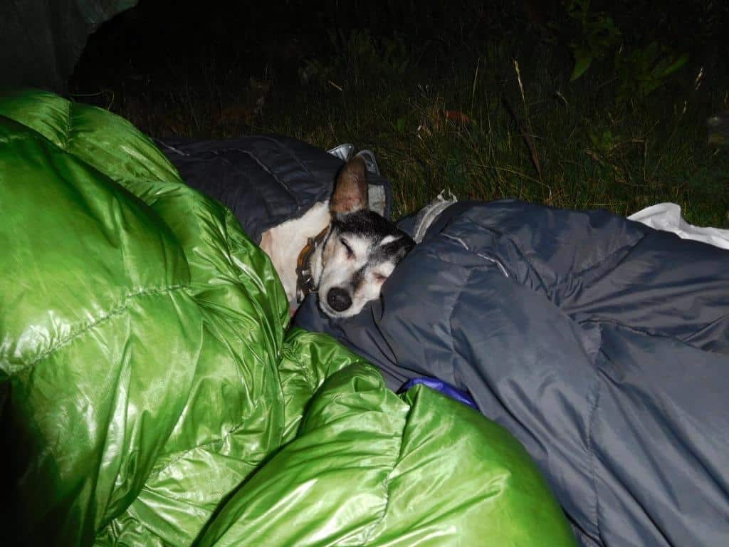
Tiny was tired out. She is 16 1/2.
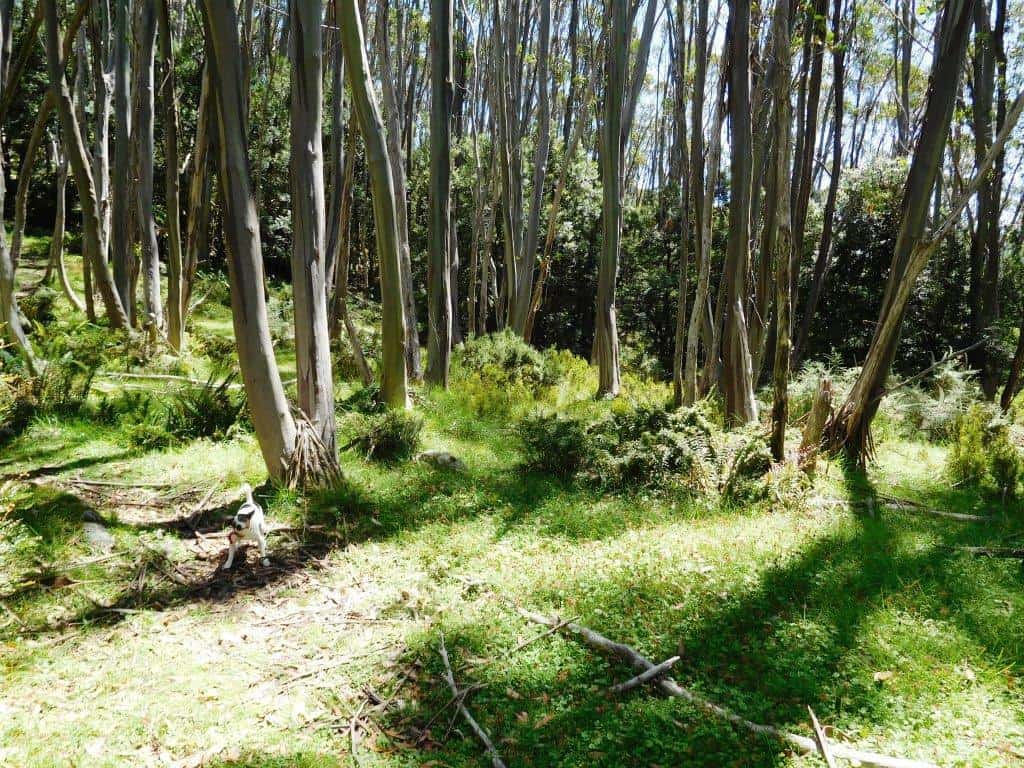
There are other lovely spots to camp along the way but no water until Whitelaws Hut and then .5 km after the Upper Yarra turn-off. After two hours you reach the Whitelaw Hut site (water to the North). Another hour brings you out onto the old forest road up from Newlands which you will follow. Half an hour along it you come to the intersection. It is only @3km down to Newlands Rd but the road is overgrown with seasonal weeds which will slow you down. 1.5-2 hours for this section, then about 2.5 to the Block 10 Road.
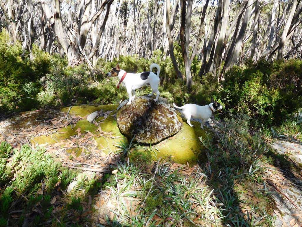
The dogs demonstrate: ‘High Point’.
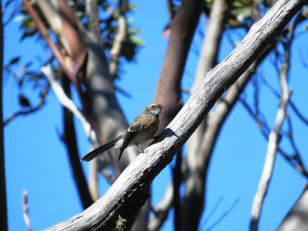
There are many friendly critters along the way: fantail.
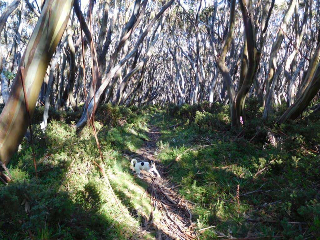 ‘
‘
Hurry Up’ says Spot.
We are always too slow for him. He is only 3!
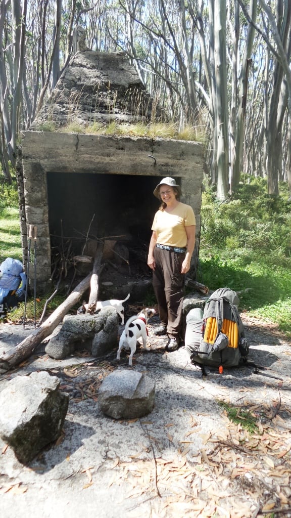
Here we are for lunch at Whitelaws Hut. There are plenty of camps here.
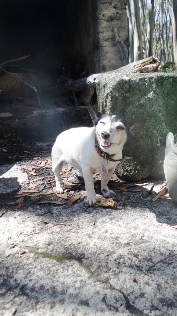
Tiny helped hreself to a muesli bar from my pack when I wasn’t looking. Chewy!
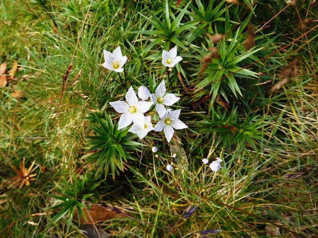
Many beautiful flowers adorn the path.
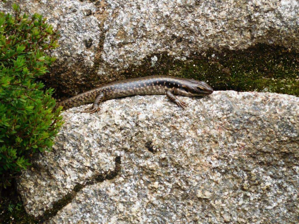
And interesting denizens: this was the fattest skink I have ever seen. Must have been nearly 1″ in diameter but only 6″ long!
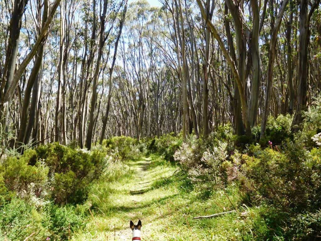
An hour after Whitelaws Hut you hit an old road – which should be kept clear for emergencies and park maintenance in my opinion, but it is neglected.
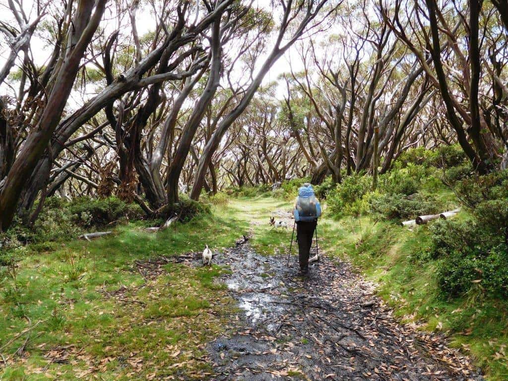
You can easily walk abreast along here.
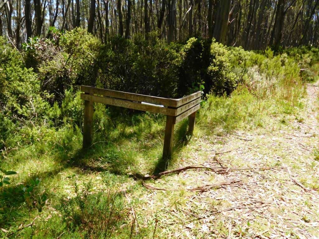
This is the turnoff. Turn downhill, South. Parks have stuffed a hopeless map between the timbers. That is the sum total of their efforts.
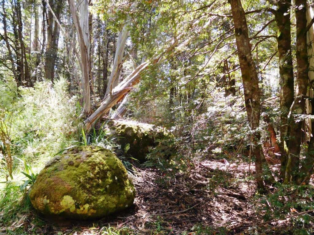
There were many beautiful sites in this section, but as much of it needed slashing, I forgot to take photos.
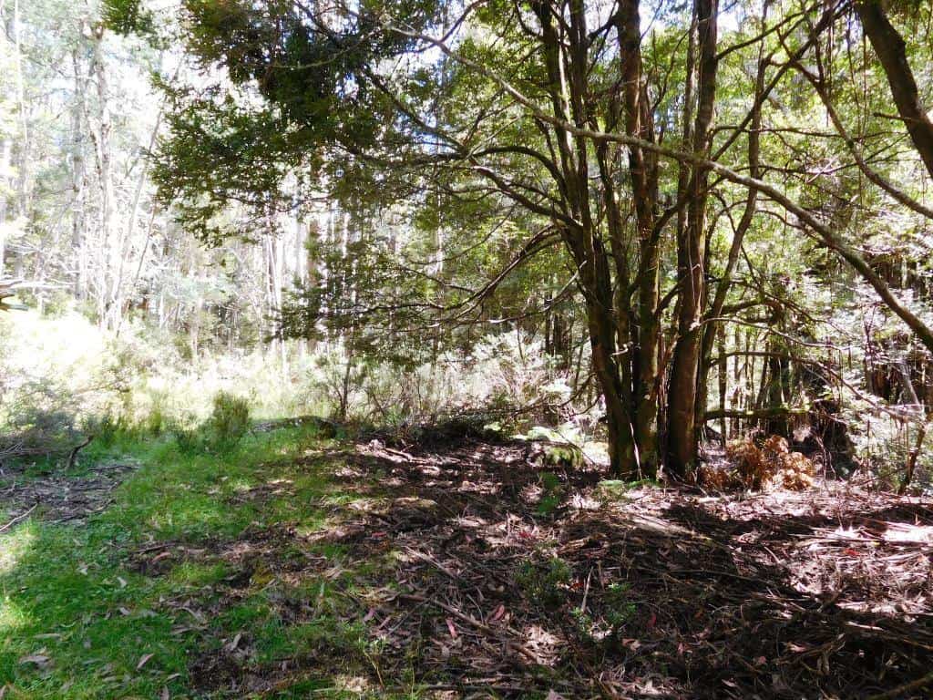
Lots of spots you could camp on the way down to Newlands. There is water as well where you first cross the Thomson – which is 60 cm wide at this point. The road is wide and level.
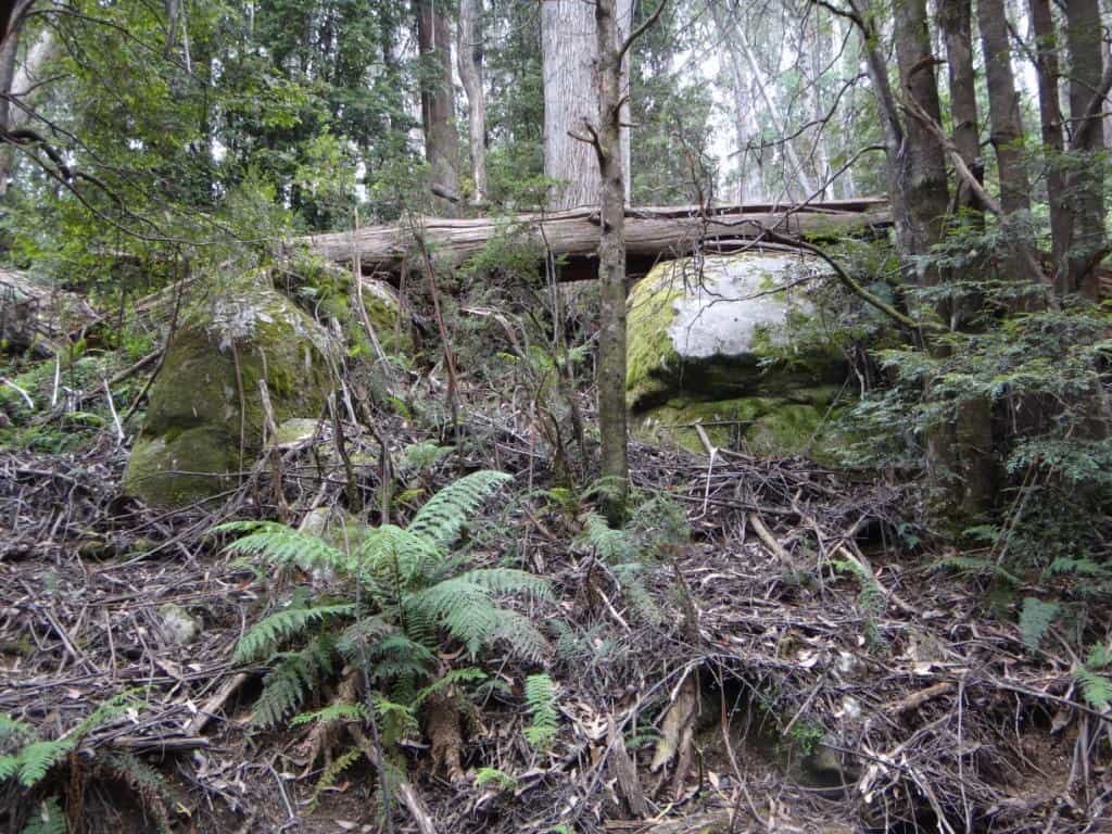
A huge dead tree suddenly crashed down as we passed: There but for fortune…
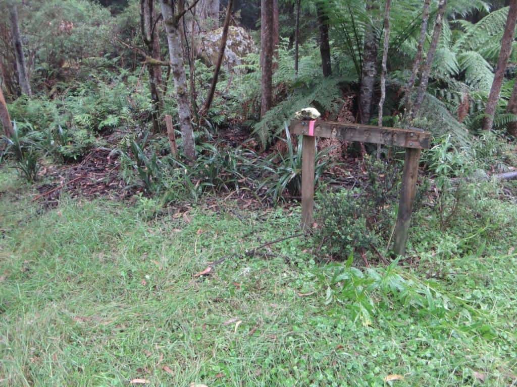
The Frangipani Saddle – and the skull of a hiker our dogs pulled down and ate!
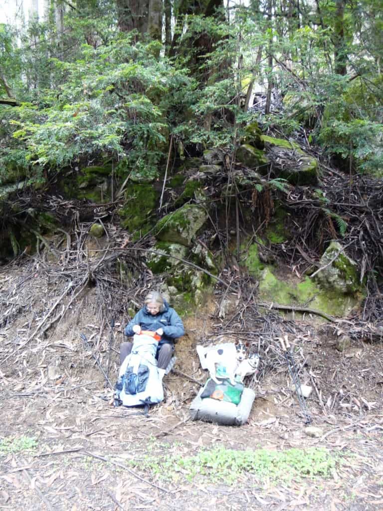
Snack time at Frangipani Saddle.
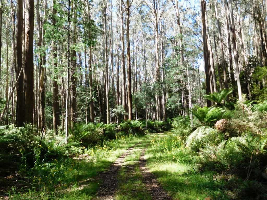
Newlands Rd is the most gorgeous in the whole world!
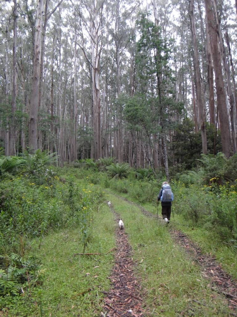
Della striding out once more.
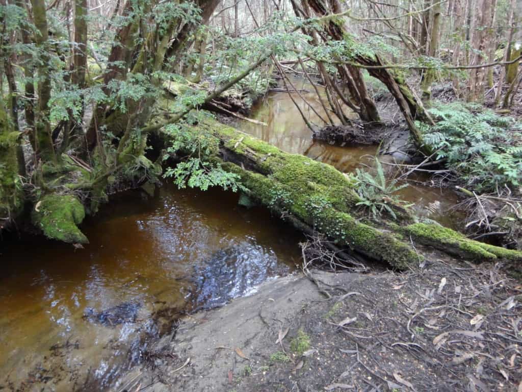
You cross (and parallel) the diminutive Thomson River lots of times. It abounds in trout. There are numerous camping opportunities in Newlands Rd. The last is at the final crossing where there is a fine spot and a sign saying, ‘ No Camping’.
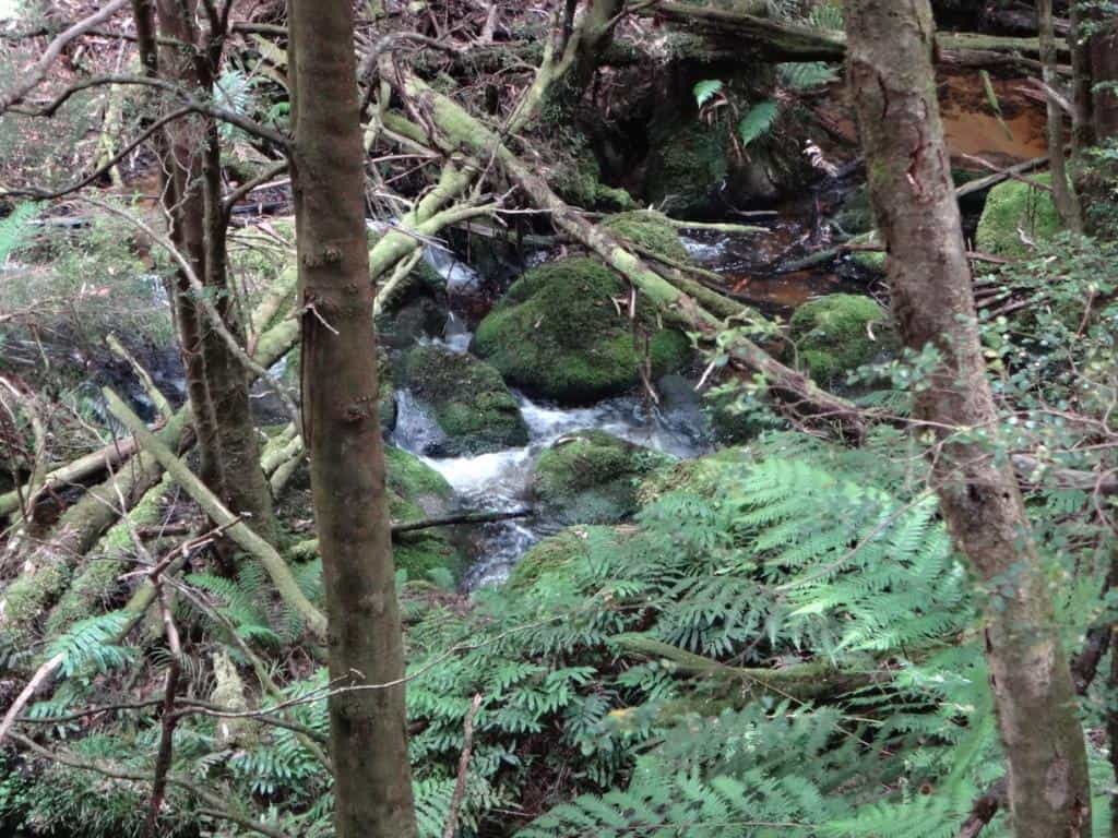
Newlands is just outstandingly beautiful…
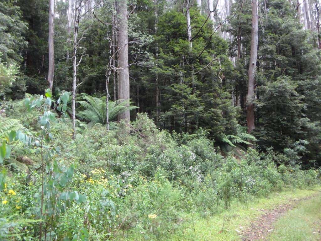
And no cars…
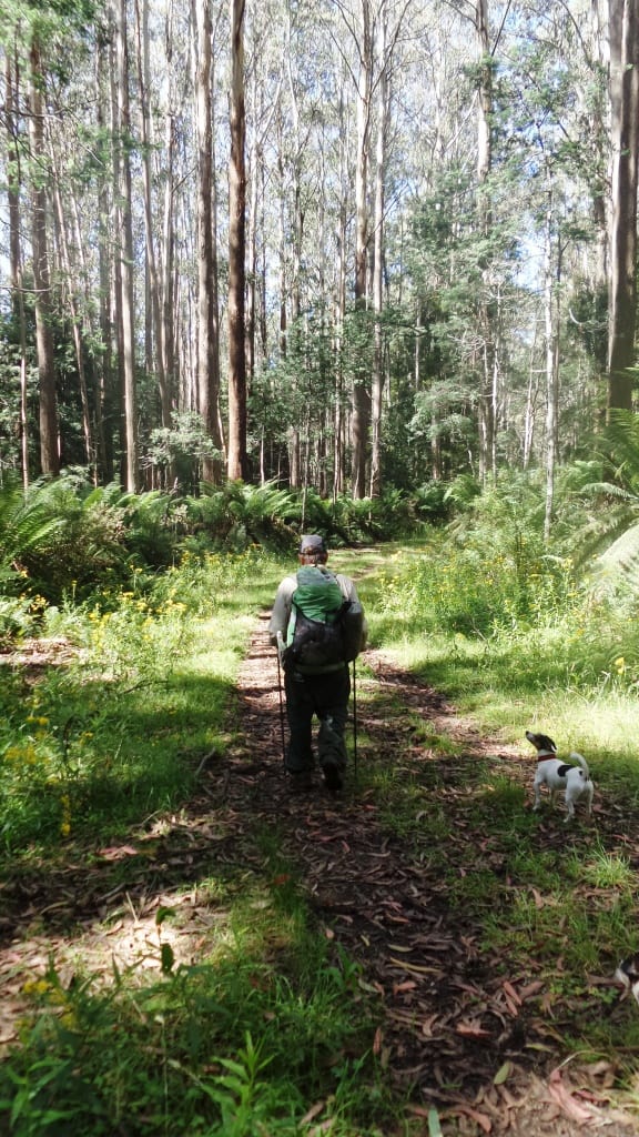
Just the bush, Spot and Tiny, and us.
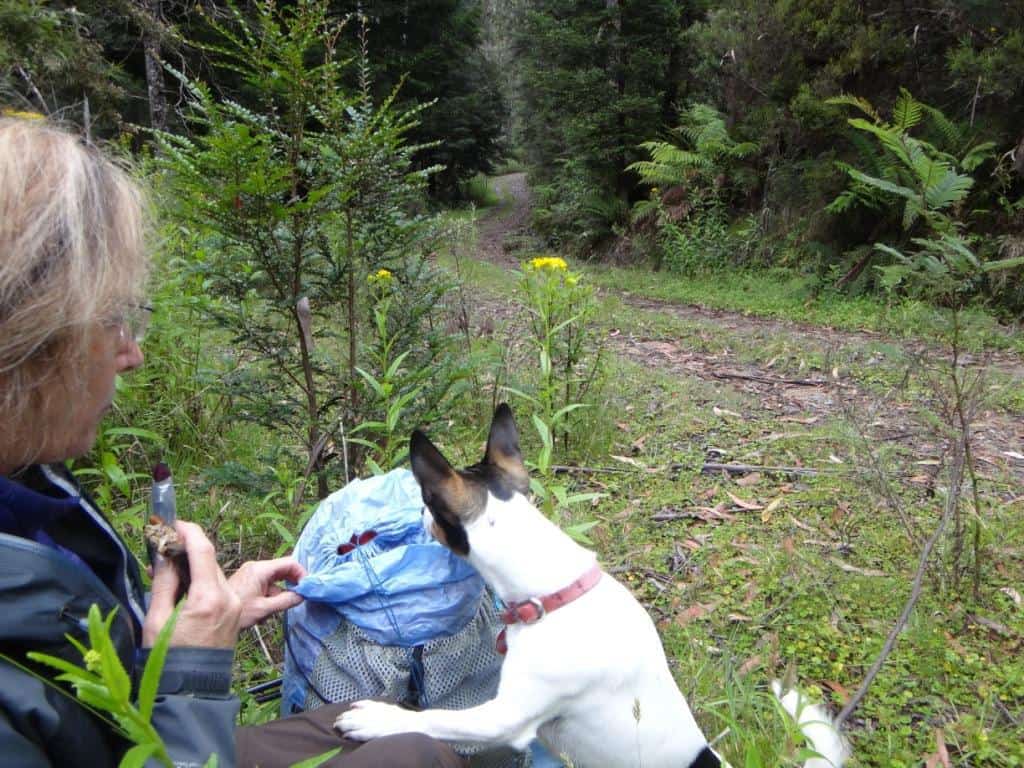
Anything for me, Della? Smackos?
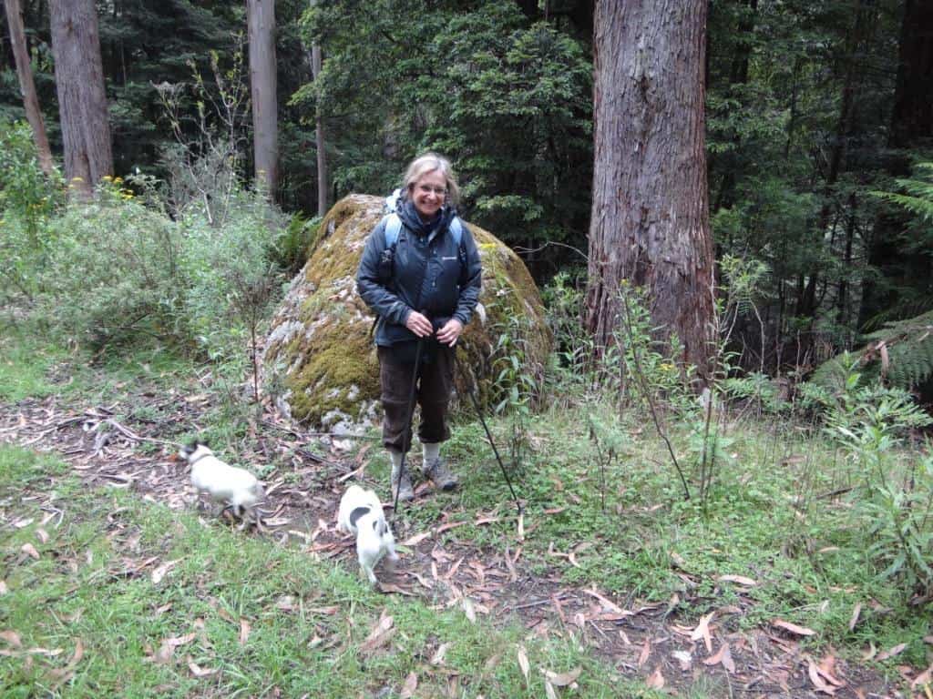
This granite tor had rolled a long way!
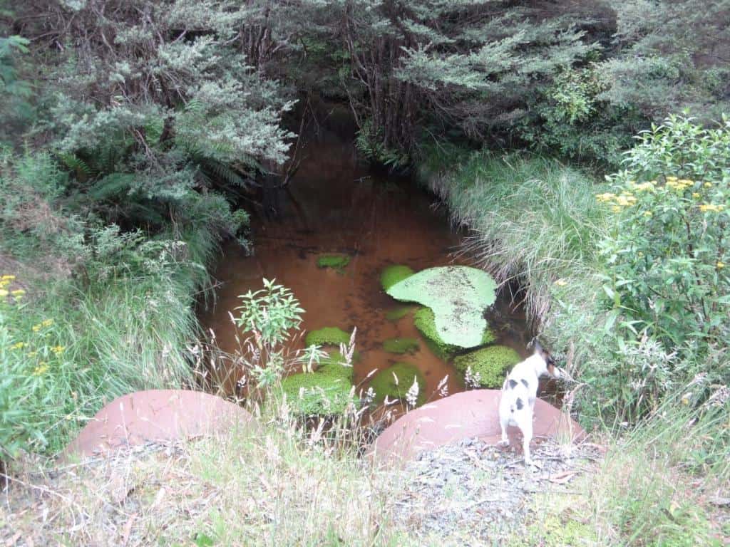
There are bridges so you won’t get your feet wet anywhere from the Mushroom Rocks car park.
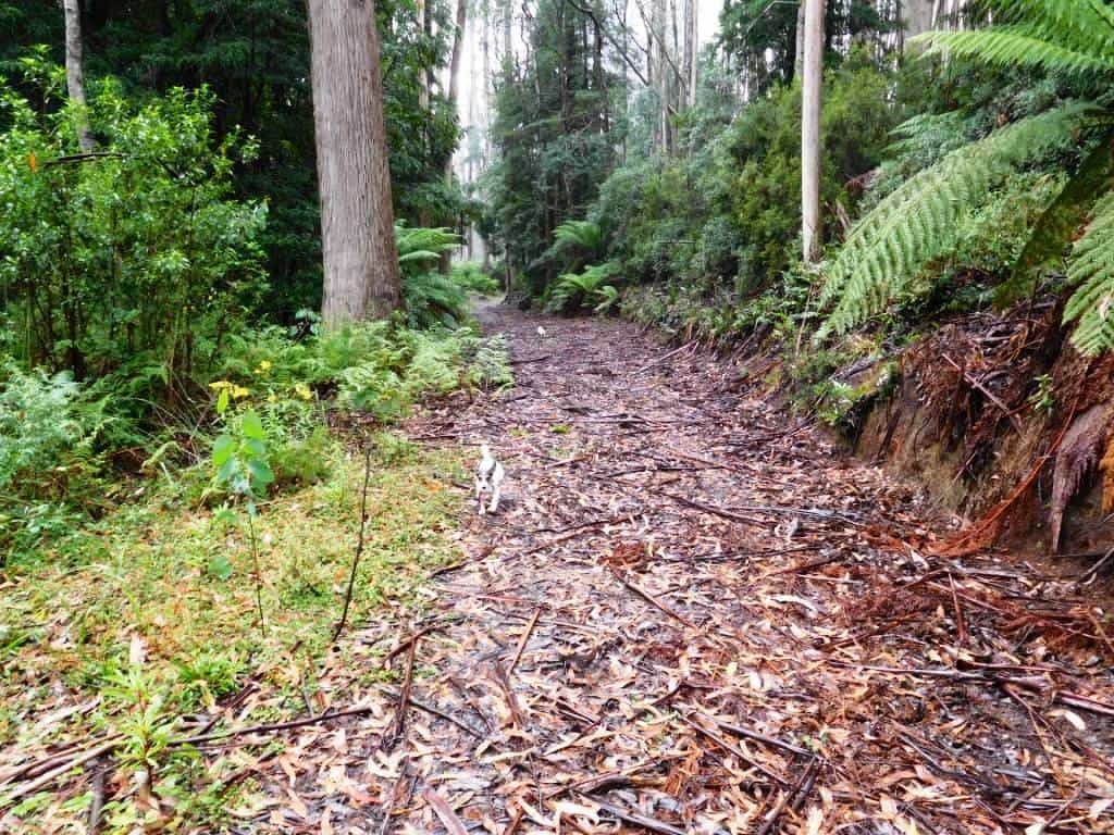
After the last crossing you can take a prominent road to the North.
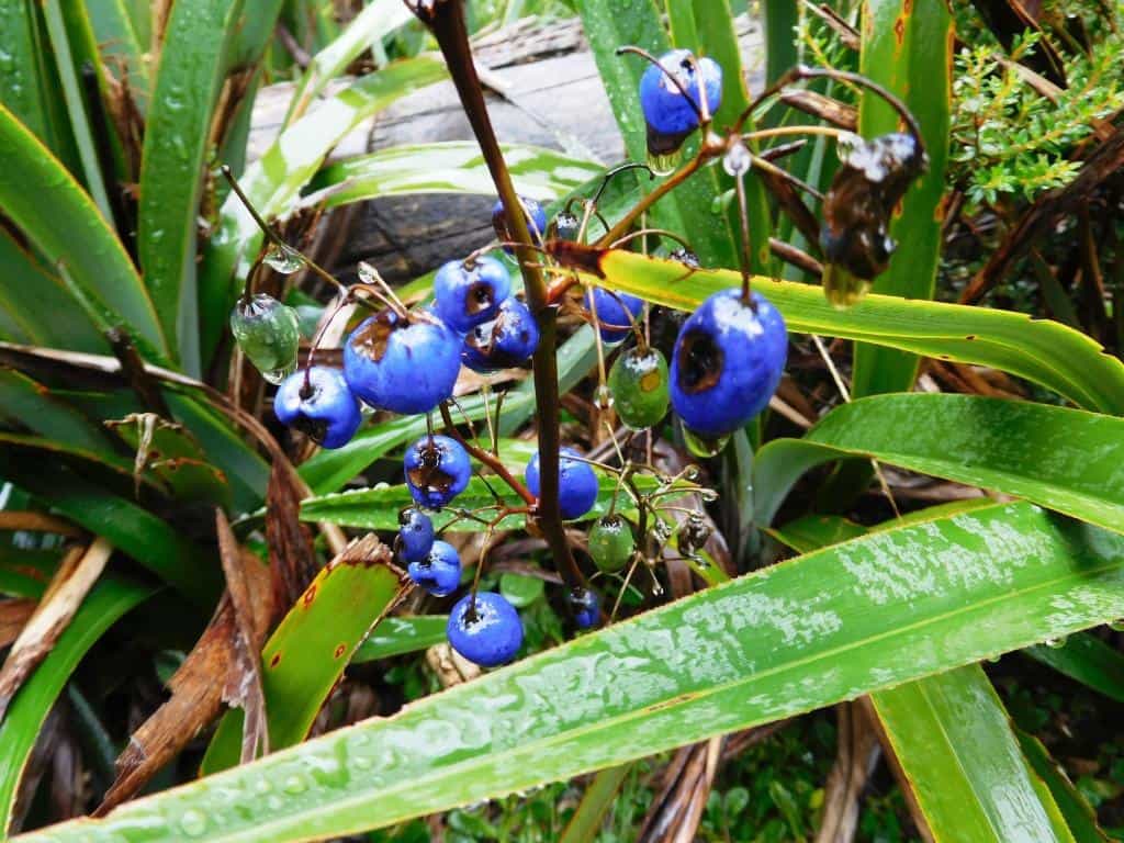
Well something had been eating them. Not me unless I’m sure though.
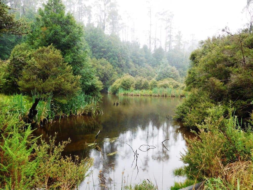
After about half a km there is a pretty little lake full of trout!
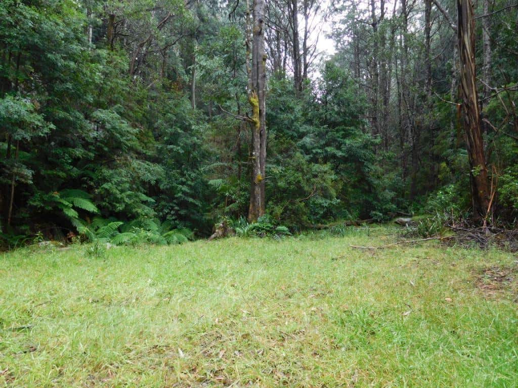
A superb camp site. Nobody around.
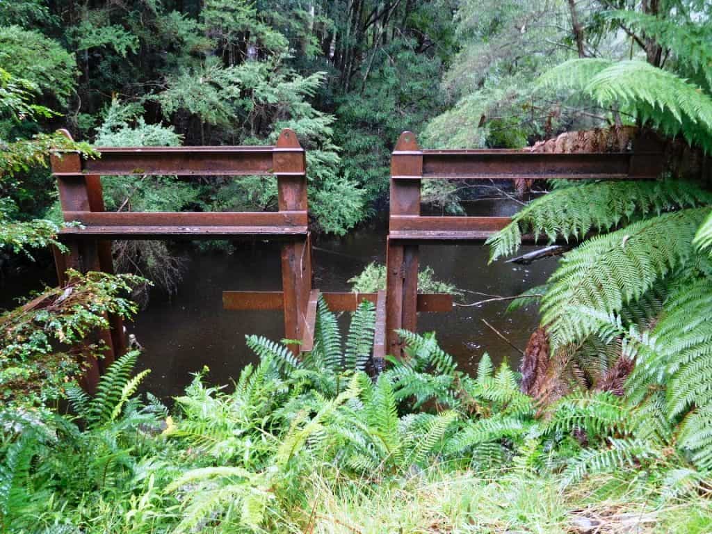
MMBW Control gates.
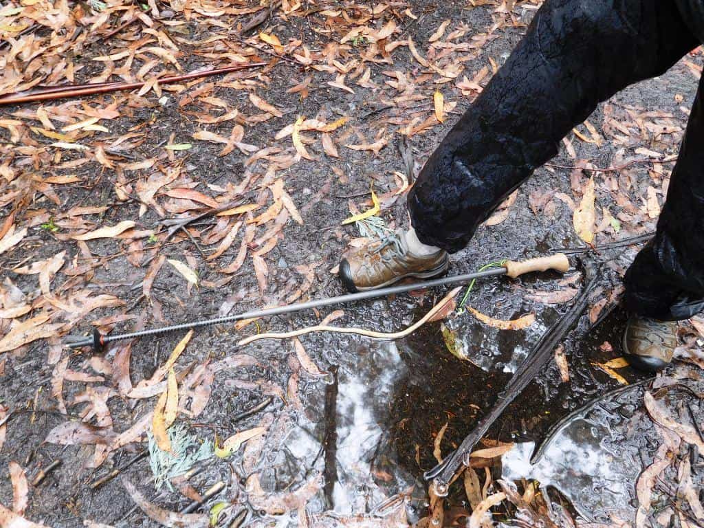
We encountered this giant worm out for a walk!
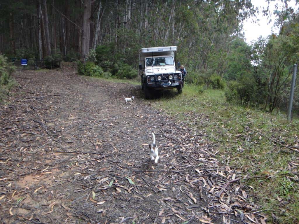
At last, here we are at the Block 10 Road gates. There are a couple of nice spots to camp here, but no water – go back to the lake!
For the section Baw Baw to Phillack Saddle see: http://www.theultralighthiker.com/upper-yarra-track-baw-baw-to-newlands-rd/
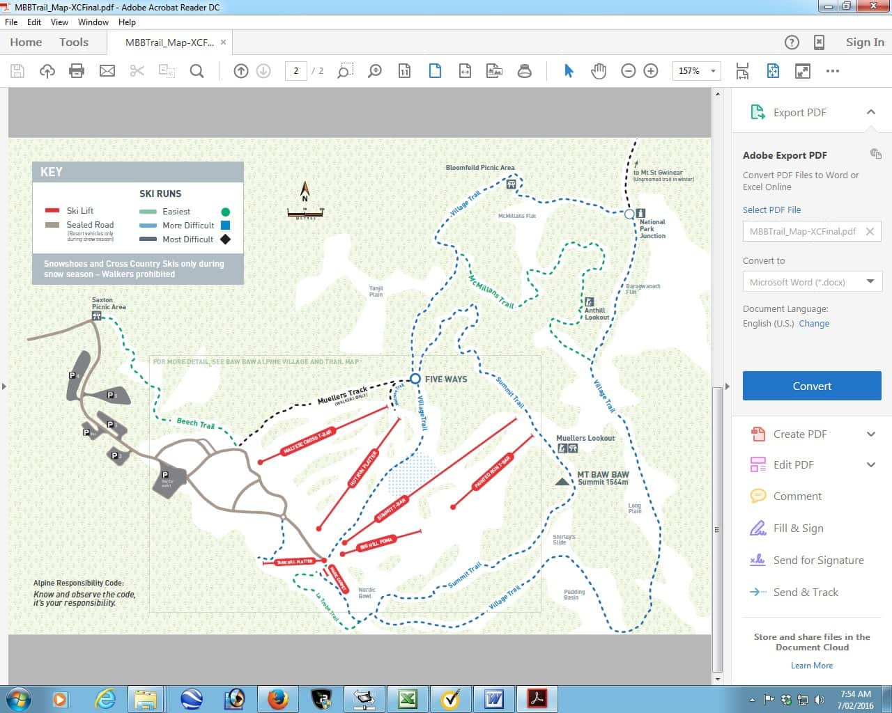
This map may help. You should walk along the Village Trail clockwise. That way you will come to the new track to Phillack Saddle before you come to the old which is wee-nigh impassable – though we managed it. On the new track it is 1-1.5 hours; probably nearer 3 on the old. Be warned!
Telstra NextG mobile phone works most places across the Plateau.
Maps for this section:
Mostly Walhalla North T8122-2-N and part of Noojee North T8122-3-N and Avenza Pdf App.
See also:
http://www.finnsheep.com/THE%20UPPER%20YARRA%20WALKING%20TRACK.htm
http://www.finnsheep.com/Track%20Instructions.htm
http://www.theultralighthiker.com/upper-yarra-track-update-section-one-moe-yallourn-rail-trail/
http://www.theultralighthiker.com/upper-yarra-track-update-section-three-wirilda-to-moondarra/
http://www.theultralighthiker.com/upper-yarra-track-section-four-moondarra-to-erica/
http://www.theultralighthiker.com/upper-yarra-track-ada-tree-to-big-pats-creek/
See also Upper Yarra Track Winter Route:
http://www.theultralighthiker.com/western-tyers-river-great-for-crays/
http://www.theultralighthiker.com/the-western-tyers/
http://www.finnsheep.com/THE%20UPPER%20YARRA%20WALKING%20TRACK.htm
http://www.theultralighthiker.com/upper-yarra-track-update-section-one-moe-yallourn-rail-trail/
http://www.theultralighthiker.com/upper-yarra-track-update-section-three-wirilda-to-moondarra/
http://www.theultralighthiker.com/upper-yarra-track-section-four-moondarra-to-erica/
http://www.theultralighthiker.com/upper-yarra-track-section-five-erica-to-walhalla/
http://www.theultralighthiker.com/upper-yarra-track-st-gwinear-track-junction-to-whitelaws-hut/
http://www.theultralighthiker.com/upper-yarra-track-summary-cumulative-distancestimes/
http://www.theultralighthiker.com/upper-yarra-track-osheas-mill/
http://www.theultralighthiker.com/a-beautiful-world/
http://www.theultralighthiker.com/upper-yarra-track-winter-route-caringal-scout-camp-tyers-junction/
http://www.theultralighthiker.com/upper-yarra-track-winter-route-western-tyers-to-tanjil-bren/
http://www.theultralighthiker.com/kirchubel-if-you-go-nowhere-else-in-the-world-at-least-go-here/
http://www.theultralighthiker.com/upper-yarra-track-winter-route-downey-to-newlands/

