What a wonderful ruin – like something from Ozymandias. Construction of this weir at the junction of the Mitchell and Stoney creek commenced in 1881 but the weir was destroyed by floods in 1893 soon after completion and has never been repaired. Two other attempts to dam the river at Billy Goat Bend and Tabberabbera both came to nothing so that the river remains the last great ‘free’ river in Victoria. In winter it is common for enough water to be flowing down it to fill one of Melbourne’s large catchment dams in a single day, so that a weir like this much higher up such as the one at Swinglers on the Thomson would guarantee Melbourne fresh water for a long while to come. Mind you I am not sorry that it runs free. Dams in Tasmania already built could just as easily supply Melbourne via a pipeline across Bass Strait.
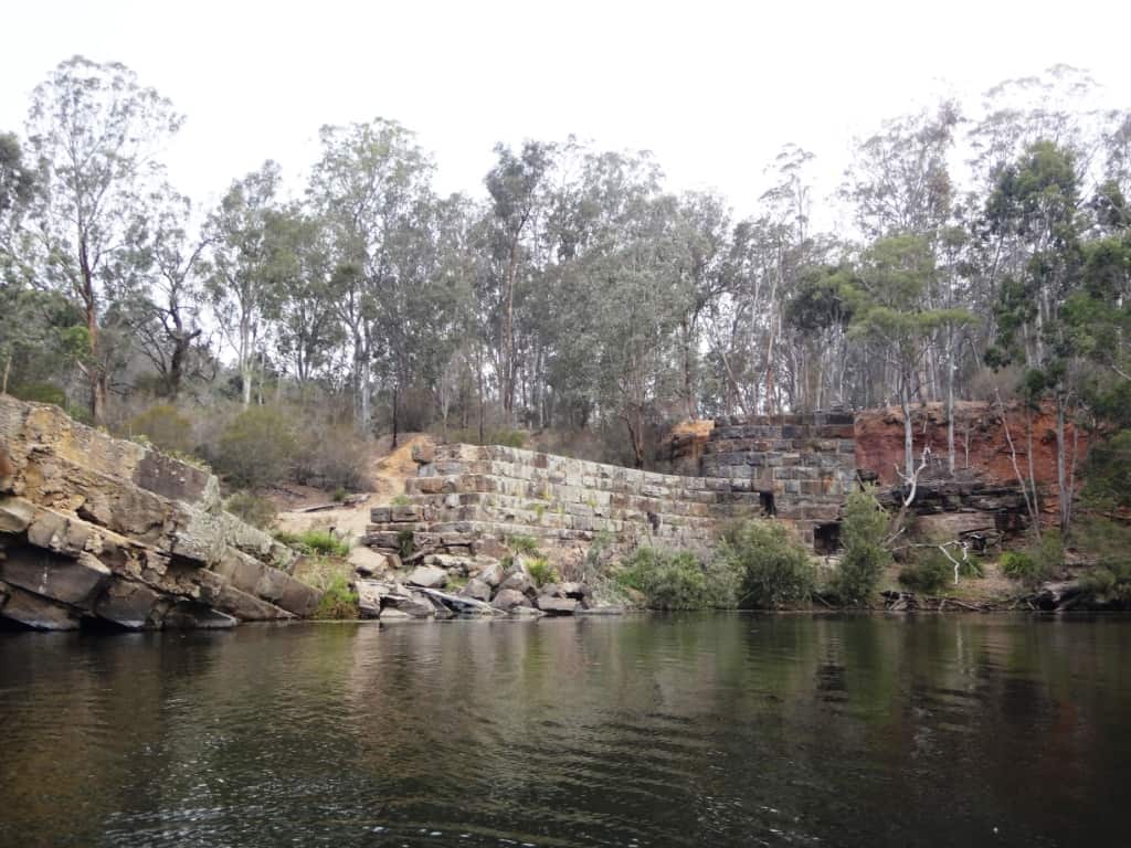
I’m afraid I just kept snapping away at it.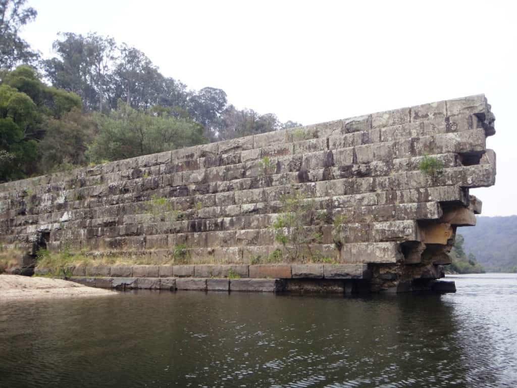
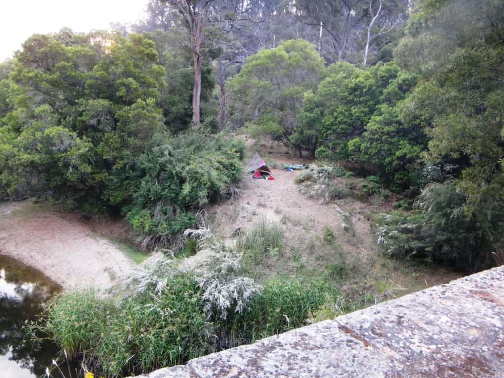
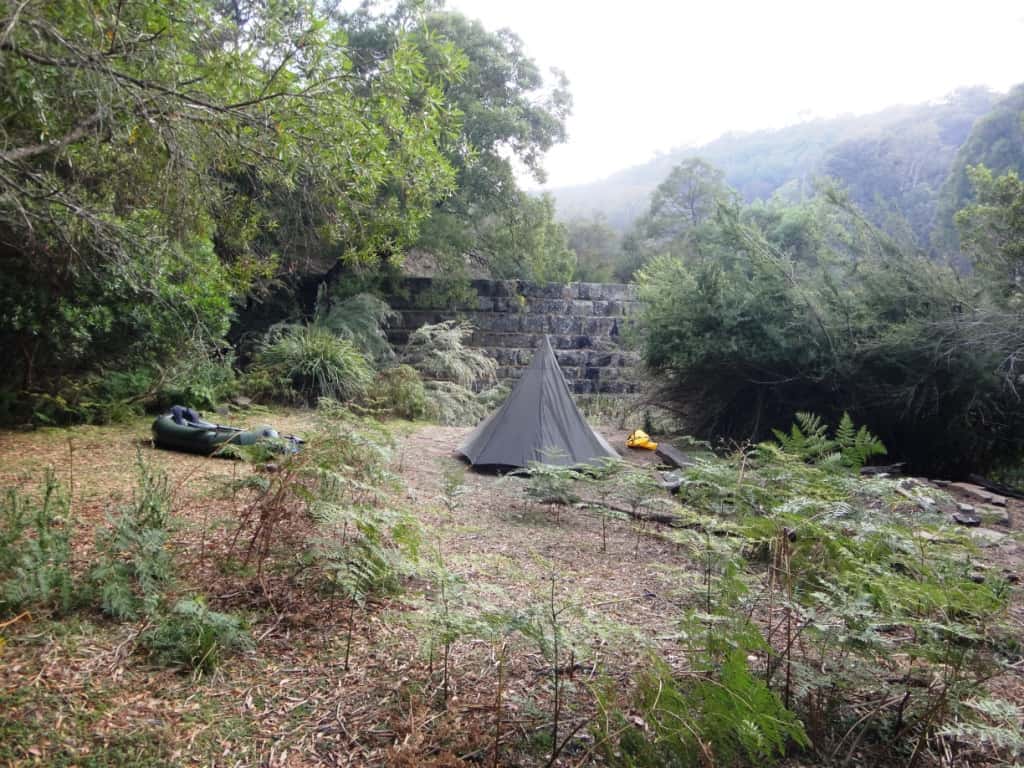
And camped right in the shelter of it overlooking a swallow-filled billabong.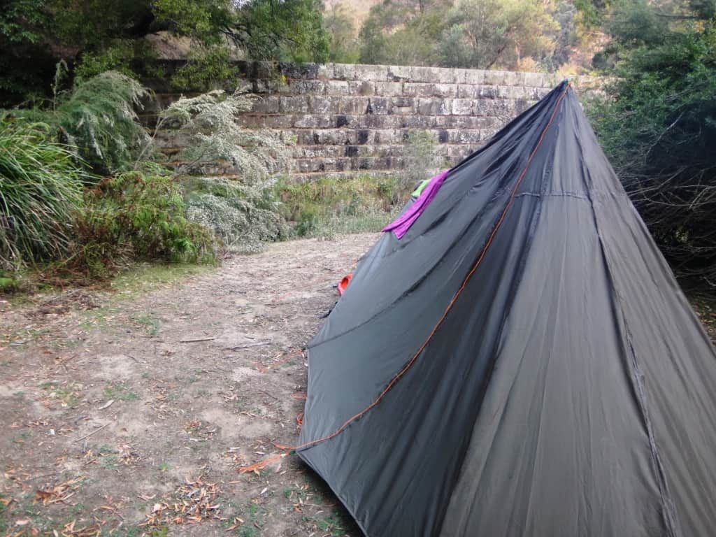
Here the jungle seeks to reclaim it like Angkor Wat.
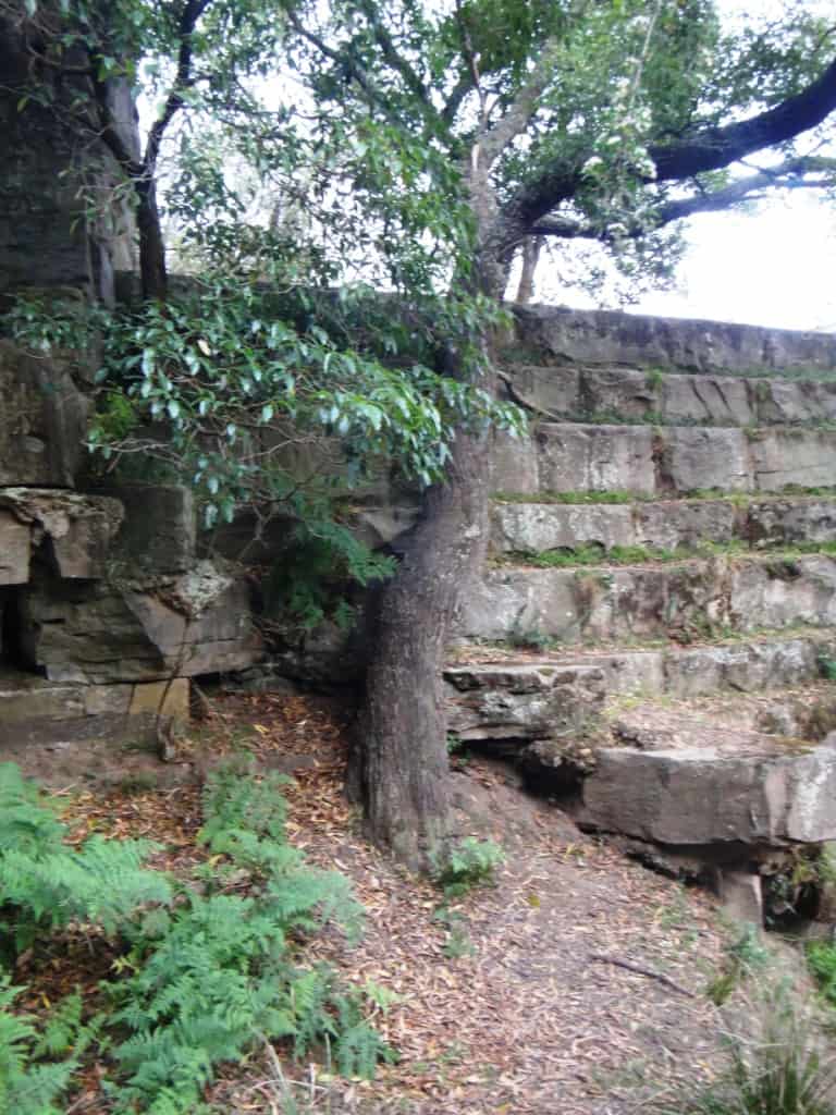
This Banyalla is growing right out of the wall.
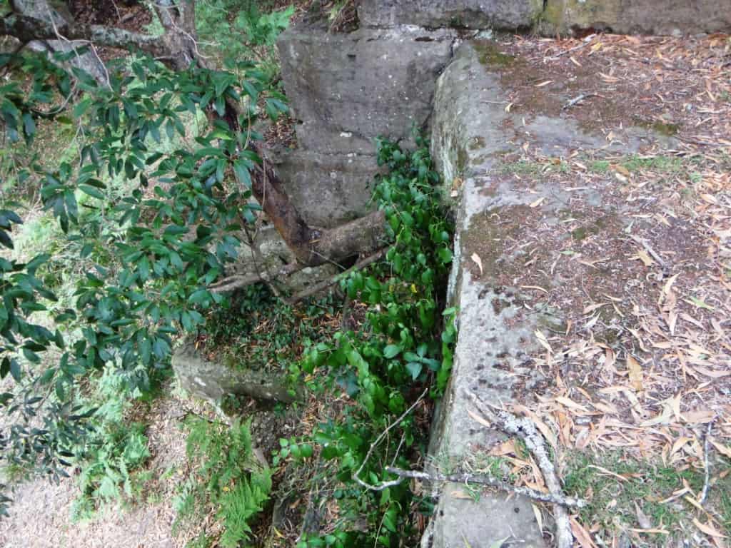
And these two seem to have it surrounded.
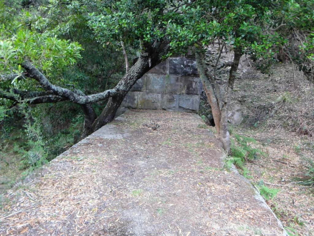
You can walk right out along the top.
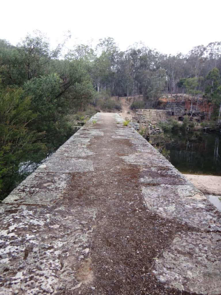
What a huge pool it still is above the weir. it would have provided very good water for the Lindenow Flats.
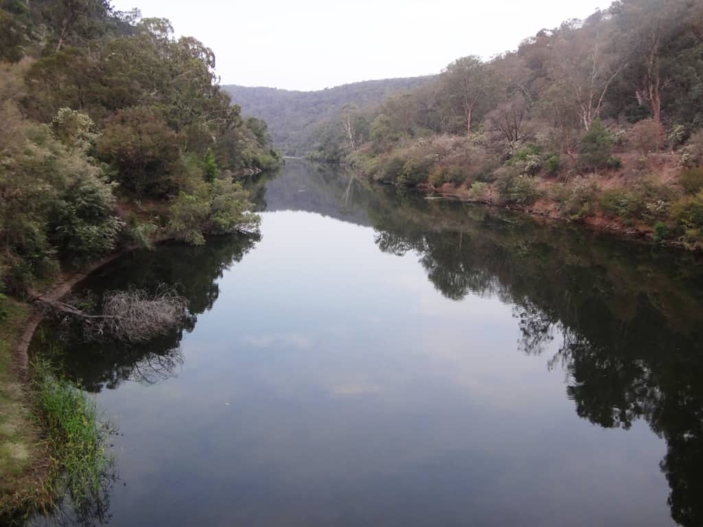
The Stoney Creek on the left of the photo was clearly used as a diversion while they built the weir.
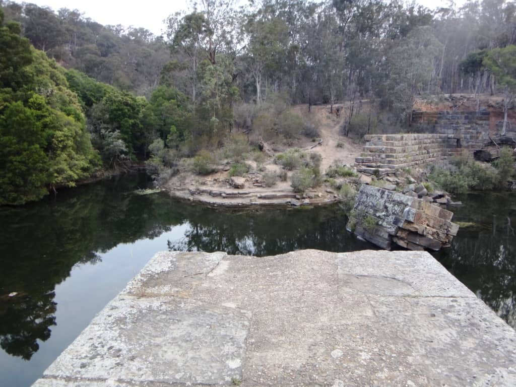
The stones from the weir lie scattered below it making a very complex rapid.
My camp is quite dwarfed by the weir.
It was lovely to wake in the morning to this enchanting view.
The weir’s stones have been worn quite smooth by a century of rushing water.
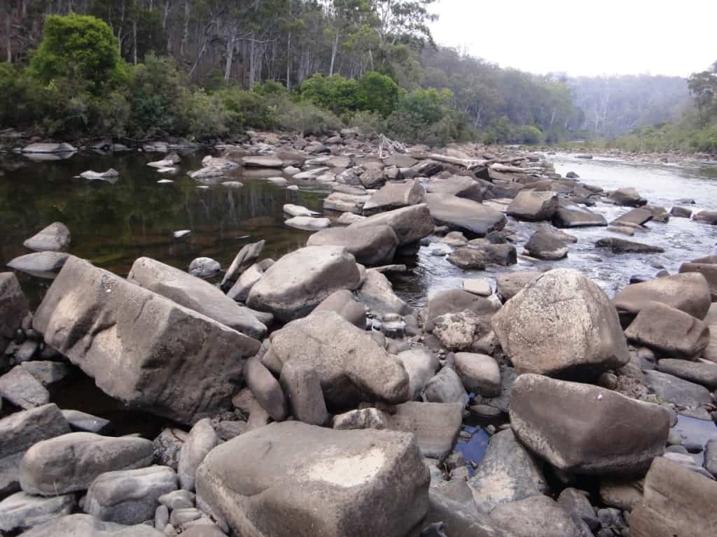
Next to last view.
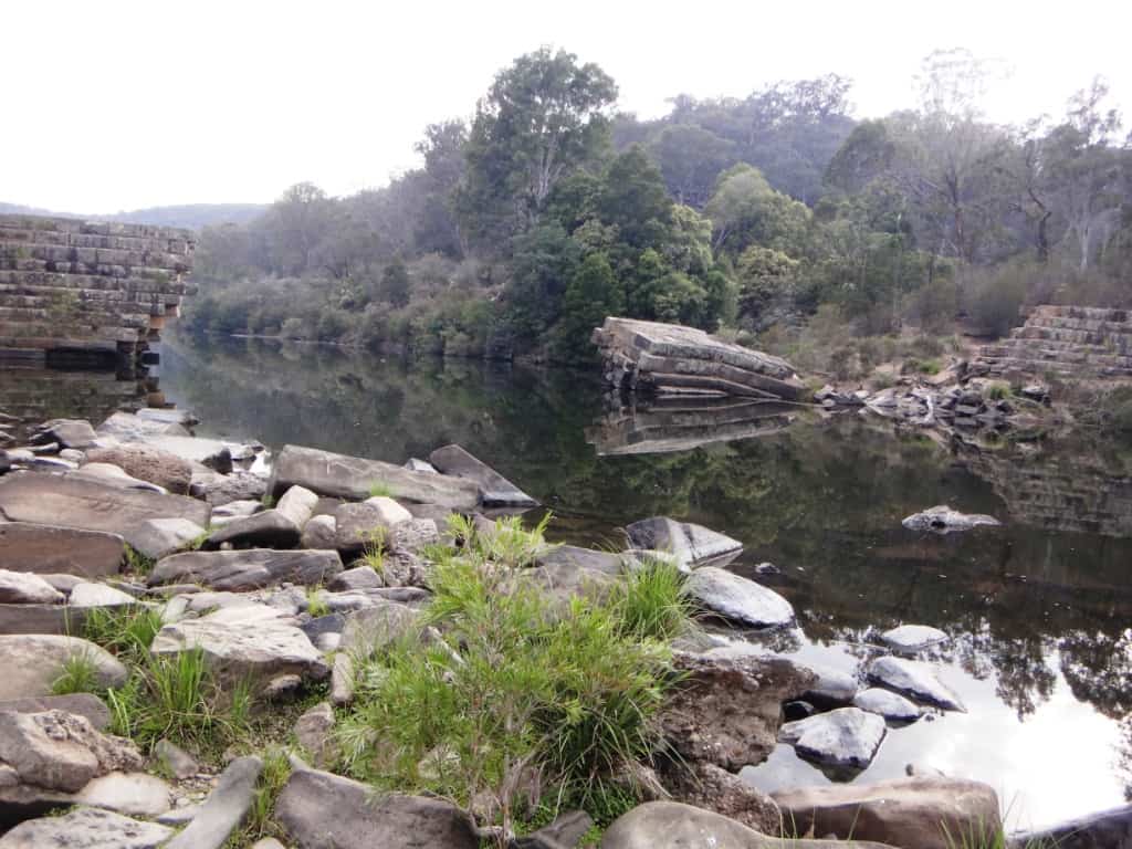
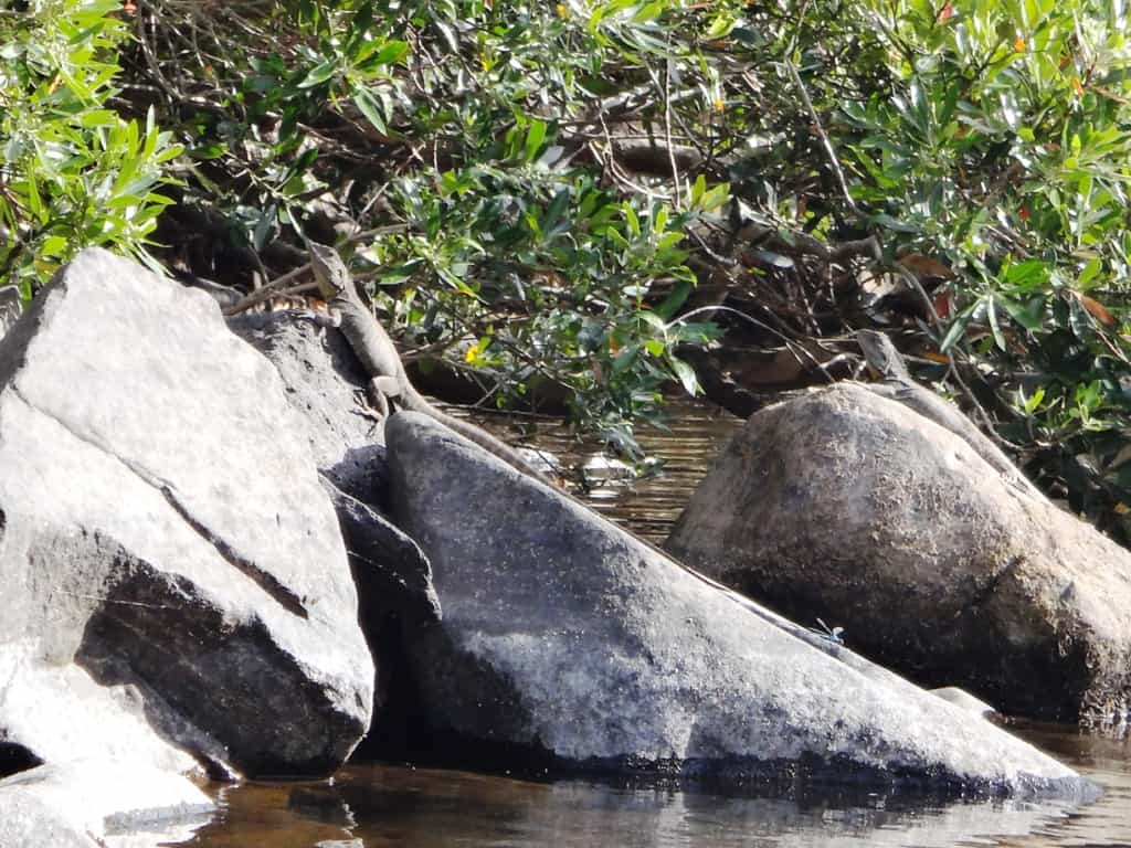
A dragon watches me pass.
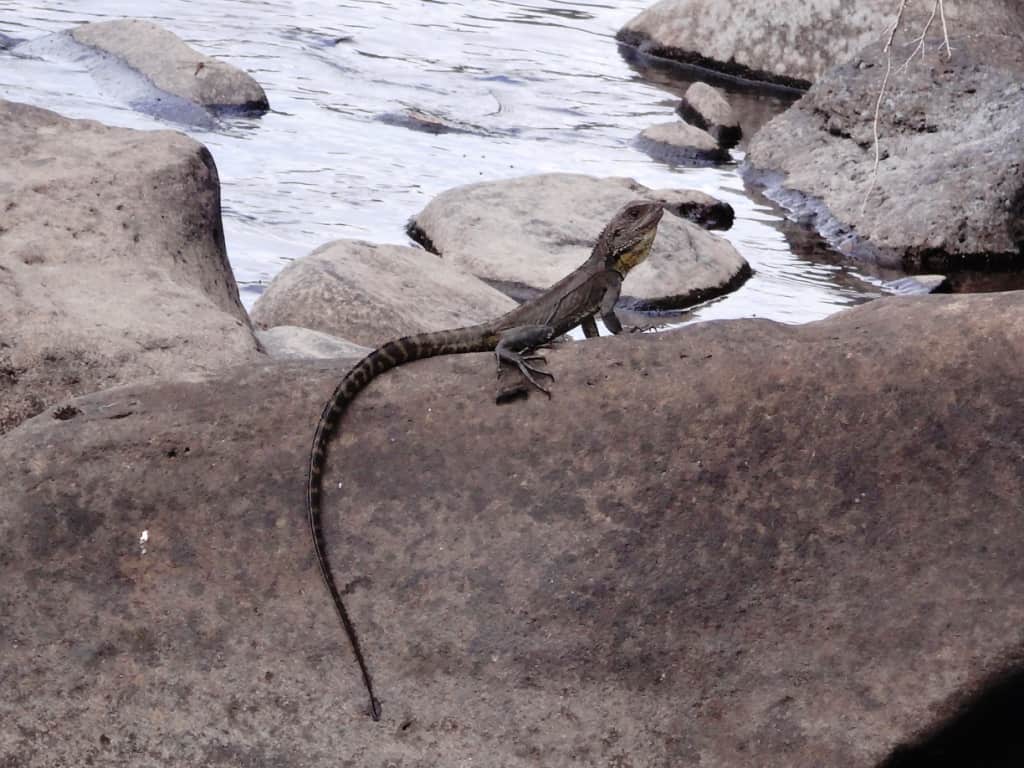
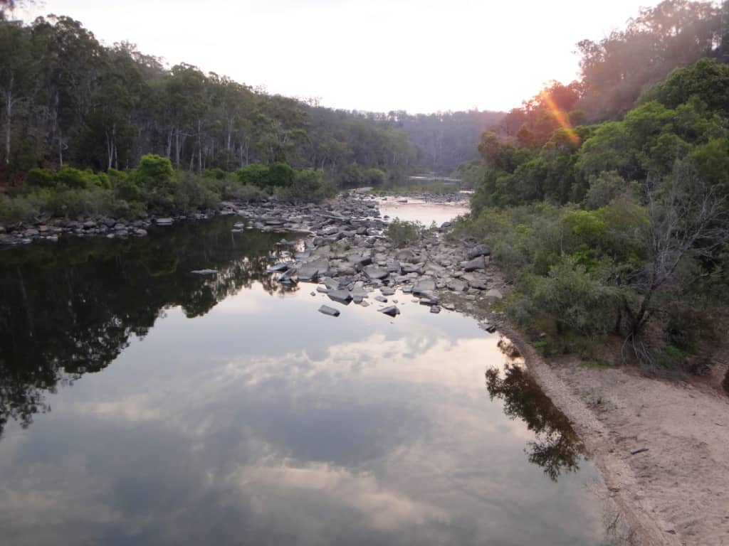
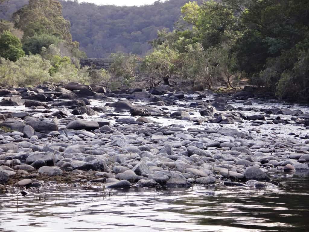
The very last view of the weir as I head downriver on mostly flat water.
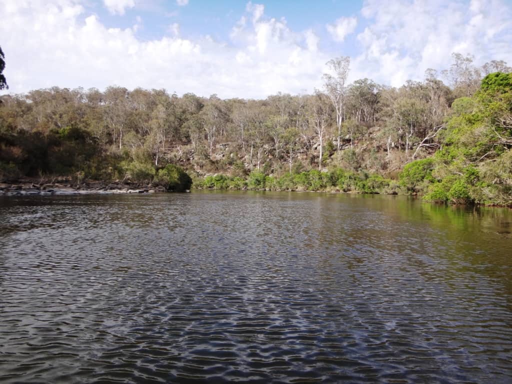
Two dragons.
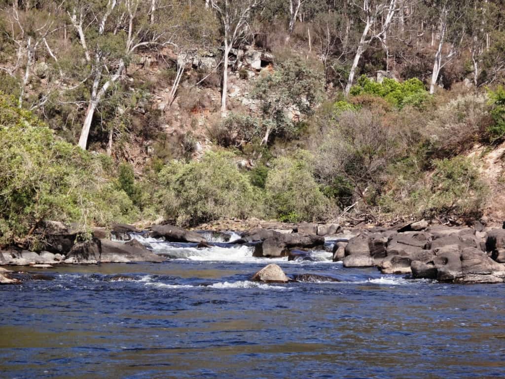
But there are still a few difficult rapids.
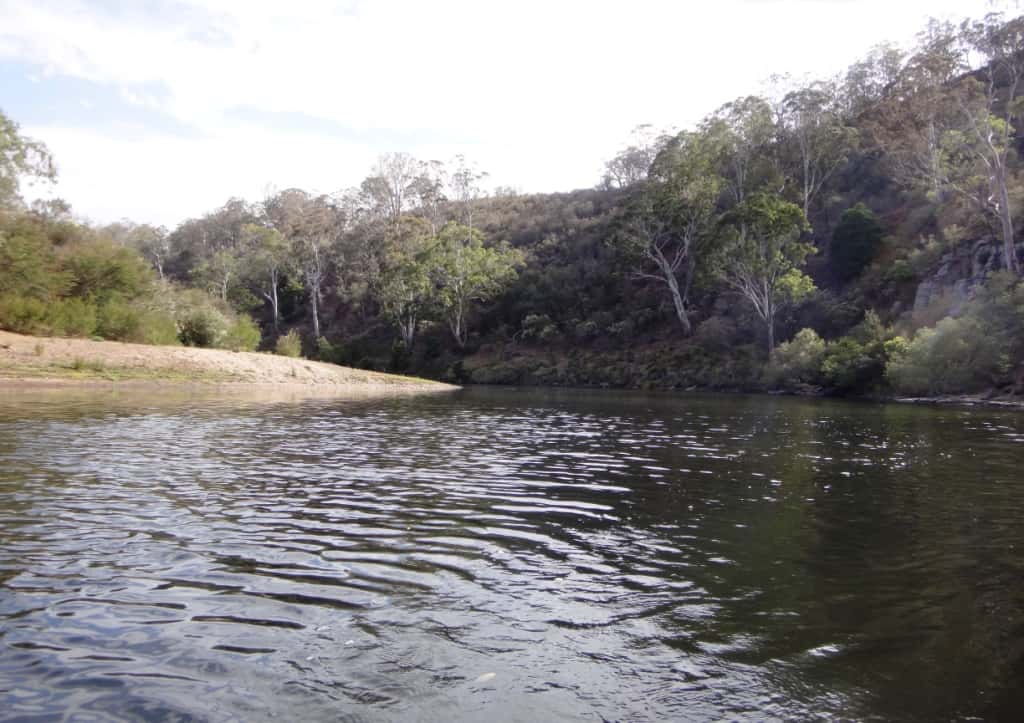
But only 1-2 spots to camp below the weir.
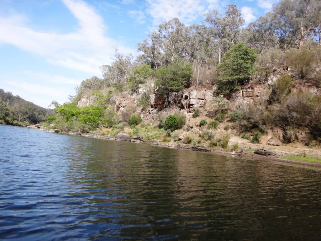
One of the last siltstne cliffs is riddled with caves.
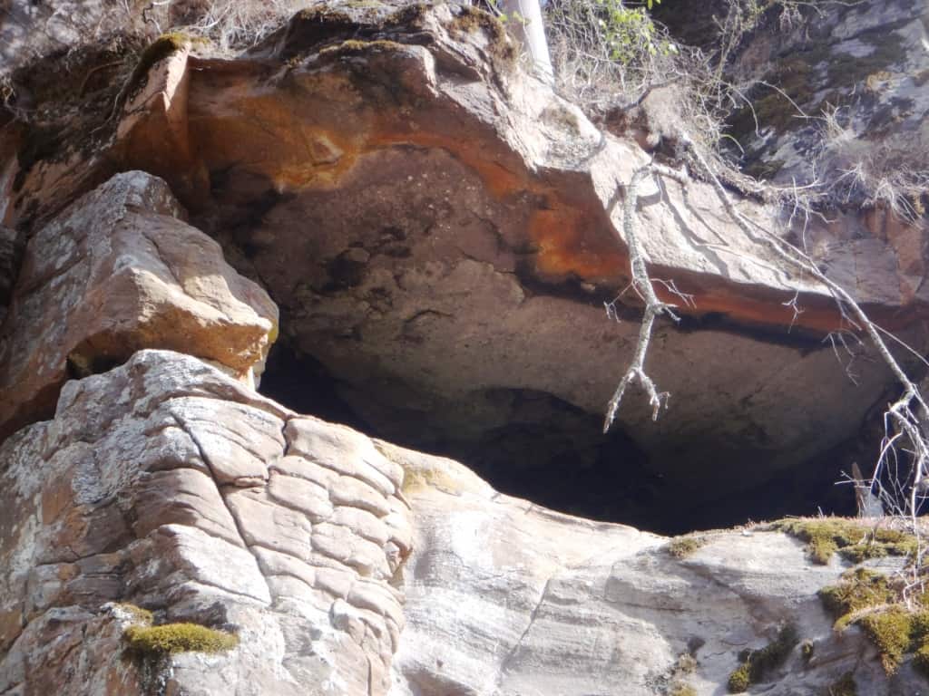
These look as if they contain ancient rock art.
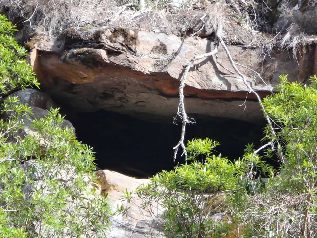
But it is an optical illusion. They would have long since washed away.
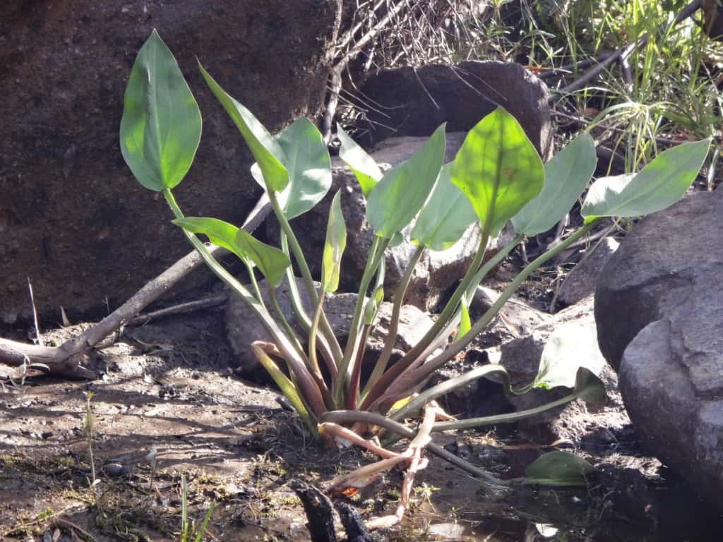
A beautiful noxious weed?
The first glimpse of ‘civilisation’.
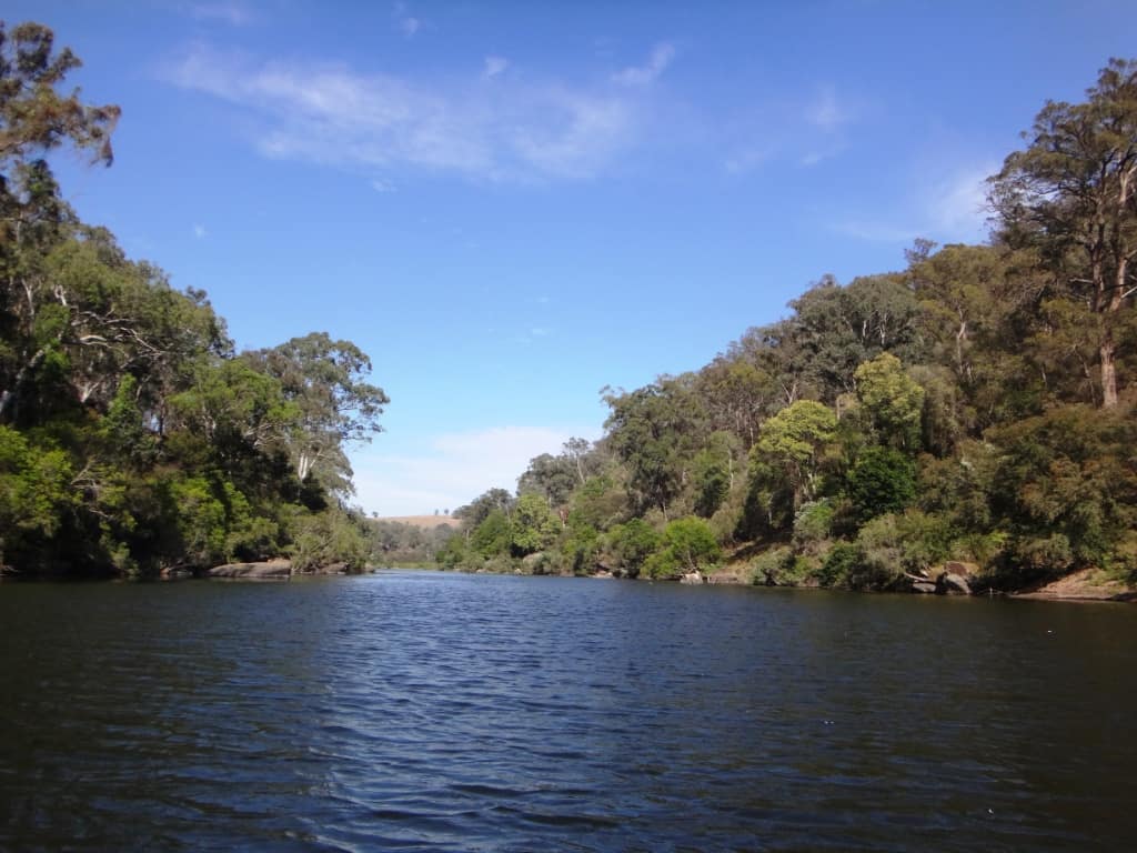
But still a couple of tricky rock gardens.
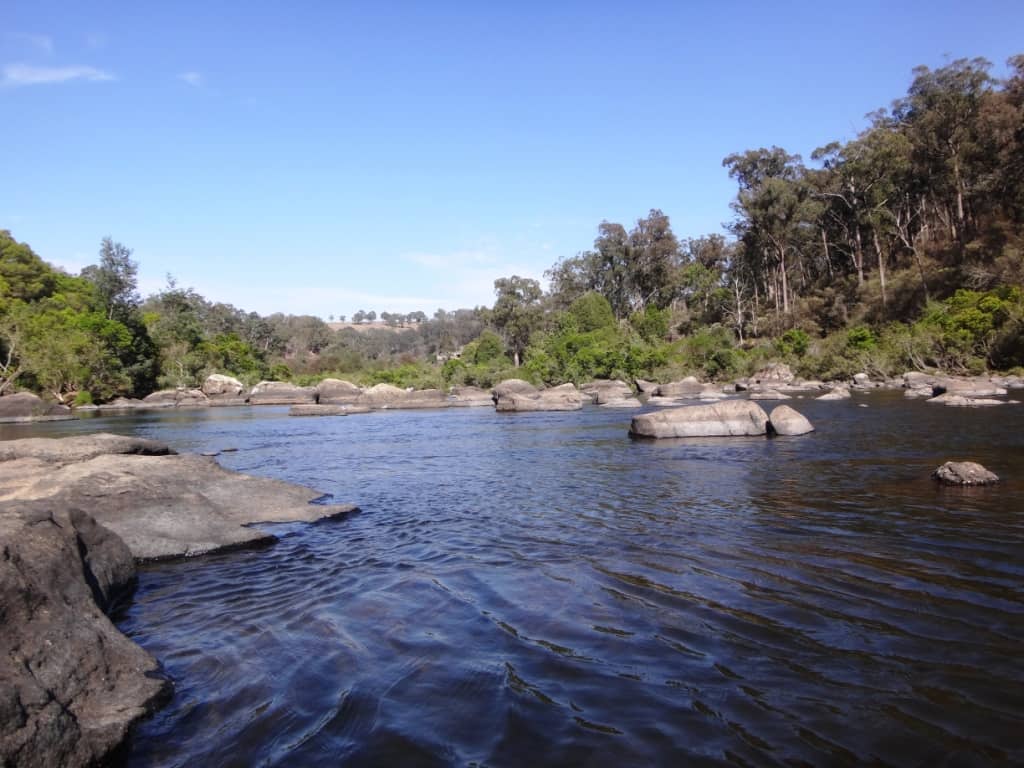
The reed beds quiver.
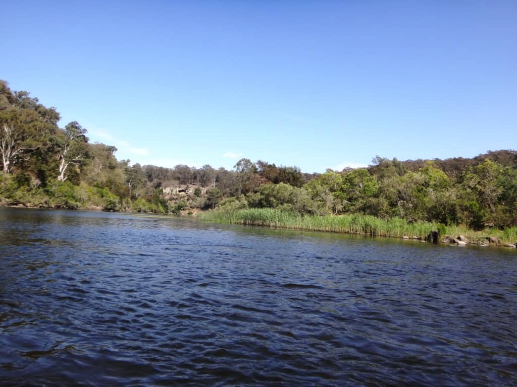
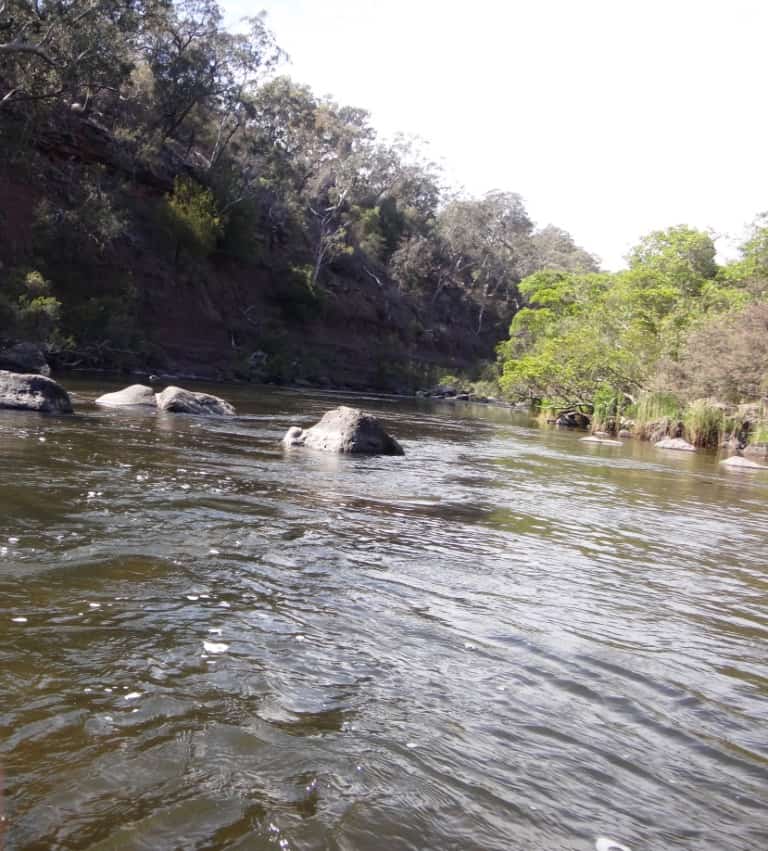
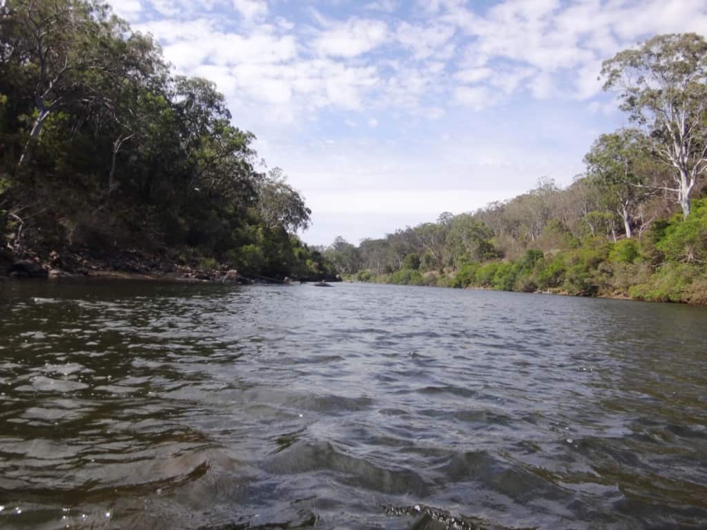
At last the ‘Final Fling’ rapid.
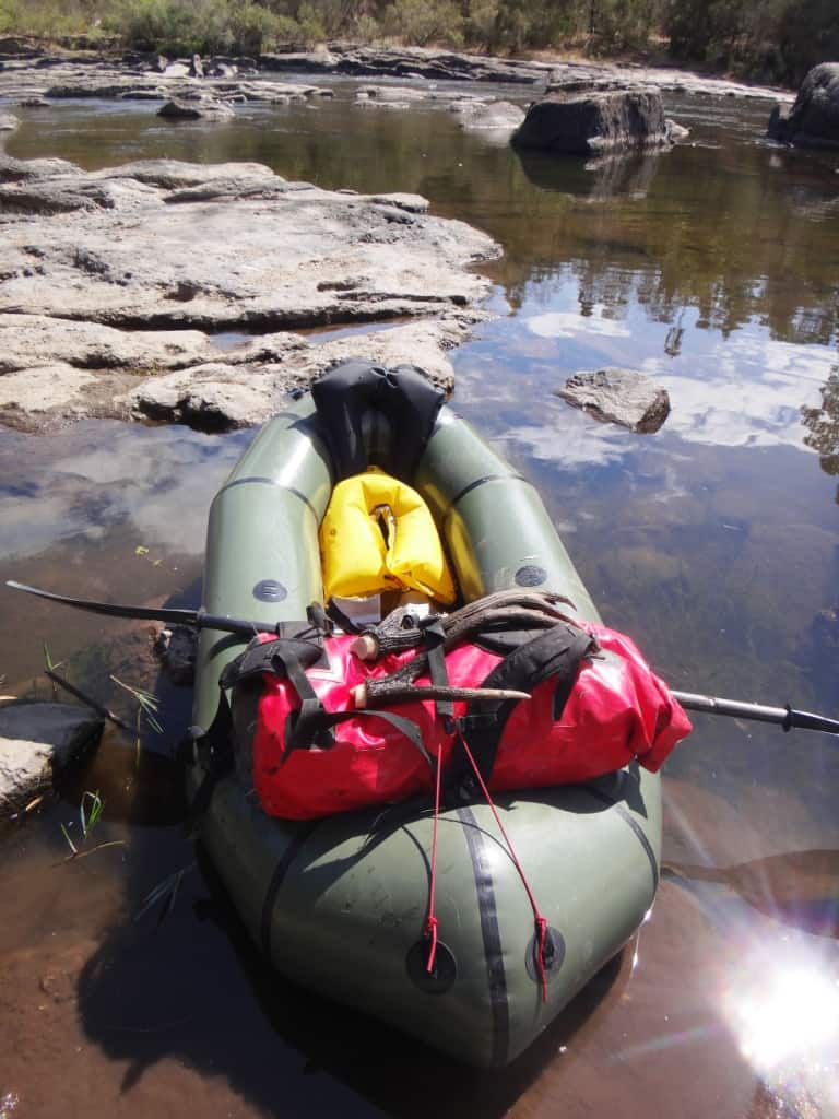
A dead stag had fetched up here. Despite his being more than somewhat overpowering I could not pass up the chance of a trophy without even a gun!
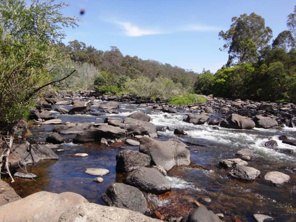
You can walk around this rapid on the right hand side – recomended.
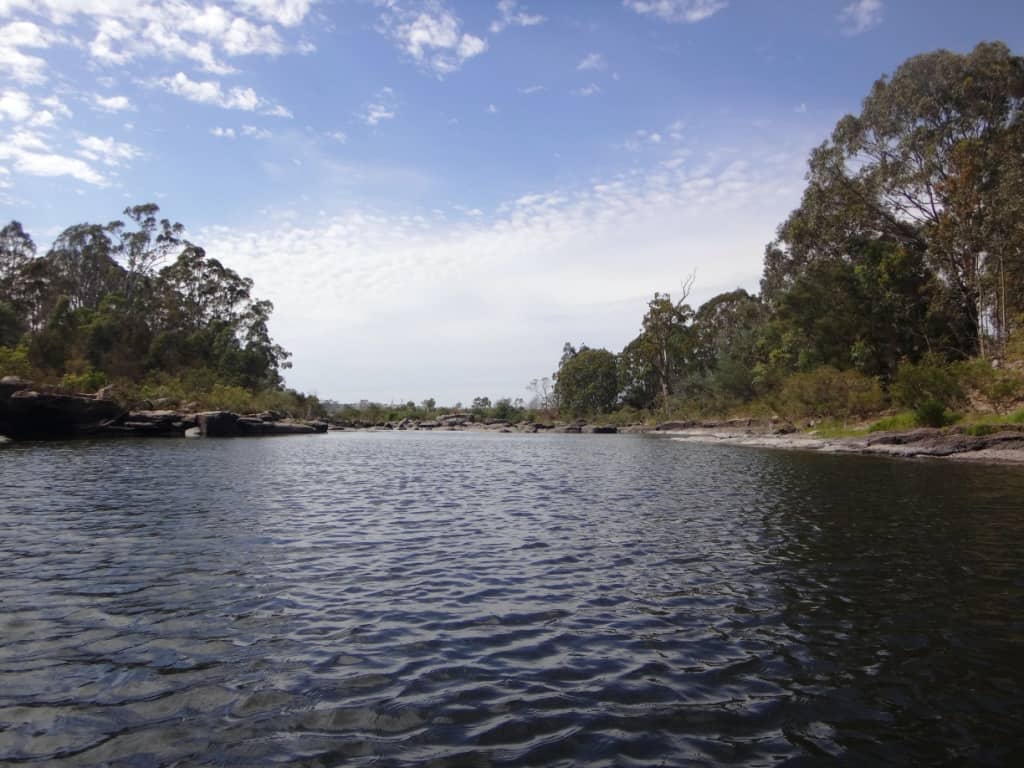
Only a bit over half an hour to go mainly on flat water.
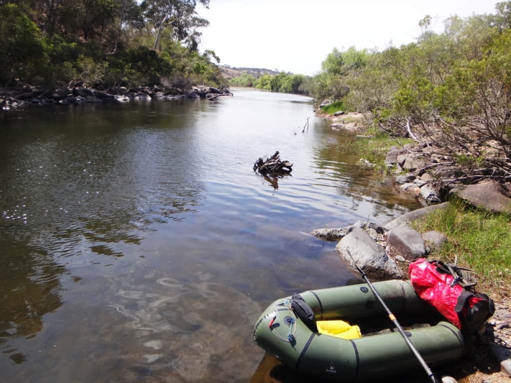
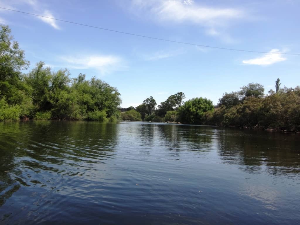
And real willows hove in sight. What a delight they are!
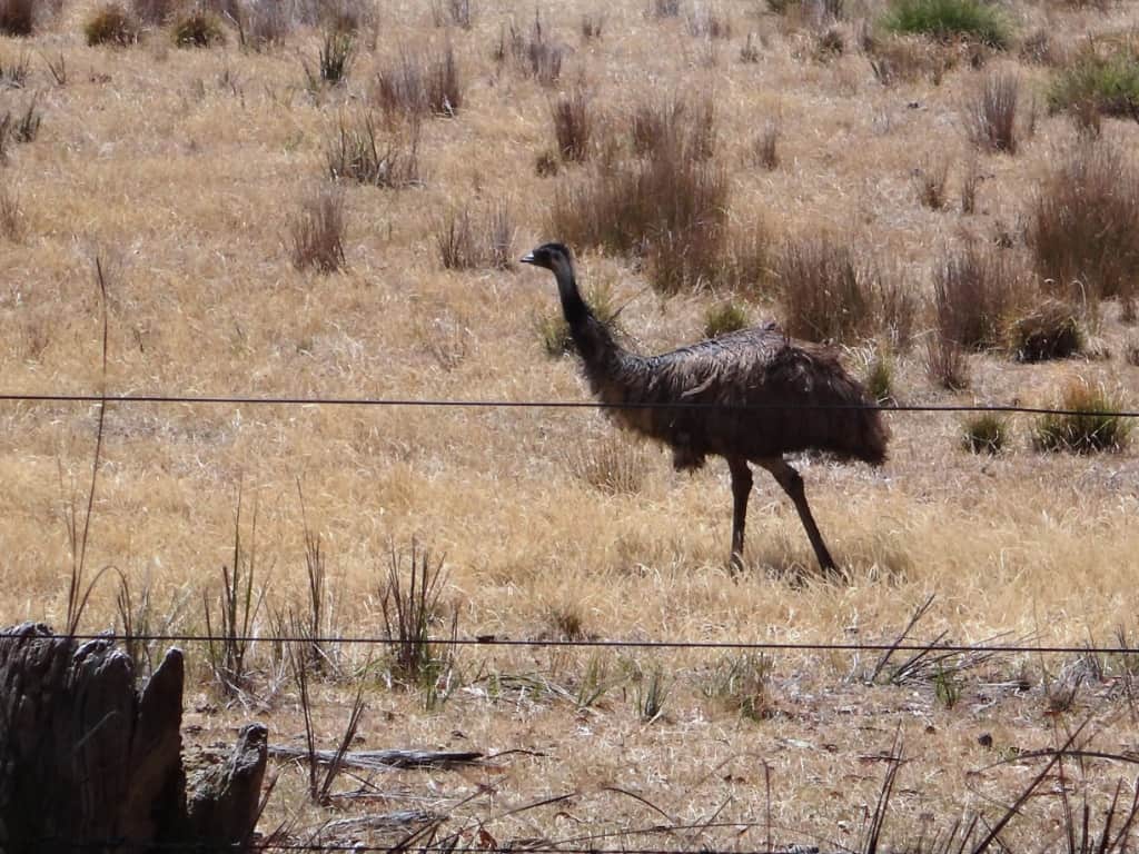
On the car/bike shuttle I chanced upon a family of emus.
It was a truly delightful three day trip. Younger folk could probably do it more quickly particularly in higher water levels – but what’s the hurry. Unfortunately the summer has turned hot and dry and there is now not enough water to follow in my footsteps but put it on your bucket list for when the autumn break comes along – or you might chance to Catch the Wave if it rains higher up the catchment over the summer.
River Heights: Glenaladale Weir: Began Trip .65 ended .66; Waterford: 1.63-1.57; Crooked River: 1.31 – 1,26. These figures probably give you some idea about the comparability of the three gauges. Adventure Pro claimed the river was canoeable from .6 on the Glenaladale Gauge. This is probably about right – for packrafts anyway, but you would expect portages across many rapids. I know I just managed a few and portaged 2.3 at nearly 2″ more water than that. That being said this section of the river is characterised my very many long still deep so you might enjoy the experience even when river heights are low – as they are at the moment.sections where you might have to paddle against a headwind. It would be much more enjoyable with a couple more inches of water eg .8 on the Glenaladale Gauge.
Times:
Angusvale Camp Ground to Jorgensens 4 hours
Jorgensens to Amphithesatre Rapid 3 hours
Amphitheatre to Den of Nargen 2 hours
Den of Nargen to Glenaladale Weir 2 hours
Glenaladale Weir to Final Fling 2hours
Final Fling to Glenaladale Bridge 3/4 hour.
Portages approx 1/2 hour.
Campsites: are not wonderfully numerous on this section of the river., though they are to be found. There are hardly any between the Amphitheatre rapid and the Den of Nargen for example, though there does appear to be a bench a chain up from the river on the true right bank which might provide some good spots. There are also not many spots after the Glenaladale Weir, but there are some. Mostly folks have been camping on the lovely sandbars along the way and at the confluences of major creeks. There are shadier spots a little further away from the river which you really need to look out for (look for the benches I mentioned earlier). There is a delightful spot on the true left bank just above the Roaring Mag Creek, for example.
The Glenaladale Weir camping spot is a delight. I camped there and above and opposite Jorgensens. The trip took me 14 hours on the water, so it would have become fairly tedious if done over only two days. You would have to make an early start and a late finish at very least. If you are packrafting you can get out at the Den of Nargen and walk up to the Caravan Park.. Doing so would cut nearly five hours off the trip making it much more suitable for an overnight trip. Of course with more water (and fewer years of age) it might be done much more quickly. You should allow some leeway so that you can perhaps wait an hour or more for a suitable camp to show up.
See Also:
http://www.theultralighthiker.com/pack-rafting-the-remote-wonnangatta/
http://www.theultralighthiker.com/remote-wonnangatta-day-two/
http://www.theultralighthiker.com/a-wonnangatta-spring/
http://www.theultralighthiker.com/a-wonnangatta-spring-day-two/
http://www.theultralighthiker.com/a-wonnagatta-spring-day-three/
Section 1: http://www.theultralighthiker.com/wonnangatta-kingwell-bridge-to-black-snake-creek/
Section 2: http://www.theultralighthiker.com/wonnangatta-black-snake-to-hut-creek/
Section 3: http://www.theultralighthiker.com/wonnangatta-hut-creek-to-waterford-bridge/
http://www.theultralighthiker.com/canoe-wonnangatta/
For River Heights: http://www.theultralighthiker.com/canoeing-the-wonnangatta-catching-the-wave/
http://www.theultralighthiker.com/pack-rafting-the-wonnangatta-mitchell/
http://www.theultralighthiker.com/videos/dawn-surprise-rapid-wonnangatta-river-australia-day-2017/
http://www.theultralighthiker.com/wonnangatta-waterford-to-angusvale-day-one/
http://www.theultralighthiker.com/wonnangatta-waterford-to-angusvale-day-two/
http://www.theultralighthiker.com/wonnangatta-waterford-to-angusvale-day-three/
http://www.theultralighthiker.com/videos/canoe-wonnangatta-the-movie/
https://www.theultralighthiker.com/2019/12/23/marvelous-mitchell-river-day-1/
