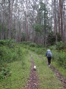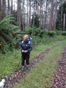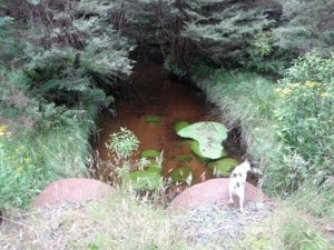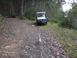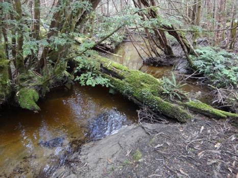
After camping the night in the Block 10 Rd (Toorongo), we headed off along Newlands Rd towards Mt Whitelaw Hut (ruins) to investigate the section of the Upper Yarra Track which we wanted to ascertain was ‘clear’. This road is pretty much the most beautiful road in Victoria: an easy and pleasant walk (turn back when you feel like it, or camp out in a sunny spot somewhere on the many crossings of the diminutive Thomson River, or at the trout-filled dam just off it to the North about two km in).
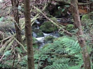
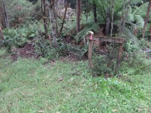
The track leading from the Saddle is a little overgrown but easy enough to follow as there is a gap between the trees – and others have clearly walked it (albeit irregularly). Unfortunately some distance up the ridge above the Frangipani Saddle we encountered blizzard-like conditions. Della started to become very cold (and wet) so we decided to turn back and returned to the car, somewhat wearied after an approx 18-20 km walk! http://www.finnsheep.com/THE%20UPPER%20YARRA%20WALKING%20TRACK.htm
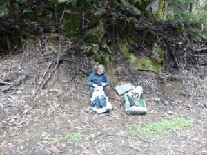
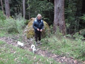
We lunched at the spot where the track diverges from the road, Frangipani Saddle under the excellent shelter of a giant myrtle beech. It is approx an 8 km walk from the gate to this spot. It is another 3km (according to the signpost) to the intersection with the Alpine Walking Track along the top of the Baw Baws, and a further approx 2 km (East) to the Whitelaw Hut ruins (chimney and foundation), a good camping spot with water.
