Fit young people might complete this walk in a single day, but folks with more age or sense will take two or more. It is a beautiful, isolated part of our coastline which we plan to walk again as soon as/if my back is better. Then I hope for an extended foray to Mt Darling this time with my darling, Della. You will need to leave a second vehicle at the beginning of the Five Mile Track (or a bicycle) so you can return to your car at Liptrap lighthouse.
Nonetheless it can be walked, but going around the bottom of Liptrap can be tricky. People used to come up this goat track then down another one just below Evan Walker’s driveway – which can still be done. Lots of wonderful surfing ‘breaks’ used to be enjoyed down there on Maitland Beach in the past, campfires on the beach, etc.
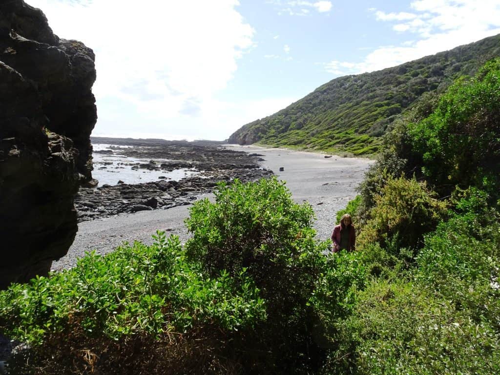
You are looking to come out where that gully below meets the sea:
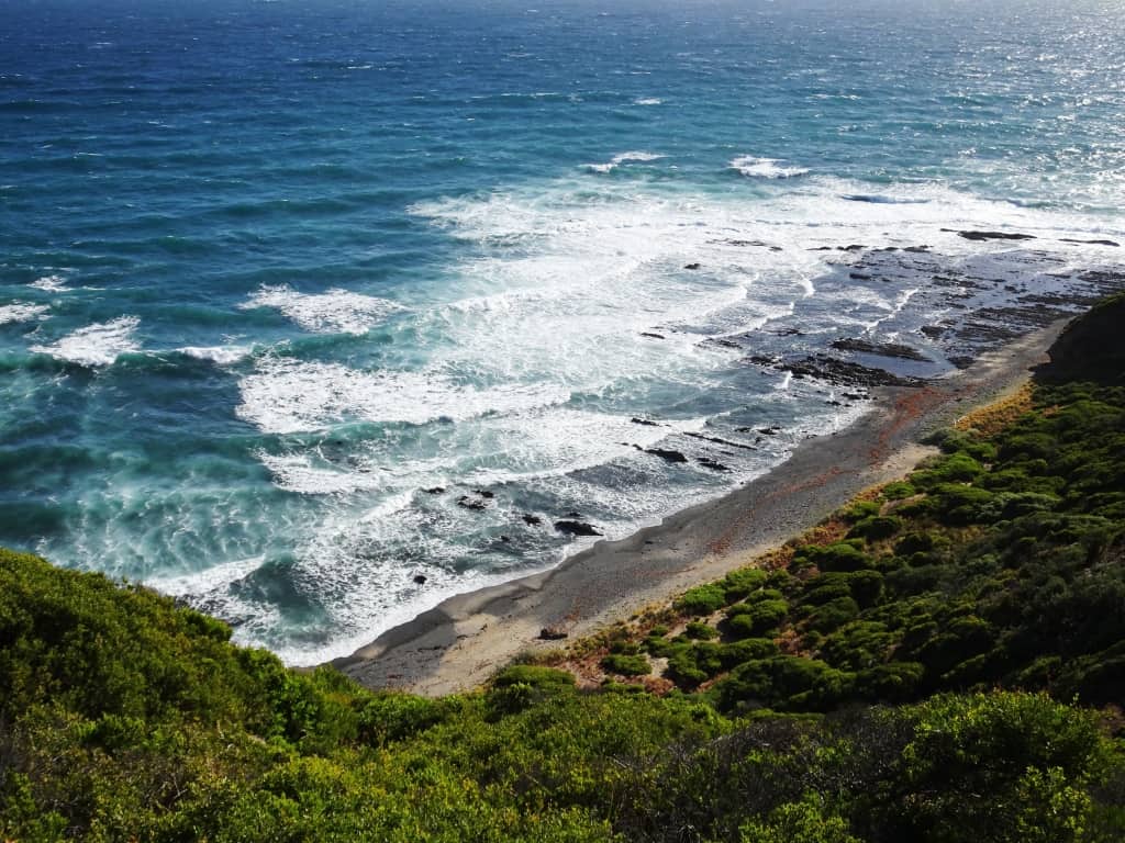
There is a path across that gully.
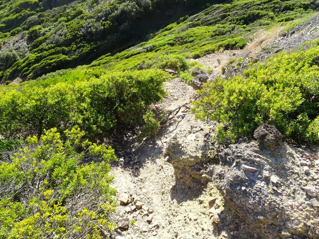
After you pass by the locked gate (to prevent vehicle access) and a bit of dense shrubbery you will come to an open ‘lookout’ which used to be a camping area – one of many which have been closed as the public continue to be denied access to their lands. You can see the grassy path along the other side of the gully to your right from the top. You have to get down and over to it. There are only a couple of ways. The best is to take the path down to your right and cross high. If you take the path to your left and down you can still cross but it is steeper and thicker. If you are coming back, pay close attention, as it can be tricky finding the right wallaby track to ascend on! Hint: both could use a little bit of machete work (See: Nuts to Leave no Trace).
You were looking across the gully for a clear grassy walk like this.
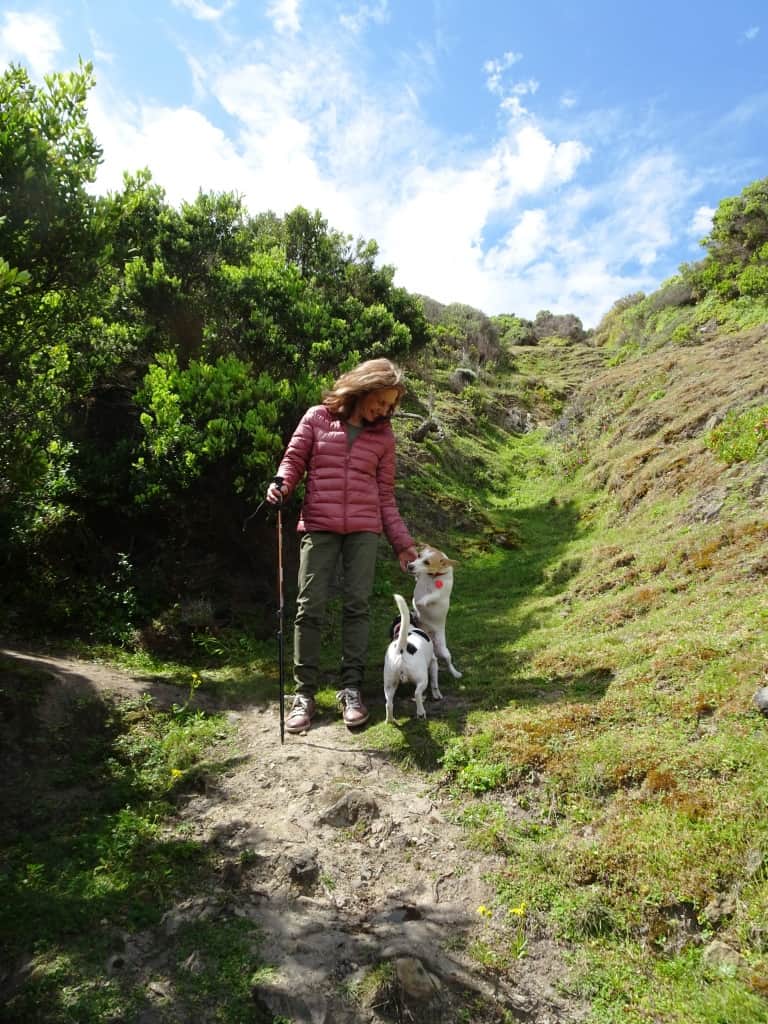
As I explained in the earlier post, there is a goat track down to the beach starting at the locked gate 100 metres back along the road from the lighthouse carpark. Parks Victoria plan to have a continuous walk from Venus Bay along the coast to Bear Gully – and on, but it requires work – as well as planning! Thousands of employees are not sufficient to get any work done – though they can invent more and more rules. It may not be ‘legal’ to walk along this beach, or to camp, have a companion dog with you, catch a fish or pipi. I have long since lost interest in keeping up with the plethora of rules and regulations or paying attention to them. I will pay the fine as my price of admission if ever the day comes!
The Venus Bay coast teems with fish. I have enjoyed many fine feeds of bream and whiting for example and there are vast middens of pipi shells as you walk along the beach left by earlier travelers. They are best washed a couple of times in salt water to get rid of as much grit as possible – but they are delicious!
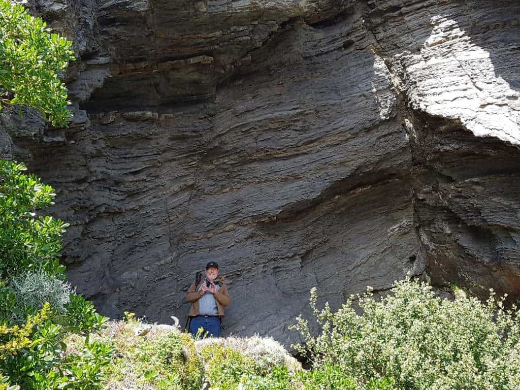
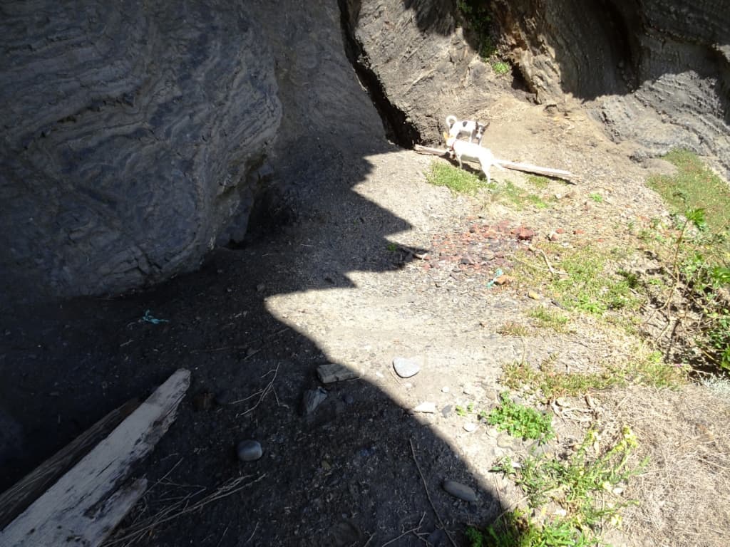
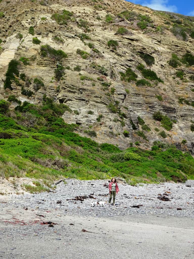
Once you are on the beach the going is splendid (even with a crook knee and back). To your left you will see a sea cave in the beetling cliffs. It contains a rock bivy you could use for an overnight camp (if you have brought water with you).
It is well above the level of the sea, as you can see:
And has a nice dry flat spot to hang out:
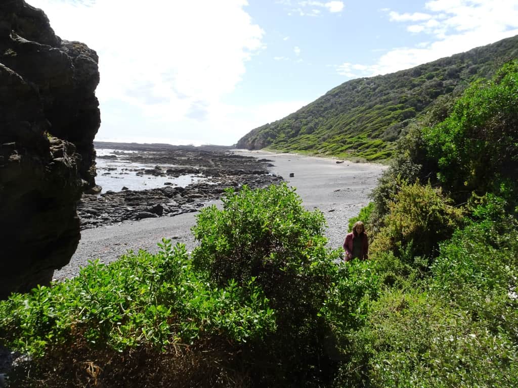
And beautiful views to the West:
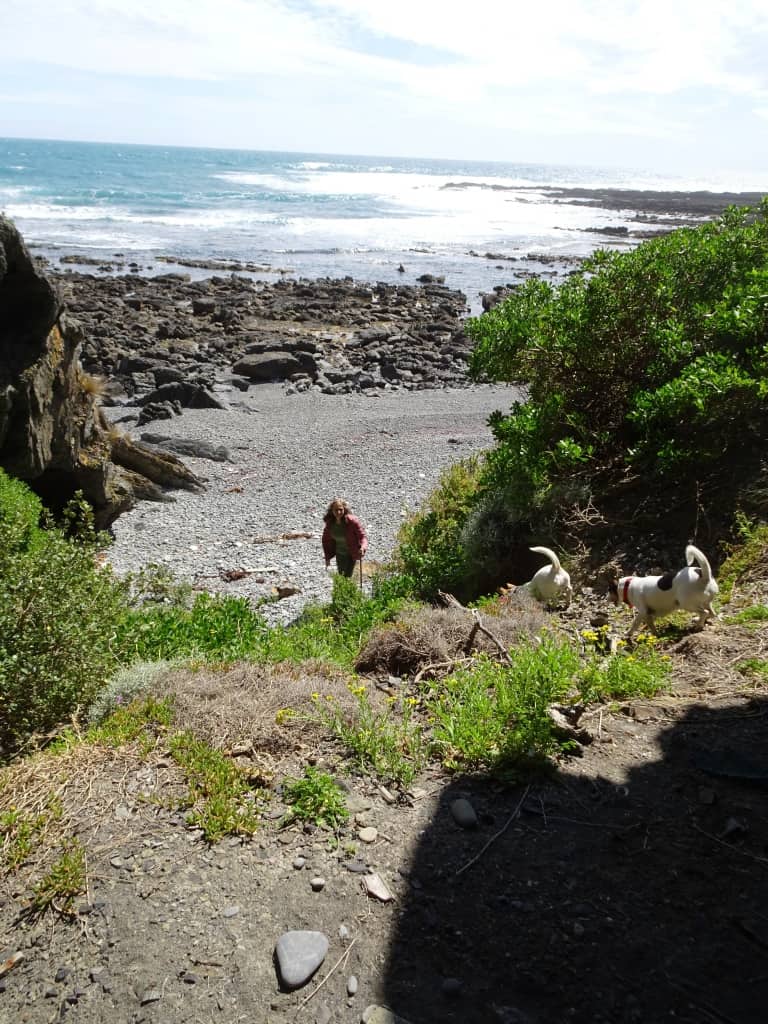
Or like this:
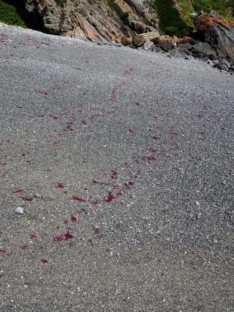
The beach looked like it had been painted by a scarlet Jackson Pollock:
You see what I mean by ‘beetling cliffs’?
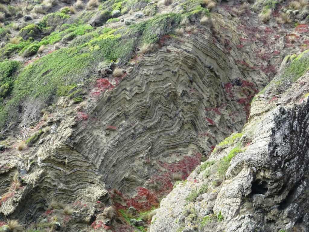
They have spectacular synclines embedded in them.
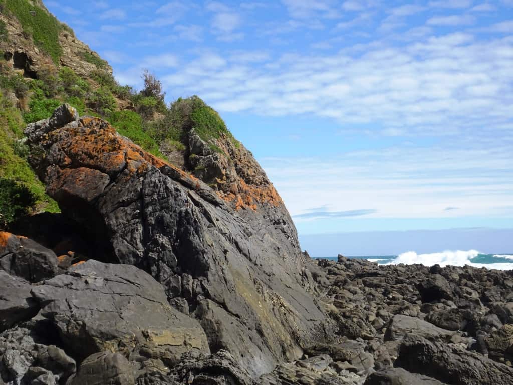
The view around the corner to the east towards Liptrap.
You should check before you begin this through hike that the Ten Mile Creek which you cross just east of the Buffalo-Ten Mile intersection has water flowing in it, as you will need this water for an overnight camp. There is usually/often water at Mueller’s Creek and from rock seeps along the way. Some may even be found in the very small gully at the Five Mile in wetter weather. There is a patch of cumbungi about 150 metres inland from the beach which is a sure indication of underground water – but water cannot be counted on in very hot weather, so check the Ten Mile Creek before you begin!
We head West.
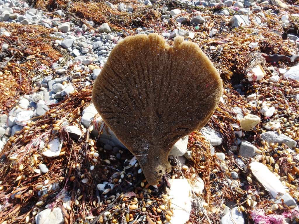
Lots of sponges in the sea wrack today. This one could have been the inside of a motor-bike seat.
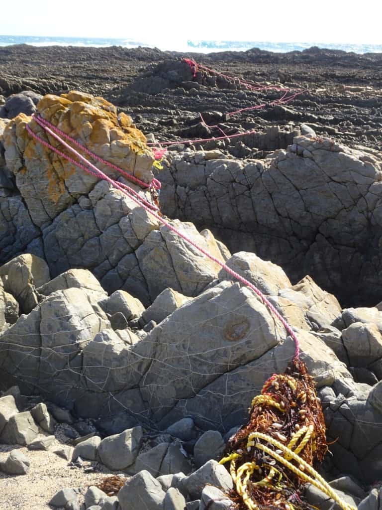
This could be a leftover of one of Christo’s wrapped coasts:
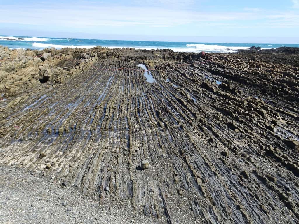
The sea has ploughed these furrows very straight.
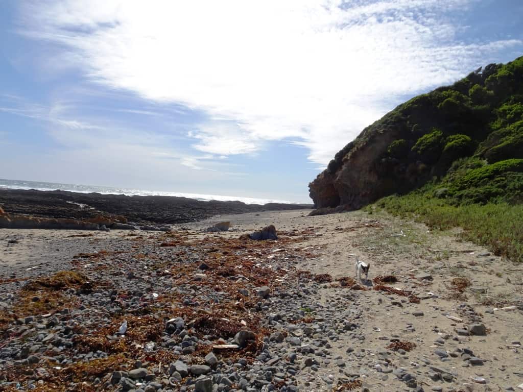
Around the corner looking West
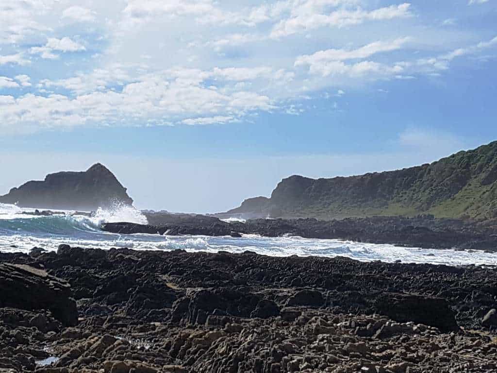
Still looking West
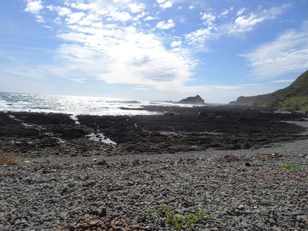
There is a lovely little beach here. Looking East along it towards where the previous shot was taken. 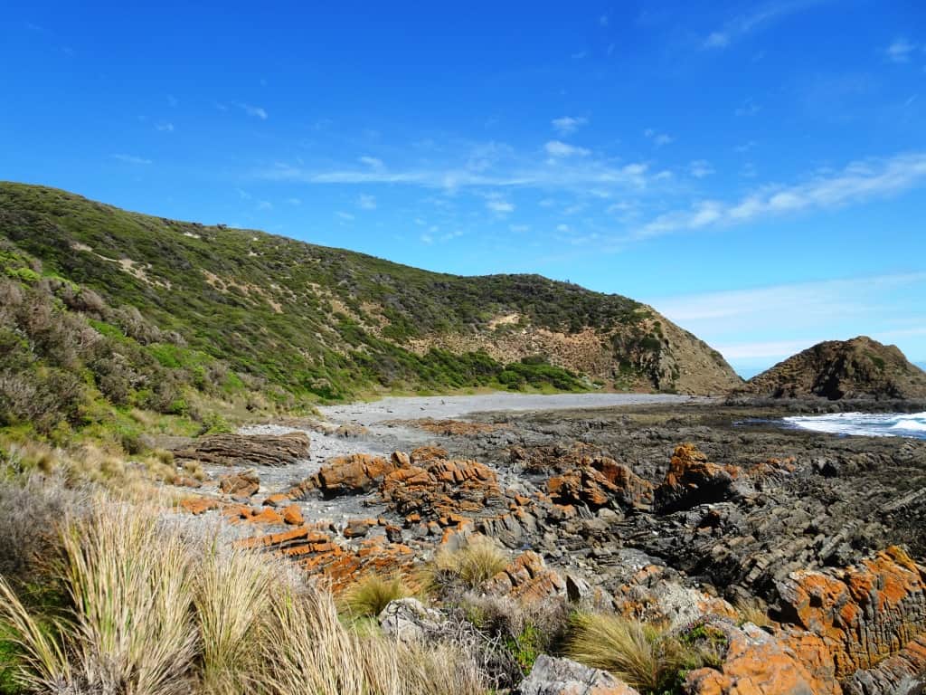
And closer up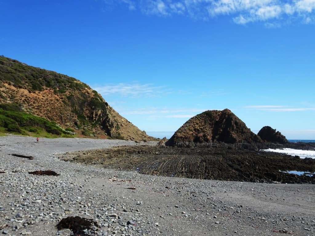
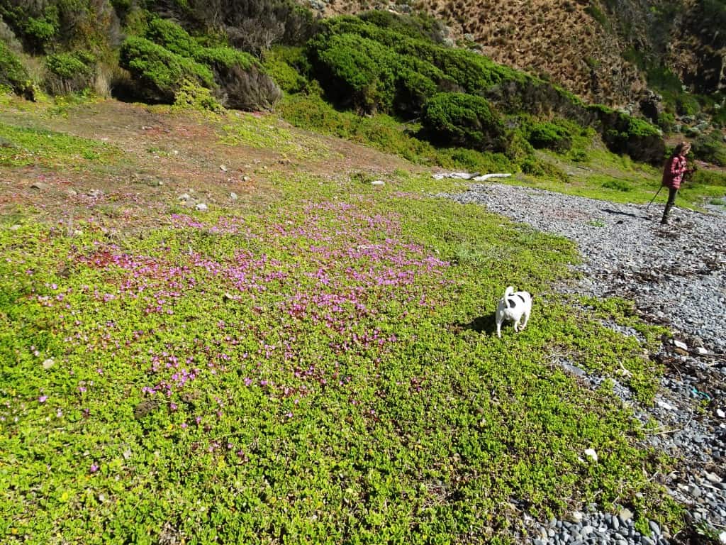
The pigface was putting on a splendid display.
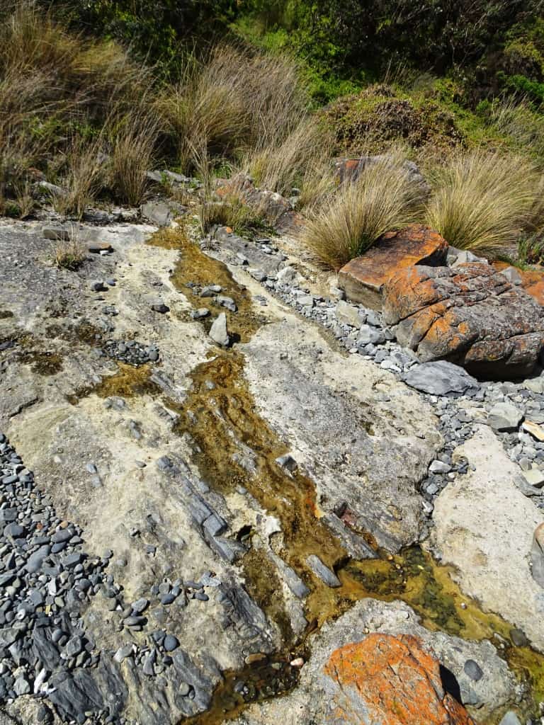
One of the seeps of fresh water I mentioned coming from the rocks. Such a phenomenon is common along the (Gippsland) coast and can be a lifesaver. You need to be prepared to harvest the water though. And maybe even filter it if it is muddy.
Another day when my back is better I will walk all the way again. There are many other delights to see before tracks end…
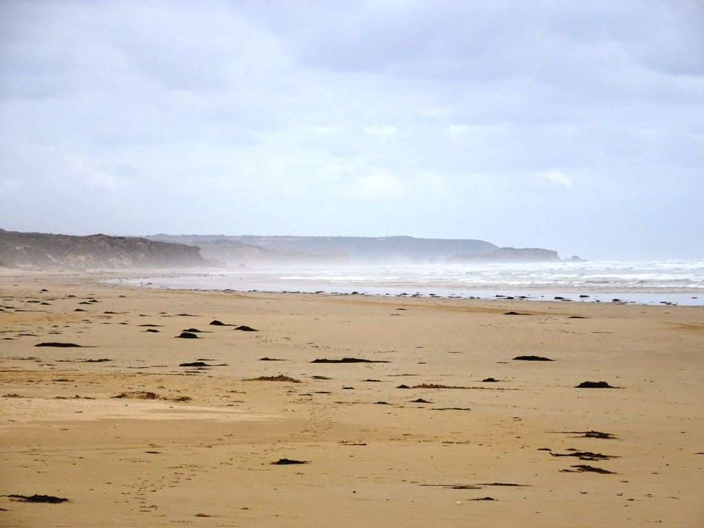
At the Five Mile looking back towards Liptrap:
Walking out the Five Mile Track:
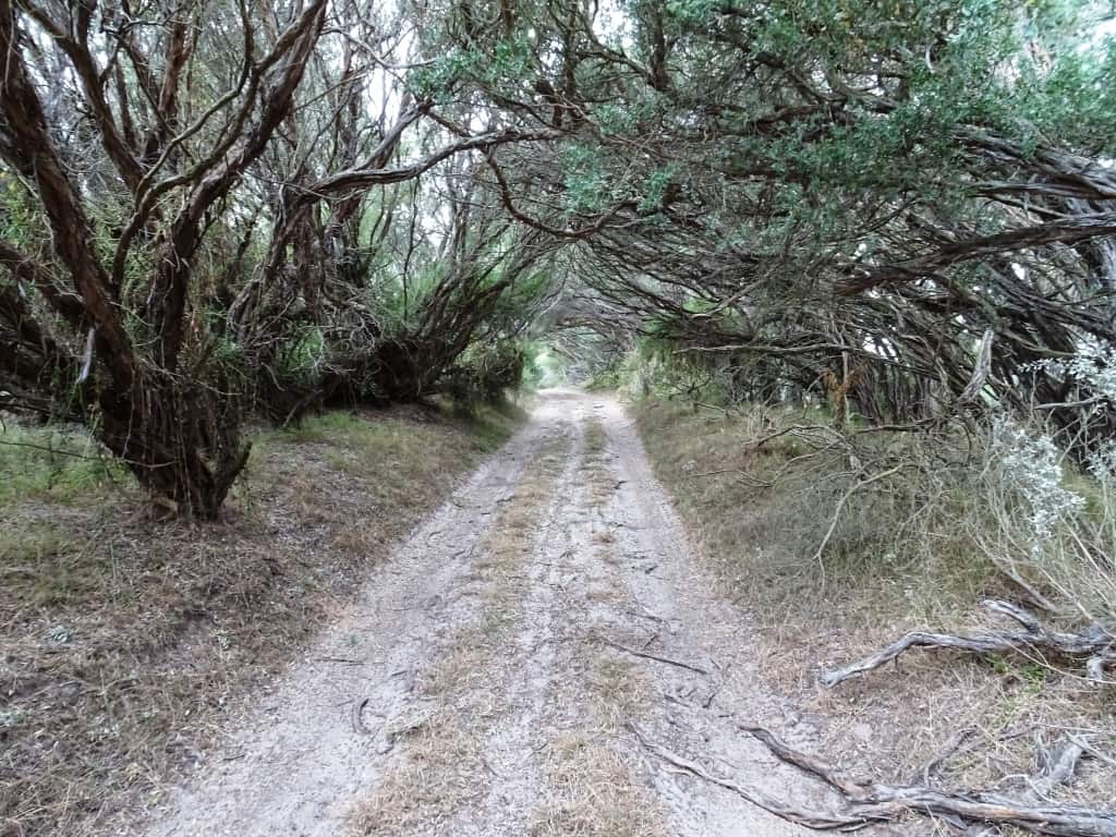
I realize you could continue along the beach and exit at Venus Bay, but it is also a pleasant diversion to walk up the Five Mile Track to the Tarwin Lower-Walkerville Sth Road. There are many interesting creatures you might see as you do. There is also a (legal) vehicle camping site (without water) at the beach end of this track. You will have to be looking out very carefully for this (sand) 4WD track when you are dropping your other vehicle/bicycle off. You will know you have the right one because there is a sign forbidding everything just at the beginning – in the usual way.
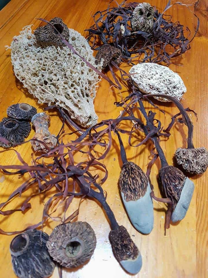
Of course everyone comes home with a few trophies. The sea is depositing hundreds of semi-trailers worth every day, and we maybe take away a small bucketful. The most interesting thing I found was an old iron ship’s rivet which had become encrusted on one end with barnacles.The plants which had used stones as anchors were pretty special too. And the coral which has no trouble growing in these 10C colder waters just as they have no trouble growing in the 10C hotter waters of the Red Sea. As I said before: Nuts to Leave No Trace.
See Also:
http://www.theultralighthiker.com/liptrap/
http://www.theultralighthiker.com/the-five-mile/
http://www.theultralighthiker.com/the-great-gippsland-circuit/

