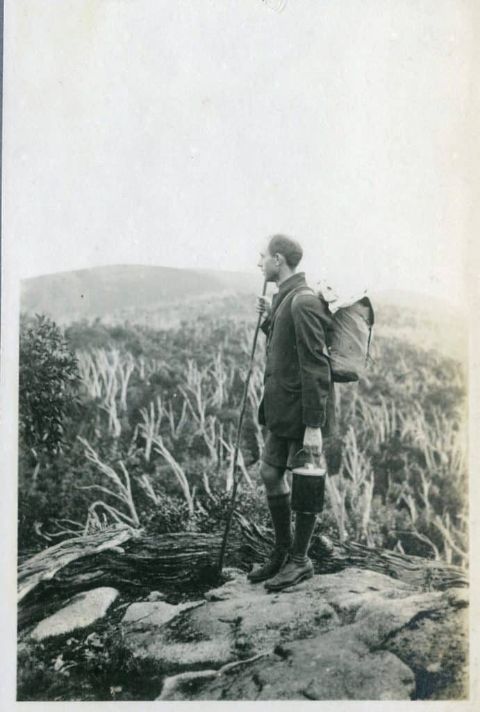
These (more than 70) fascinating photos of a memorable historic trip on the Upper Yarra Track illuminate a journey by John Jensen in 1922. The photos are held by the Melbourne Walking Club and are available here: The photos were sent to me once again by Thomas Osburg of Yarra Ranges Bush Camp.
I have tidied them up a bit so they can be viewed individually. I think they are splendid. The captions are Jensen’s originals. (No doubt better quality scans could be obtained if I had access to the originals, but these still give some idea of the treasures which exist ‘out there’). I think the most wonderful thing about them is that they are in sequence and the captions allow us to locate the points where the photos were taken so that we can really relive this delightful expedition. One of the most enchanting things about this series of photos is that (for Jensen) it was a ‘sentimental journey’ reliving an earlier trip he undertook in 1907, 110 years ago today!
If you do not know the Upper Yarra Track, it is one of the world’s oldest and greatest walking tracks. It predates all of the USA’s famous tracks (such as the Appalachian trail, etc) by over 50 years – as well as NZ’s, Tasmania.s etc. It was constructed in the late C19th (nearly 150 years ago) linking Walhalla and Warburton via the Yarra Valley and the Baw Baw Plateau. Though the route has been changed to skirt the Upper Yarra Dam Catchment, the track still exists (in reality and on the topographical Vicmaps). It can be walked in sections, and it can be extended (to about ten days) if you want to use only public transport beginning/ending at Moe railway Station or Lilydale. A highlight of the trip (in the past) was an excursion to the Yarra Falls (Victoria’s highest at nearly 1,000 feet); though this is still a wonderful experience and possible, it is illegal.
In my Track Instructions I have supplied photographs of much of the route ‘today’ though in the other direction. You should have a look at them for comparison. Of course the part of the route which is under the Upper Yarra Dam can no longer be traversed and that part which is in the closed dam catchment area may not be (on pain of hefty fines) – though over the years a number of people have traveled parts of it (eg to the Falls and Shelter House) in defiance of such unnecessary and onerous restrictions.
Presumably Jensen and his companions set out from Warburton, and had:
Breakfast at McMahon’s Creek:

An Abandoned Farmhouse: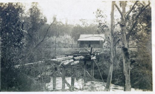
The Yarra: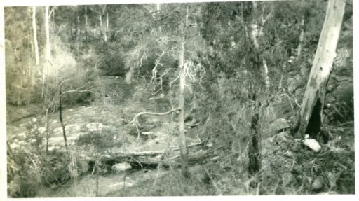
A Relic of Other Days:
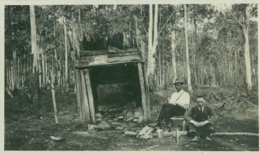
A Halt for Repairs:
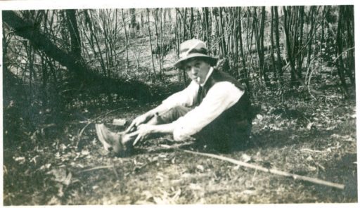
Upper Yarra Hotel Walsh’s Creek:
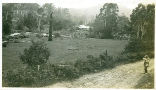
The Starting Place:
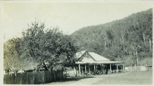
At Aldermans Creek 3 Miles
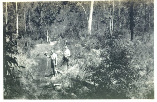
The Lusty Young Yarra:
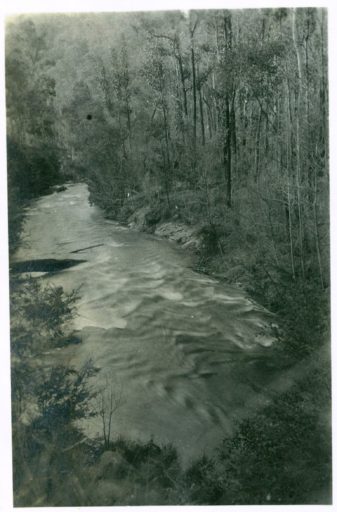
On the Track:
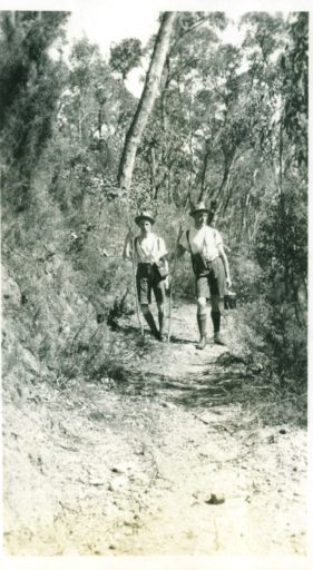
A Glimpse of the River:
Lunch at Contention Gully:
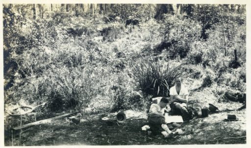
Old Mining Camp at Contention Gully:
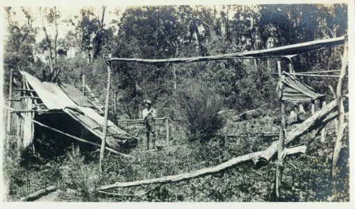
Ferns and Flowers:

Our pack Horse:
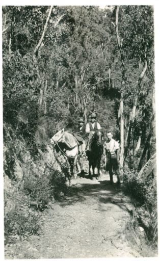
A Halt 11 Miles:
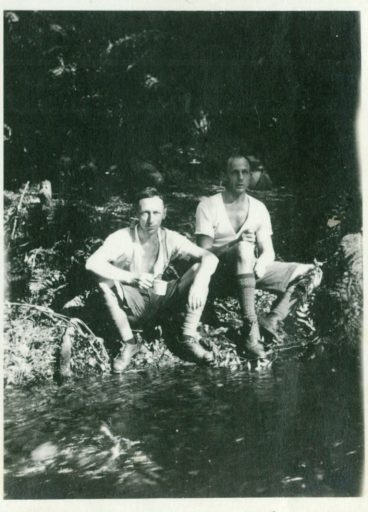
Dinner in the Shelter Hut 15 Miles:

Near the Upper Falls:
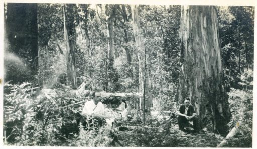
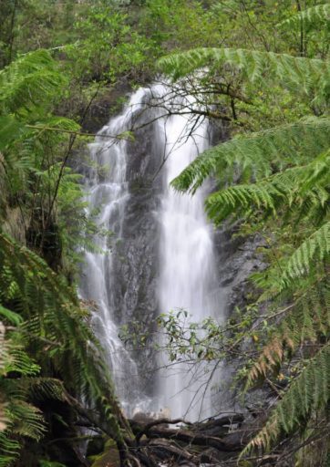
The Upper Falls:

The Lower Falls:
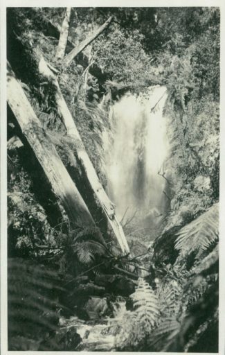
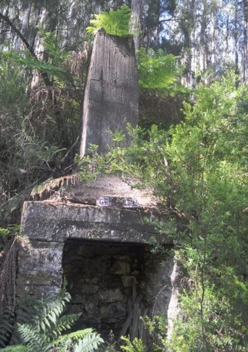
(Falls and Shelter Hut today)
Full Equipment:
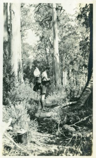
In the Beech Forest:

Left Fork Source of Yarra:
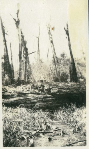
Right Fork Source of Yarra:
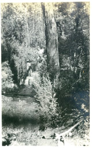
A Fallen Monarch:
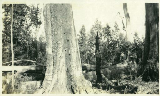
The Thomson Bridge 20 1/2 Miles
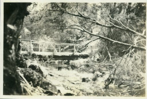
Last View of the Yarra:
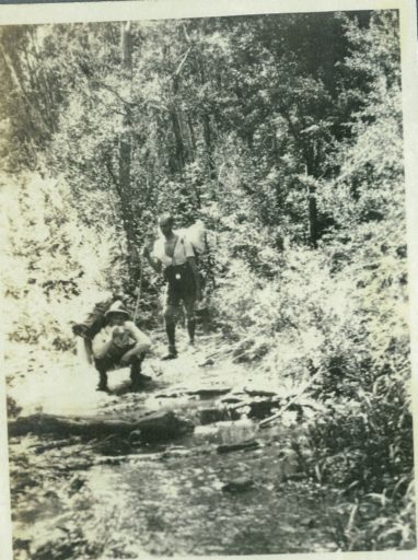
On the Divide:

Mountain Ash and Fern

Whitelaw Shelter Hut 29 Miles:
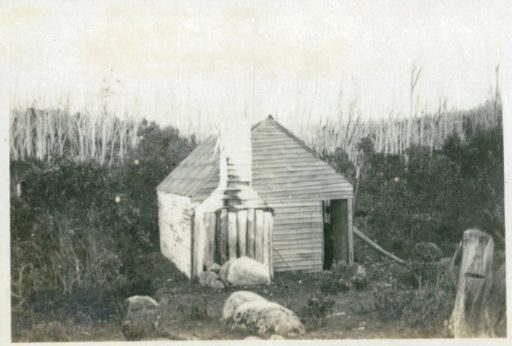
Our unstable Residence Also called ‘Lizardville’
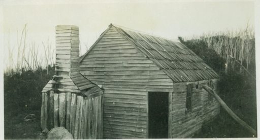
(Whitelaw’s Hut today)

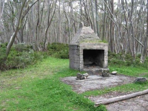
Photographing the Clouds:
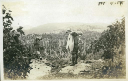
Mountain Tops:
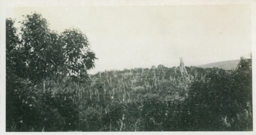
Snow on the Track:

Camp Hole:
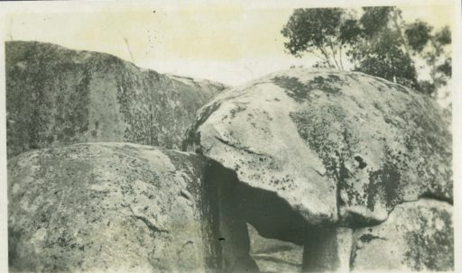
Above the Clouds:
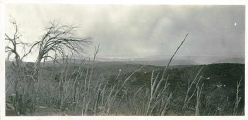
A Lookout:

Mount Baw Baw 5130 feet.
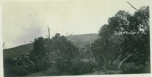
On Mt St Phillack – Highest Peak.

Lunch on Mt St Phillack 5140 Feet.
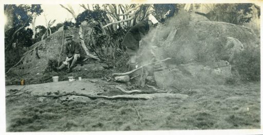
A Watery Track.
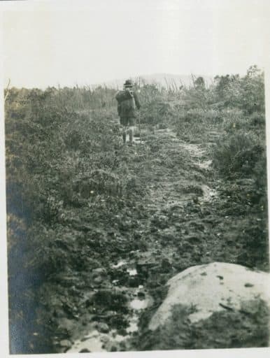
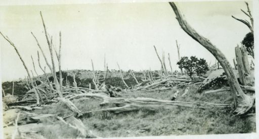
Desolation.
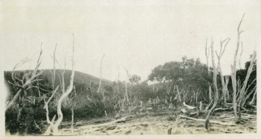
A Morass
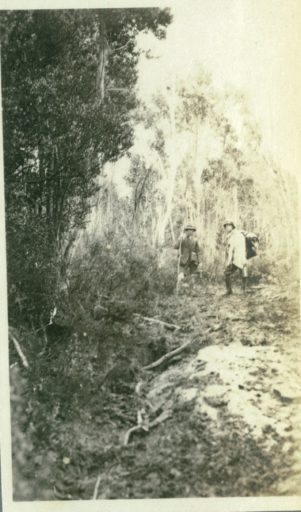
Snow Gums
Above the Clouds
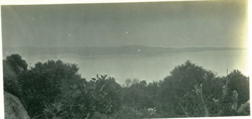
Cloud Scenes
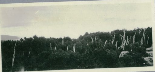
Where We Slept in 1907
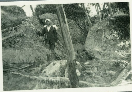
Mount Erica Shelter Hut 37 Miles
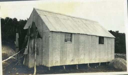
(Talbot Peak/Mt Erica Hut today)

Mount Useful in the Distance
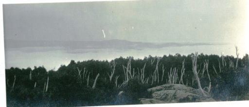
Leaving Mt Erica
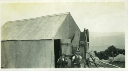
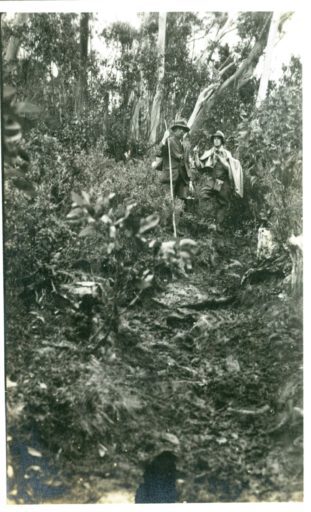
Granite Rocks 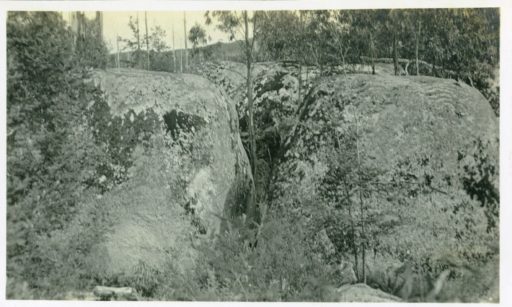
The Track Down Erica
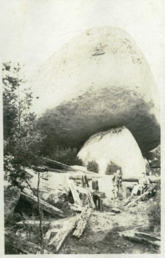
The Granite Rocks
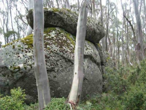
(mushroom Rocks today)
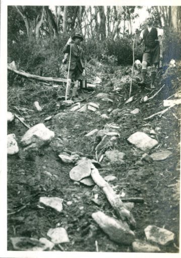
A Rough Track
A Forest of Mountain Ash
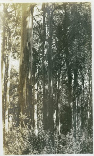
A Fern Gully on Erica

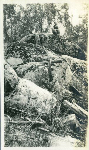
On the Rocks
A Timber Winch
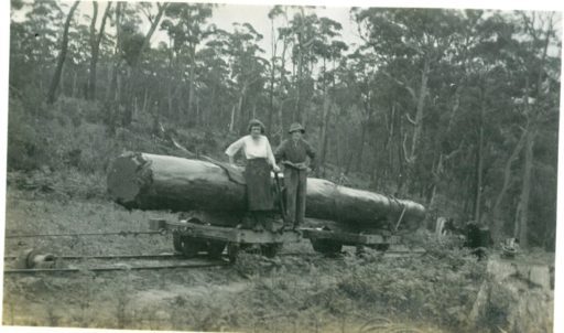
A Log Being Hoisted
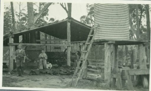
The Winchman’s Hut
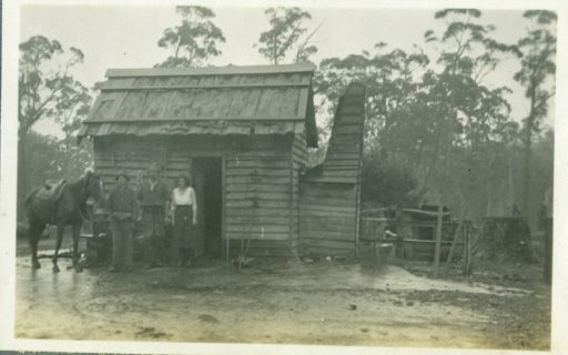
Railway Bridge Over Thomson
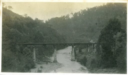
The Thomson Bridge 48.5 Miles

Entrance to the Town
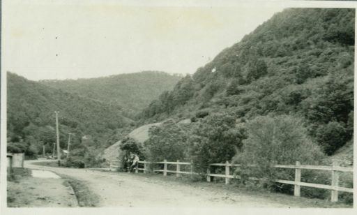
Walhalla At Last
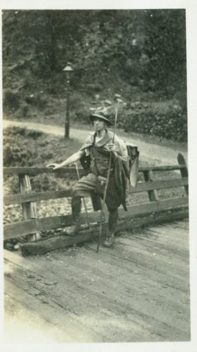
How We Entered
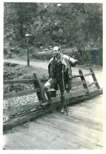
The ‘Star’ Hotel Walhalla 57 Miles

A Glimpse of the Town

Left Branch Stringers Creek
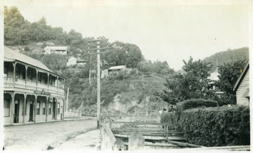
Remains of the Long Tunnel Mine

Right Branch Stringers Creek
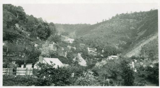
The Modern Dick Turpin
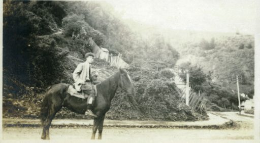
Left Road

Leaving Walhalla
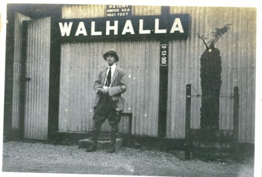
Walhalla Station
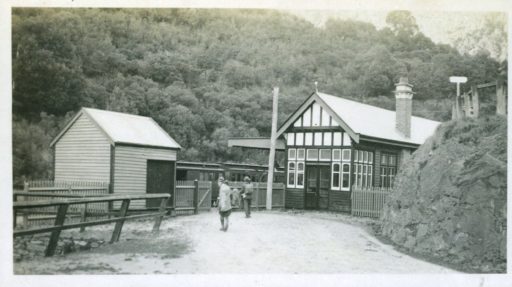
From Watson Station

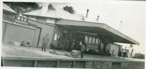
Moe Station
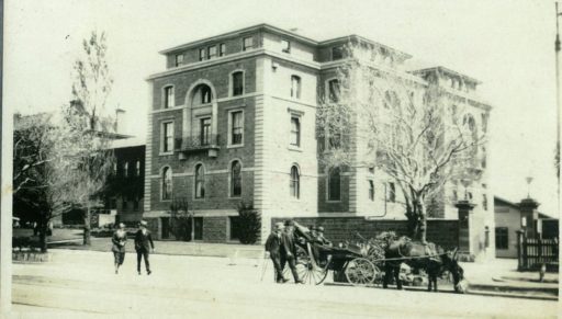
Yarragon Butter factory

Back at Work
They were following this route: http://www.theultralighthiker.com/upper-yarra-track-1925-tourist-brochure-map/ (NB. I need to update this post. Somehow the images have shrunk) Whereas today we would be following this one: http://www.theultralighthiker.com/upper-yarra-track-map/
PS: A search in the facility on the upper right hand side of this page will reveal lots of other Upper Yarra Track treasures…there are many other interesting historic photos as well as the fascinating books by Annie Hoffa and Robert Croll.
I hope you enjoyed this post. it has taken me five hours!
See Also, eg:
http://www.theultralighthiker.com/upper-yarra-track-summary-cumulative-distancestimes/
http://www.theultralighthiker.com/upper-yarra-track-baw-baw-to-newlands-rd/
http://www.theultralighthiker.com/upper-yarra-track-sidetrip-baw-baw-to-mt-st-phillack/
http://www.theultralighthiker.com/upper-yarra-track-osheas-mill/
http://www.theultralighthiker.com/upper-yarra-track-section-five-erica-to-walhalla/
http://www.theultralighthiker.com/upper-yarra-track-st-gwinear-track-junction-to-whitelaws-hut/
http://www.theultralighthiker.com/upper-yarra-track-section-nine-phillack-saddle-to-block-10-road/
http://www.theultralighthiker.com/upper-yarra-track-side-trip-poverty-point/
http://www.theultralighthiker.com/yarra-falls-3/

