My friends Brett Irving (and his wife, Kim) walked Tasmania’s Overland Track back in February (2024) They were kind enough to share some of their (80+) photos and some memories of their experiences. It is one of the reasons why Della and I ventured down there for a ‘look-see’ last week.
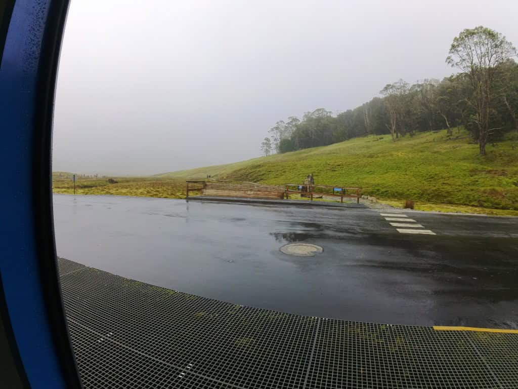
For example, here they were setting out from Ronnie Creek in quite shocking weather. (Many more below)

They also vouchsafed me this video memory of the track which I think will be interesting and instructive to many prospective hikers. Brett & Kim’s Overland Track Video (below)
Further below you will find their photos of the track with some explanations. I may have some of the photos in the wrong order though as I wasn’t there. Brett has helped with the identification. What an awesome trip it was though.
Brett’s family originated from Tasmania (from convict days) so he at least has a long-standing connection with the ‘Apple Isle’. He has also spent forty years (from time to time) tramping around with me in the Victorian mountains and in NZ hunting, camping out & etc – in all sorts of weathers – so he is rich in experience and outdoors wisdom.
He long ago developed the same sort of passion to walk the Overland Track as I have for the Dusky (where he has also been with me – in 2000) but it was not until this year (when he was even older than I was when I first ventured onto the Dusky) that he found the opportunity to try it out.
Neither of them could be described as ‘soft’ or ‘inexperienced’ but they found it tough going in places (and unfortunately the ‘weather gods’ were not kind to them).
The official track instructions assure that both of these things are true, yet some people will still attempt to go there with a garbage bag for a raincoat (if that!) and maybe even thongs!
If you want to survive such a track you should expect the worst (and be overjoyed if it does not occur) and prepare for it. As the saying goes ‘Live and learn or you don’t live long’! Pretty much every year after all someone who failed to learn perishes there.
Really adequate rain gear is an essential. They found their top-rated gear barely adequate sometimes. High humidity and cold/heat can create ‘rain’ inside the best gear as it did for us on the South Coast Track, Fiordland NZ.
You can expect to get wet. I would definitely recommend breathable rain pants. We used our Zpacks ones (on our day there) which kept us nice and dry on a shockingly wet day.
Della and I have waterproof mitts from Mountain Laurel Designs inside which we have (light, Icebreaker) woolen gloves. A peaked cap under the raincoat hood helps to keep the icy rain off your face.
A woolen balaclava or ‘Buff’ are also a good idea. We always have a DIY ultralight dry change of shoes for the end of the day. Here is the free pattern for them.
You must also prepare for (lots of) cold, and be happy if it’s not – and accidents happen in the best of regulated ‘families’ which is why I always recommend at very least a satellite messenger &/or a satellite phone. I carry both.
Brett & Kim had both Messenger an an Epirb. As it turned out they needed them. You too should expect this. It is what helicopters were invented for, after all.
They also had high R-rated (Big Agnes ie 5+) mats and -10C sleeping ‘bags’ which is recommended, as snow can occur in such alpine areas any day of the year, and down in the ‘Roaring Forties’ which is where this track is (roughly) located they are not at all exceptional (even in summer – when they were there).
Della and I have encountered the same conditions many times in the Victorian Alps and elsewhere (and even on our own day walking to Crater Lake).
Though they were well prepared, on occasions on the first two days they verged on hypothermia. Unfortunately they encountered both icy rain and 90 miles per hour winds which blew them over many, many times, unfortunately so injuring Kim (falling off boardwalks onto rocks etc) that she just could no longer ‘soldier on’ and may in the near future even require a hip replacement!
Brett has shown me footage (not included here) of Kim bent painfully sideways still limping doggedly along towards the second hut (after sustaining these injuries on the first day). She is brave and tough.
Even though she was forced to call for a medevac helicopter at the end of the second day she still ‘enjoyed’ the experience, though probably the helicopter ride was rather better than the limping along! There are some truly grand mountain vistas to be seen from on high, no doubt – as we have found in Fiordland, and elsewhere.
Della had to be helicoptered out of the Seaforth in NZ (with a dislocated shoulder) in 2011 after all – and I had to do so in Nepal only last year (pneumonia) . There is nothing to be ashamed of in ‘pulling the plug’ when it becomes necessary. Be prepared to do be able to do so though.
Kim insisted that Brett carry on (there was no room in the chopper for him anyway) and went on to have other interesting adventures in Sheffield, Devonport etc while waiting for Brett to finish his hike. She can still actually laugh at her tales of buses nearly missed and accommodation unavailable or unexpectedly ‘shared’ after her flight out. She probably did not expect to emulate any of the adventures of Ishmael and Queequeg from ‘Moby Dick’ in Tasmania.
Brett carried on and walked the entire track including the lovely ‘extra’ section’ from Narcissus Hut to Cynthia Bay (Visitor Centre & Lake St Clair Lodge) some of which we described in the post Tasmania’s Overland Track – Last Day
He is much more sociable than I am and so quite enjoyed meeting with the numerous people (ie approx 35 + 15) every night at the designated huts/camping spots. There are after all (practically) no other places you can camp (whether legally or not).
This is a deficiency we remarked upon on our South Coast Tasmania walk. It ought to be remedied. Small tent spaces ought to be cleared wherever there is a suitable spot so people can spread out and rest up if they aren’t (for whatever reason, eg tiredness, injury etc) making the distance (often considerable) to the large camps.
He enjoyed the experience of the track so much he intends to do it all again next year including some extra ‘side-trips’ eg the Lake Marion and Pine Valley ones we are thinking about too. Kim may not decide to return because of her injuries.
Alas, we will all have to hang up our shoes eventually, though I do not like to admit that myself, nor look forward to it – but every year it does get just a little harder. 75 is just around the corner for me – this year. Not so long ago I used to be very impressed if something was a century old – not so much nowadays!
I would think of going with him next year (something I would have to train for) but the ‘crowds’ deter me somewhat. It might be different though if I had someone (like him) at least that I knew (and liked) along. Della is a bit awed by Kim’s experiences I have to say. Probably not fair on him though, as I might well not make it either.
Official Overland Track (Tas National Parks) Instructions are here.
NB. Brett is a pretty good walker with very long legs yet he often found the suggested times wildly too short. Della and I have certainly found this on other ‘popular’ tracks (such as Tasmania’s South Coast Track) with sections sometimes taking twice as long as ‘suggested’.
This is very dangerous stuff for official ‘information’. They would do better to over-estimate how long it would take than under-estimating it, as this would not put people at risk. It is typical though. The map of the’Day Walks’ they give out at the Visitor Centre has several versions of the same map of different scales one upside-down. Big help really.
For example, When Brett and I first went to the Dusky in 2000 there were signs at the Supper Cove Hut ‘suggesting’ that it was 3.5 hours to Loch Marie and 5.5 hours to Kintail Huts altogether (respectively). Both these huts are much closer to 7 hour apart.
I complained to the NZ DOC and had them change the ‘suggested’ times as they resulted in people walking in the dark, injuring themselves or getting lost.
Day 1: Ronnie Creek to Waterfall Valley Hut (10.7 km ‘Suggested’: 4-6 hours).
PS: You can see some more snaps of this section in our post A Taste of Tasmania’s Overland Track
Gazing out on the ‘beautiful’ rain and mist from the Ronnie Creek shelter. You need to write down your intention in each log book (found within) in case you need to be searched for.
Then off they went along the boardwalks up the gully then into the heathlands and snow-gums. NB: There is a lot of climbing on the first day.
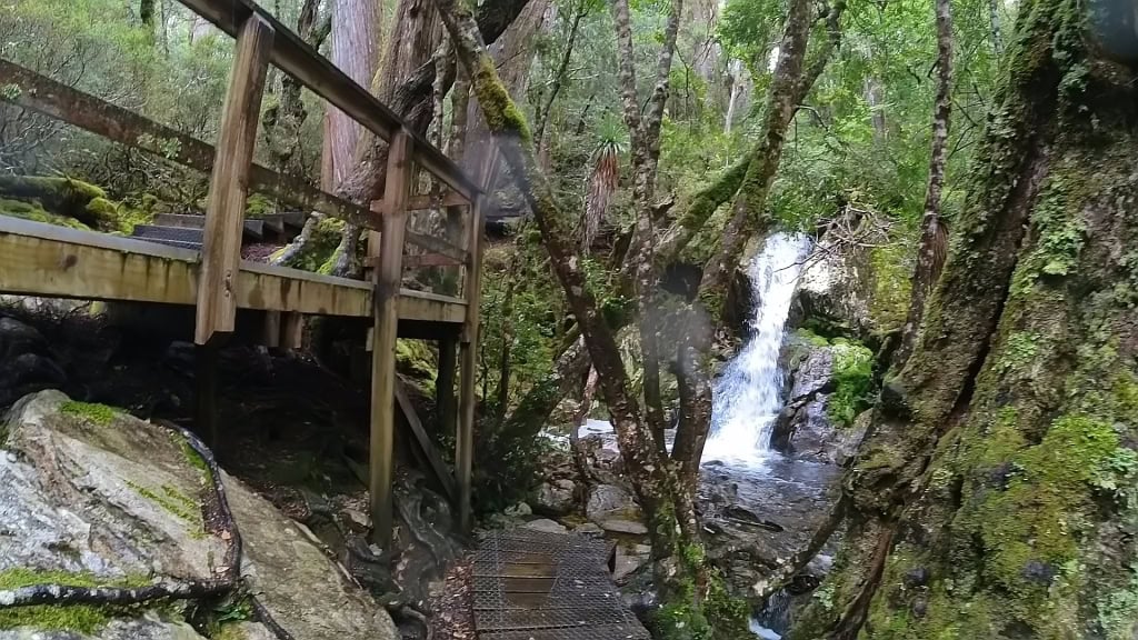

They had a much clearer day (sometimes) than us – they actually saw some mountains – which we did not. Then the heavens would open for them too.
But by the time they reached Crater Lake it was very wet and stayed that way. The boatshed/shelter is hidden in that mist.
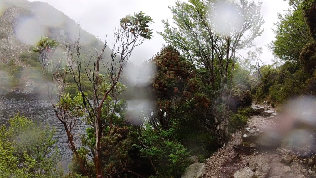
An almost complete white-out at the intersection of the Wombat Pool trail. Excellent views no doubt in fine weather. We were at Cradle Mountain for three days (two nights) and are yet to see any sign of a mountain!
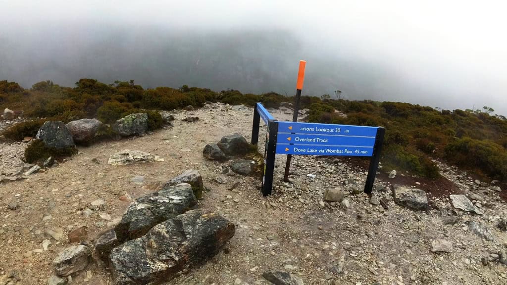
Still raining and blowing as they climbed – imagine being knocked off that by ninety mile per hour winds.
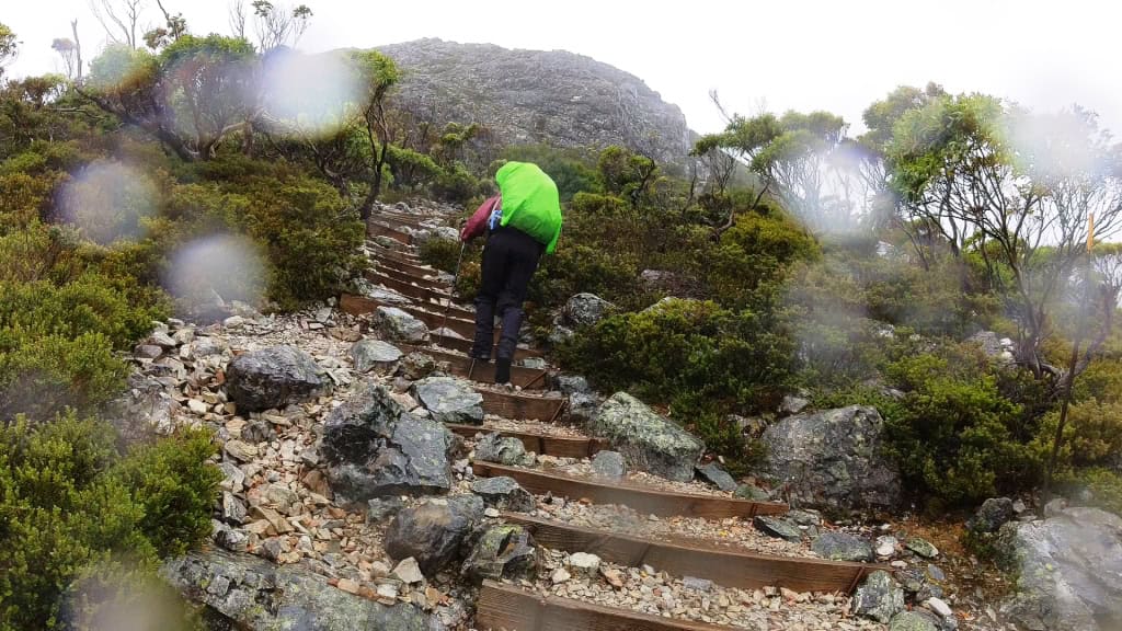
Going up to Marion’s Lookout.
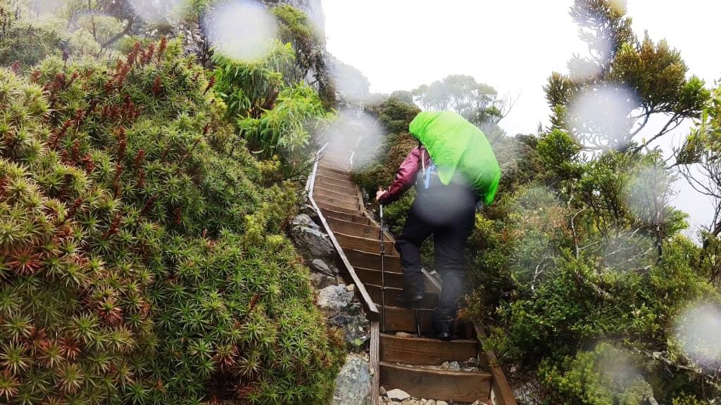
Then very very cold and wet (as well) along the tops.
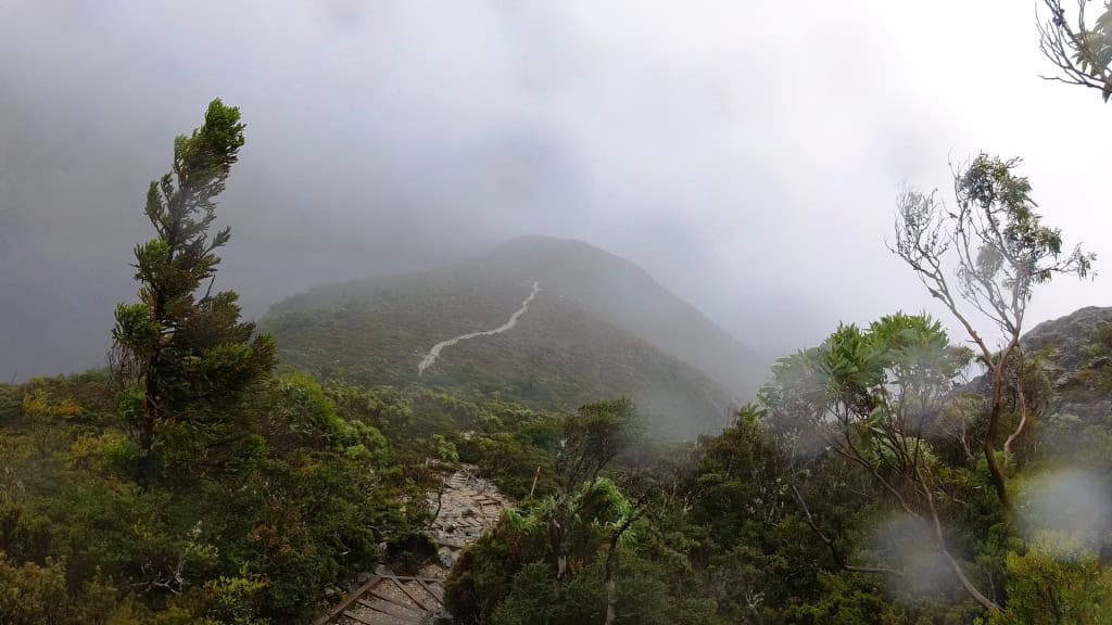
A cold, forbidding landscape. How beautiful it might be on a fine day.
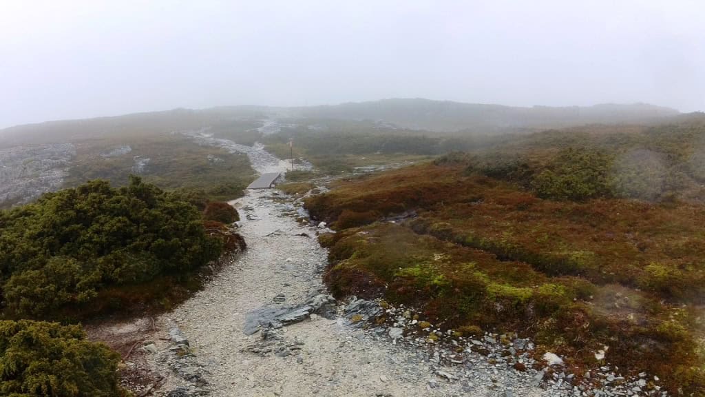
Perhaps even be able to see the Cradle Mountain.
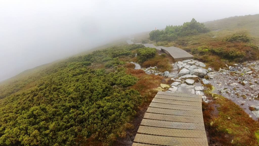
Up and up and up.
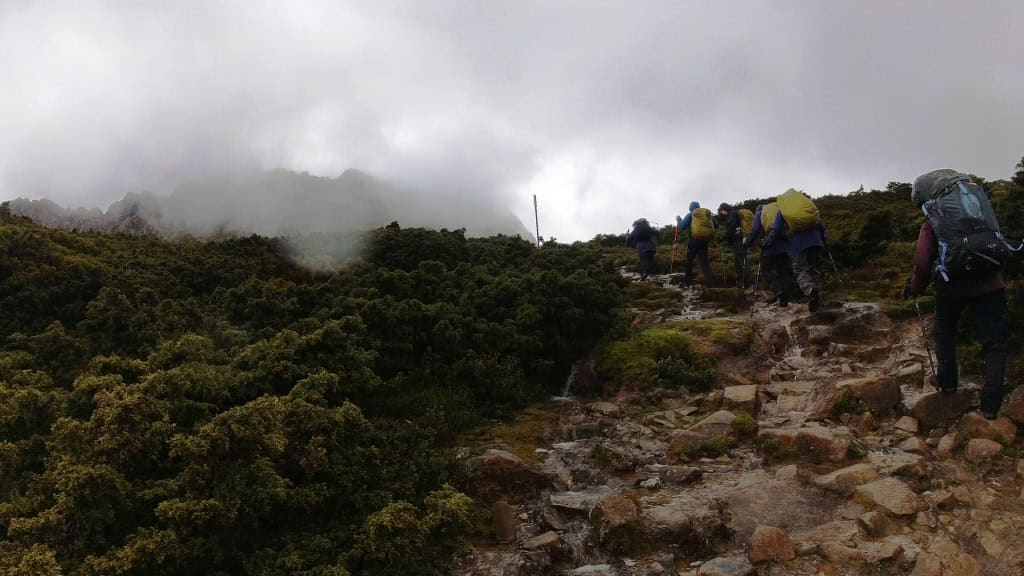
Just so cold and wet.
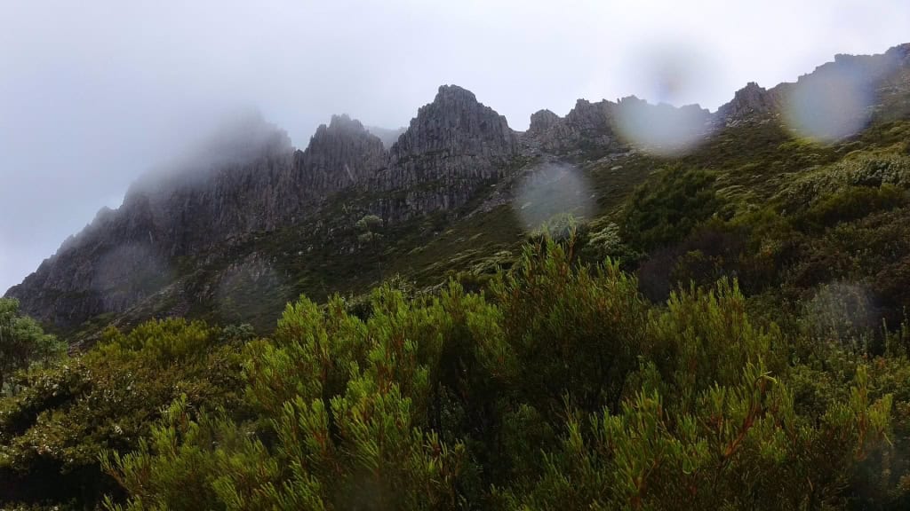
Looking across to Cradle Mt.
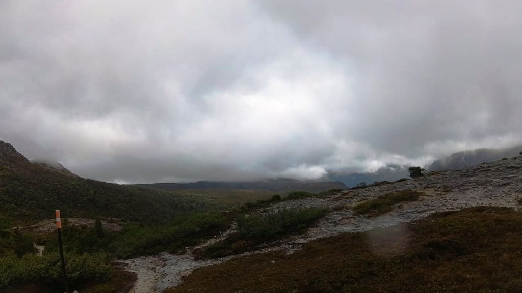
The wind still blowing strongly on the tops though – as you can see – Waterfall Valley 2 hours ahead still.
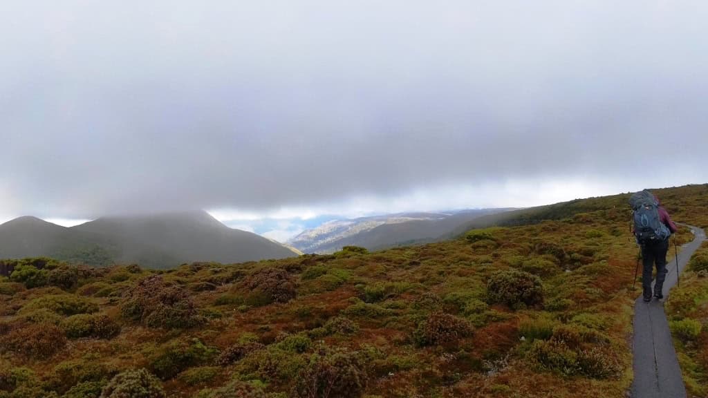
Day 2: Waterfall Valley to Lake Windermere (7.8 km Suggested 2.5-3.5 hours)
This is a much more leisurely (almost level) section.
The whole track is not particularly muddy any more in 2024. About 30% is boardwalks.
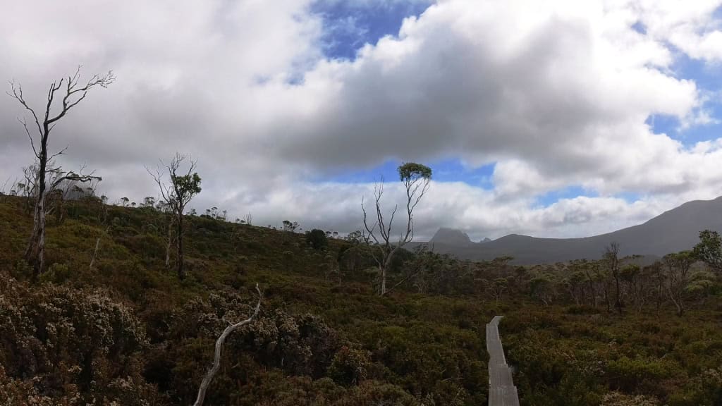
Looking back towards Waterfall Valley and Barn Bluff.
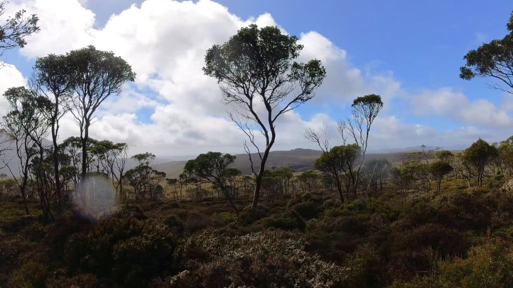
Some views creeping in. Lake Holmes
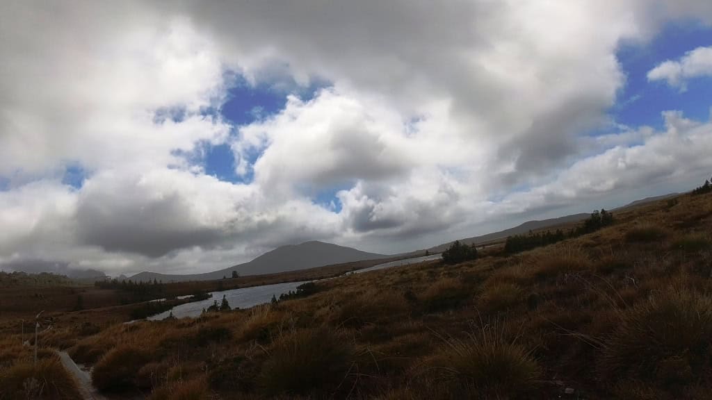

The wonderful russet colors of those tussock tops in that light. Looking West towards Waterfall Valley and Windermere.
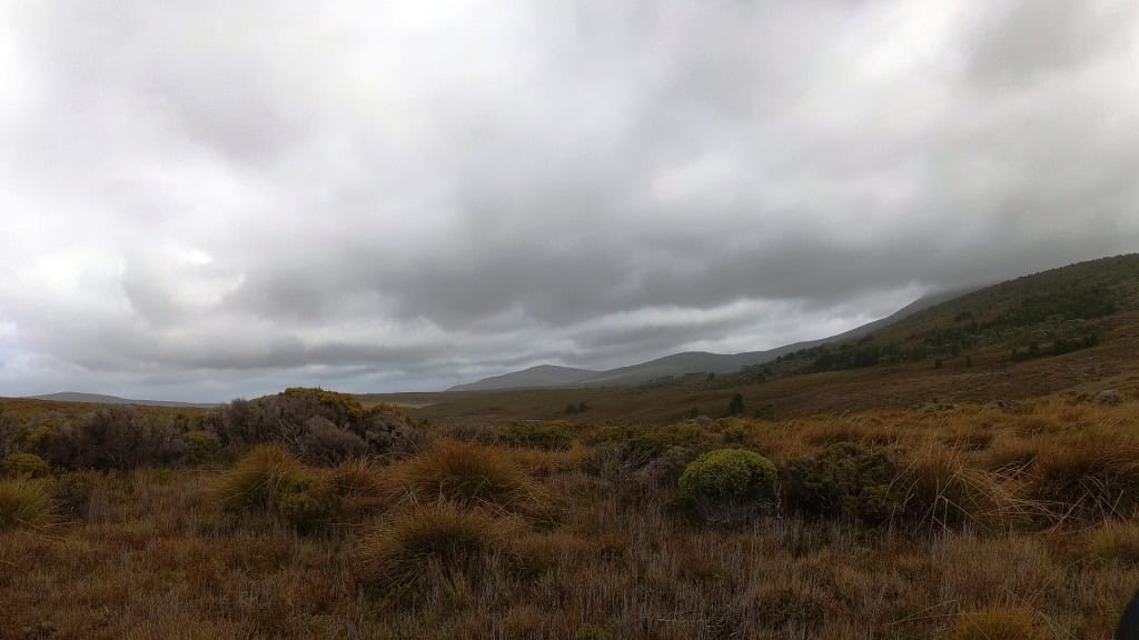
The ubiquitous Barn Bluff looming in the background.
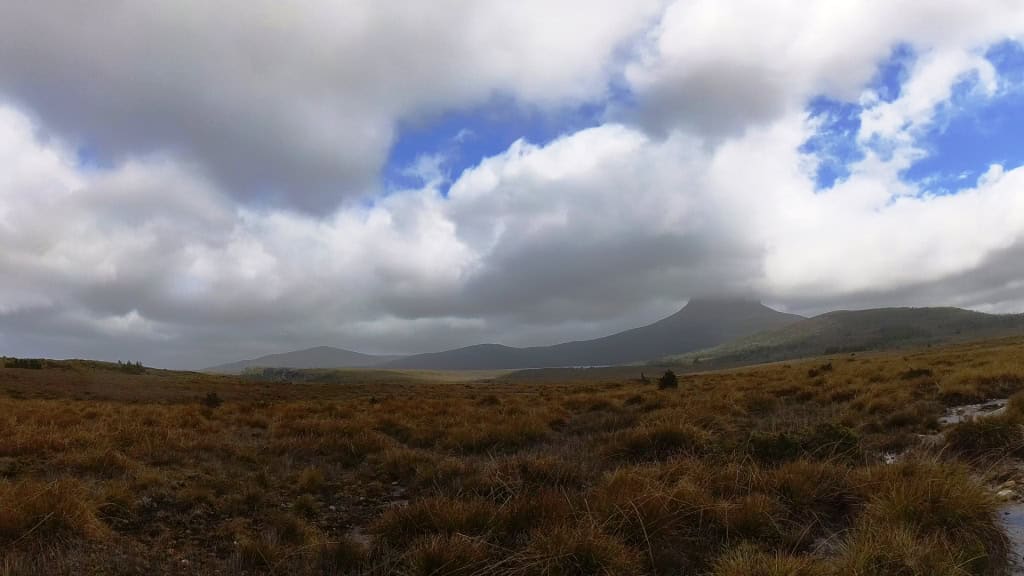
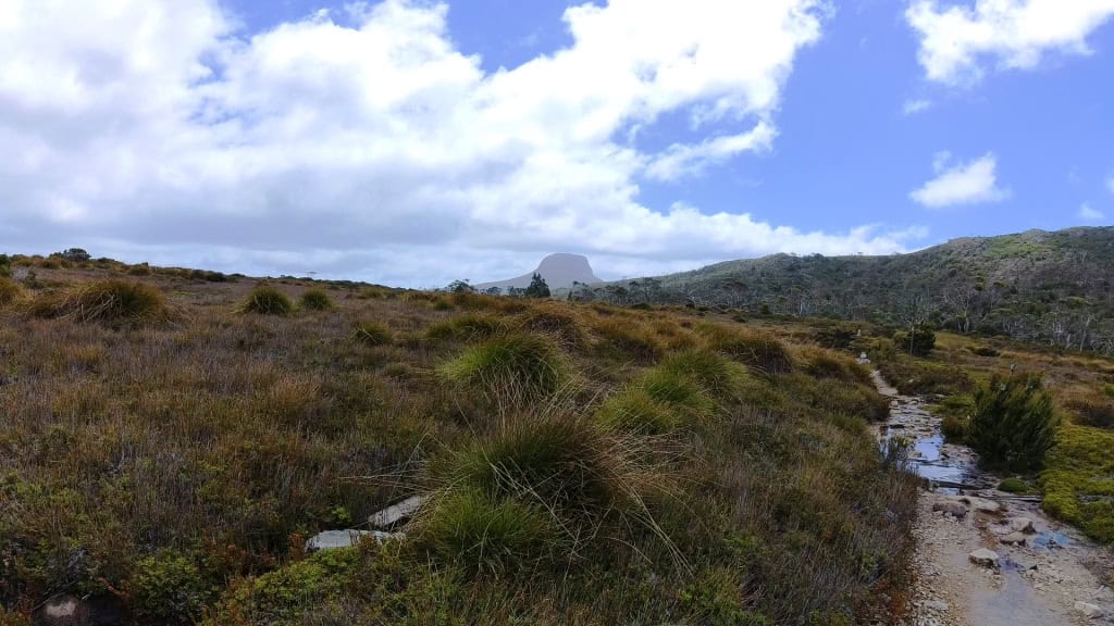
Every hut by the way has a helipad and a Ranger (who checks passes etc)
Day 3: Lake Windermere to Pelion Hut 16.8 km (Suggested 5-7 hours)
Farewell and Bon Voyage to Kim (and another injured lady hiker).
Apparently it was fairly difficult to persuade the Parks Rangers that you were injured enough for a ‘Medevac’ unless your limbs were quite clearly bent and broken or you had blood jetting out of you (something to remember). I have found public servants to be ‘helpful’ like this myself. It was also very difficult to phone the (unattended) helicopter offices for yourself to arrange a private flight.

Morning at Windermere. Barn Bluff tinged with the dawn.
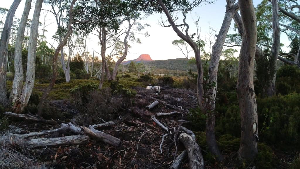
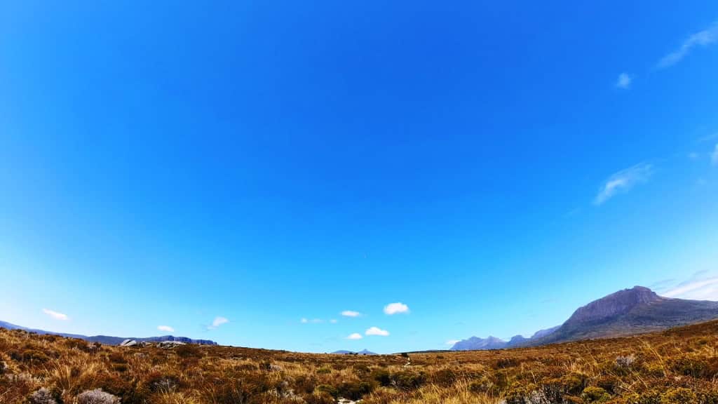
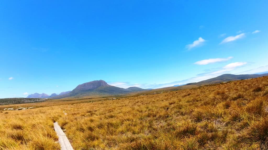
Pelion West
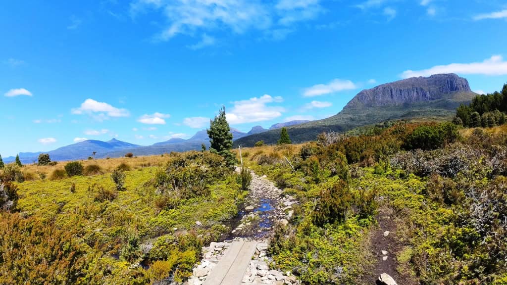
and Mt Proteus
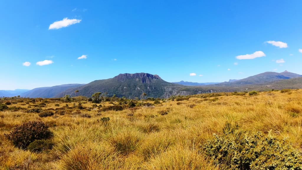
Quite uplifting.
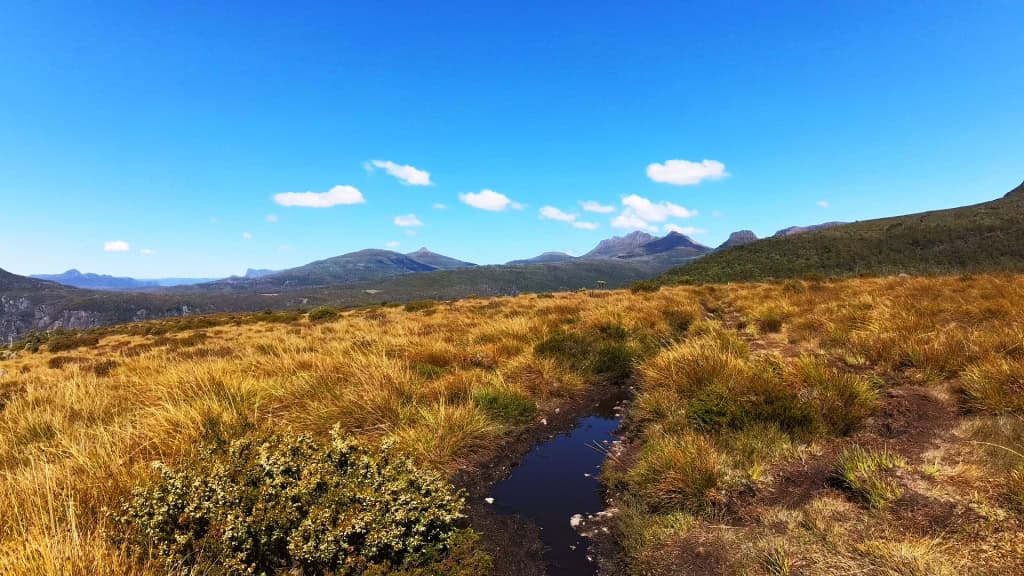
Pelion West
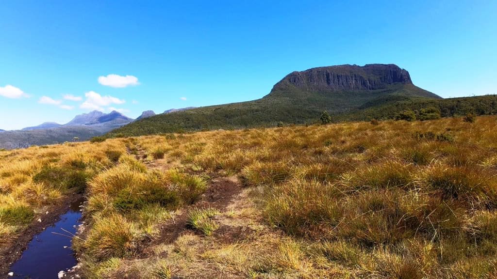
Frog Flats . Background: Mt Thetis and Mt Achilles.
Aside: As a retired Classics teacher I am delighted at all these wonderful (Greek) place names. Clearly the first people in there were steeped in the Homeric tradition.
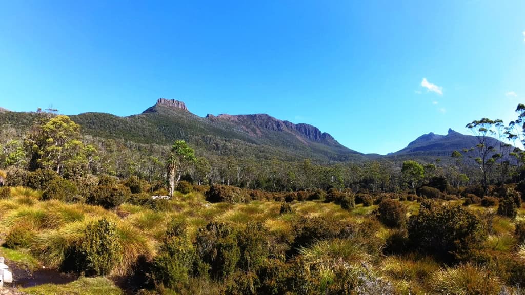
Mt Ossa and Mt Doris
Looking up to Mt Ossa Tassie’s highest peak.
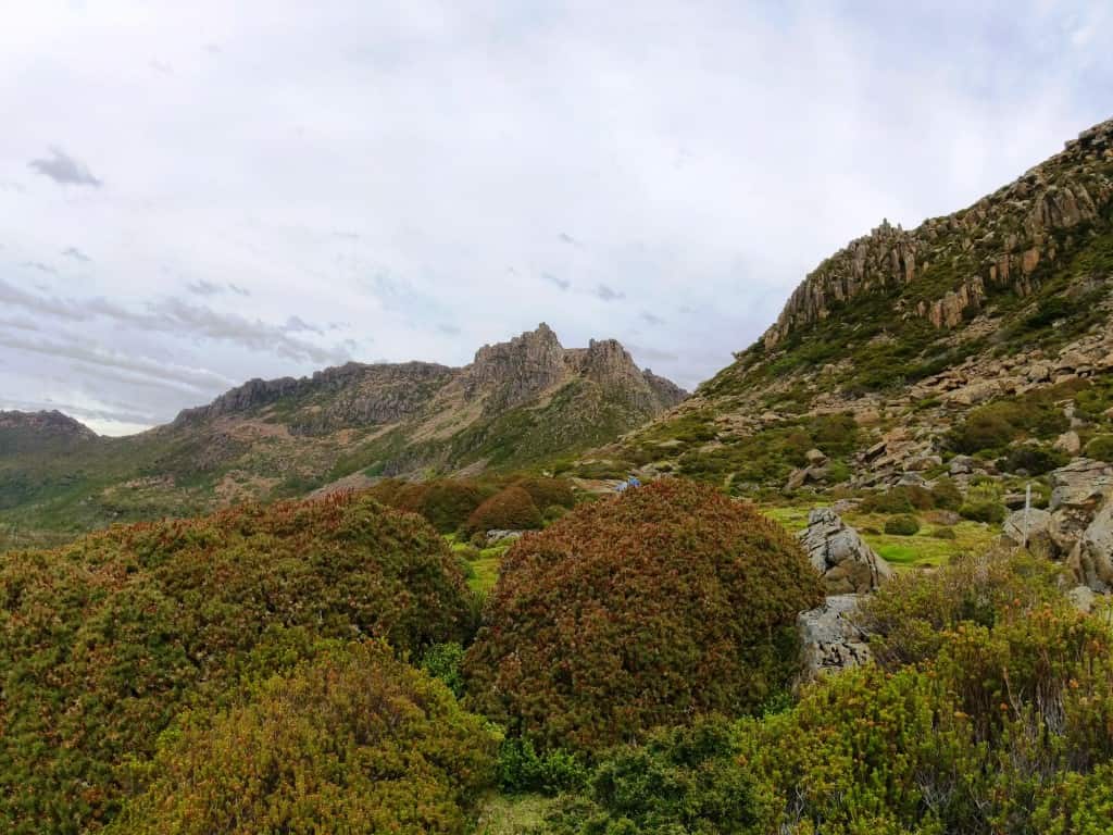
Track leading to the ‘Japanese garden’ on the side of Mt Doris. A cloud-watcher’s paradise.
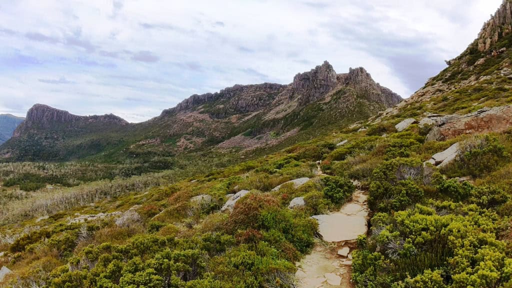
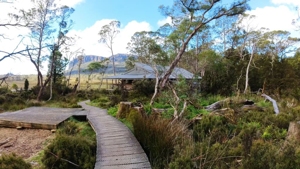
Day 4: Pelion Hut to Kia Ora Hut 8.6 km (Suggested 3-4 hours)
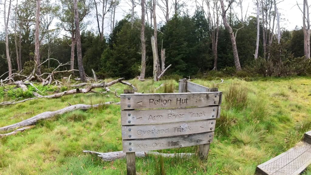
Setting out from Pelion Hut

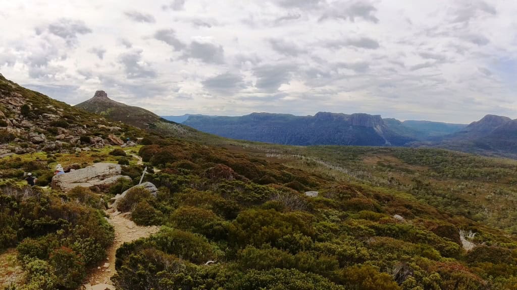
These button grass plains/swamps would have been pretty muddy before they put in the boardwalks.Looking across Pelion Gap towards Mt Pelion East.
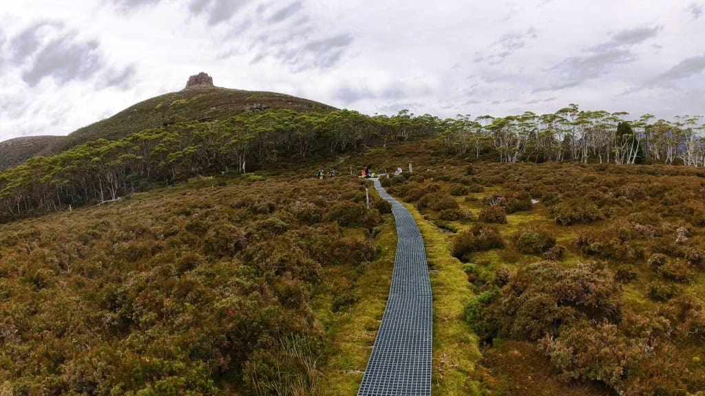
Pelion East
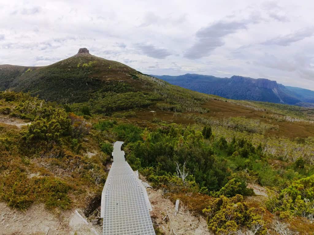
Looking over Pinestone Valley
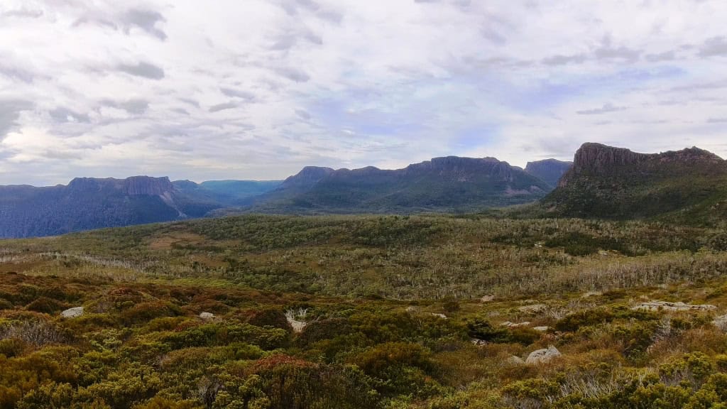
Notice the snow-poles. You can walk the track (without booking) out of season but snow would be a big risk.
Pelion Gap
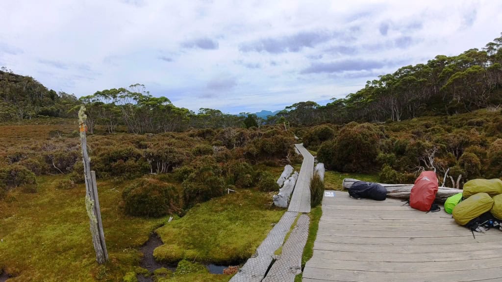
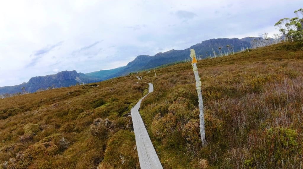
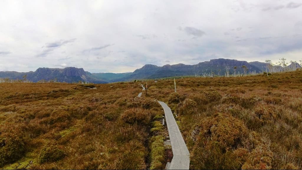
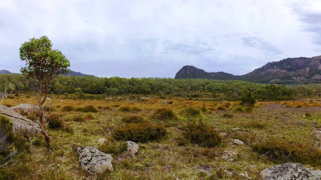
Between Pelion Gap and Kia Ora Hut.
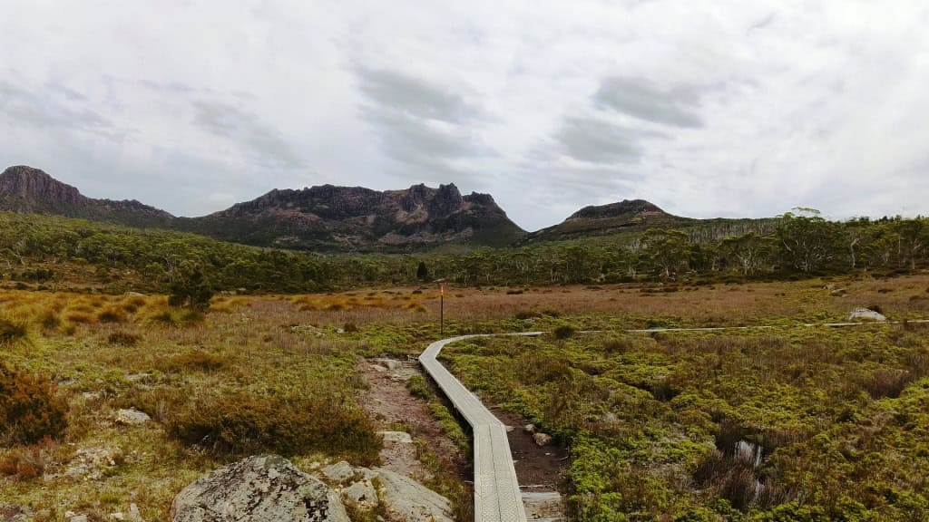
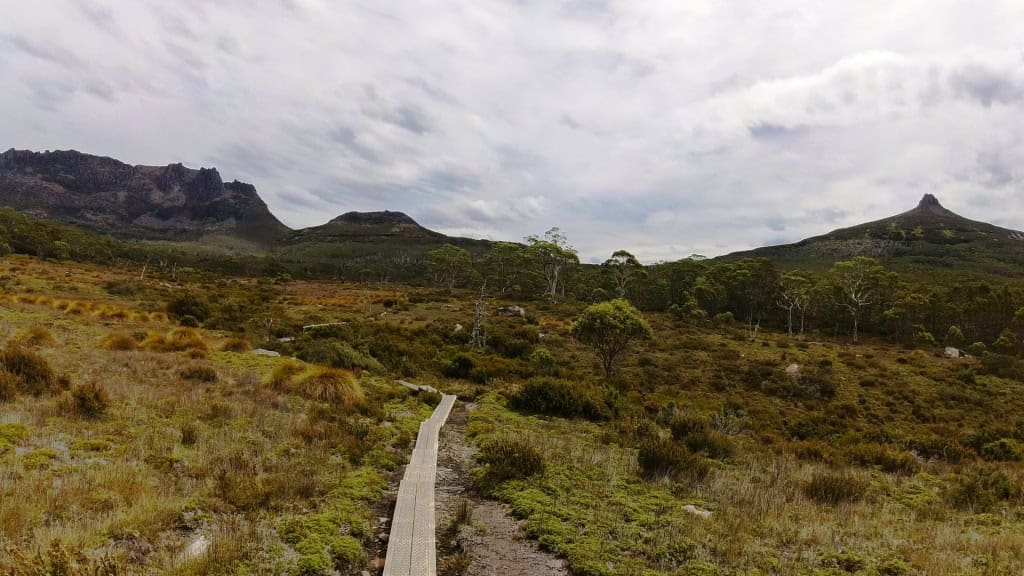
Looking over Pelion Gap towards Pelion East
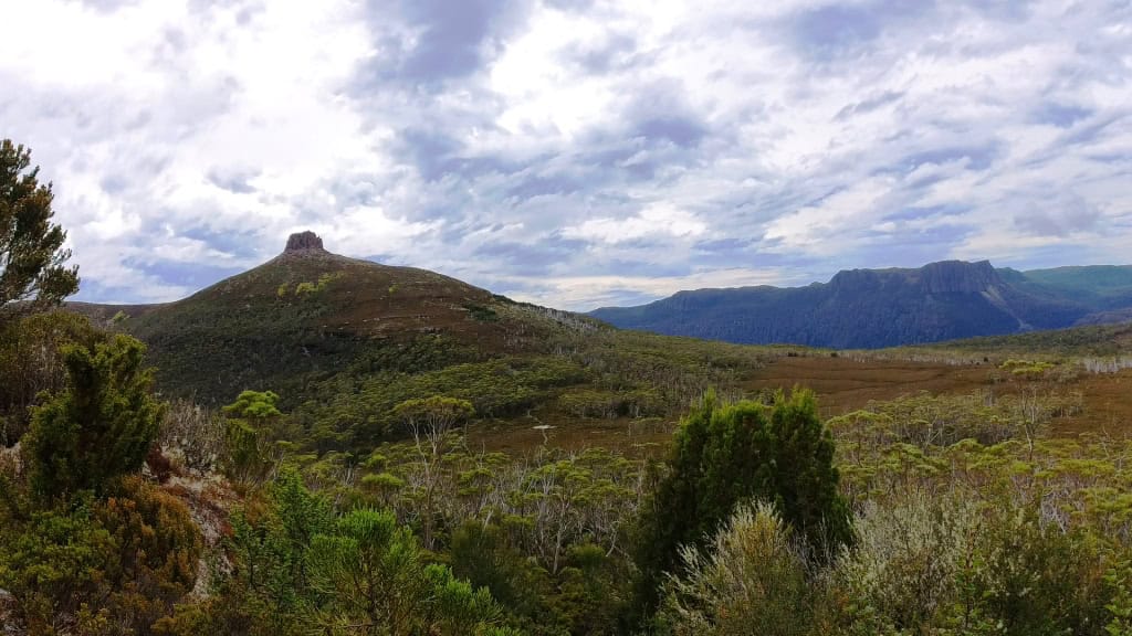
Barn Bluff still in the distance
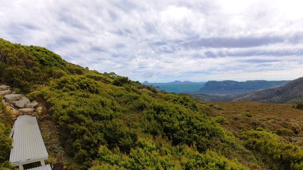
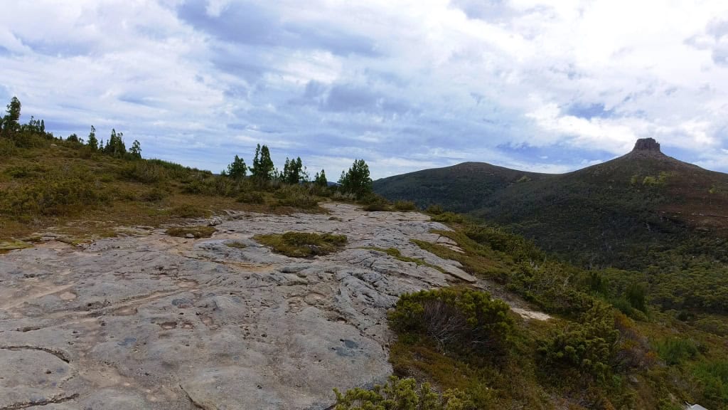
Pelion East
Day 5: Kia Ora Hut to Windy Ridge Hut (Via Du Kane Hut) 9.6 km (Suggested 3.4-4.5 hours)
Kia Ora Hut
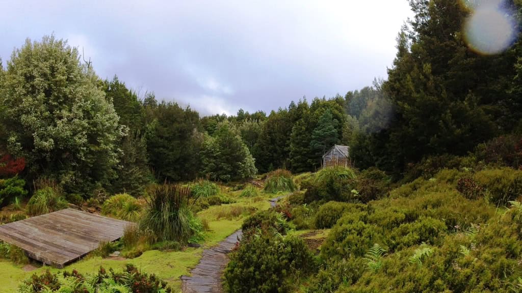
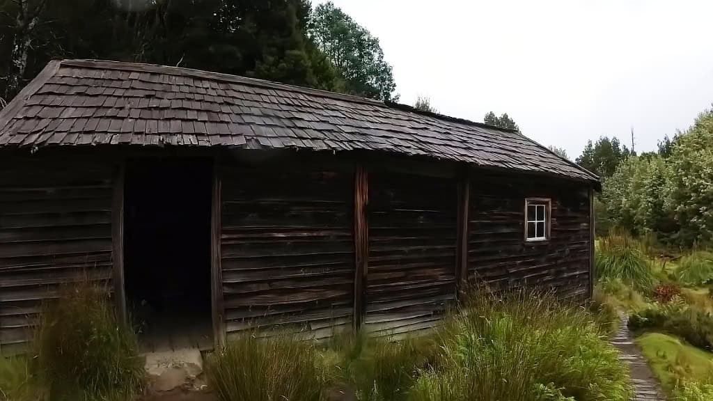
Du Cane Hut – no camping
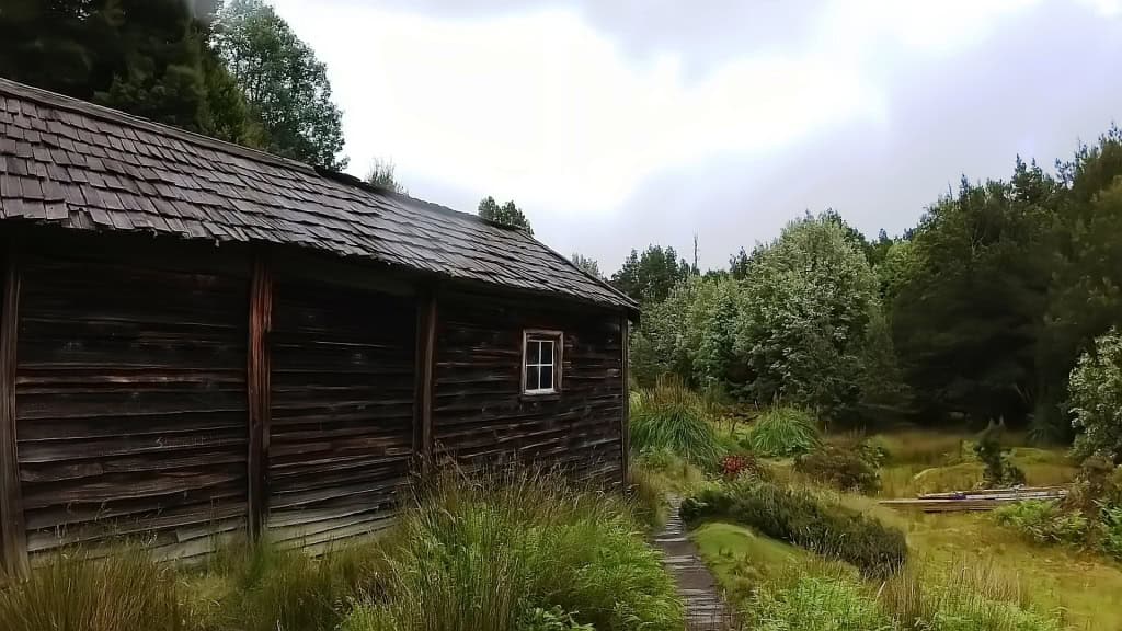
Interesting example of shingle construction.
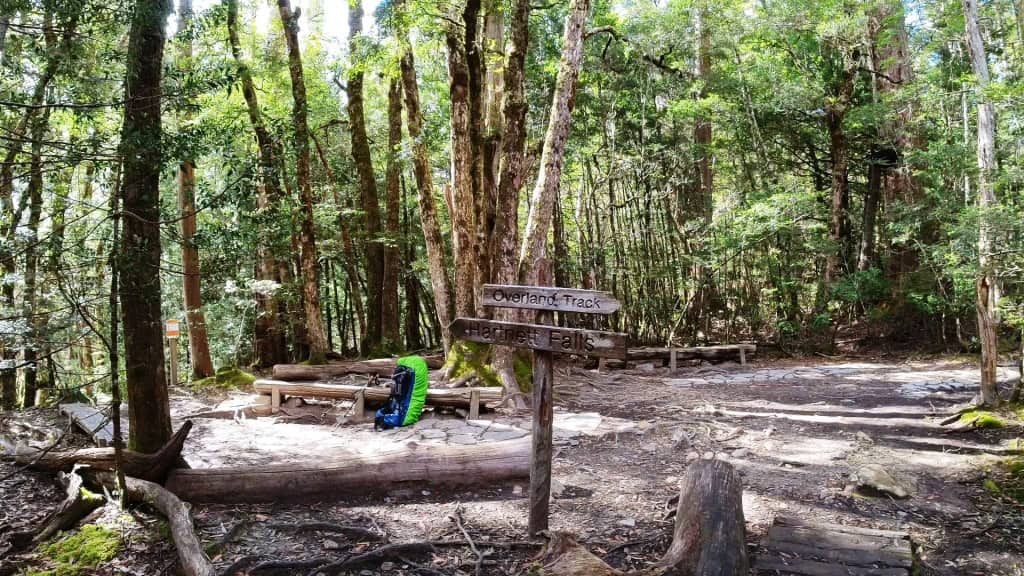
Turnoff to Hartnet Falls
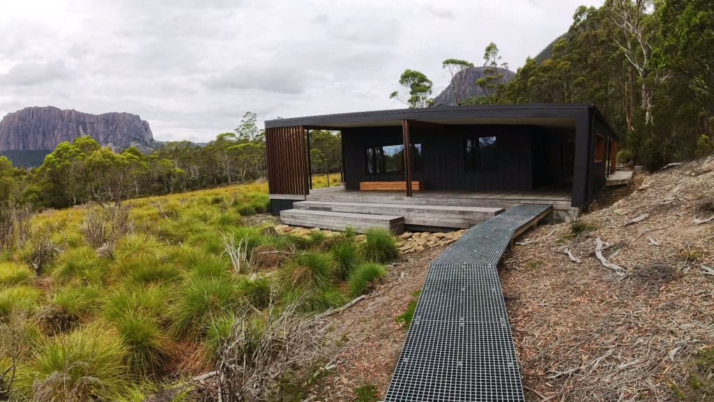
Windy Ridge Hut The Acropolis and My Geryon in the distance
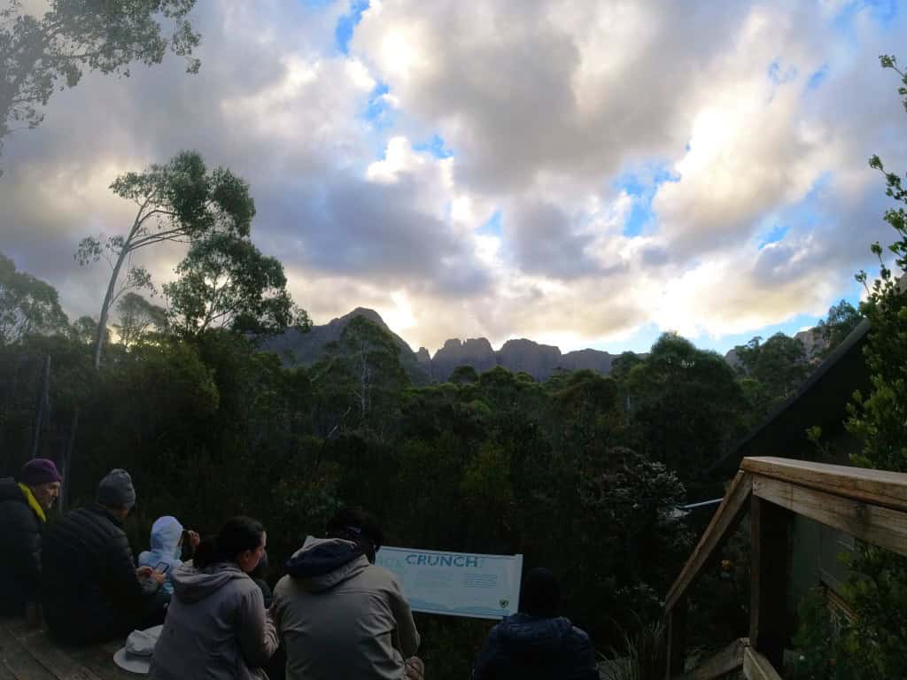
Burt Nicholls/Windy Ridge Hut
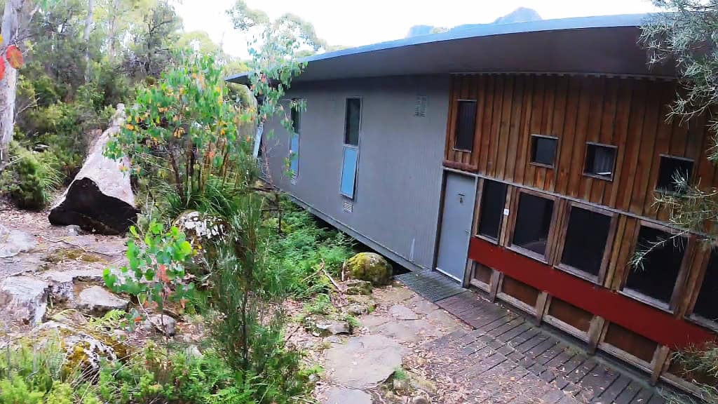
Tent platforms. These could be difficult to pitch an unframed tent on.
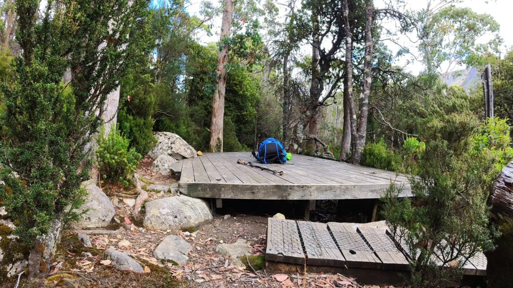
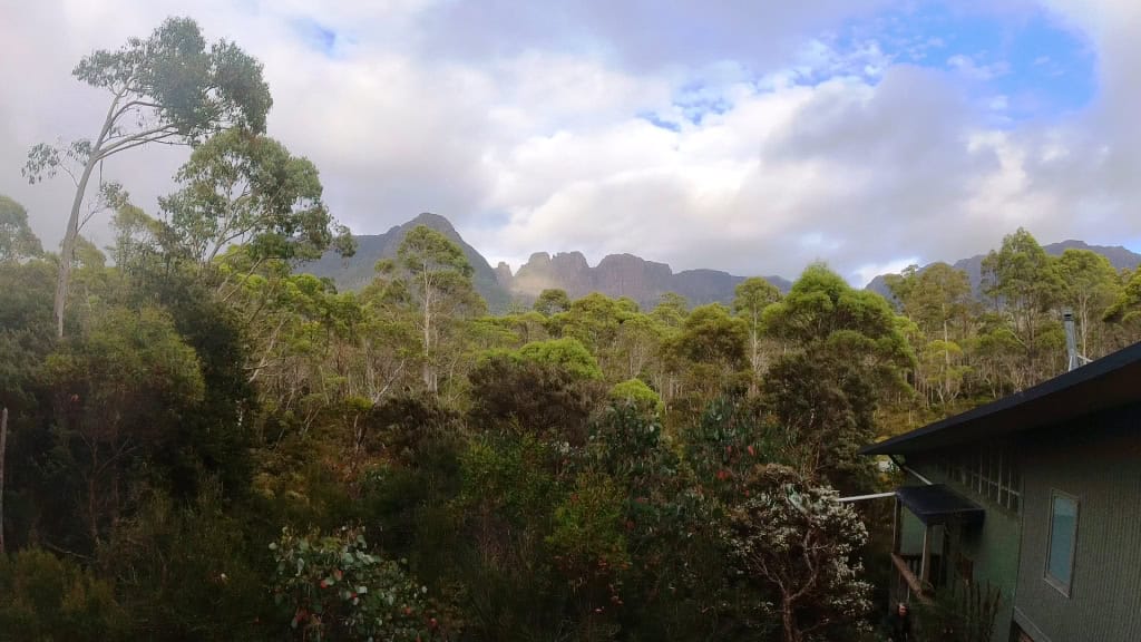
Windy Ridge Du Cane Range in the distance
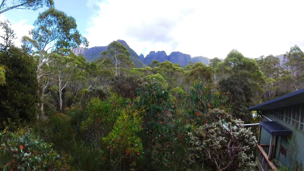
Burt Nicholls Hut
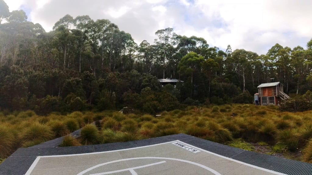
Day 6 Windy Ridge Hut to Narcissus Hut 9 km (Suggested 3-4 hours)
Some beautiful rain forest in this section.
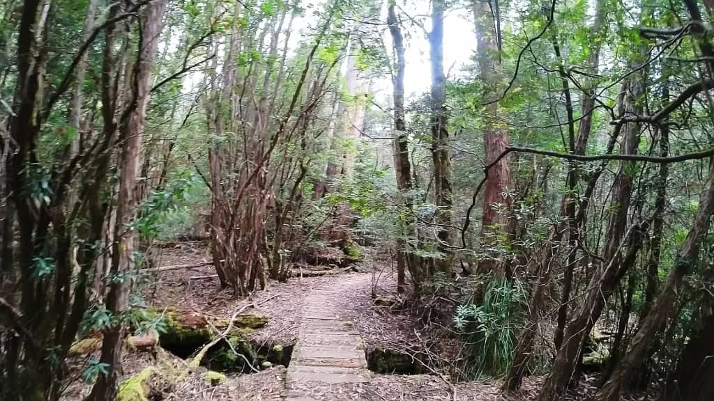
There are obviously places you could (wickedly) camp off-track with a tent or hammock.
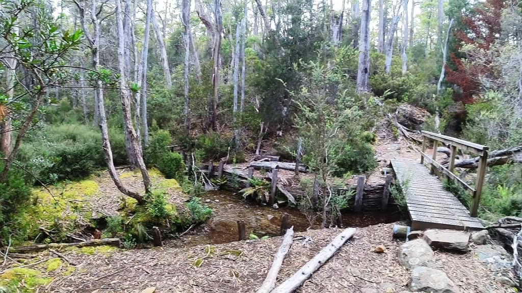
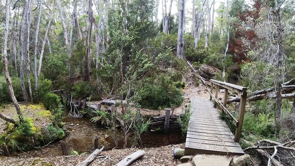
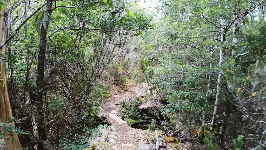
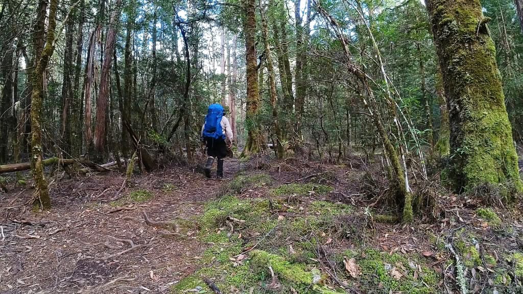
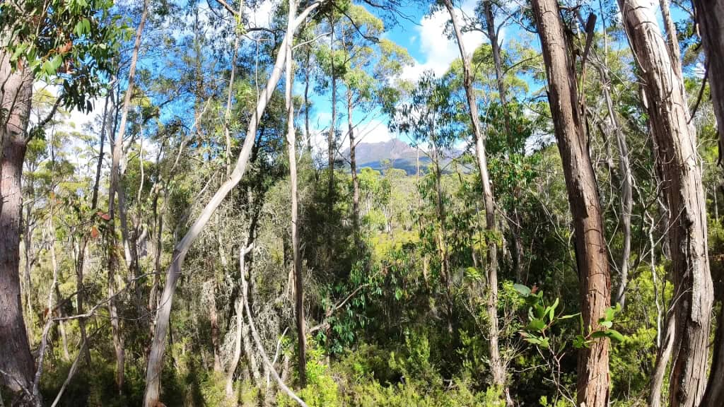
It is such a nice break from open tops.
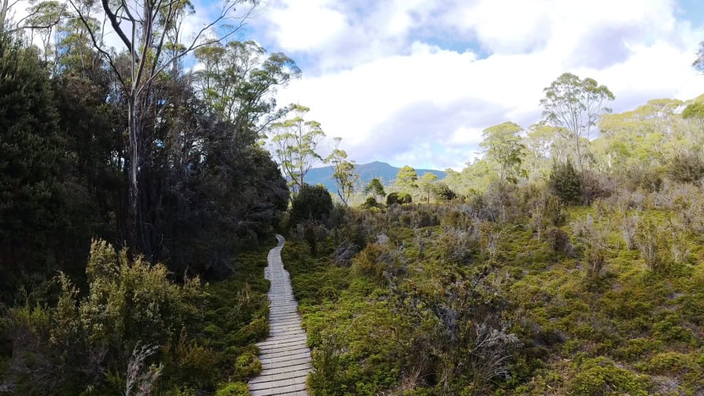
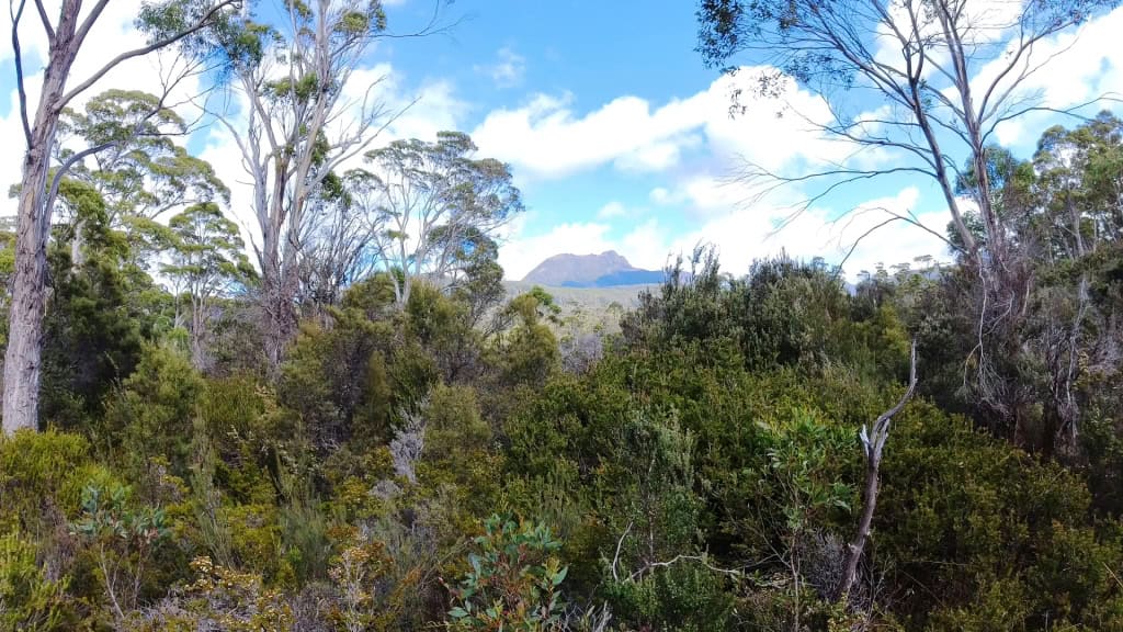
Mt Olympus: As you wind down to Narcissus looking towards/across lake .
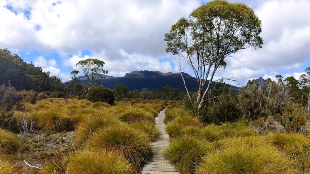
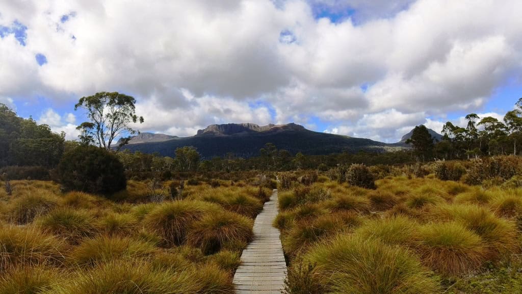
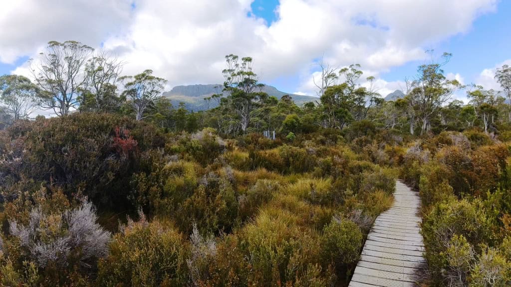
Narcissus River.
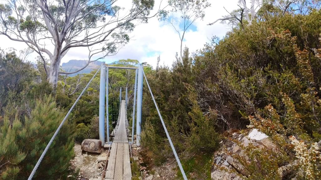
At last views of Lake St Clair. You can call the water-taxi from a radio in the Narcissus Hut. A$55 one way each in April 2024.
Mt Olympus
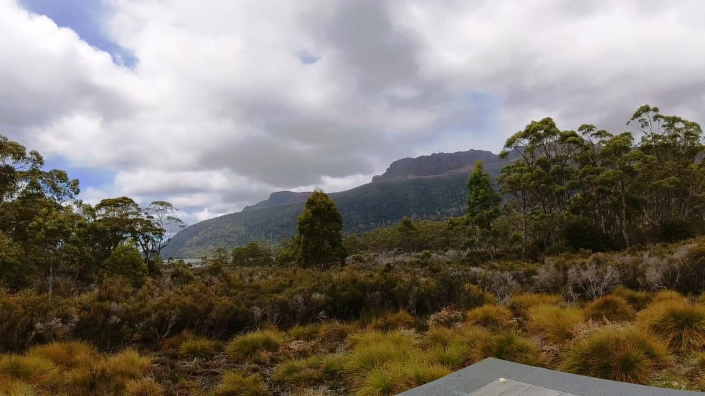
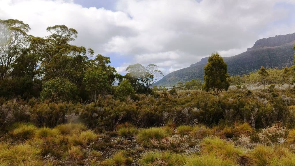
Day 7. Narcissus Hut to Cynthia Bay Via Echo Point Hut17.5 km (Suggested 5-6 hours)
Camped on the beach at Echo Point.
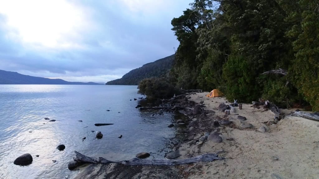
Views up and down the lake from Echo Point. Mt Ida.
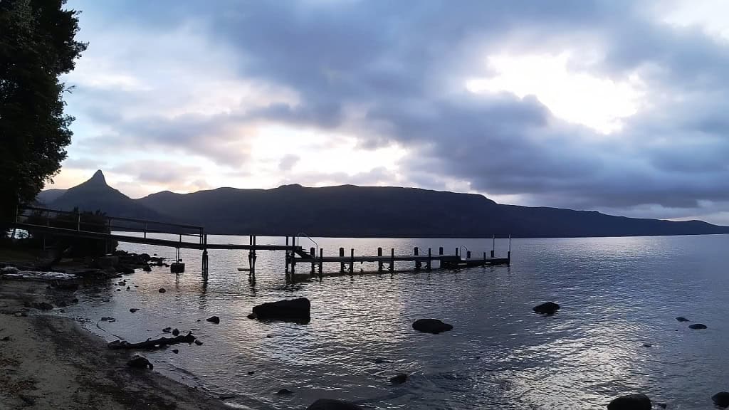
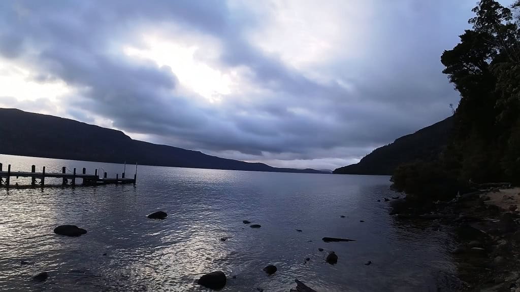
It is a pleasant 8 bunk hut though with a coal-fired pot belly stove – may be great for a fishing trip some time.
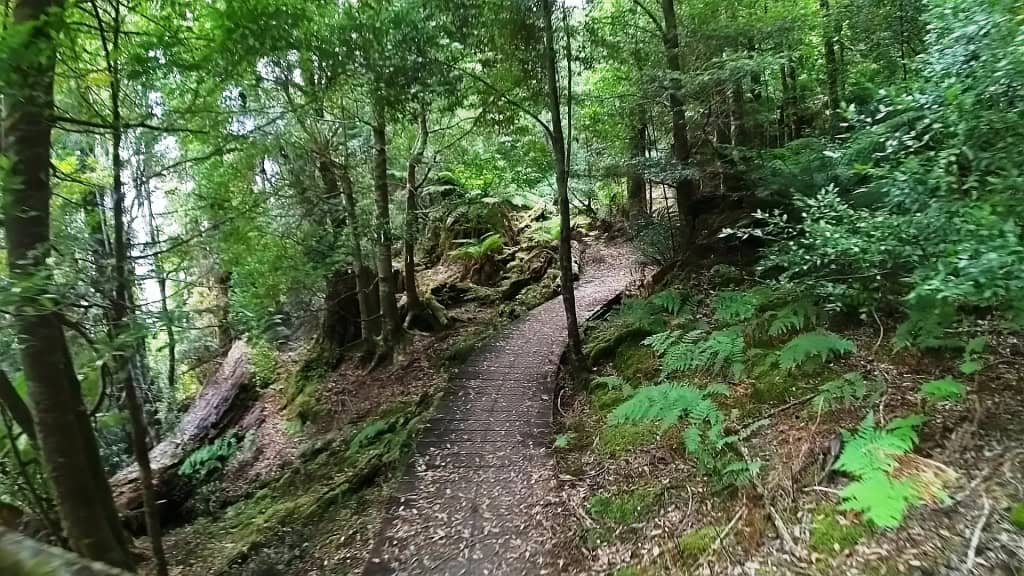
Big timber still standing in the first (unlogged) section along the lake.
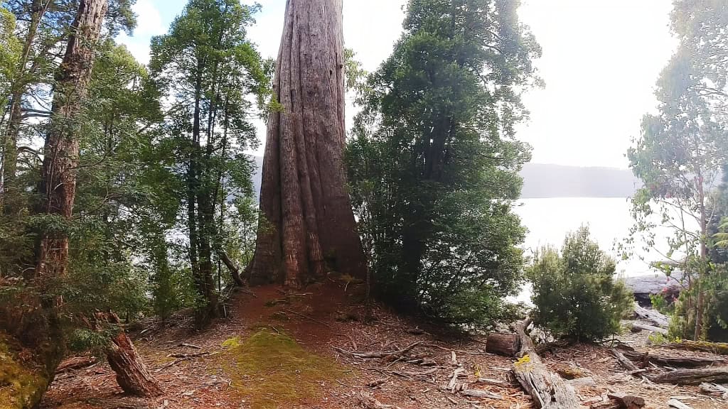
And lots of views of the lake
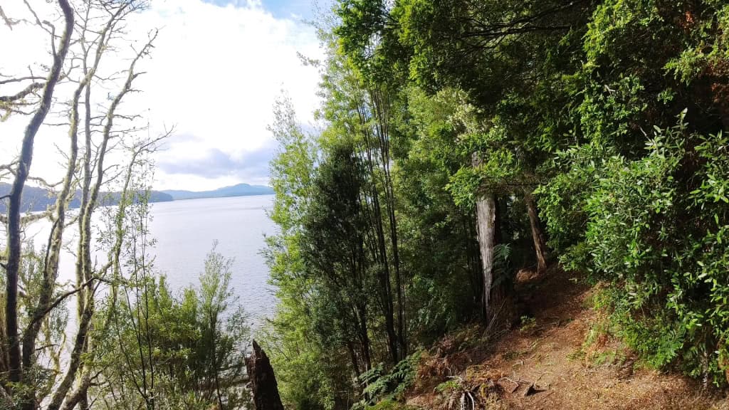
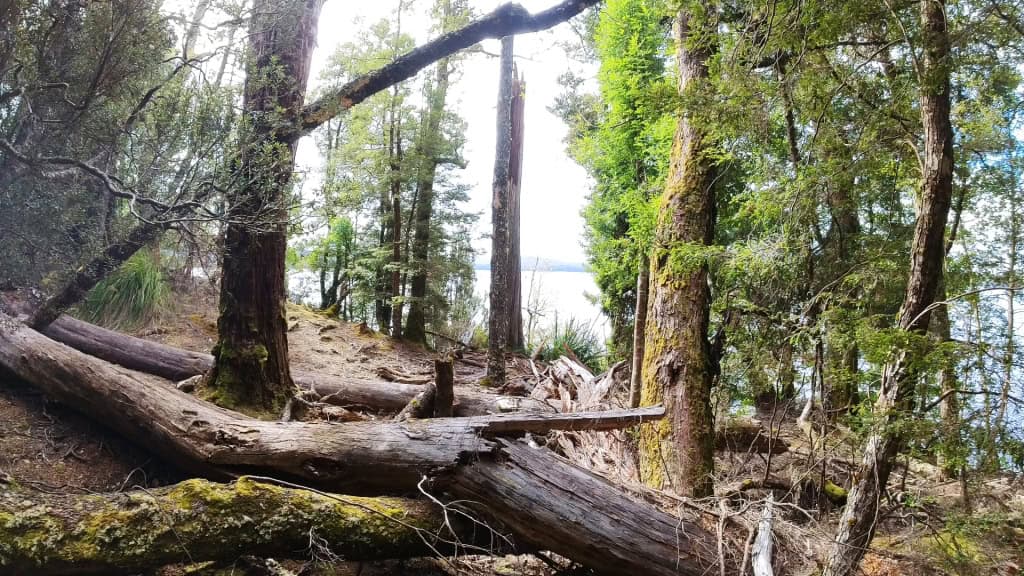
Only 1 km to go!
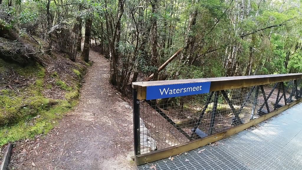
The Lodge and Visitor Centre coming into view.

Cynthia Bay at last!
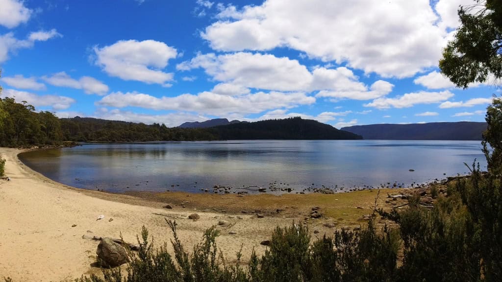
It was much clearer (for Brett) than when Della and I were there (no view at all). Tassie weather is very changeable.
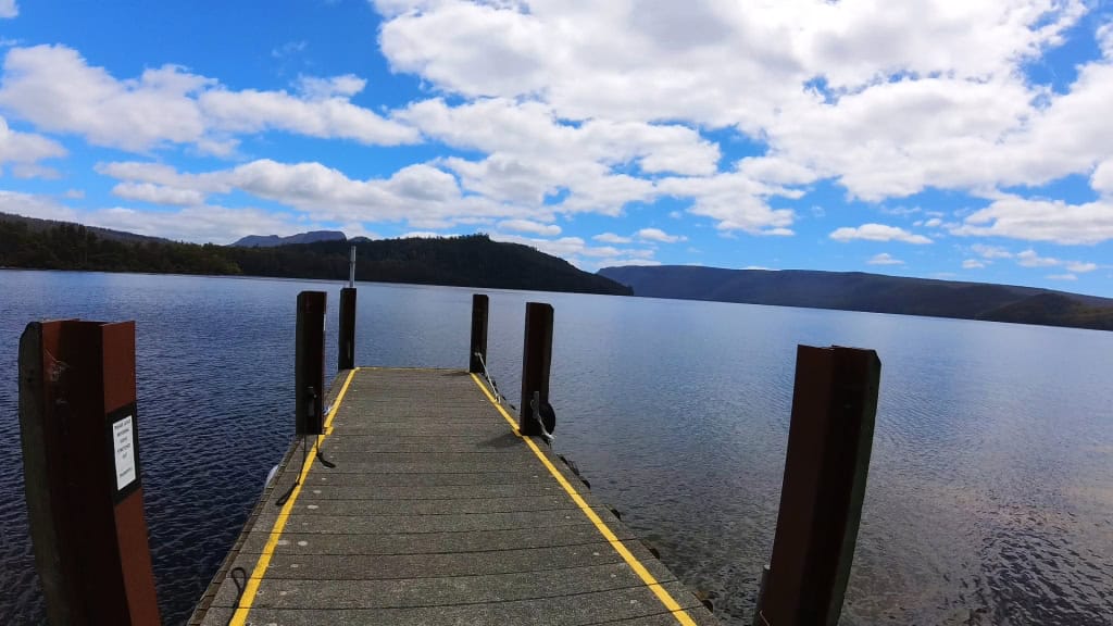
Compulsory triumphal selfie.

NB: Additional shelters and camps. You can shelter at the Crater Lake boat house, the Kitchen Hut (between Ronnie Creek and Waterfall Valley – breaking your walk on the first day out is good strategy anyway) and the Old Pelion Hut (just off-track). You can also (if you wish) shelter at the Du Kane Hut (which is only a couple of km from Kia Ora).
You can also (legally) camp on the Frog Flats (28.5 km in) between Windermere and Pelion (which is quite a long haul otherwise). There are other huts off to the side which you might visit (eg Scott Kivers and Pine Valley).
From what we saw of the section between Echo Point and Cynthia Bay there were spots you could pitch a tent or swing a hammock (though – no doubt – this is verboten).
Having watched Brett & Kim’s video and studied his photos (plus discussion) there are clearly other places you might (wickedly) camp in a tent or hammock off-track.
If I were going to walk this track I would probably do this all the time (and risk prosecution/persecution) rather than stay in the huts because I am not particularly sociable, and I have been making tents which double as hammock tarps anyway, so I can more easily find a place to stay.
Of course I would book and pay – someone must maintain the track after all. I can’t abide folks who won’t pull their weight. Just that I would want to avoid the crowds, as I always do.
As I have mentioned the Avenza App and the free map ‘Cradle Mountain Run 2024’ are very useful to have on your smart phone. if you want to walk this track.
See Also:
Tasmania’s Overland Track Last Day
A Taste of Tasmania’s Overland Track
South Coast Track – Hell’s Holiday
