Tongue Point and Fairy Cove, Wilsons Prom, Gippsland, Victoria, Australia: A magical 20C winter’s day yesterday, so time to try out Della’s new heart and my new pack http://www.theultralighthiker.com/the-stout-hikers-pack-2/ with a walk in Wilson’s Prom NP, Gippsland, Victoria. I will let her begin: ‘Return to fitness #2: Beautiful winter day and further heart progress – Steve and I did a 10 km walk at Wilson’s Prom, Darby River to Tongue Point, including a side trip to the delightful Fairy Cove. Daily workouts of an hour’s fitness class plus an hour of walking have boosted my heart stamina. More progress planned: Perhaps a trip to Cairns next month to climb Mount Bartle Frere… onwards and upwards!’
NB: The walk from Darby River is easy with just gentle inclines. Including the .5km each way side trip to Fairy Cove it is approx 5km each way and takes about 1 1/2 hours each way plus lots of stops for snaps and snacks! It is a much steeper track down from Darby Saddle and not so scenic!
PS: Pack update on a 10km walk yesterday (14/07/2017) with a load (5-7kg). It was brilliant. Did not need the chest strap at all. The shoulder straps had zero inclination to slide off my shoulders. Also with the waist belt done up quite loosely, the load still just wanted to rest in the small of my back. There was no weight at all on my shoulders. I could slip my fingers in the behind the shoulder straps any time. There was no load pressure there at all. I did get a wet back (expected) – it was a warm day (approx 20C. I will be trying a Sitlight pad attached like this: http://www.theultralighthiker.com/sleeping-pad-pack-frame/. I will also try taking a wad cutter to the Sitlight pad and filling it with holes (eg on every dent) so that water vapor has somewhere to go. I will report back about this innovation later. With the addition of some sewn on pockets, I think this is going to be a great pack!

View of Darby River flats

It is a well-formed track. Mostly sand and gravel with walkways over any wet sectiions

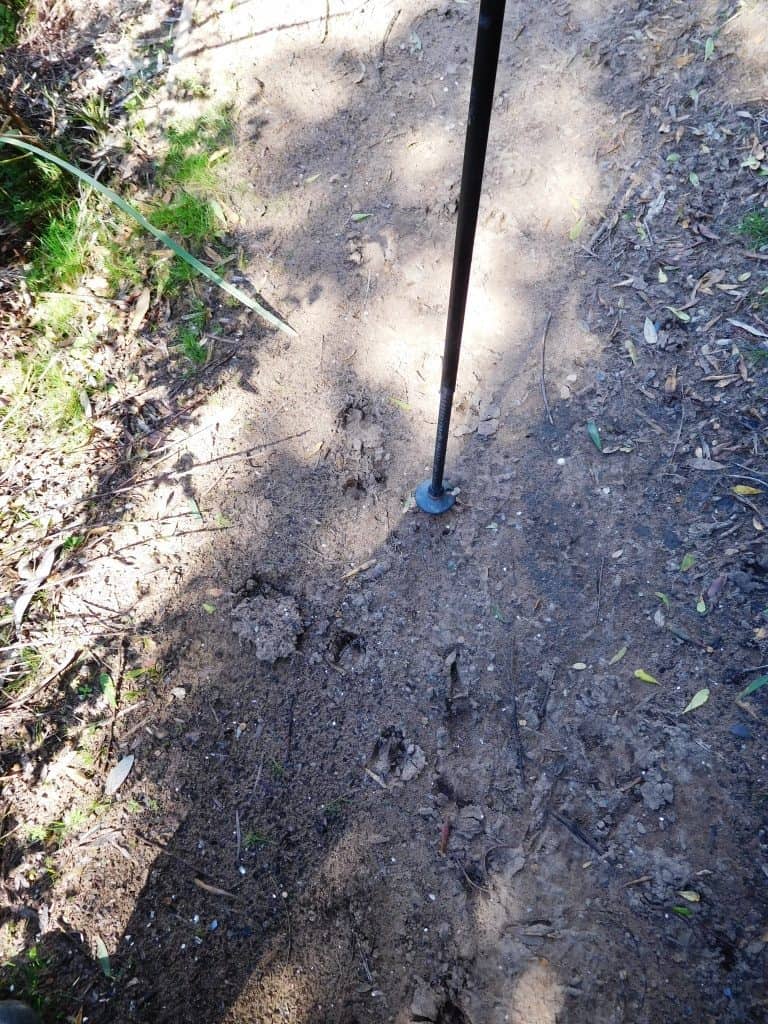
Plenty of hog deer sign
Shellback Island
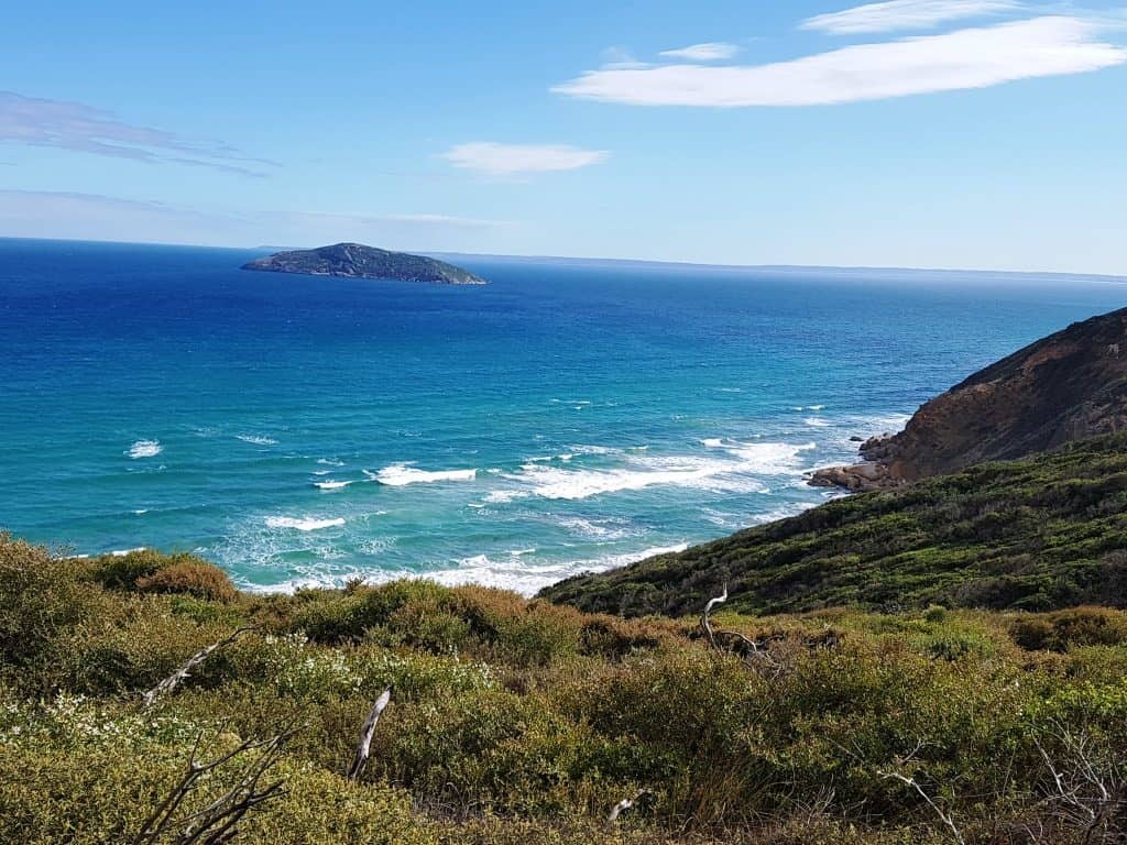
View North Waratah Bay

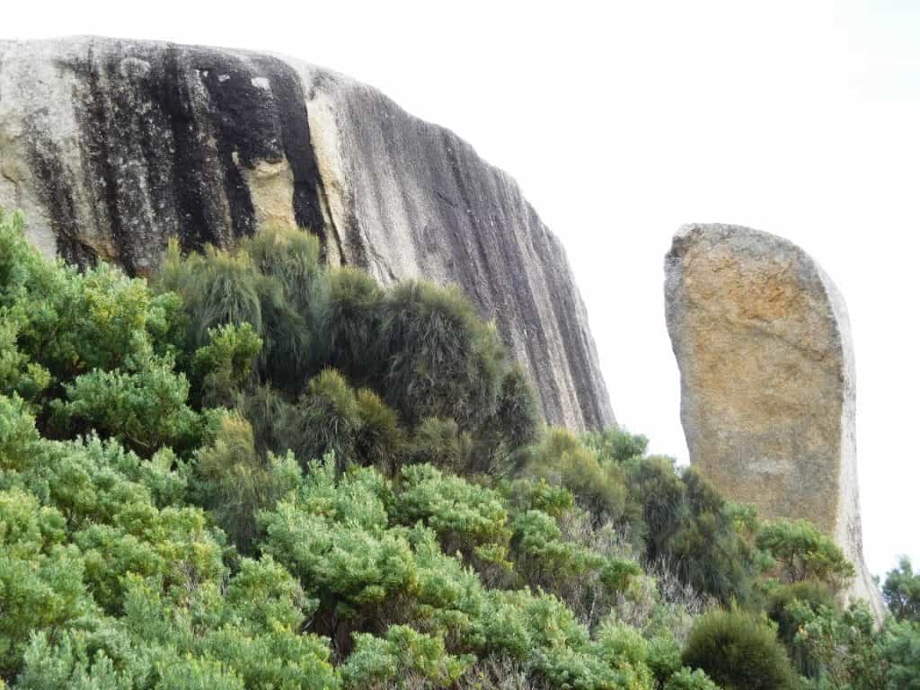
Many interesting menhirs along the way

View south Fairy Cove, Tongue Point, Norman Island
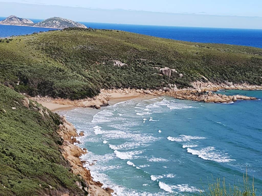

Fairy Cove, Tongue Point
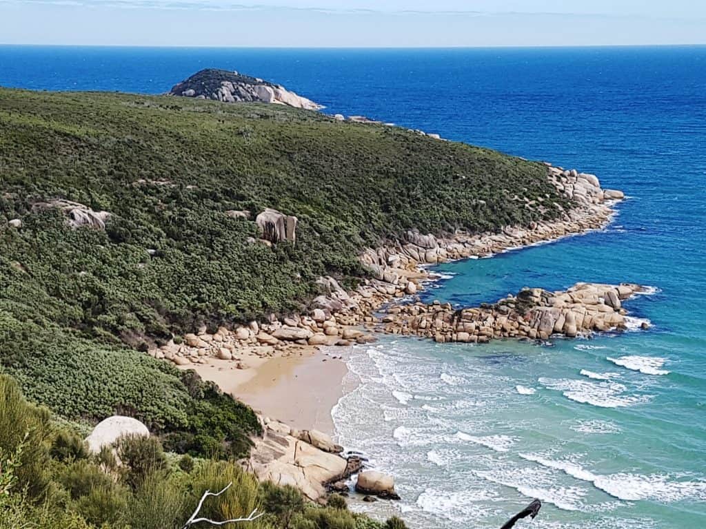
Waratah Bay, Shellback Island
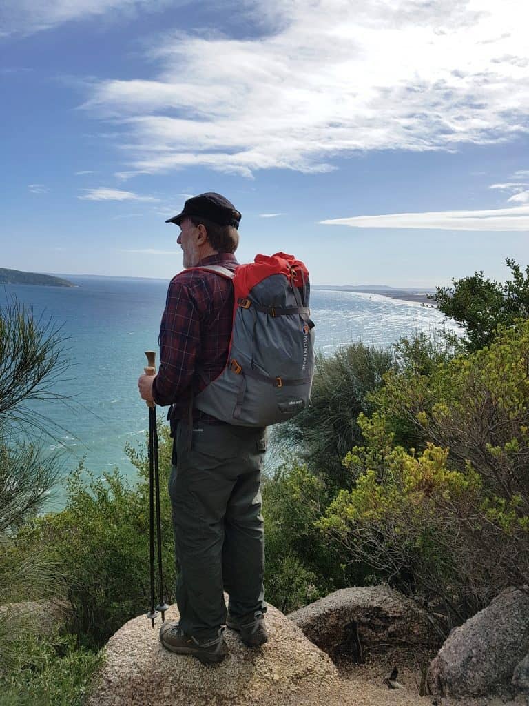
View North along the coast to Shallow Inlet

Tongue Point, Norman Island

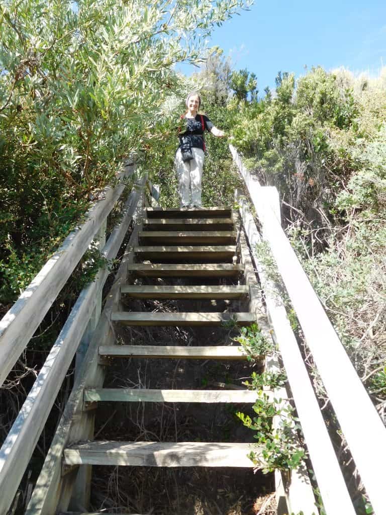
Steps down to Fairy Cove
Fairy Cove, Shellback Island. Note steel hoops, remains of a steamer funnel

View north past Darby River towards Shallow Inlet.

A funnel mermaid
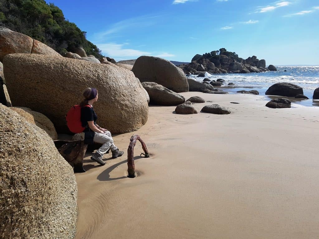
Fairy Cove
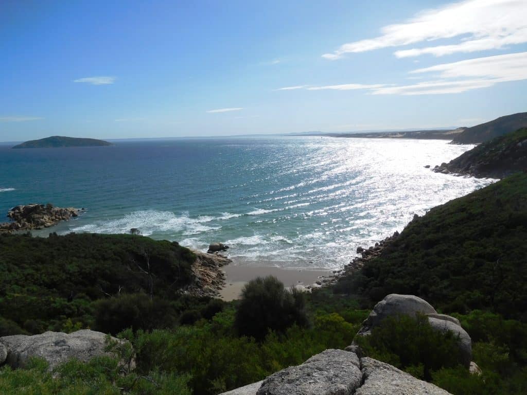
Island in Fairy Cpve 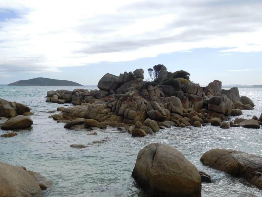
Fairy Cove monolith
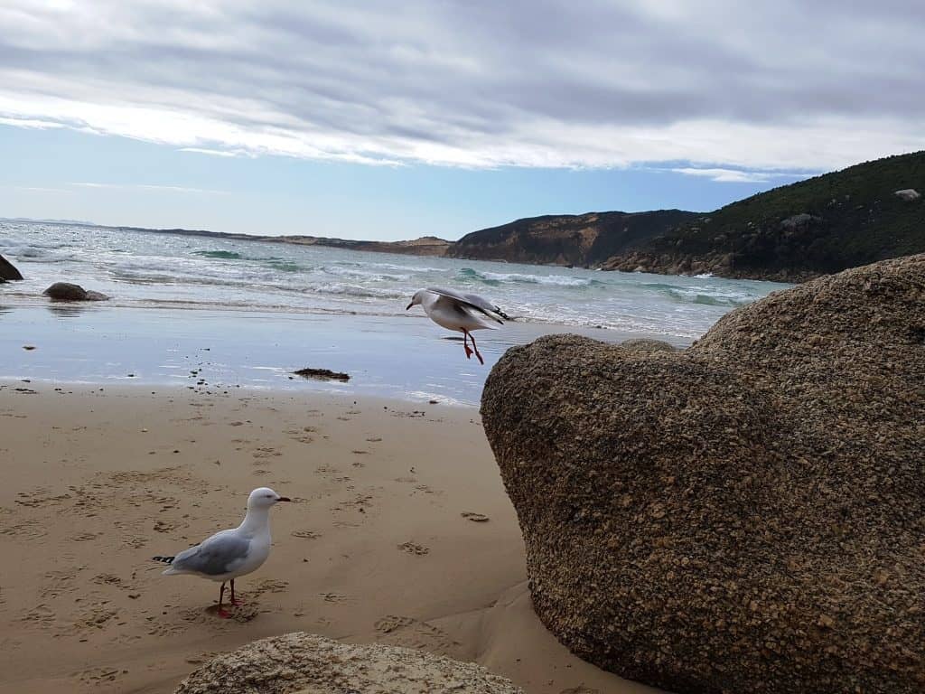
Seagulls Fairy Cove
Tongue Point

Painted rocks Tongue Point
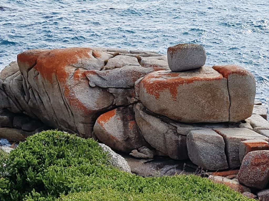
Tongue Point

Monolith Tongue Point
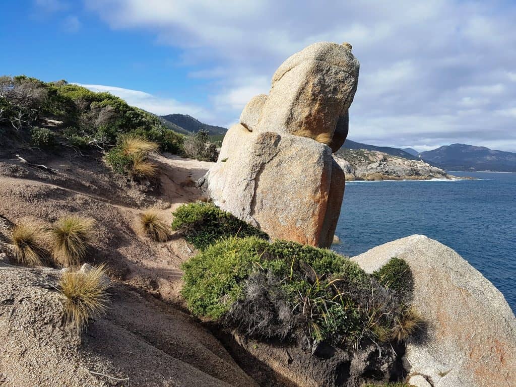
Steve Tongue Point

Tongue Point 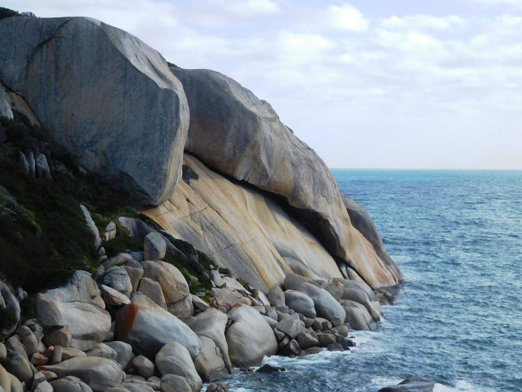
Wildflowers along the way

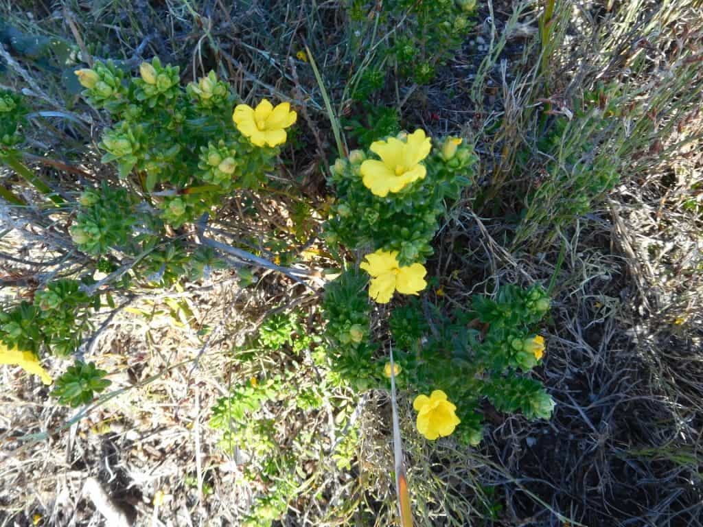

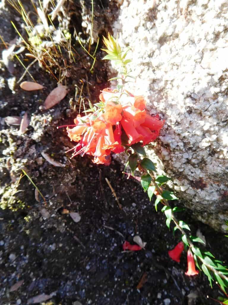

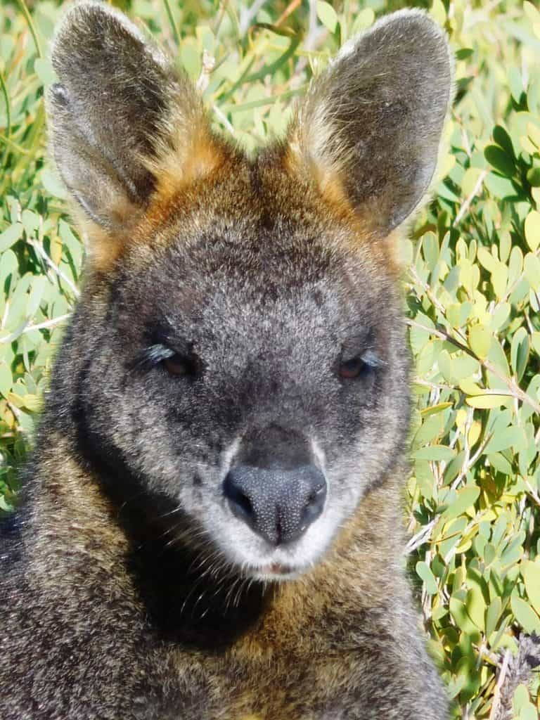
And wildlife: swamp wallaby
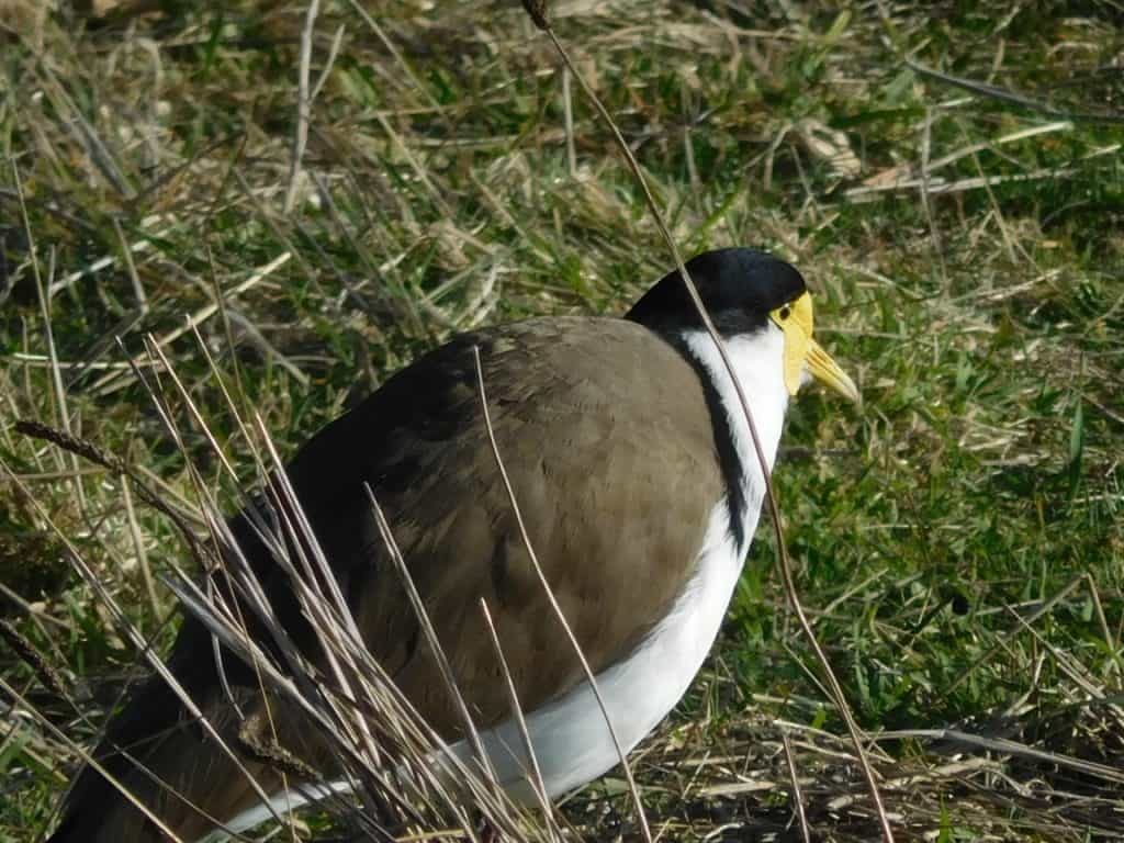
Spur winged plover
Water: If you are walking from Shallow Inlet to Tidal River, there is good water at Fishermans Creek in Shallow Inlet (and other places) and of course at the Darby River. You may find some other small streams (eg Cotters) along the way but should not count on them in summer. The day we walked there was a small fresh water strream between the darby River and Tongue Point, and a soak running down the rocks at Fairy Cove into a small pool. There are also some streams between Fairy Cove and Tidal River. You may want to filter the water eg with a Sawyer Mini: http://www.theultralighthiker.com/water-filter/
See Also:
https://www.theultralighthiker.com/2019/09/19/a-magical-day/
https://www.theultralighthiker.com/2017/03/12/the-great-gippsland-circuit/

