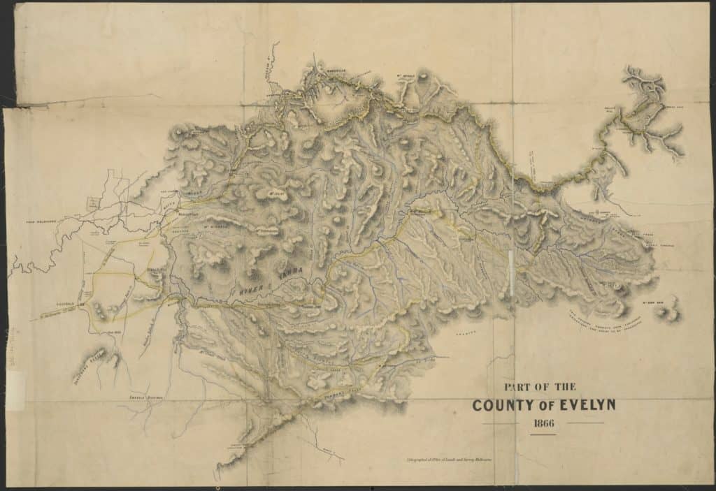
A friend recently sent me a copy of this splendid 1866 map of the County of Buln Buln, to the East of Melbourne. What a historic treasure it is! you can clearly see the route of what would later be ‘The Upper Yarra Track’ on it. This is what makes this fabulous walking track ‘Australia’s oldest’ – ‘and best’ as I say on the website: http://www.finnsheep.com/THE%20UPPER%20YARRA%20WALKING%20TRACK.htm
If you haven’t yet walked this wonderful track, think about doing so soon. Being winter at present you will want to follow the ‘Winter Route’ I have outlined in the track Instructions: http://www.finnsheep.com/Track%20Instructions.htm
as the route across the Baw Baw Plateau will be too dangerous because of snow and cold – though very experienced people with snowshoes and skis have done it.

PS: Thanks to Thomas Osburg for the map. It is available here: http://www.cv.vic.gov.au/media/2059/slv-county-of-evelyn-map.jpg I had to copy it with Paint. From the website, or with Paint you can zoom in and see the detail. Perhaps there is a another way of getting better copy.

