I spent six hours yesterday working on this excellent track which had been long neglected and overgrown. Apparently there were six other people on it too, though I never saw them – which indicates you can have a lovely solitary experience on the track. It connects O’Shea’s Mill to Caringal Scout camp and thus comprises an interesting addition to the Upper Yarra Track Winter route – see: http://www.finnsheep.com/THE%20UPPER%20YARRA%20WALKING%20TRACK.htm.
The first third at least – starting from Caringal, is roughly cleared but the others marked it all the way now with tape, so it needs about two days’ similar work to complete the job, apparently expected to be done by Spring, but it is now walkable, so the more people walk it (perhaps with one of these: http://www.theultralighthiker.com/the-worlds-greatest-machete/), the less work there will be to do.
It would be good to also re-open the West Tyers walking track which has been similarly neglected and which links Caringal with Western Tyers/Morgans’s Mill and the similar loop from Palmers to Growlers along the Western Tyers – both of which I have walked years ago. They are extraordinary beautiful sections of State Forest which deserve to be accesible to everyone – not just the intrepid!
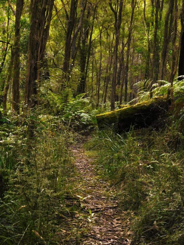
The track begins auspiciously. The track follows an old logging tramway linking bush mills (such as O’Sheas) to Collins siding where the railway ine to Melbourne was. NB: You can also walk along the tramway from Caringal to Collins siding.
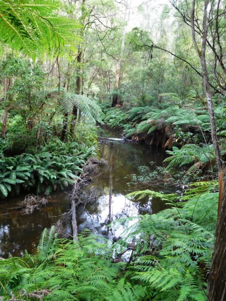
There are some lovely stretches if river, somewhere to try this out: http://www.theultralighthiker.com/the-ultralight-fisherman/
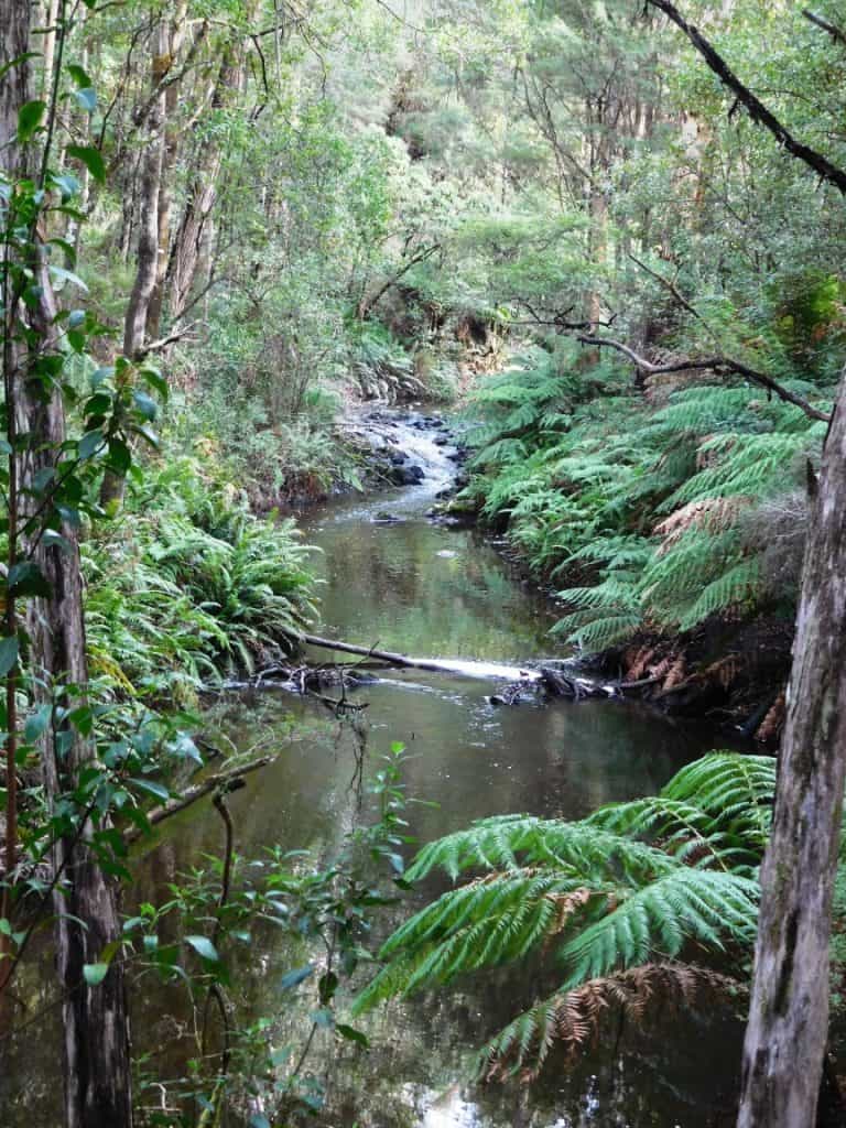
Here’s another.
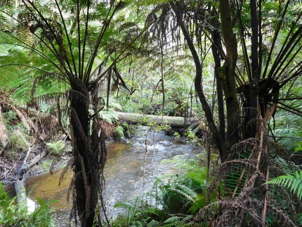
And yet another.
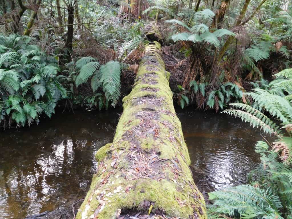
There are some interesting bridges.
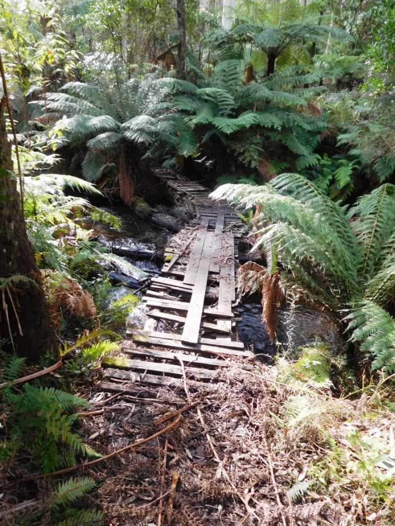
Some best avoided. You should never worry about getting your feet wet: http://www.theultralighthiker.com/why-you-should-get-your-feet-wet-when-hiking/
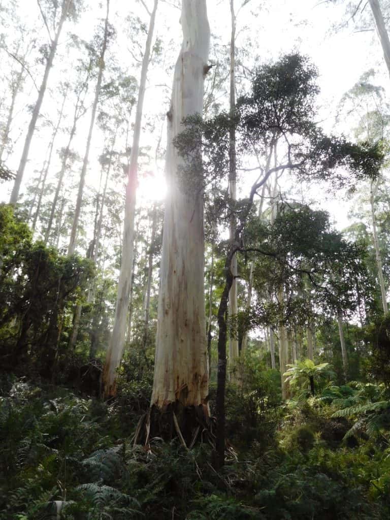
Some beautiful timber.
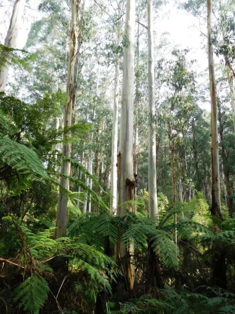
Mountain ash are magnificent – you can see why they were logging along here in the past.
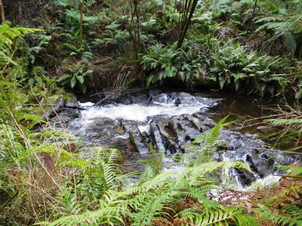
An interesting geological formation.
It will be such a splendid track when the clearing is quite finished – and even better when it links both to Collins siding (Erica) and to Western Tyers (Morgans Mill) and beyond eg to Tanjil Bren and Newlands Rd so that a circuit of the Baw Baws can be had. Well, it already can but some parts are tough going – though there is always an alternative eg road you can use. See below:
http://www.theultralighthiker.com/upper-yarra-track-osheas-mill/
http://www.theultralighthiker.com/upper-yarra-track-winter-route-caringal-scout-camp-tyers-junction/
http://www.theultralighthiker.com/upper-yarra-track-winter-route-western-tyers-to-tanjil-bren/
http://www.theultralighthiker.com/upper-yarra-track-winter-route-downey-to-newlands/
http://www.theultralighthiker.com/kirchubel-if-you-go-nowhere-else-in-the-world-at-least-go-here/
http://www.theultralighthiker.com/up-into-the-singing-mountains/
http://www.theultralighthiker.com/gippsland-pack-rafting-routes/


Hi there, I understand the Eastern Tyers track has been cleared further and can be walked from it’s confluence with Western branch at Caringal. Any idea where the other end pops out? Looking forward to walking this area and prepared to scrub bash, however would prefer to utilise existing track especially after the hard work invested. Cheers Luke
It should take you to O’Shea’s Mill but I don’t know whether the others involved cleared the top half. Still, it was easy enough to follow the old railway line. Cheers, Steve.
Thanks for the reply Steve. I wrongly assumed you’d done this track end to end and linked onto AAWT at OSheas.
Ive had a waltz around Monettes mill rd and spied some relatively open bush to head down onto the E Tyers. Easy to keep a track cleared, just put people down it regularly, ie signage, job done!
Will just drop in from near OSheas then. Many thanks. Luke
I am frankly astonished that the track is not clear and marked. This clearing was organised by a bushwalking club I was invited to. I went along to clear the track but arrived late and did not see the others. However, they reported me to the Director of the DSE for illegal clearing. At first he threatened to prosecute me but when I explained what had happened he was apologetic and just suggested I liaise with DSE when i wanted to clear a marked trail. What a silly idea. Clearly (as you say) if users keep a track clear (by walking it) there will never be a problem. PS: I would also like to see the trail across to Western Tyers cleared. I may have a go at it myself if i find the time. Cheers, Steve.
Looks like some beautiful hiking areas!
Oh Yes John. You must walk The Upper Yarra Track before you die! It really is Australia’s best – and there is practically no-one on it. PS: And you don’t need a car.