Loch Marie to Kintail is another long section much like coming up from Supper Cove. It takes me 7-8 hours, but I am not a racer. Much of the trip is walking along pleasant river flats. Some of the clearings are so big you have to look out for the (large) triangles on the other side. There would be pleasant camping along this section, as in similar parts of the trip up from Supper Cove. I have seen fish in the river above Loch Marie, and there is a mounted photo on the wall of the Loch Marie hut of one such caught in the upper reaches of the Seaforth River above Kintail. It would also be a fine area for deer hunting during the ‘roar’.
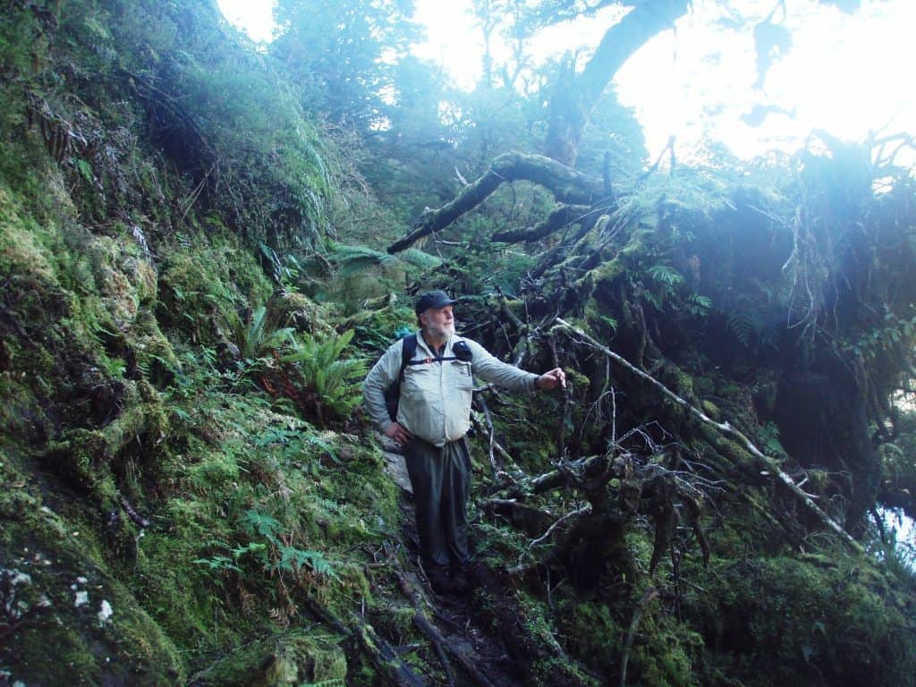
The first approx 3/4 of an hour are not so pleasant, hillsiding, rocks and tree roots, etc. this can be avoided if the river is low. You can walk up along the other side (or in the river) and cross once it flattens out on the true right bank as I have done here:
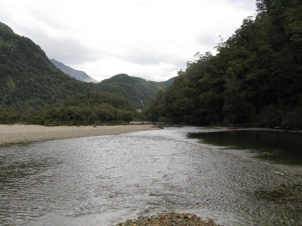
Looking back towards the Loch Marie Hut (centre) you can see it was easier going walking up the river.
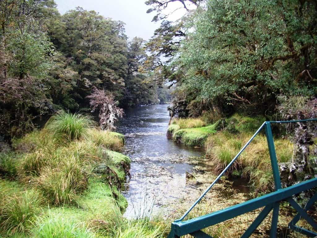
This new bridge is a pleasant spot for a breather. It was not so nice wading across here up to your neck in the past.
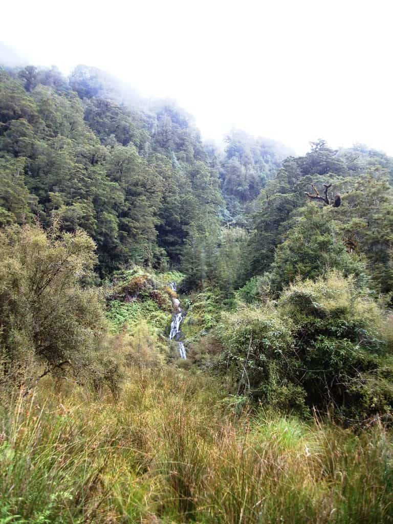
There are some quite big clearings (more on the other side of the river – usually easily crossed in this section). this one complete with waterfall.
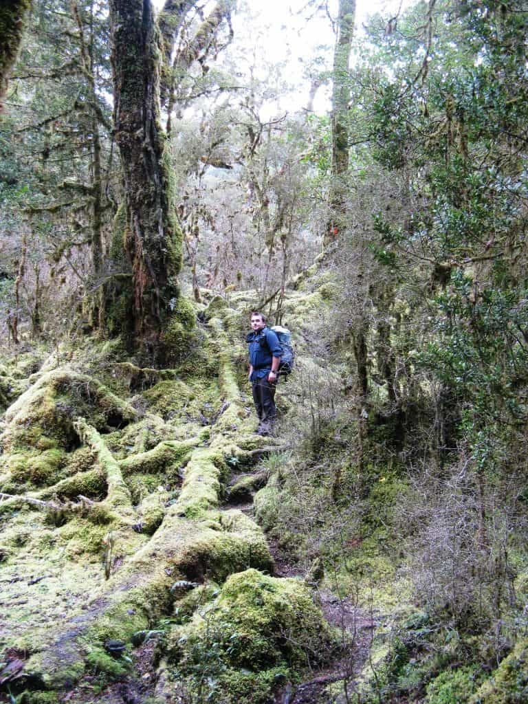
Hobbit country.
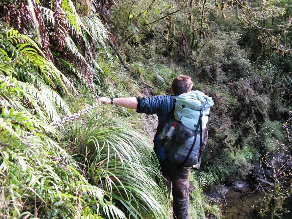
Some places you have to hang on so you don’t fall in the river.
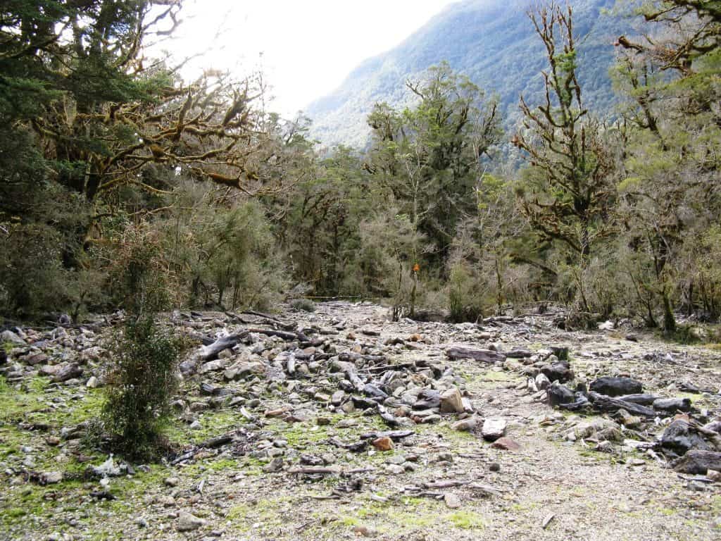
This debris gully is a good spot for a morning break.
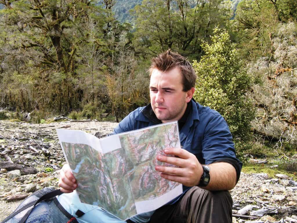
And to check your map – you should have it laminated (as shown) for Fiordland weather.
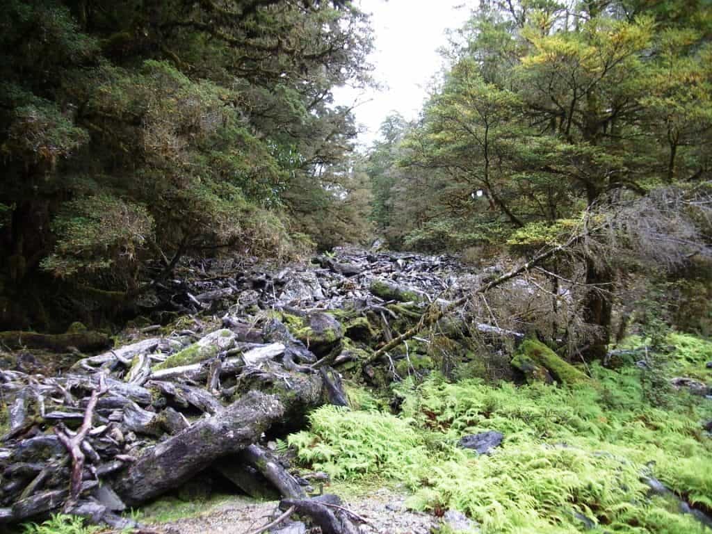
You wouldn’t want to be here when it was really raining though!
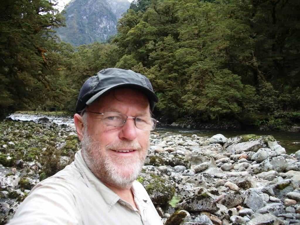
Lunch stop about half way you can get down onto these boulders and have lunch in the sunshine on a nice day.
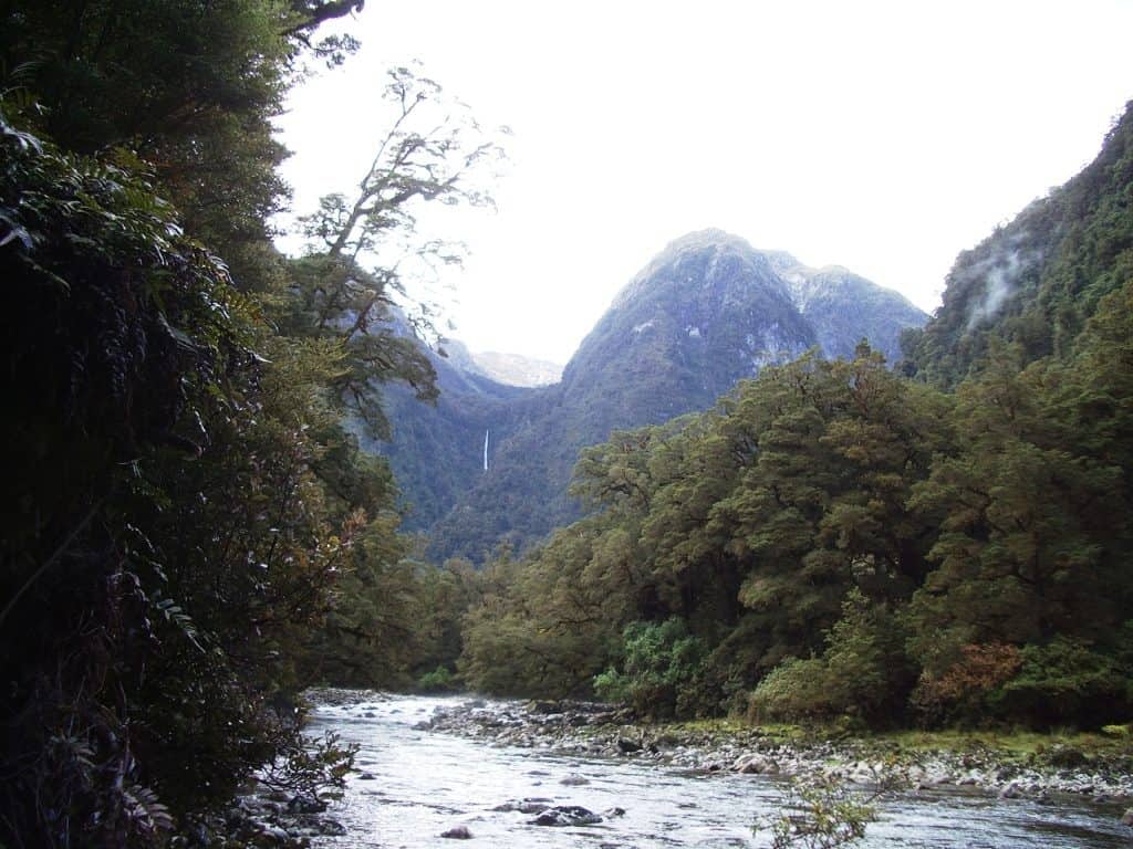
Tripod Hill and waterfall.
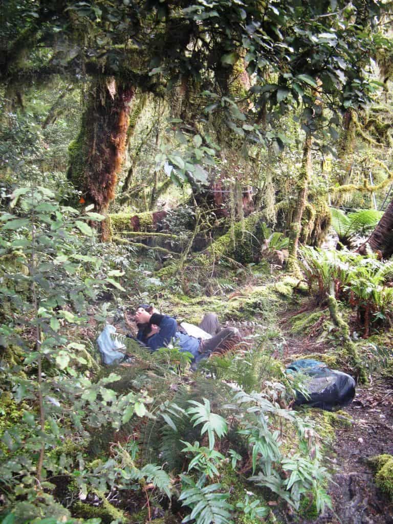
We often stop for a break at the Kenneth Burn walk wire. Bryn taking it easy. Bryn and Irralee are both immune to sandflies. that would be nice!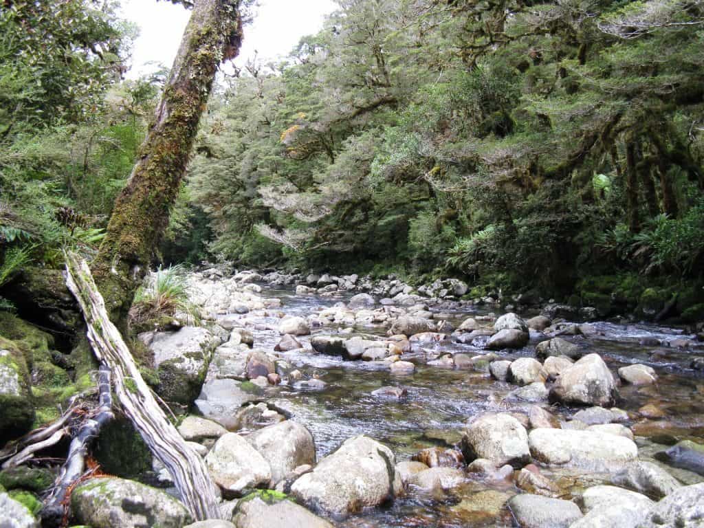
Kenneth Burn.
After the Kenneth Burn there is a bit of a rocky climb around a giant slip and a bit of tree-root hopping going down to the head of the Gair Loch (which can be quite unpleasantly swampy when it is wet). After that it is easy river flat going to the Kintail Hut which is off the track a bit to the left. It is a very damp spot, so you probably won’t be having a fire. You also have to walk back about fifty metres to get a sat phone signal.
The Kenneth Burn ‘slip’ has regrown with hundreds of acres of fuschia. This is a favourite food plant of the NZ moose, and you will see many examples (mostly old) of moose browse and barking if you keep an eye out. If you are very quiet and lucky you might even snap a photo of one — there is reputed to still be a $100,000 prize! When I was walking out in 2012 there was one spot in particular to the right of the track just about the top where a moose had obviously stayed and grazed the tops of every plant for several days – just days before I passed, worse luck!
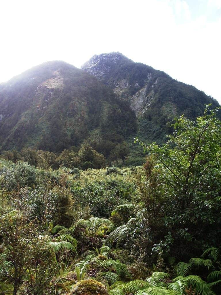
This is the Fuchsia slip I have been talking about. Hundreds of acres. You can imagine thousands such throughout the moose range in Fiordland.
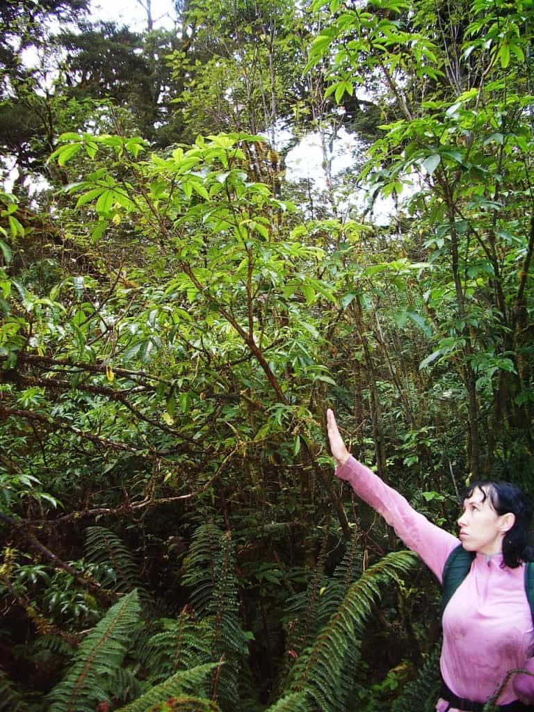
Irralee pointing out some moose browse about 2.5 metres up a fuchsia on the Kenneth Burn slip.
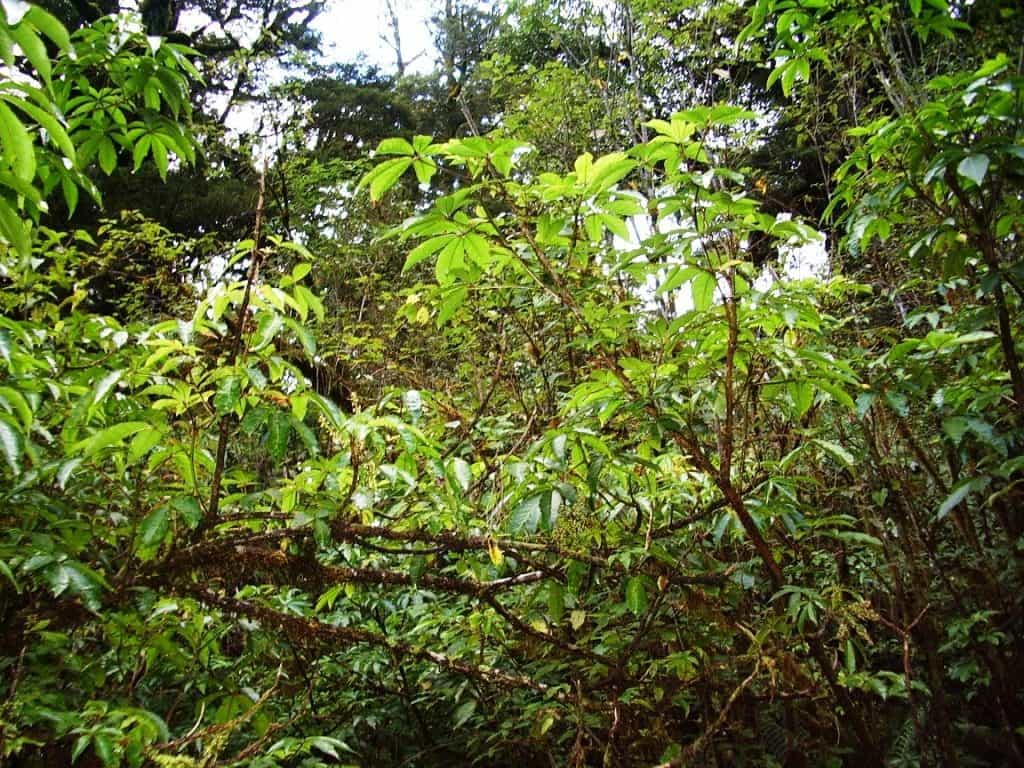
Detail: You can see they have bitten through twigs between 1-2 cm in diameter and broken them off. Nothing else could do this 2.4-2.7 metres (8′-9′)off the ground.
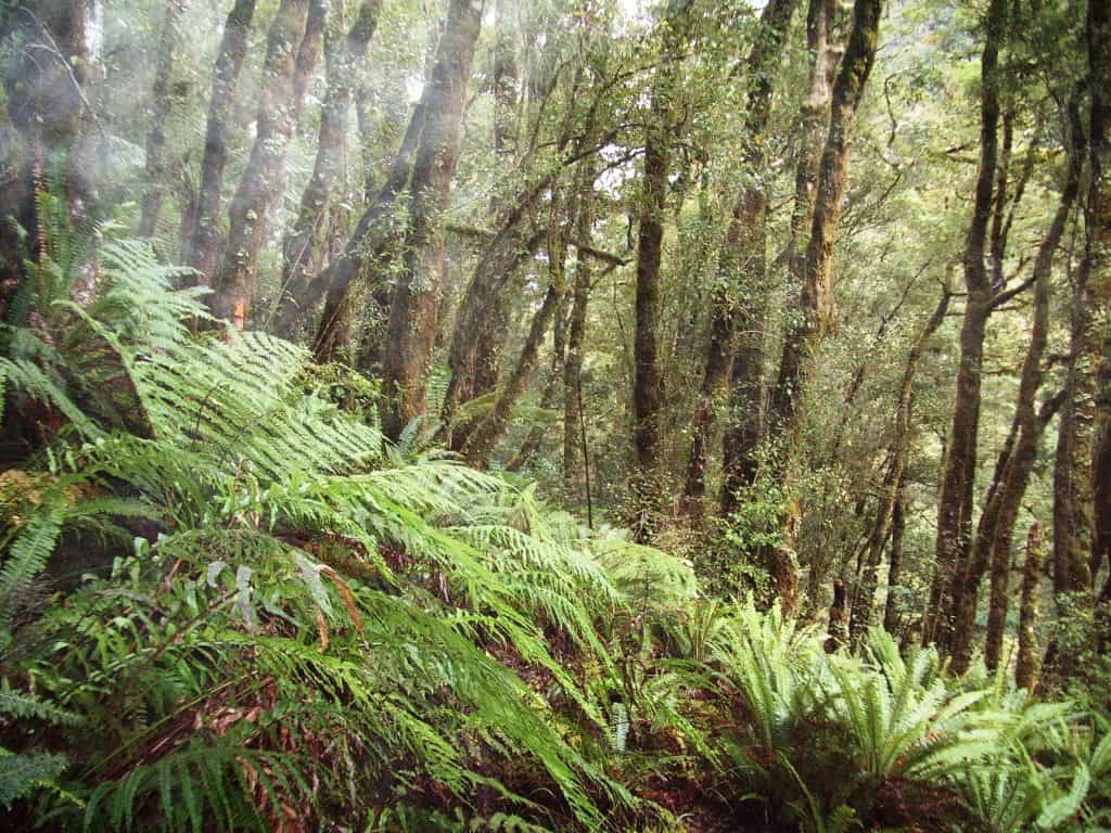
A bit of rougher going heading down to the Gair Loch.
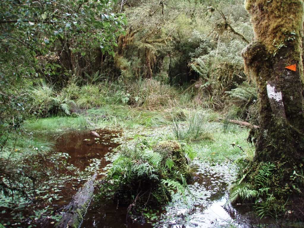
A bit of swampy going near the Gair Loch.
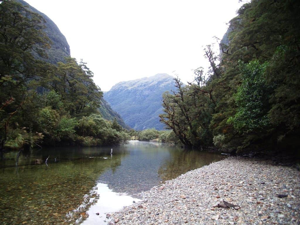
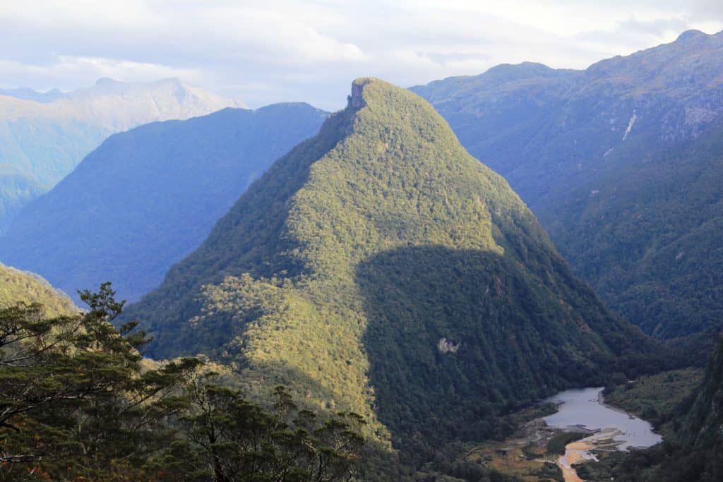
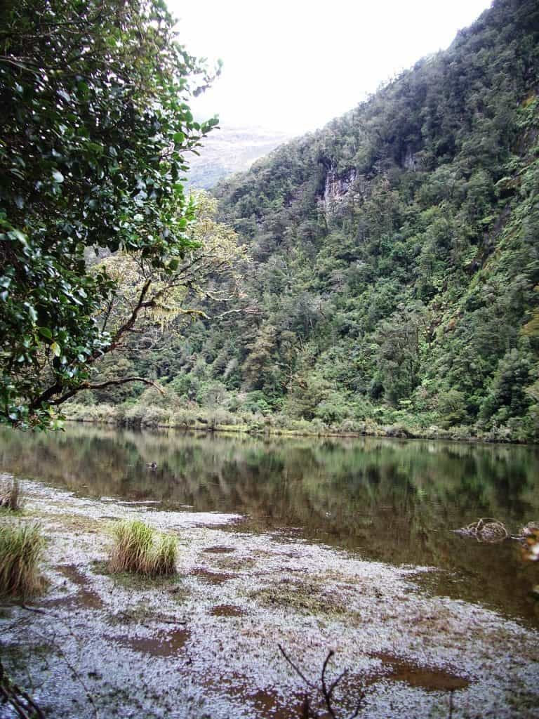
Looking down on the Gair Loch from near Centre Pass. The track has circled behind the Tripod Hill(from left to right in the photo) then come along the right hand side of the Loch. There would be good fishing, I imagine.
And then pleasant walking for an hour or so until you come to the Seaforth walk wire and the Kintail Hut.
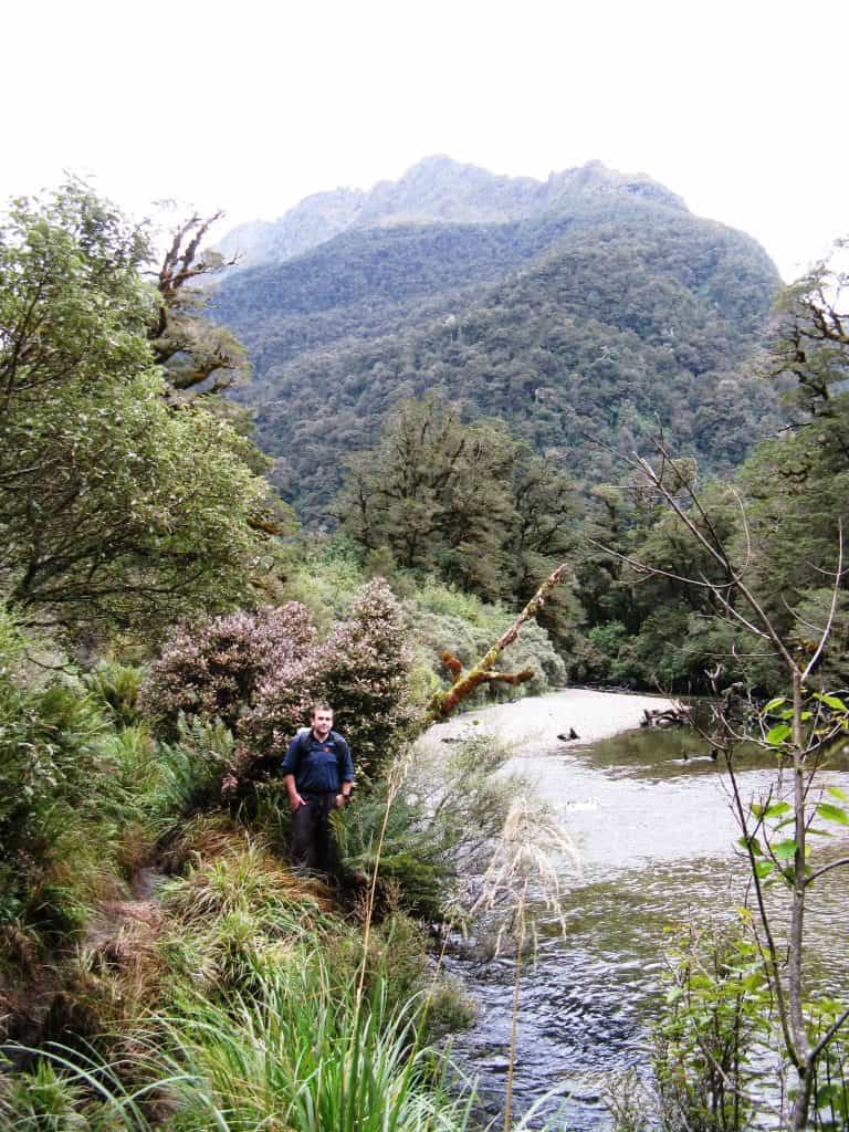
Like this.
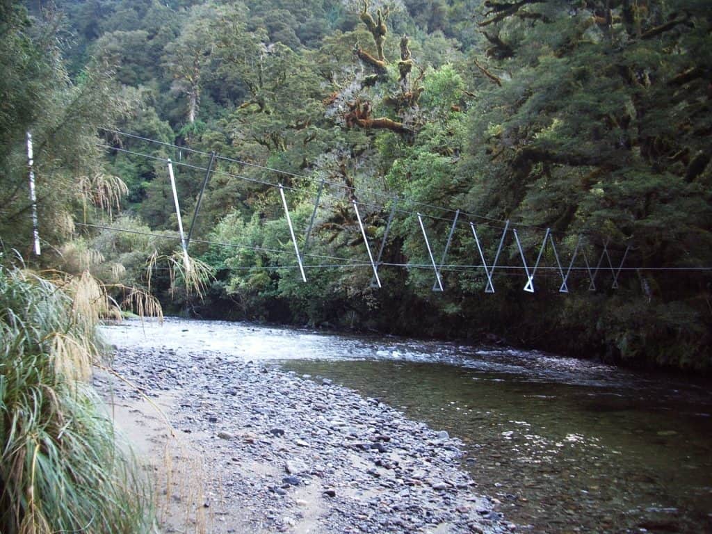
Seaforth Walk Wire. The hut is a little further along about 200 metres back from the river on the true right bank
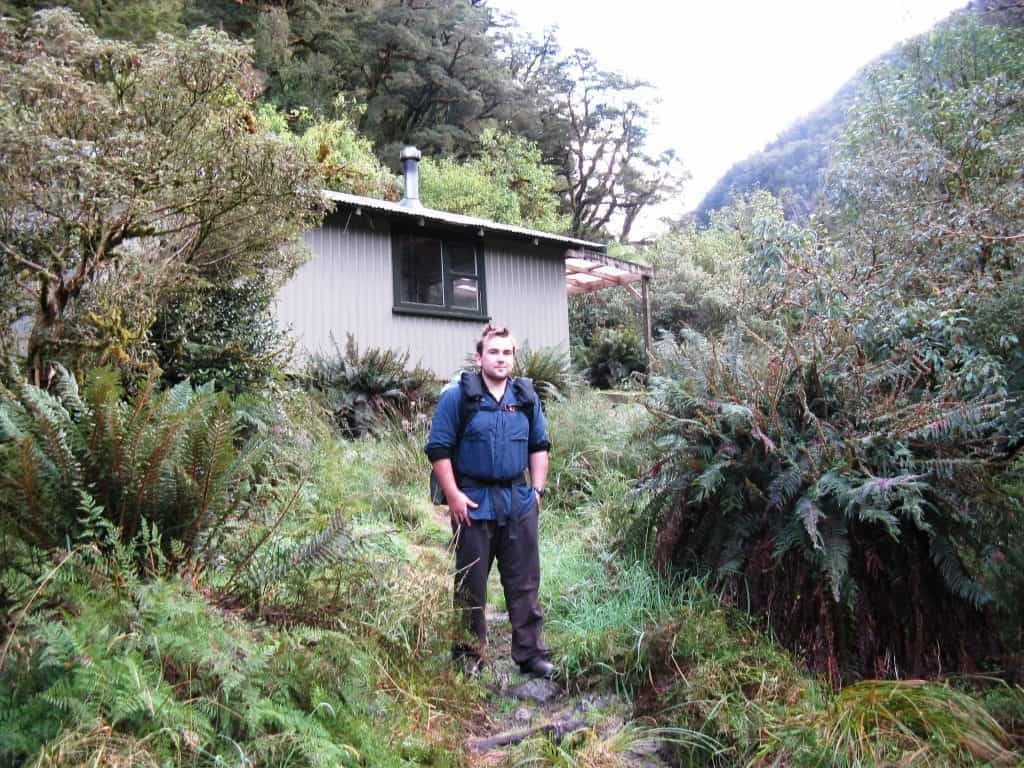
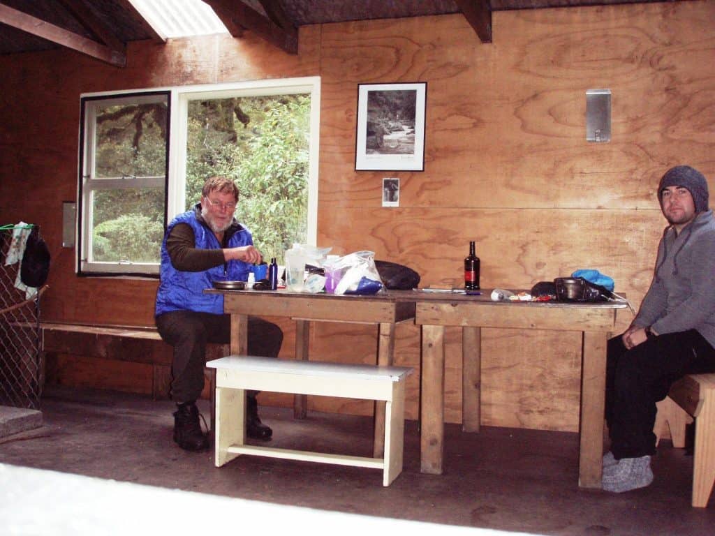
Kintail Hut.
See also:
http://www.theultralighthiker.com/from-dawn-to-dusky/
http://www.theultralighthiker.com/from-dawn-to-dusky-day-2/
http://www.theultralighthiker.com/from-dawn-to-dusky-3/
http://www.theultralighthiker.com/from-dawn-to-dusky-4/
http://www.theultralighthiker.com/from-dawn-to-dusky-5/
http://www.theultralighthiker.com/from-dawn-to-dusky-7/
http://www.theultralighthiker.com/from-dawn-to-dusky-8/
http://www.theultralighthiker.com/insects-can-ruin-a-camping-trip/
http://www.theultralighthiker.com/dusky-track-canoeing-the-seaforth/
http://www.theultralighthiker.com/dusky-track-adventures-1/
http://www.theultralighthiker.com/eddie-herrick-moose-hunting-at-dusky-sound/
http://www.theultralighthiker.com/eddie-herrick-moose-hunting-at-dusky-sound/
http://www.theultralighthiker.com/a-friend-i-met-on-the-dusky-track-fiordland-nz/
http://www.theultralighthiker.com/dusky-south-coast-tracks/
http://www.theultralighthiker.com/dreaming-of-the-dusky-track/
http://www.theultralighthiker.com/the-dusky/
http://www.theultralighthiker.com/moose-hunting/
http://www.theultralighthiker.com/fiordland-moose/
http://www.theultralighthiker.com/fiordland-moose-2/
http://www.theultralighthiker.com/hunting-in-fiordland/
http://www.theultralighthiker.com/off-to-fiordland/
http://www.theultralighthiker.com/shadowland-fiordland-video/
http://www.theultralighthiker.com/the-best-toilet-view-in-the-world/
http://www.theultralighthiker.com/10-days-in-fiordland/
http://www.theultralighthiker.com/fiordland-2009/
http://www.theultralighthiker.com/fiordland-nz-with-bryn/
http://www.theultralighthiker.com/fiordland-april-2007/
http://www.theultralighthiker.com/weather-for-fiordland/
http://www.theultralighthiker.com/more-dusky-adventures/

