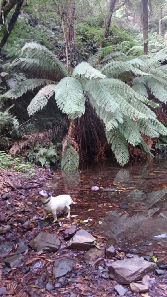
From the Thomson River Bridge/s (‘Thomson Station’) you can walk a lovely 8 km circuit up along the West bank of the river then down along the East bank. If I were walking the entire UYT I would come down to Thomson Station as soon as it joined the Mormon Town Track and walk up the West bank as it is far more beautiful, and would otherwise be missed – as would the two excellent campsites to be found along it. The first only about 200 metres from the main roads is large enough for several caravans (there was a 25’ one parked there as we walked by). The second campsite is on a large flat along the river about 300 metres below the Poverty Point Bridge – there is a track down to it. The track also crosses two small creeks on each side of the river which would provide a campsite on a flat section of the track (if you can get your tent pegs in).

Within 100 yards of the main road you start to see these beautiful fern gullies. You cross Jack Creek and take the walking track to the right (signposted).
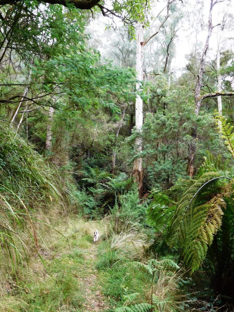
Both tracks follow the routes of old timber tramlines so they are delightful easy going. A Jack Russell like Spot can really tear along them!

Here he comes again!
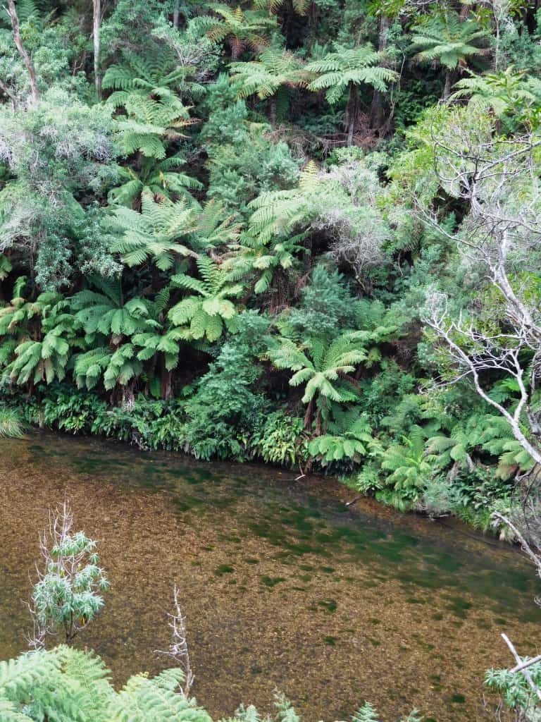
The track on the West side provides splendid views of the beautiful Thomson River – which provides wonderful canoeing opportunities when the river heights are right. See http://www.theultralighthiker.com/canoeing-the-thomson-river-gippsland-victoria/ and this video: http://www.theultralighthiker.com/videos/thomson-river-canoe-trip-2006-complete/
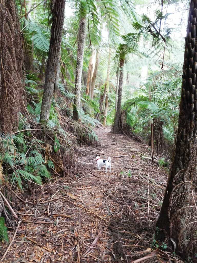
There are plenty of cool, shady areas to stop and rest. Soon you come to the second stream:
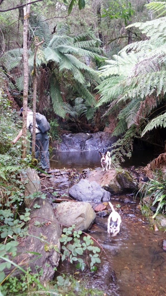
‘By channels of coolness the echoes are calling,
And down the dim gorges I hear the creek falling’ Bellbirds, Henry Kendall: http://www.mountainman.com.au/kendall.html
You can dimly glimpse the waterfall above the last photo.

After about 1.5 hours the Poverty Point Bridge looms in sight.
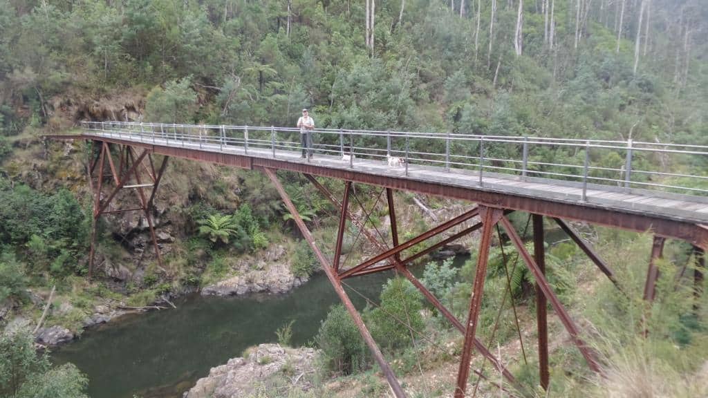
Unbelievably the bridge was constructed (prefabricated) in England in 1900 and shipped out to this remote place.

View downstream from the bridge: you can just make out the flat in the river mentioned earlier where you can camp.
Tiny is 16 but still enjoys a long walk (and a cool puddle). This is a stream on the east bank. She is looking up to a bench where once a timber getter’s house stood. They had cellars under their bark huts for milk/cheese (from their goats) and pocket handkerchief vegie gardens up along the streams. Saturday nights they would walk (10 km) into Walhalla to socialise. In the past people had to ‘make do’. They raised a nation of strong, independent people.
Maps for this section:
Walhalla South T8122-2-S and Avenza Pdf App.
See also:
http://www.finnsheep.com/THE%20UPPER%20YARRA%20WALKING%20TRACK.htm
http://www.finnsheep.com/Track%20Instructions.htm
http://www.theultralighthiker.com/upper-yarra-track-update-section-one-moe-yallourn-rail-trail/
http://www.theultralighthiker.com/upper-yarra-track-update-section-three-wirilda-to-moondarra/
http://www.theultralighthiker.com/upper-yarra-track-section-four-moondarra-to-erica/
http://www.theultralighthiker.com/upper-yarra-track-section-five-erica-to-walhalla/
http://www.theultralighthiker.com/upper-yarra-track-section-nine-phillack-saddle-to-block-10-road/
http://www.theultralighthiker.com/upper-yarra-track-ada-tree-to-big-pats-creek/
See also Upper Yarra Track Winter Route & Side Trips:
http://www.theultralighthiker.com/western-tyers-river-great-for-crays/
http://www.theultralighthiker.com/the-western-tyers/
http://www.finnsheep.com/THE%20UPPER%20YARRA%20WALKING%20TRACK.htm
http://www.theultralighthiker.com/upper-yarra-track-st-gwinear-track-junction-to-whitelaws-hut/
http://www.theultralighthiker.com/upper-yarra-track-summary-cumulative-distancestimes/
http://www.theultralighthiker.com/upper-yarra-track-osheas-mill/
http://www.theultralighthiker.com/a-beautiful-world/
http://www.theultralighthiker.com/upper-yarra-track-winter-route-caringal-scout-camp-tyers-junction/
http://www.theultralighthiker.com/upper-yarra-track-winter-route-western-tyers-to-tanjil-bren/
http://www.theultralighthiker.com/kirchubel-if-you-go-nowhere-else-in-the-world-at-least-go-here/
http://www.theultralighthiker.com/upper-yarra-track-winter-route-downey-to-newlands/
http://www.theultralighthiker.com/upper-yarra-track-glamping-baw-baw-overnight-hike/
http://www.theultralighthiker.com/upper-yarra-track-side-trip-poverty-point/
http://www.theultralighthiker.com/upper-yarra-track-sidetrip-horseshoe-tunnelcoopers-creek/

