You might reach here by walking down the rail trail from Collins Siding (10 km – 2-3 hours), where the cottages are on the main Erica-Moe Rd at the Caringal turnoff. The trail runs along behind the cottage on the West side starting to the North of them. Or, you might come down the East Tyers Walking Track (I will check whether this is still open). We came along Finns Track from O’Shea’s Mill via the South Face Rd, a pretty quiet forest path. All three routes are a similar distance (and time).
See: Tyers Junction Rail Trail: http://www.railtrails.org.au/component/railtrails/?view=trail&id=49&layout=print&tmpl=component
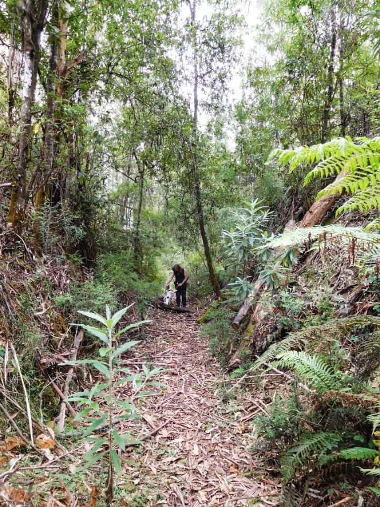
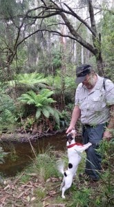
Della, Spot, old railway cutting.
Caringal Webpage: http://www.vicscouts.com.au/caringal.html
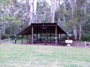
There are both powered and unpowered campsites at the Scout camp. I notice other folk camp at the picnic area outside too, or on the roadside across the river. I imagine though a hot shower, proper toilet facilities, undercover cooking, maybe some company etc are worth the $12.
They also have more motel-style accommodation for less intrepid, better-heeled adventurers. Of course there is similar paid lodging elsewhere on the trail, for example: Yallourn North, Erica, Rawson, Walhalla, Mushroom Rocks, Baw Baw, Tanjil Bren, Noojee…
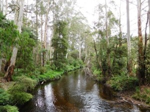
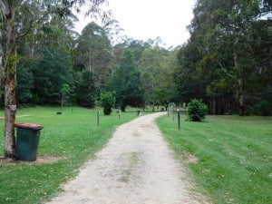
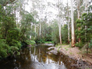
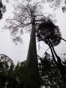
It is a really beautiful spot where the waters of the East and West Tyers meet. The managed gardens meld into the natural forest of mountain ash and antarctic beech wonderfully. Lots of soft mown lawns to pitch your tent on. Crystal clear water (trout and crays) in the pristine streams.
From Caringal you can journey to Western Tyers via Morgans Mill Rd (open forest) or Buckle Spur, cool wet forest tree ferns and mountain ash. It will be no more than a further 2-3 hours. There used to be a walking track along the river which followed the old railway line all the way to Growlers, but it has grown over (we checked).
It was really beautiful. A job of clearing for someone, but maybe not me. It is worth walking along it as far as the old washed out bridge. You might pick it up on the other side (and if you have your machete with you http://www.theultralighthiker.com/the-worlds-greatest-machete/ ) journey on to Western Tyers along it. There can be nothing unlawful about helping to keep a designated waling track clear, after all!
See also:
http://www.finnsheep.com/THE%20UPPER%20YARRA%20WALKING%20TRACK.htm
http://www.theultralighthiker.com/upper-yarra-track-update-section-one-moe-yallourn-rail-trail/
http://www.theultralighthiker.com/upper-yarra-track-update-section-three-wirilda-to-moondarra/
http://www.theultralighthiker.com/upper-yarra-track-section-four-moondarra-to-erica/
http://www.theultralighthiker.com/upper-yarra-track-summary-cumulative-distancestimes/
http://www.theultralighthiker.com/upper-yarra-track-osheas-mill/
http://www.theultralighthiker.com/a-beautiful-world/

