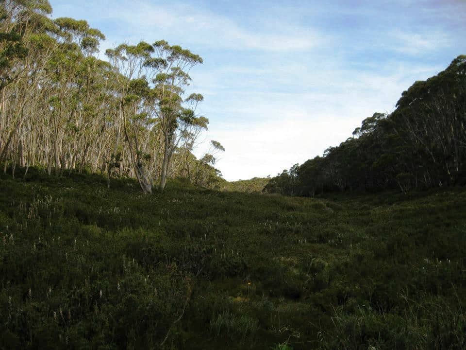
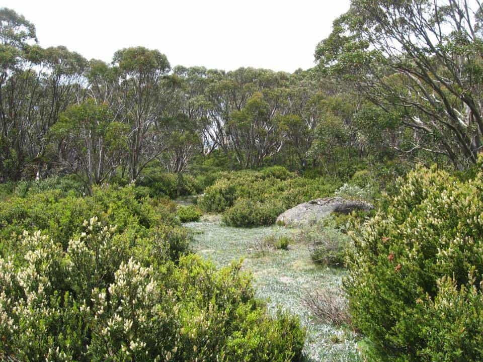
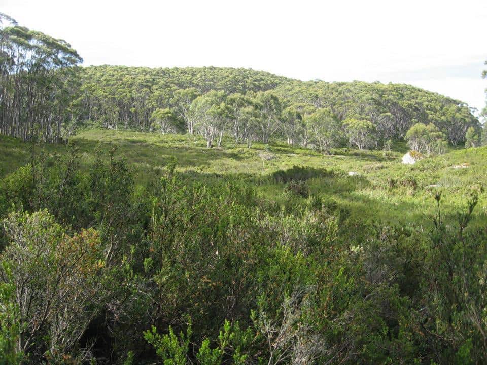
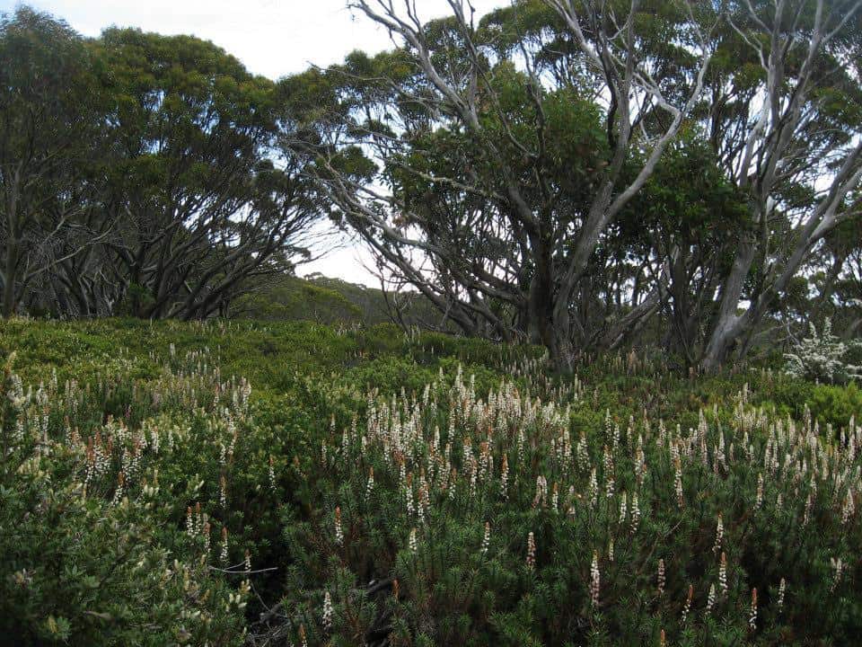
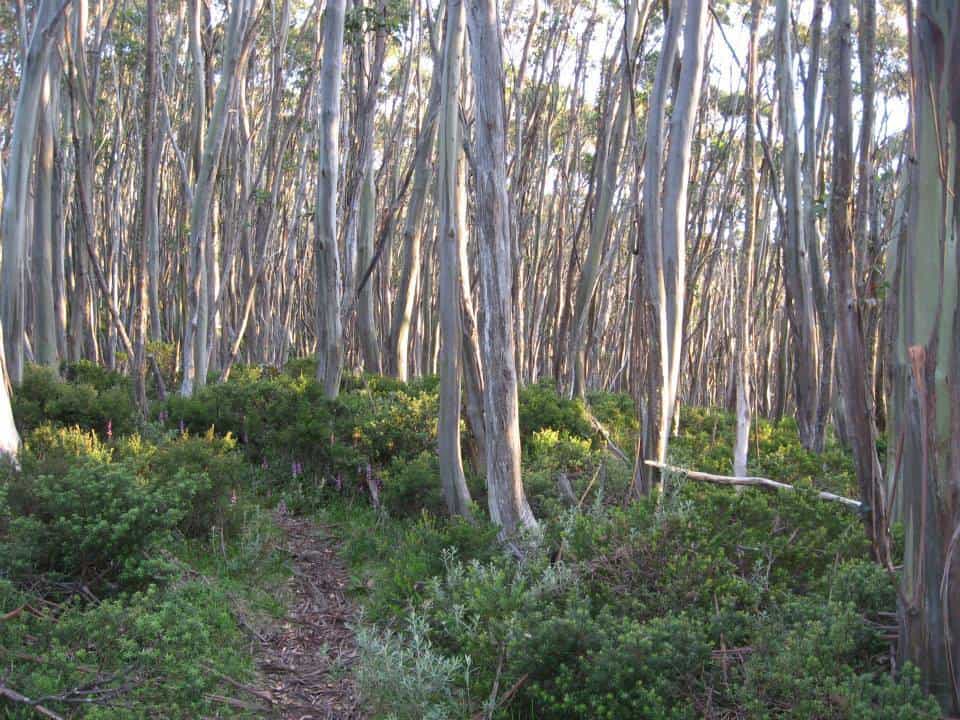
The route along the tops is a delightful mix of alpine heath and snow gums. Every couple of kms you will find a small stream (sometimes to the side of the track) with fresh water. For example there is water near the St Gwinear turnoff, just after Mt St Phillack, at Mustering Flat and in the valley next to the Mt Whitelaw Hut site. Gerard White and his partner Bridgette kindly shared these photos from January 2015. Click on the photos to enlarge. Near Mt St Phillack:
Most times of the year (save winter) there is a riot of wildflowers
These lovely little fellows close up.
The path is well defined and maintained.
With many things of interest on all sides.
The grass is well clipped by small herbivores whom you may see morning/evening.
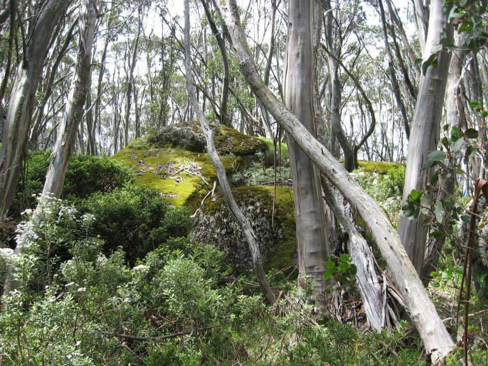
Large granite tors are a feature of the Baw Baws.
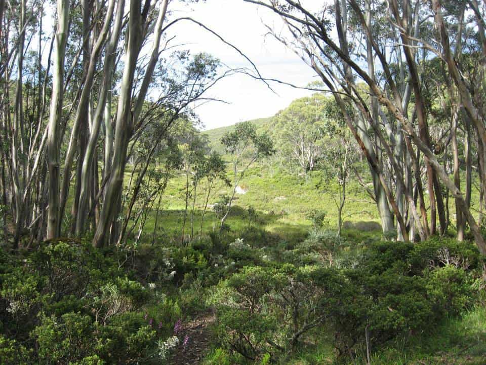
There are some lovely vistas.
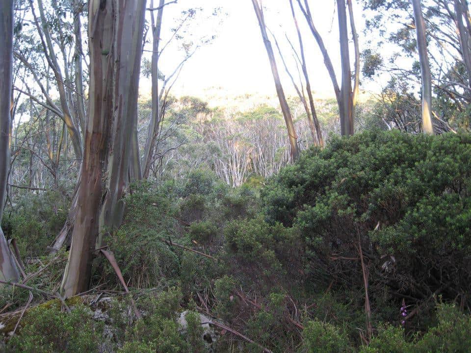
As the evening shadows lengthen.
Some of these prostrate plants amongst the snow gums are dwarf native pines.

Whitelaws Hut site. There used to be four huts: the first at the Yarra Falls, the second in Newland Rd, the third at Mt Whitelaw, the fourth at Talbot Peak (Mt Erica). Walkers coming from Melbourne used to stay at McVeighs Hotel (now under the Yarra dam) the first night out, and were in Walhalla on the sixth night.
A shame these huts were destroyed by the 1939 fires and never rebuilt. They were quite large, had concrete floors and fireplace, bunks, pots, pans, crockery. Delightful spots to stay as you journeyed along. Still camping out today is not without its pleasures.
Many pleasant views around the hut.
As you lie abed, this is the view of the sky you see.
Water can be obtained from this stream nearby.
Snow gums are very slow growing. Some of these trees are very old.
The path continues on towards its turn-off to Newlands Rd in about 2 km.
See also:
http://www.finnsheep.com/THE%20UPPER%20YARRA%20WALKING%20TRACK.htm
http://www.finnsheep.com/Track%20Instructions.htm
http://www.theultralighthiker.com/upper-yarra-track-update-section-one-moe-yallourn-rail-trail/
http://www.theultralighthiker.com/upper-yarra-track-update-section-three-wirilda-to-moondarra/
http://www.theultralighthiker.com/upper-yarra-track-section-four-moondarra-to-erica/
Mobile Phone works most places along the top of the Baw Baw Plateau.
Vicmaps: Walhalla North T8122-2-N & Noojee North T 8122-3-N
WARNING: The Vicmaps incorrectly locate the trail from Baw Baw to St Gwinear as coming off the ‘Village Trail’ at Baragwanath Flat: This is the old trail which is well-nigh impassable (though we did!). The new (well-maintained) trail begins a little west of there and exits onto the Alps Walking Track West of St Phillack Saddle (where there is an excellent campsite with water), not right at the saddle as does the old trail. Warning 2: Trails down from the Alps Walking Trail to Newlands Road: there is only one trail, not two as shown on the Vicmaps. It is an old gently sloping forestry road approx 7 metres wide. In places it is a little overgrown (mostly with annual weeds), but easy to follow. I marked it with coloured tape every half a km or so. The beautiful 3 km down to Newlands Rd will likely take you 1.5-2 hours. NOTE: There is a good camp with water on this old road as it crosses the diminutive Thomson River (here just a brook) about .5 km off the main Alps Trail. After hitting Newlands Rd you can camp on the side of the road every time it crosses the river or is near enough to the river for water (lots). About a km before the end of Newlands Rd after the last Thomson River crossing (with its ‘No Camping’ sign – ignore), there is a track off to the North which leads to a beautiful dam about half a km away full of trout with delightful campsites. This is the last good campsite with water before you get to Toorongo (Link Rd)
See also Upper Yarra Track Winter Route:
http://www.theultralighthiker.com/western-tyers-river-great-for-crays/
http://www.theultralighthiker.com/the-western-tyers/
http://www.finnsheep.com/THE%20UPPER%20YARRA%20WALKING%20TRACK.htm
http://www.theultralighthiker.com/upper-yarra-track-update-section-one-moe-yallourn-rail-trail/
http://www.theultralighthiker.com/upper-yarra-track-update-section-three-wirilda-to-moondarra/
http://www.theultralighthiker.com/upper-yarra-track-section-four-moondarra-to-erica/
http://www.theultralighthiker.com/upper-yarra-track-section-five-erica-to-walhalla/
http://www.theultralighthiker.com/upper-yarra-track-summary-cumulative-distancestimes/
http://www.theultralighthiker.com/upper-yarra-track-ada-tree-to-big-pats-creek/
http://www.theultralighthiker.com/upper-yarra-track-osheas-mill/
http://www.theultralighthiker.com/a-beautiful-world/
http://www.theultralighthiker.com/upper-yarra-track-winter-route-caringal-scout-camp-tyers-junction/
http://www.theultralighthiker.com/upper-yarra-track-winter-route-western-tyers-to-tanjil-bren/
http://www.theultralighthiker.com/kirchubel-if-you-go-nowhere-else-in-the-world-at-least-go-here/
http://www.theultralighthiker.com/upper-yarra-track-winter-route-downey-to-newlands/





Do you know the location of the ruin of the Newlands Rd hut? I have an idea where the falls creek hut was, down near the confluence of falls creek and the yarra but I have no idea where the newlands rd hut was.
see https://live.getlost.com.au/?lat=-37.7443856388805&lng=146.09241485595706&M=falls%20creek%20hut%20ruin
I have not spotted it. I have provided photos of the Falls Hut though. Cheers, Steve.