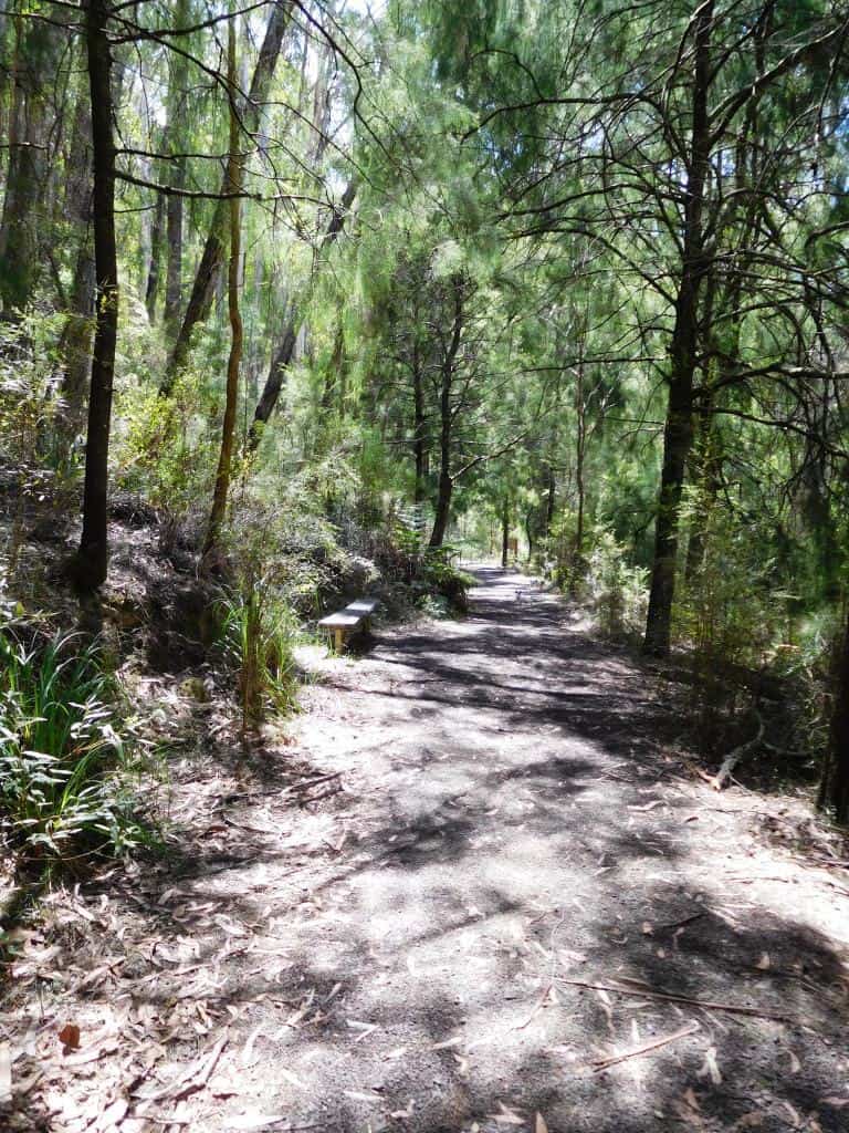
Only a bit over a km from Platina Station on the walk from Erica to Walhalla you can take this lovely walk down to the historic Horseshoe Tunnel. The tunnel was created over a century ago to divert the river so the dry river bed could be sluiced for gold. The sidetrip takes about 1.5 hours (or several days if you decide to camp out!) This early section is fringed with wild cherries. Seats are provided at strategic intervals for the weary traveler. (As usual you can click on the photos to see them full size).
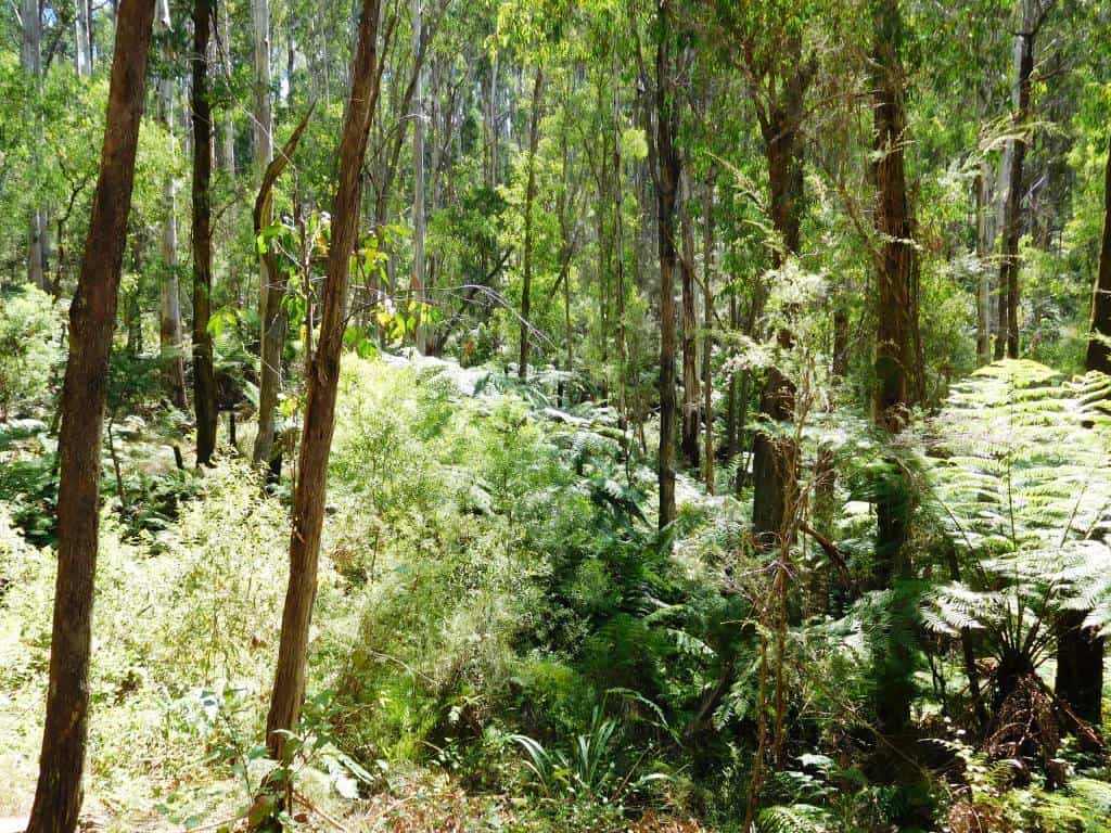
The track passes through a beautiful fern gully as it zig zags down the hill to the river.
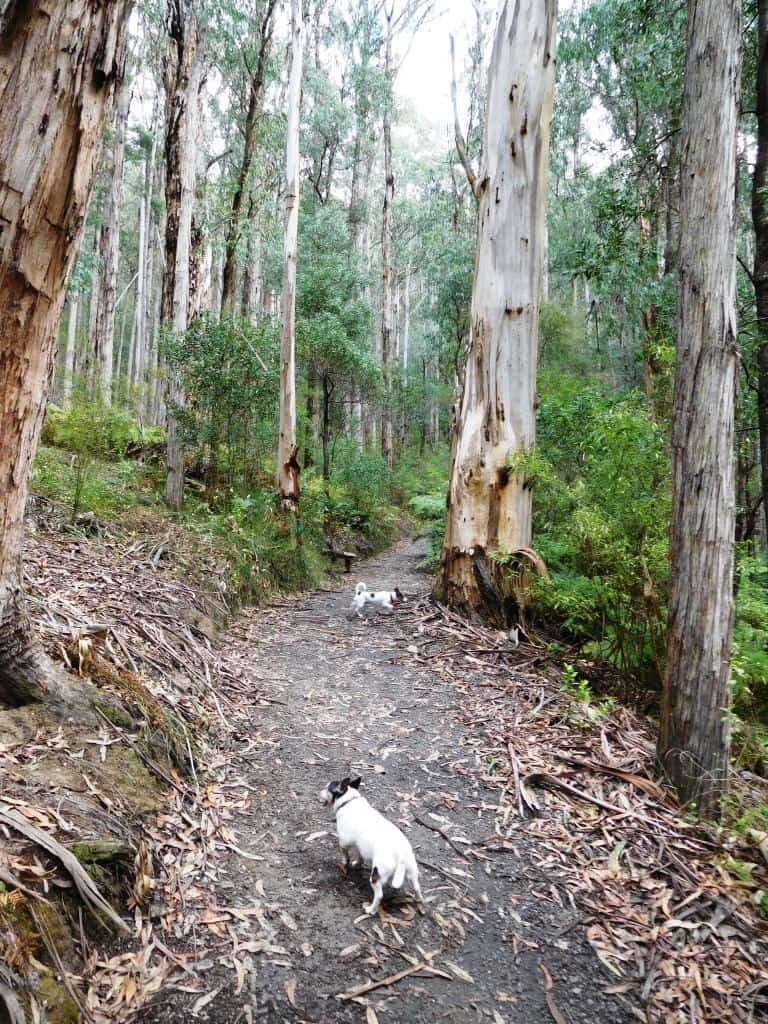
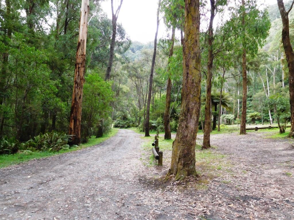
There is some good timber along the way.
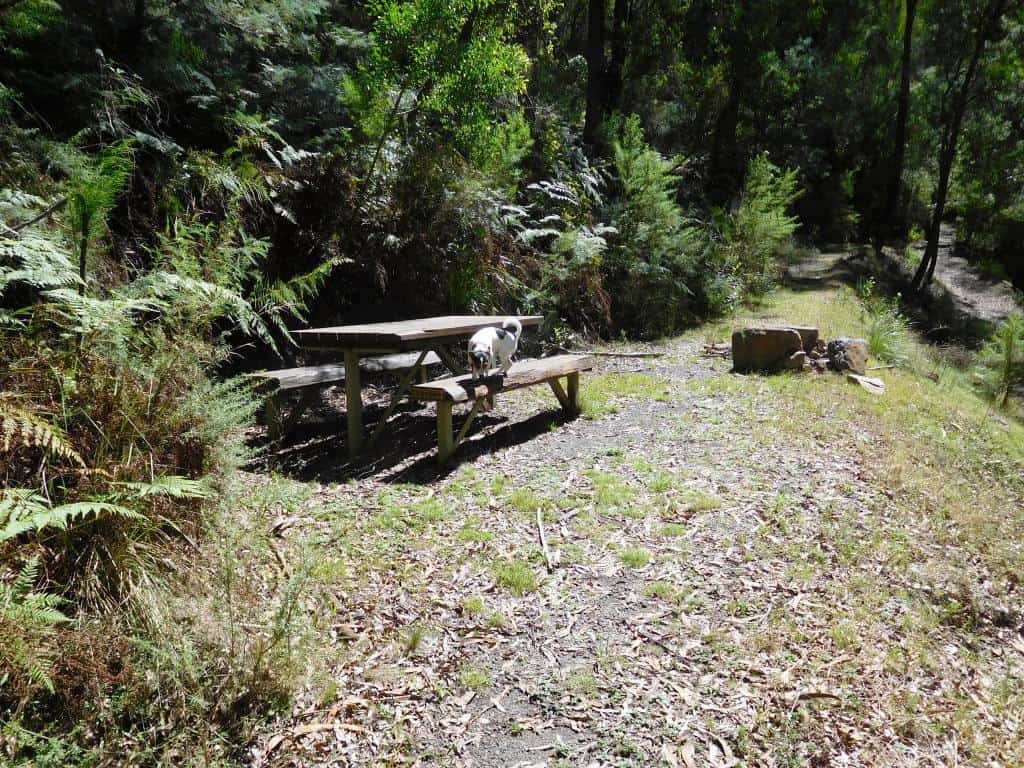
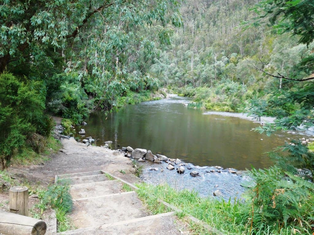
At the bottom there is this delightful picnic table and informative signs. You could easily camp right here. There is a fireplace as well.
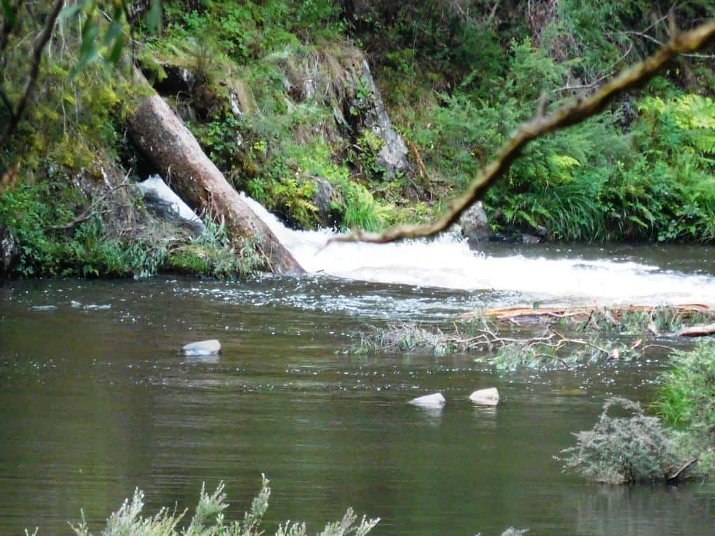
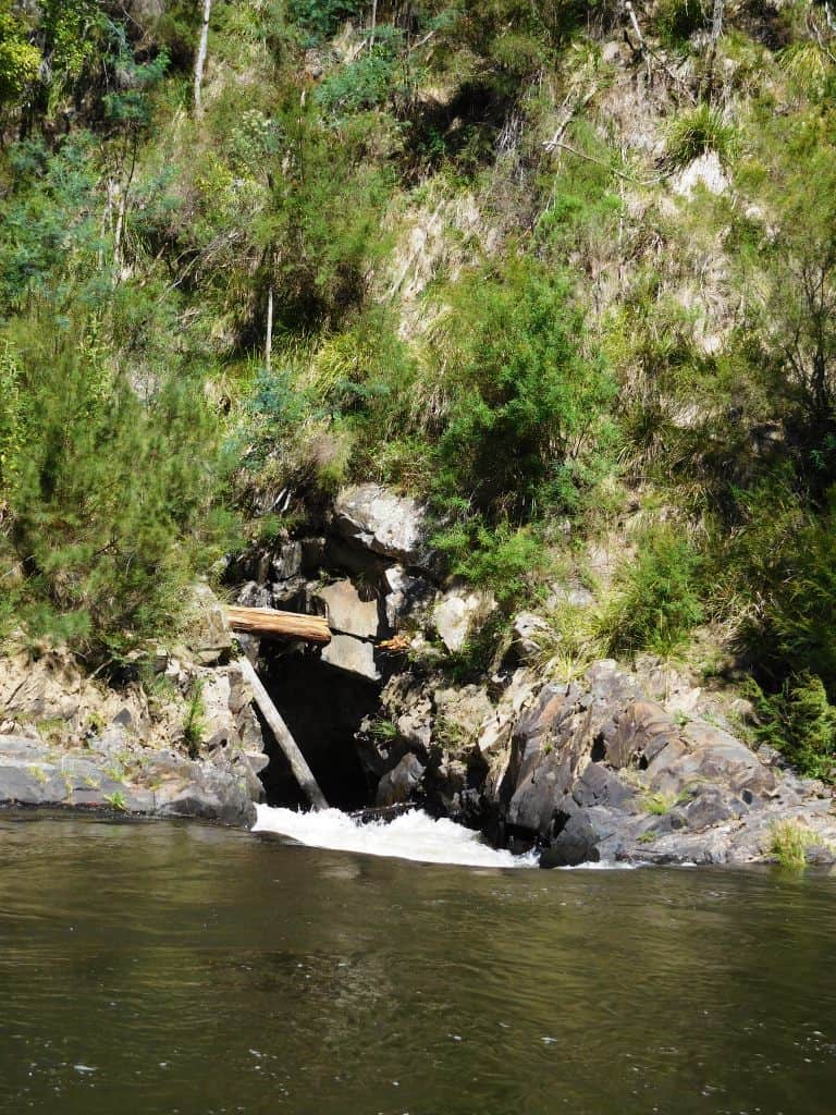
You can see the river exiting from the tunnel if you stand on the table – as I did for this shot.
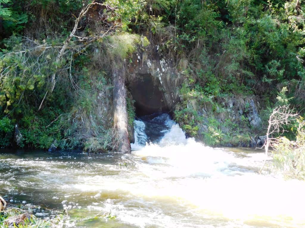
Close up it looks much fiercer.
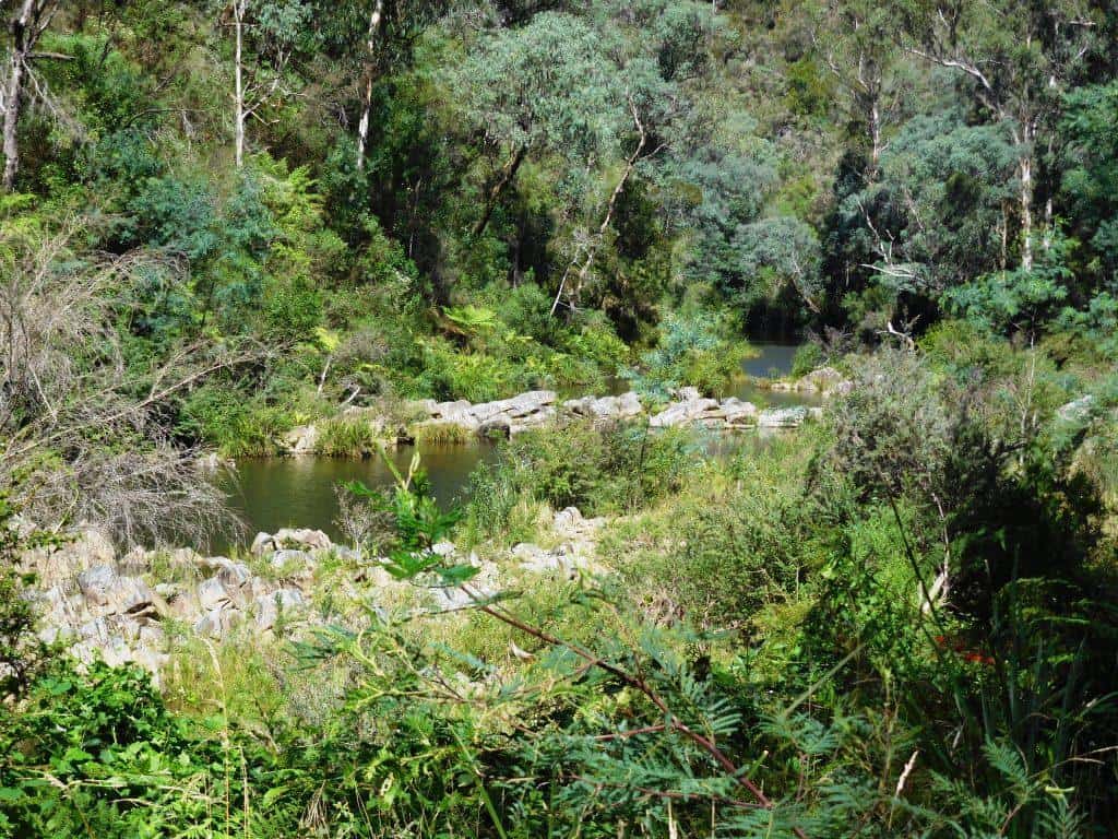
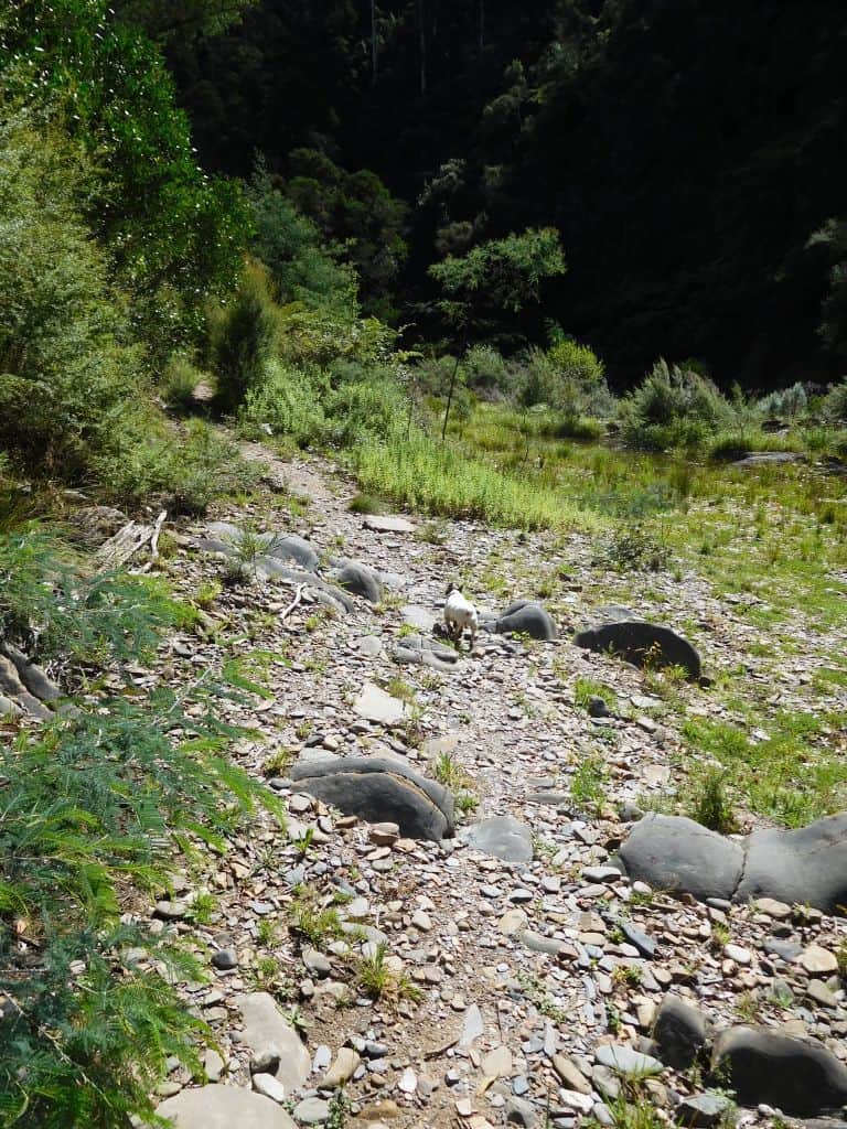
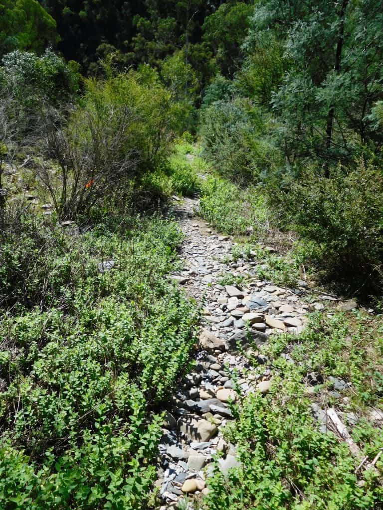
You walk along the dry river bed a couple of kms to the inlet.
As usual Spot leads the way. Plenty of places you could camp along here.
The track is fringed with lots of wild mint which casts up a delightful aromatic fragrance – another memento of the pioneer women of yesteryear.
You would not want to accidentally fall into the inlet. You would be pretty sore and sorry by the time you came out the other side – if you lived to tell the tale at all! Apparently on the day it opened the builder, his wife and children were swept through it – and they survived!
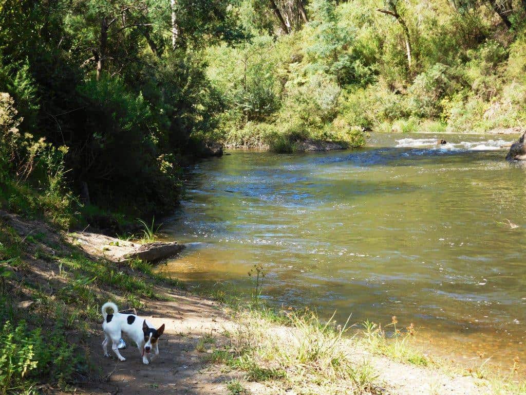
There is a beautiful beach both at the inlet and the exit – lovely places for a swim on a hot day.
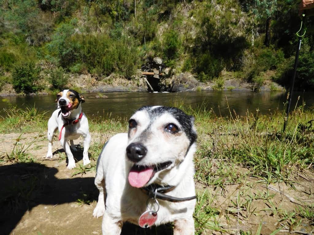
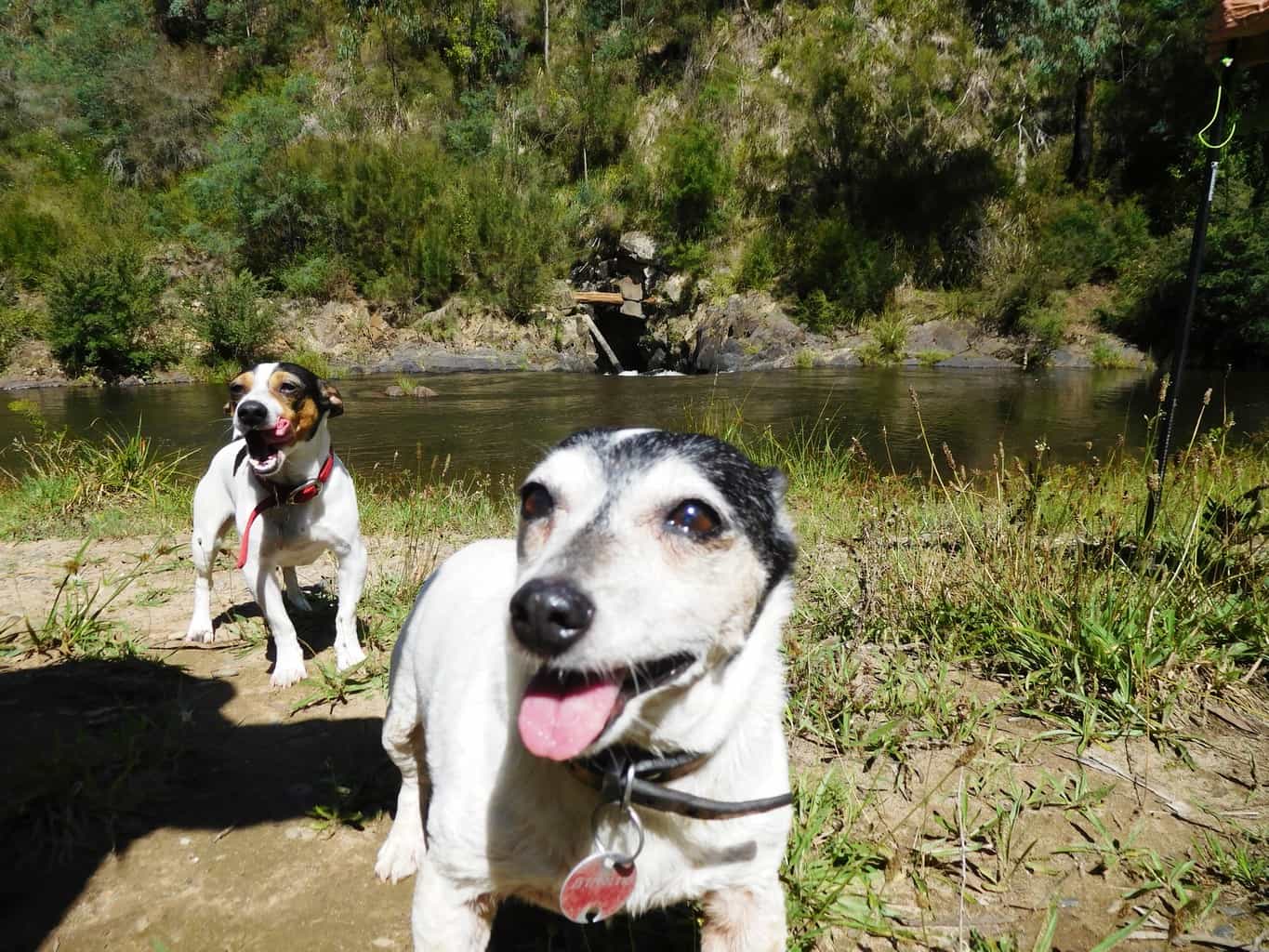
Spot and Tiny were more interested in lunch than in the tunnel – background.
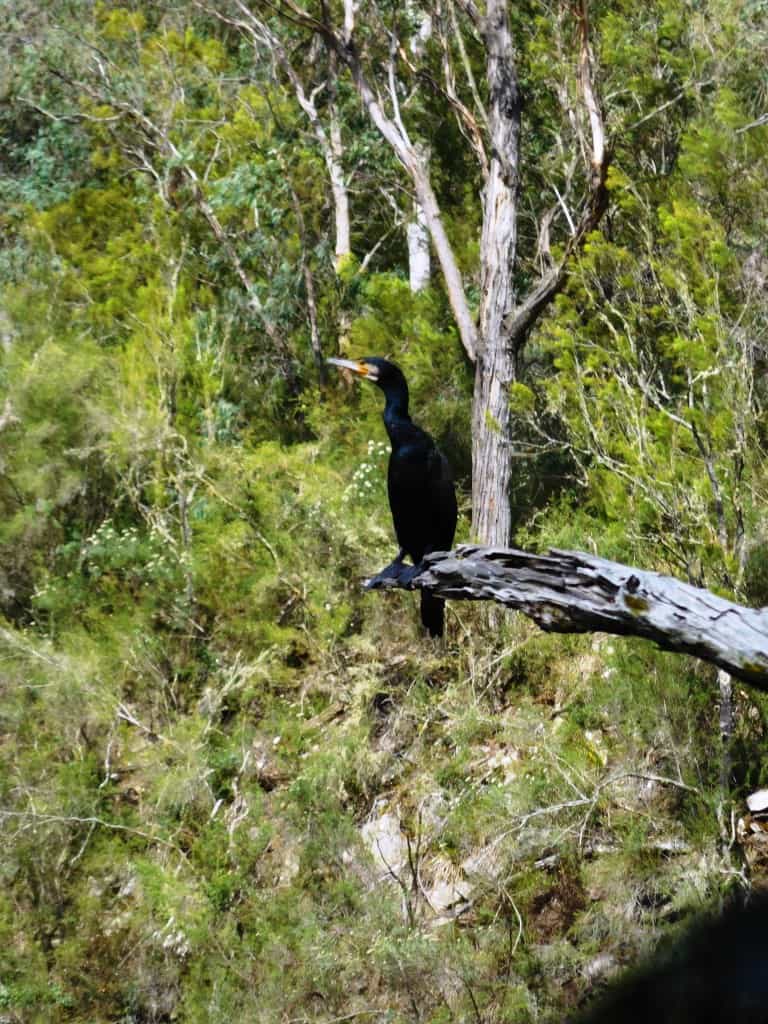
This shaggy local barely noticed us as we passed.
Coopers Creek is also only a couple of km from Platina Station. Excellent canoeing and swimming.
And extensive camping opportunities (with toilet facilities).
The Vicmap for this section is Walhalla South T8122-2-S
See also:
http://www.finnsheep.com/THE%20UPPER%20YARRA%20WALKING%20TRACK.htm
http://www.finnsheep.com/Track%20Instructions.htm
http://www.theultralighthiker.com/upper-yarra-track-update-section-one-moe-yallourn-rail-trail/
http://www.theultralighthiker.com/upper-yarra-track-update-section-three-wirilda-to-moondarra/
http://www.theultralighthiker.com/upper-yarra-track-section-four-moondarra-to-erica/
Mobile Phone works beautifully until you plunge downhill towards the Thomson River. SMS may still work. You will come back into mobile range after you leave Walhalla and begin the climb up from the Thomson River after the Poverty Point bridge.
See also Upper Yarra Track Winter Route:
http://www.theultralighthiker.com/western-tyers-river-great-for-crays/
http://www.theultralighthiker.com/the-western-tyers/
http://www.finnsheep.com/THE%20UPPER%20YARRA%20WALKING%20TRACK.htm
http://www.theultralighthiker.com/upper-yarra-track-update-section-one-moe-yallourn-rail-trail/
http://www.theultralighthiker.com/upper-yarra-track-update-section-three-wirilda-to-moondarra/
http://www.theultralighthiker.com/upper-yarra-track-section-four-moondarra-to-erica/
http://www.theultralighthiker.com/upper-yarra-track-section-five-erica-to-walhalla/
http://www.theultralighthiker.com/upper-yarra-track-summary-cumulative-distancestimes/
http://www.theultralighthiker.com/upper-yarra-track-osheas-mill/
http://www.theultralighthiker.com/a-beautiful-world/
http://www.theultralighthiker.com/upper-yarra-track-winter-route-caringal-scout-camp-tyers-junction/
http://www.theultralighthiker.com/upper-yarra-track-winter-route-western-tyers-to-tanjil-bren/
http://www.theultralighthiker.com/kirchubel-if-you-go-nowhere-else-in-the-world-at-least-go-here/
http://www.theultralighthiker.com/upper-yarra-track-winter-route-downey-to-newlands/

