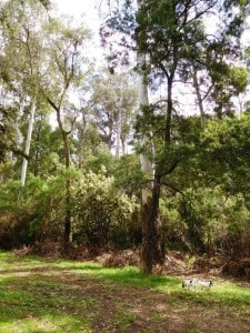
When you come to the end of the Wirilda Walking Track, our walk continues on East along the W18 through beautiful serene forest. The first suitable campsite, a really beautiful spot with water is when the trail crosses Jacob’s Creek on the Old Traralgon ‘Road’.
20 km – 5.5 hours
Lake Moondarra
It is about 11 km and 3 hours easy walking away. Follow the W 18 East 1.5 kms. You will see an old (closed) bush track exiting North. This loops back onto the W18 about 1km further along. It can be taken to provide scenic views of the dam, and a quieter walk (though the W18 track is never busy). It adds about 1.5 km to the trip. You could possibly camp along it and scramble down to the lake for water, but it is a fair way.
Gardens at Lake Moondarra.
Otherwise you walk along the W18 for approx 3.5 km to just before the tar road (1-200 metres). You will see a motorcycle track join the W18 from the South and exit it to the North where it has more the appearance of a dirt road. This motorcycle track parallels the main road (about 100 metres inside the bush) all the way to the Old Traralgon Road and should be taken for a shorter, quieter walk. There are a number of spots where it crosses dirt tracks running roughly East-West.
If you are short of water you can take one of these and go out on to the main road (also not busy) as there are fire dams along it (at least ten of them!) every .5 km or so; the last being just after your turn-off at ‘Conference Corner’, where you would turn to go to Cowwarr Weir and Brunton’s Bridge if you were heading that way. Each of these dams is set back 20-30 metres from the main road and surrounded by a grassy flat. I imagine you could find somewhere along here to camp if you needed to.
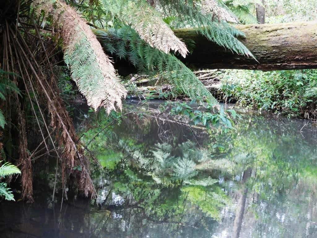
It is approximately 5 km to the W2 Track or ‘Old Traralgon Road’ which runs to the West. Following the W2 2.5 km to the West you will come to the delightful campsite at Jacob’s Creek amid majestic gums where you may catch a trout or a cray during you stay.
Jacob’s Creek to Erica: 9 km (2.5 hours) No water until you get to Erica.
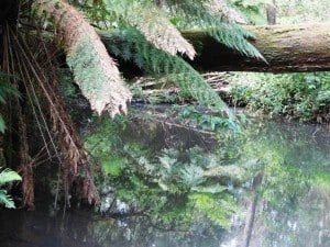
Jacob’s Creek.
Leaving this camp continue West on the Old Traralgon Road 1.5 km until you come to the Old Coach Rd then turn North. Follow it 1.5 km until you come to Bluff (or Jacob’s Creek Rd) and turn West. If you are thirsty you can walk east on Bluff Rd about 200 metres for a drink to where it crosses Jacob’s Creek. A further 2 km West brings you out on to the main Moe-Erica Rd. You can walk along the power line track (North) just before it. The gravel road (an old railway easement) which parallels the main Rd criss-crosses it, (eg at Collins Siding – where the houses are at the Carringal or Tyers Junction turn-off (1.5 km) It is about 2.5 km from this turnoff in to Erica.
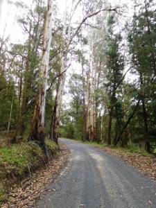
Jacob’s Creek Rd
As you come in to Erica there is a Hotel (which serves excellent meals) on the West side of the street and a Caravan Park/ camp ground opposite on the East side, just behind the recreation grounds (public toilets, water). The General Store is about .5 km further North up the street. The Erica-Walhalla Rail Trail begins at the end of the laneway (.5 km) on the North side of the caravan park. It is well signposted and marked. You can easily follow it all the way in to Walhalla (approx 12 km – 4 hours). You could drive a vehicle along it, but you may not.
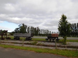
Remnants of the old railway line in Erica.
The Erica Walhalla Rail Trail Begins: Only `12 km to go!
The Vicmaps for this section are Moe North T8121-1-N and Walhalla South T8122-2-S
See also: http://www.finnsheep.com/THE%20UPPER%20YARRA%20WALKING%20TRACK.htm
http://www.theultralighthiker.com/upper-yarra-track-update-section-one-moe-yallourn-rail-trail/
http://www.theultralighthiker.com/upper-yarra-track-update-section-three-wirilda-to-moondarra/
Mobile Phone works beautifully from Old Coach Rd onwards.

I love what you’ve done here and on the other website. No complaints..except its a bit hard to make sense of. The chronology of the walk sections….but still love it.
Thanks Bob. I know I need to tidy some of it up a bit. Only so much time, and much of it I want to spend having fun! The Upper Yarra Track Instructions are now in the right order I think though. Much better than the instructions available from the DSE anyway! Cheers.