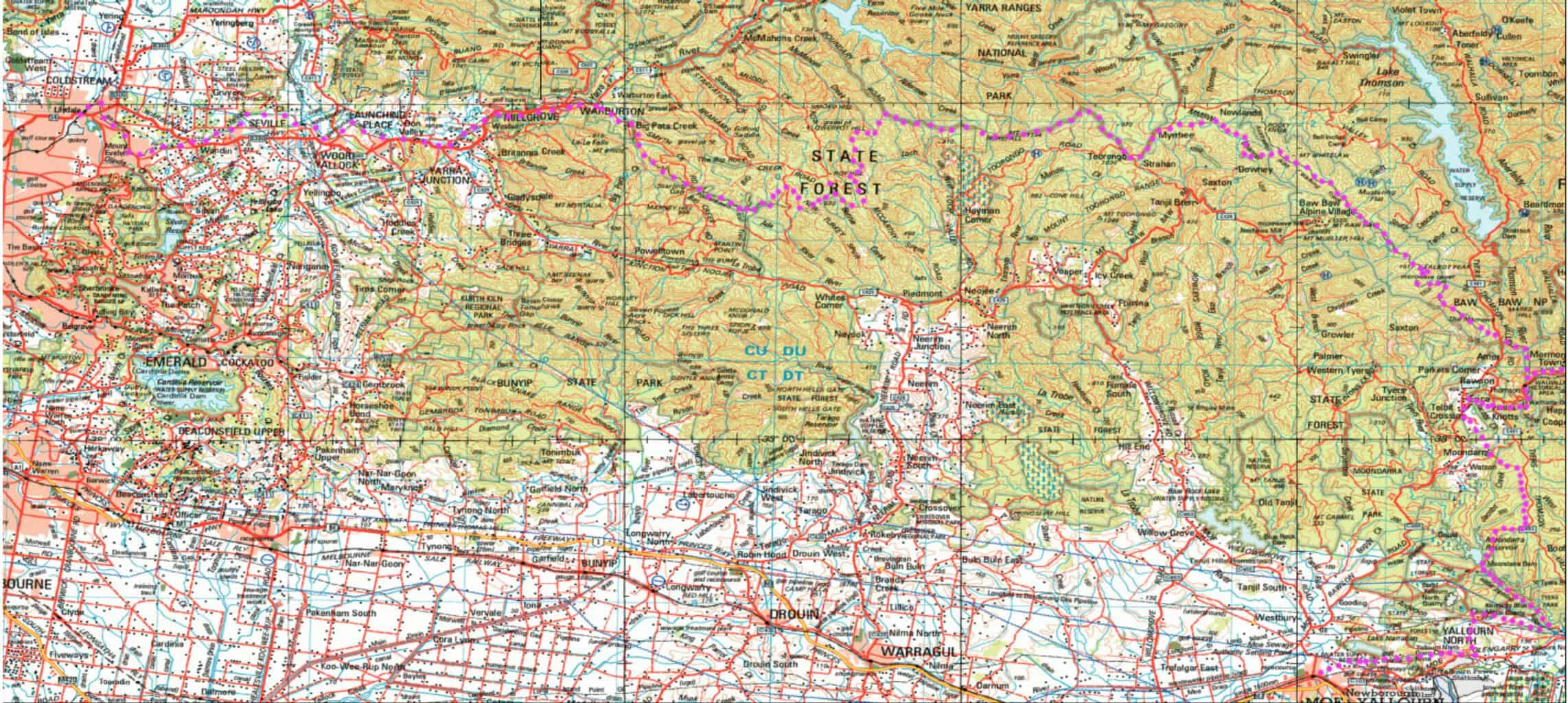
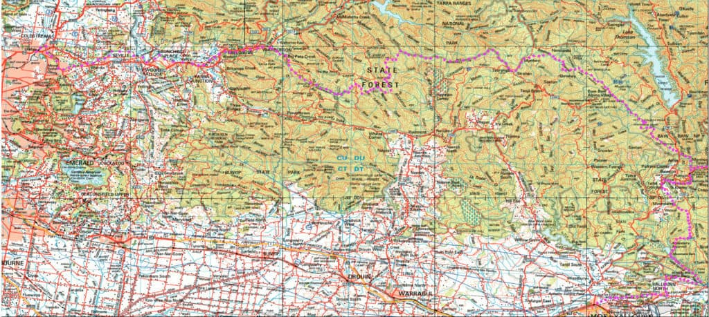
Here is a map showing the whole of the (Extended) Upper Yarra Track from Lilydale all the way to Moe, approximately 250 km and 8-10 days: Australia’s oldest and best long distance hiking track. It could be a better map, but it is better than no map. I have used the 1:250,000 Australian Topo map available free from the Australian Government. You should be able to zoom in on it if you (Right Click) ‘View Image’, then Zoom (Control +) a few times. (Unfortunately a Plugin has shrunk the map. See the Pdf version below) In the Track Instructions you can find suggested maps (and Apps) you should buy for walking the track. I am working on a better map which will be posted on the Track Instructions page in the near future. For further information go to: http://finnsheep.com/THE%20UPPER%20YARRA%20WALKING%20TRACK.htm
You can download all these maps for free and use them with Pdf Maps to navigate the whole trail. See: https://www.theultralighthiker.com/2019/10/27/geoscience-australias-free-1250000-topo-maps/ & https://www.theultralighthiker.com/2017/07/07/restore-pdf-maps-functionality/

NB. Below is a full-sized copy of it as a pdf. You should be able to open and zoom in on it, or copy it to your phone and view it with Pdf Maps/Avenza.
Upper Yarra Track.pdf

