Della: Steve and I, with Tiny and Spot, spent the last 2 days walking over the Baw Baw Plateau from Baw Baw across to Newlands Road on the Upper Yarra Walking Track. It was a delightful walk and we selected good weather for it (which is needed!). One section on the first day was particularly hard-going, and only on the second day did we discover that we had taken an old, heavily overgrown route to Phillack saddle instead of the (apparently!) new route which now exists. Computer maps are not always up to date! It was beautiful, but daunting. We will return to try out the new route another time! The second day’s walk from Phillack Saddle to Newlands Road was lovely and good walking, apart from the last couple of kilometres where the track was overgrown with seasonal weeds. A beautiful trip overall!

Mueller’s cairn, Baw Baw summit. Leaping dogs!

Baw Baw, Mueller’s Lookout. Love the bearded fence!
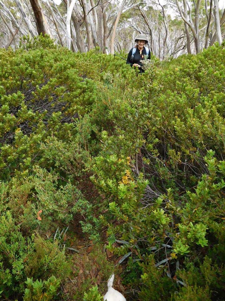
Old (wrong) Baw Baw to Phillack Saddle track. The track is well below the chest height of the vegetation.
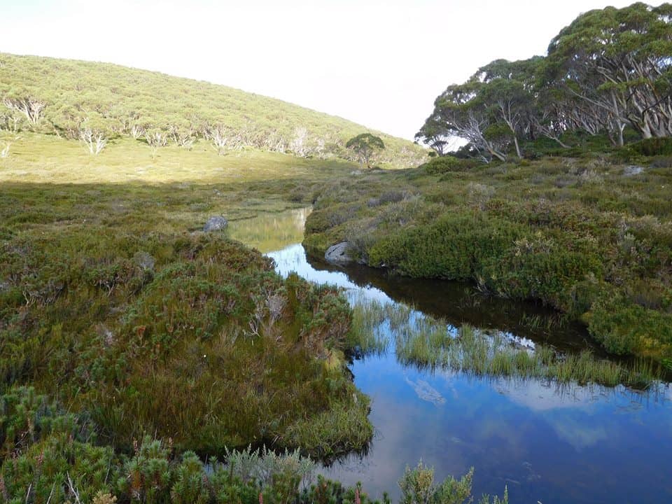
But even wrong tracks have their bonuses. This is indeed a splendid vista. Freeman’s Flat.
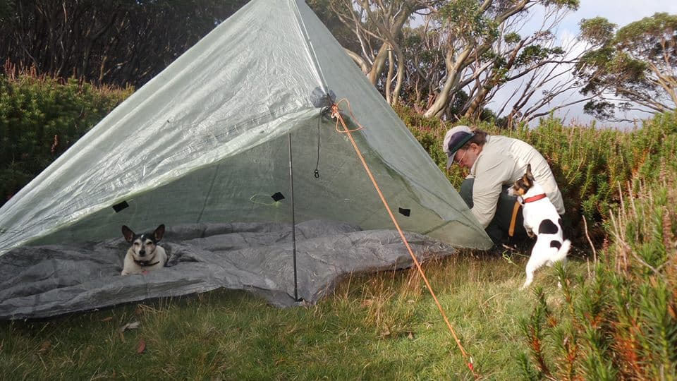
Phillack Saddle: first night’s camp. Dogs being helpful. Tiny went to bed before the tent was up!

Tiny and me warm in in our tent.
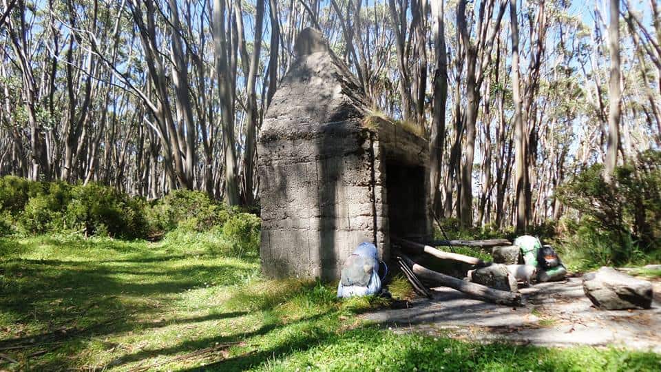
Mount Whitelaw hut ruin. Lunch, day 2.
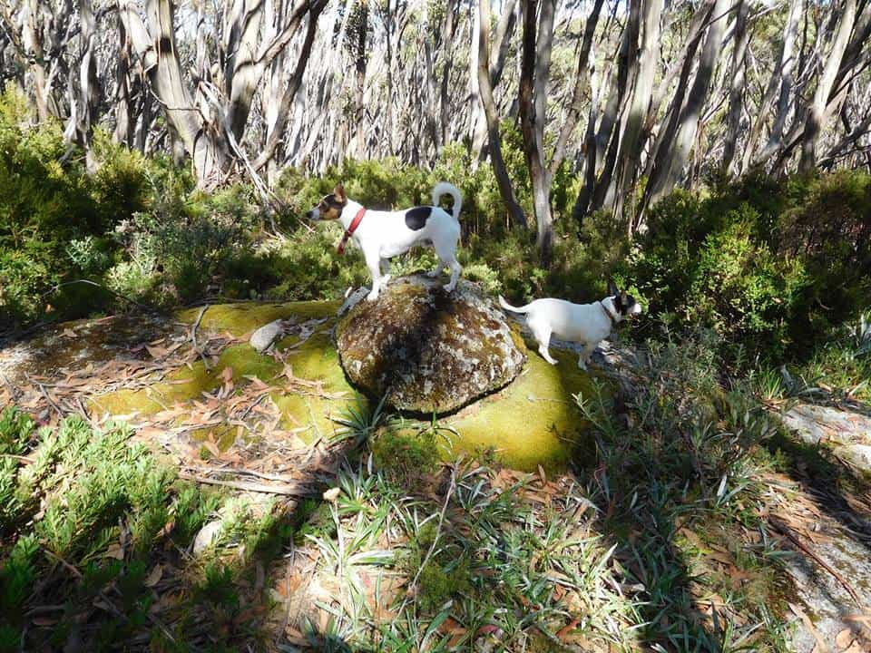
Love this pic that Steve took! He was going to snap this fairly mundane rock when the 2 dogs leapt on top and made the picture a winner!
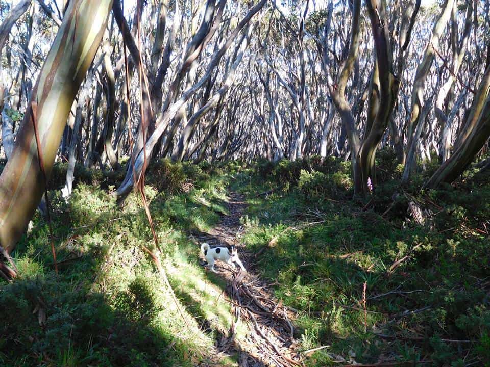
Great scenery. Spot leaping ahead.
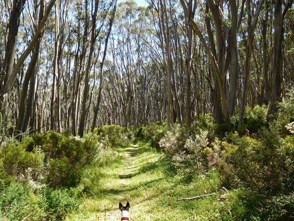
Spot leading the way.
Mobile Phone works most places along the top of the Baw Baw Plateau.
Vicmaps: Walhalla North T8122-2-N & Noojee North T 8122-3-N
WARNING: The Vicmaps incorrectly locate the trail from Baw Baw to St Gwinear as coming off the ‘Village Trail’ at Baragwanath Flat: This is the old trail which is well-nigh impassable (though we did!). The new (well-maintained) trail begins a little west of there and exits onto the Alps Walking Track West of St Phillack Saddle (where there is an excellent campsite with water), not right at the saddle as does the old trail. Warning 2: Trails down from the Alps Walking Trail to Newlands Road: there is only one trail, not two as shown on the Vicmaps. It is an old gently sloping forestry road approx 7 metres wide. In places it is a little overgrown (mostly with annual weeds), but easy to follow. I marked it with coloured tape every half a km or so. The beautiful 3 km down to Newlands Rd will likely take you 1.5-2 hours. NOTE: There is a good camp with water on this old road as it crosses the diminutive Thomson River (here just a brook) about .5 km off the main Alps Trail. After hitting Newlands Rd you can camp on the side of the road every time it crosses the river or is near enough to the river for water (lots). About a km before the end of Newlands Rd after the last Thomson River crossing (with its ‘No Camping’ sign – ignore), there is a track off to the North which leads to a beautiful dam about half a km away full of trout with delightful campsites. This is the last good campsite with water before you get to Toorongo (Link Rd)

Thanks for these excellent guides. They are the best source I have found and the tips on the states of the tracks are invaluable. As far as your dogs go, I am sure that they are great companions and they have much less impact than the roads, cars, loggers and such. Good on you!
Thank you very much for your positive comment. I plan to finish off my posts about the Upper Yarra, then start on another one. Have you caught up with my canoeing posts – they should interest you too.
Dogs in a National Park? Hope you get caught.
Cheers, to you too! They pulled down and devoured several other hikers and a swag of large native animals too! Such rules are as stupid and unnecessary as is the existence of National Parks themselves – land which is managed only for widespread destruction by wildfire, weeds and pest animals.There is a better way.
This.
This: https://www.theultralighthiker.com/2017/04/12/yarra-falls-shelter-house-2/