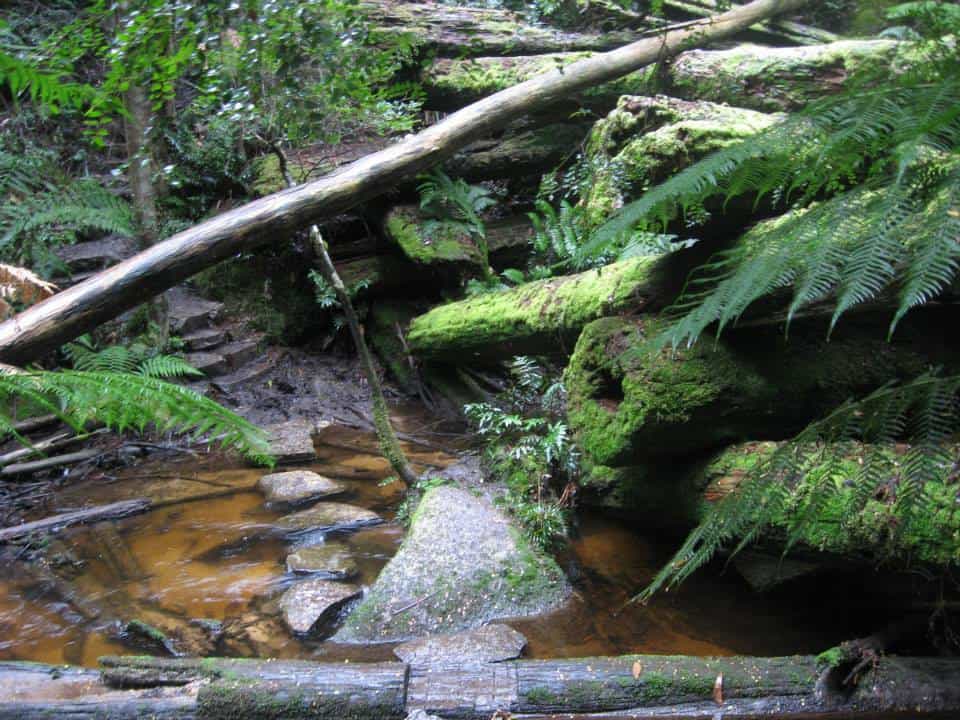
As you can see the track is well made, delightful and easy to follow from the Ada Tree all the way to Warburton, with numerous signposts. If you have a couple of days to spare, this is a pleasant jaunt. You can turn it into a loop: http://www.theultralighthiker.com/ada-tree-loop-walk-4-days/ Gerard White and his partner Bridgette completed this section of the walk back in July 2015 (even encountering snow at Starlings Gap!) and have kindly provided the photos below:
The Ada Tree is huge,
With a tiny crown typical of these giant Mountain Ash.
Many photo ops along the trail. Hobbits would like this.
A few stream crossings which do not even daunt Jack Russells – though they may need a raincoat in the wetter weather. See: http://www.theultralighthiker.com/tyvek-jack-russell-rain-coat-13-grams/
You pass the remnants of a number of old timber settlements, eg ‘The New Ada Mill’,
What a colossal log jam
And again. Fortunately you don’t have to scramble over it.
You can gently tiptoe round it.
Wondrous how the memories of yesteryear meld into the forest.
The turnoff to the Walk into History (High Lead) trail.
Jack Russels always lead the way.
Ruins of an enormous drum used for winch logging.
And an old steam boiler
From Starlings gap it is 9 km to Big Pats creek camp ground.
Starlings gap is quite beautiful, and can be reached by car for day walks..
With delightful facilities.
Lots of logs to sit on. Picnic tables, fire pits.
Even a light dusting of snow in July.
A beautiful track leads along the river towards Warburton.
Fringed by some splendid timber.
Delightful mossy logs.
A simply beautiful stream.
Plenty of crays here.
The track is an old timber tramway.
The track begins/ends here.
Big Pats Creek.
Turnoff to/from Big Pats Creek. A pleasant stroll into Warburton.
See also:
http://www.finnsheep.com/THE%20UPPER%20YARRA%20WALKING%20TRACK.htm
http://www.finnsheep.com/Track%20Instructions.htm
http://www.theultralighthiker.com/upper-yarra-track-update-section-one-moe-yallourn-rail-trail/
http://www.theultralighthiker.com/upper-yarra-track-update-section-three-wirilda-to-moondarra/
http://www.theultralighthiker.com/upper-yarra-track-section-four-moondarra-to-erica/
Mobile Phone works beautifully until you plunge downhill towards the Thomson River. SMS may still work. You will come back into mobile range after you leave Walhalla and begin the climb up from the Thomson River after the Poverty Point bridge.
See also Upper Yarra Track Winter Route:
http://www.theultralighthiker.com/western-tyers-river-great-for-crays/
http://www.theultralighthiker.com/the-western-tyers/
http://www.finnsheep.com/THE%20UPPER%20YARRA%20WALKING%20TRACK.htm
http://www.theultralighthiker.com/upper-yarra-track-update-section-one-moe-yallourn-rail-trail/
http://www.theultralighthiker.com/upper-yarra-track-update-section-three-wirilda-to-moondarra/
http://www.theultralighthiker.com/upper-yarra-track-section-four-moondarra-to-erica/
http://www.theultralighthiker.com/upper-yarra-track-section-five-erica-to-walhalla/
http://www.theultralighthiker.com/upper-yarra-track-st-gwinear-track-junction-to-whitelaws-hut/
http://www.theultralighthiker.com/upper-yarra-track-summary-cumulative-distancestimes/
http://www.theultralighthiker.com/upper-yarra-track-osheas-mill/
http://www.theultralighthiker.com/a-beautiful-world/
http://www.theultralighthiker.com/upper-yarra-track-winter-route-caringal-scout-camp-tyers-junction/
http://www.theultralighthiker.com/upper-yarra-track-winter-route-western-tyers-to-tanjil-bren/
http://www.theultralighthiker.com/kirchubel-if-you-go-nowhere-else-in-the-world-at-least-go-here/
http://www.theultralighthiker.com/upper-yarra-track-winter-route-downey-to-newlands/


