From Neates Track down to the Kingwell Bridge takes about 2 1/2 hours paddling. If you put in at the riverside camp just above Neates track it would take three hours. This would be a pleasant excursion if you were camped there. Mostly this section travels through farmland but as with much of the river, it does not intrude except sometimes (as in the case of the giant elms etc) to impart a sense of other-wordly beauty and majesty. Indeed the whole trip could be split into three pleasant day trips. The two sections above this would be: Eaglevale to Bullock Flat and Bullock Flat to the campground above Neates Track. Each would probably be about 3-4+ hours.
Here we are once again setting out:
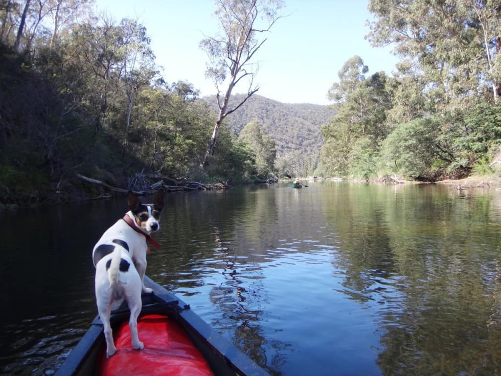
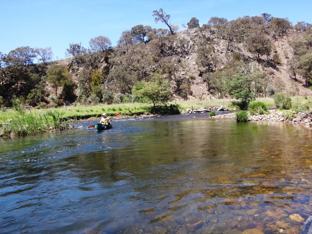
Once again it is a superb Spring morning.
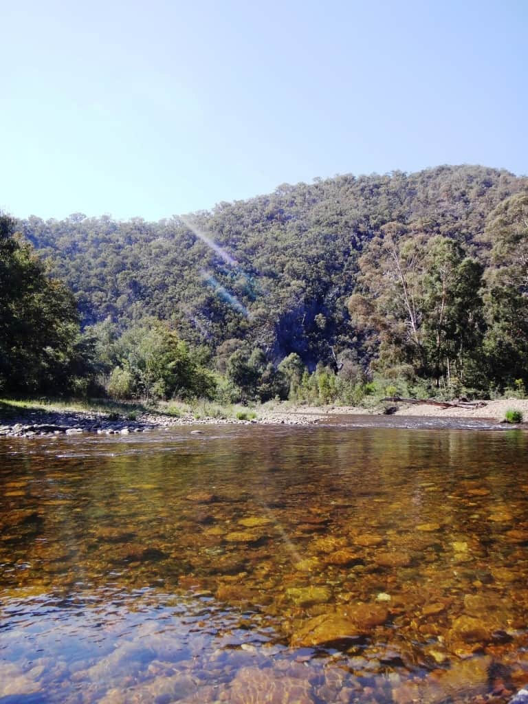
The river fairly glows with vitality and beauty.

This is the kind of log which would flip you out. You might not get round the inside of it. A little later on a similar log, I did not – and the two dogs and myself had a pleasant swim!

Just as we were about to come out into a view of the large clear hill on the right where the old Telstra facility used to be, there was a tiny finger of bush between the road and the river – I guess no more than 1/2 an acre. Spot began barking (something which he hardly ever does), wanting to jump from one canoe to the other, jump into the river, onto the bank… Of course we were snapping back at him.
Then two very large sambar hinds ran regally across our path not thirty yards ahead of us. Far too quickly unfortunately for me to get my camera out and get a snap of them. Worse luck! Bizarrely enough I had managed to flip myself out on a branch just up the river and I had managed to set my camera to video mode, so I have an audio record of him barking. I had even taken my camera out of my pocket just seconds before this, realised that it was recording, switched it off and slipped it back into my pocket, just after this excerpt. If I had just kept videoing for another 20 seconds I would have had a beautiful piece of film…
(NB: Can’t figure out this morning how to get this piece of video working, but if you click on the numbers above it should play)
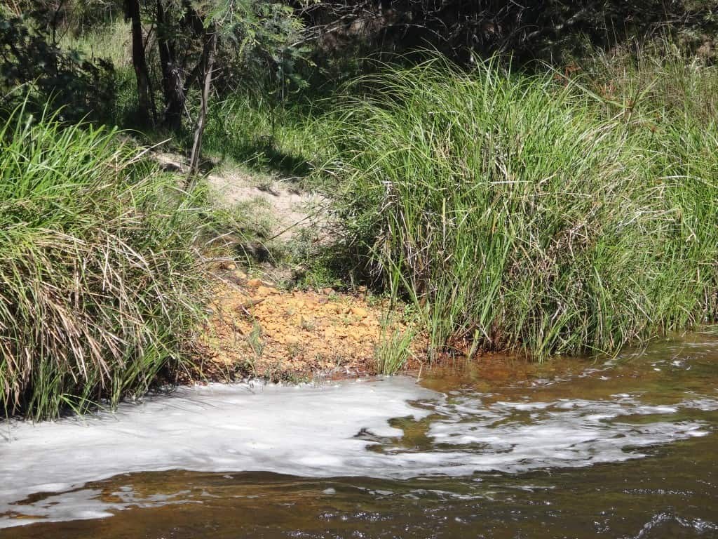
Some more of that strange ochre staining just past the spot where the deer disappeared onto the left bank.
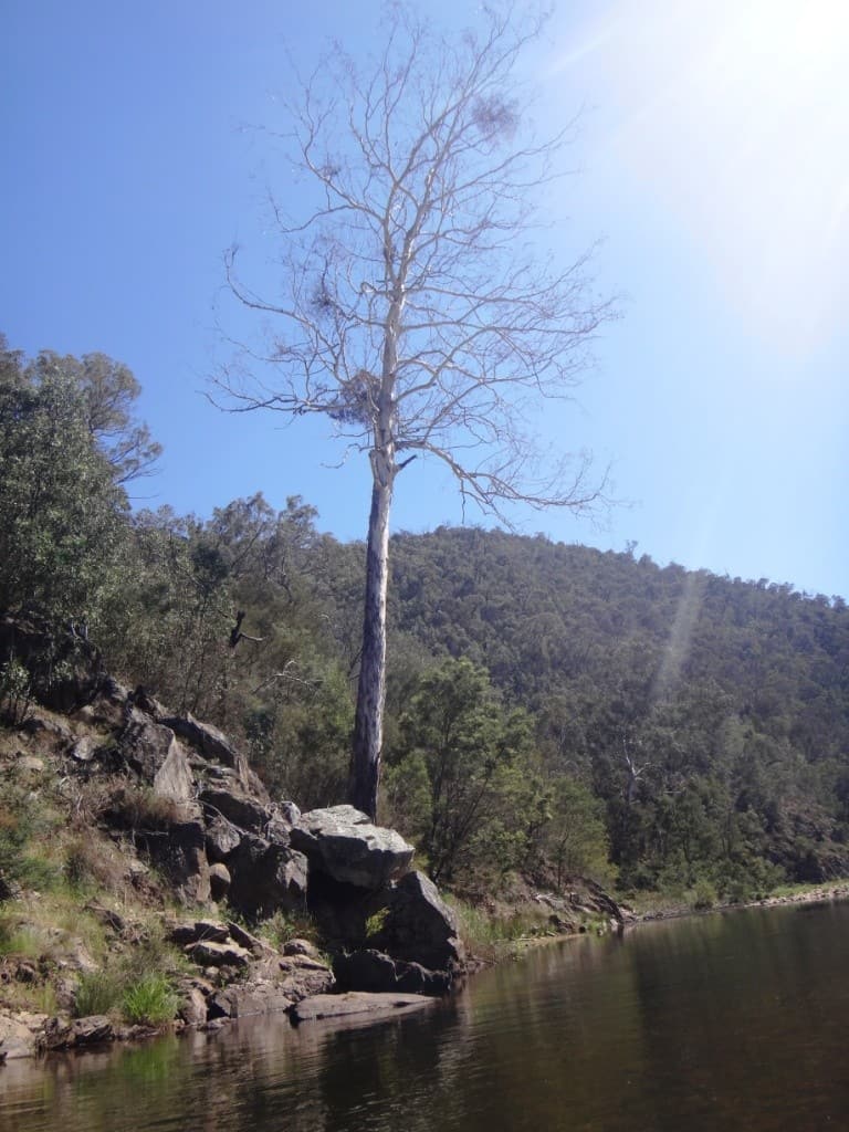
Even in death this old gum imparts a wanton beauty.
The murmur of immemorial elms:

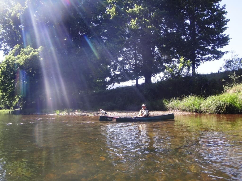
Don’t these beautiful European trees really dress a river up a treat. There should definitely be many more of them. Bring back the willows!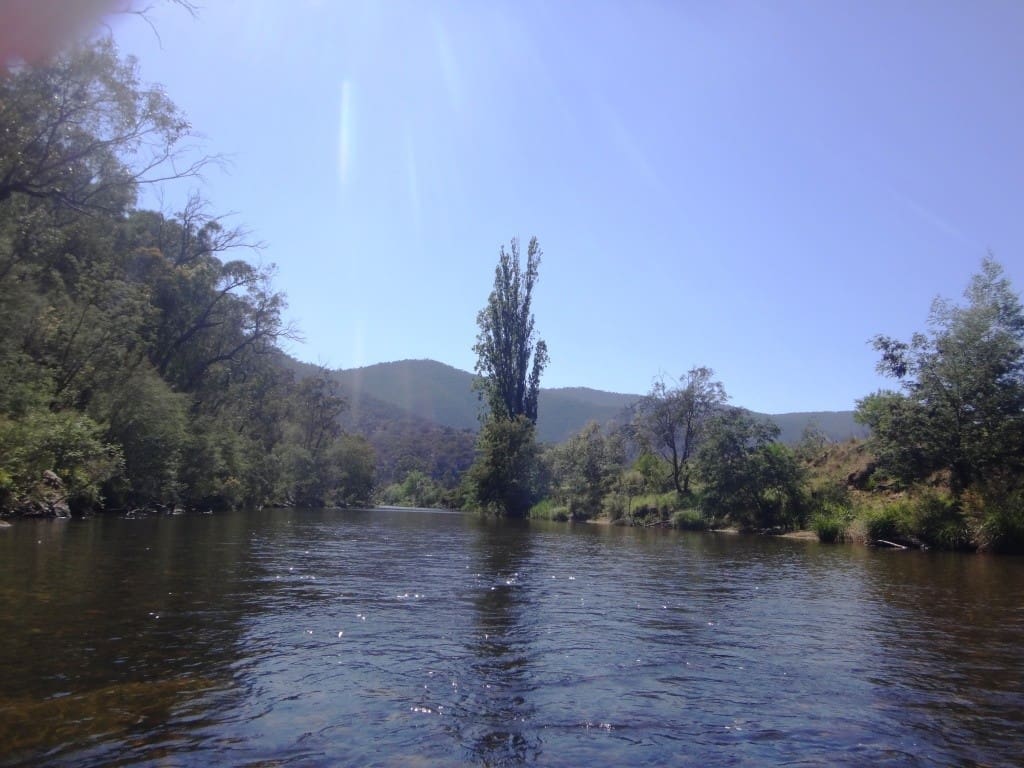
The Crooked River suspension bridge.
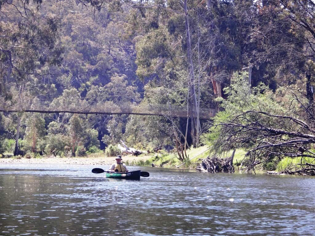
Crooked River confluence.
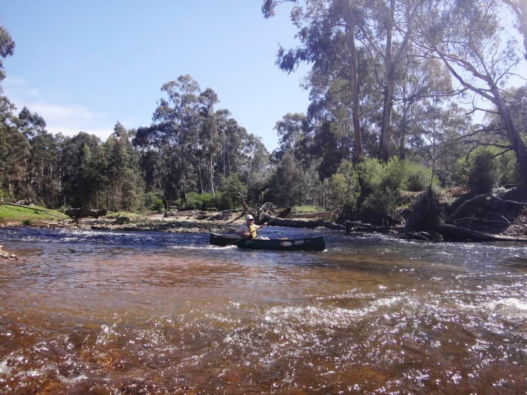
Still the odd pleasant rapid.

A lovely beach just up ahead. Time for ‘elevenses’.

What a fine little beach.

I guess that’s Conways Track winding up the hill above the flock of wood ducks.


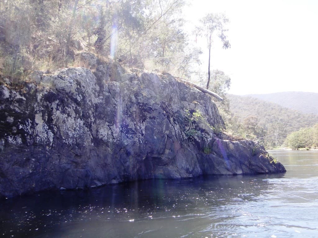
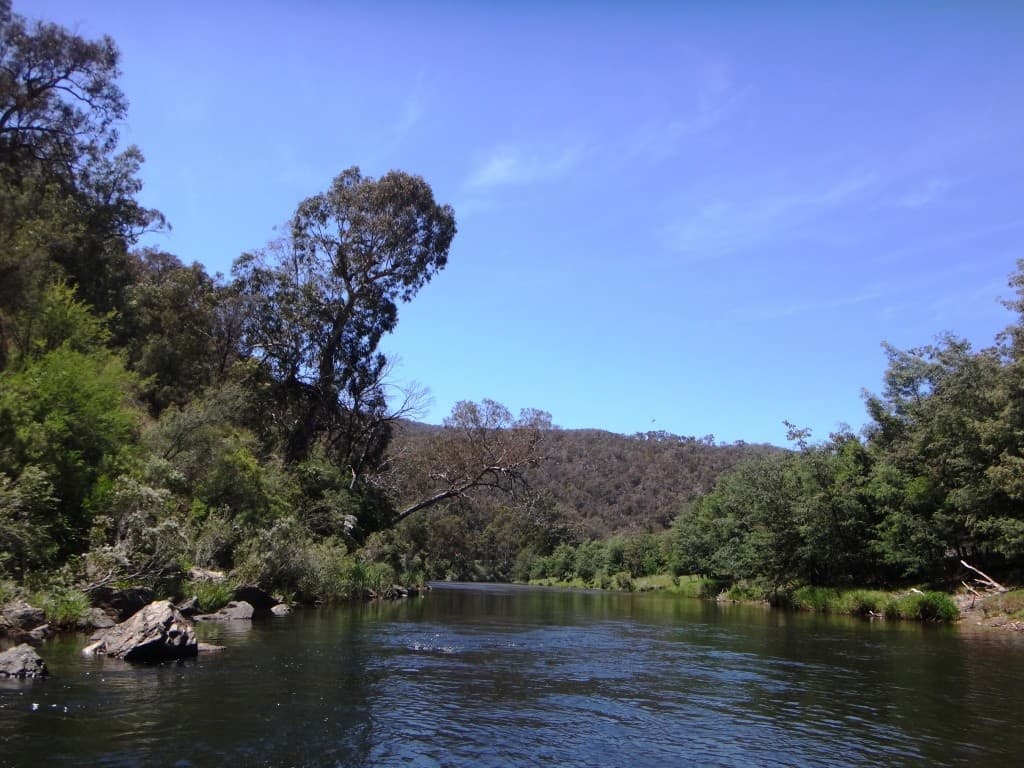
I guess this old guy will be in the river before long – worse luck. The willows had saved it for generations, but a couple of floods, and down it goes!

Just about the last rapid – Della is looking quite expert here.

Finally the Kingwell Bridge hoves into sight.
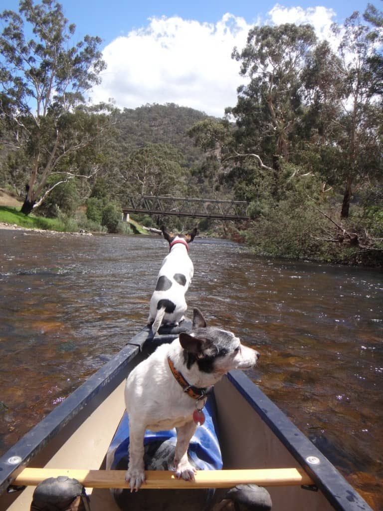
It was a lovely trip spoiled only by these two things: seeing that hoons had just about burned down Gee’s Hut at the Black Snake Creek which had been lovingly restored only recently (only to be shot full of holes – as also was the public toilet there) within about two weeks. Really, a passport ought to be a required before they let such folks out of the cities!

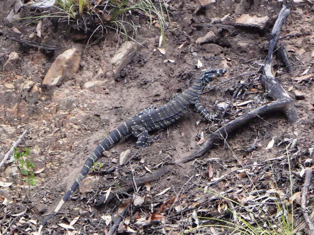
And this: on the main road just out of Iguana Creek someone had shot a large stag in their car’s headlights and cut off its head with a chainsaw. Such expert hunting. Mind you, it had made a fine meal for this other bush predator:
See Also:
http://www.theultralighthiker.com/a-wonnangatta-spring/
http://www.theultralighthiker.com/a-wonnangatta-spring-day-two/
http://www.theultralighthiker.com/a-wonnagatta-spring-day-three/
Section 1: http://www.theultralighthiker.com/wonnangatta-kingwell-bridge-to-black-snake-creek/
Section 2: http://www.theultralighthiker.com/wonnangatta-black-snake-to-hut-creek/
Section 3: http://www.theultralighthiker.com/wonnangatta-hut-creek-to-waterford-bridge/
http://www.theultralighthiker.com/canoe-wonnangatta/
For River Heights: http://www.theultralighthiker.com/canoeing-the-wonnangatta-catching-the-wave/
http://www.theultralighthiker.com/pack-rafting-the-wonnangatta-mitchell/
http://www.theultralighthiker.com/videos/dawn-surprise-rapid-wonnangatta-river-australia-day-2017/
http://www.theultralighthiker.com/wonnangatta-waterford-to-angusvale-day-one/
http://www.theultralighthiker.com/wonnangatta-waterford-to-angusvale-day-two/
http://www.theultralighthiker.com/wonnangatta-waterford-to-angusvale-day-three/
http://www.theultralighthiker.com/videos/canoe-wonnangatta-the-movie/


Love this trip! Will get to doing it one day. Thanks to you and Della, oh and of coarse Spot the deer pointer legend?
Thanks Muzza. And tomorrow I plan to start coming down from the Humffray to Eaglevale – if I can hitch a lift! There is enough water but Della is not up to driving a 4WD into the station. Lots of folks go in though, so if I stand at the Eaglevale crossing long enough I should manage it. otherwise I will have to walk up and canoe back. Cheers, Steve.